Pros & cons
PROS
- True wilderness solitude in Fiordland’s far southwest
- Tannin-dark waters create rare shallow-water black/red coral habitats
- Shore excursions to historic relics and abandoned settlements
CONS
- Extremely remote with no services; access is by boat or helicopter
- Frequent rain and sandflies; logistics and safety are demanding
Overview
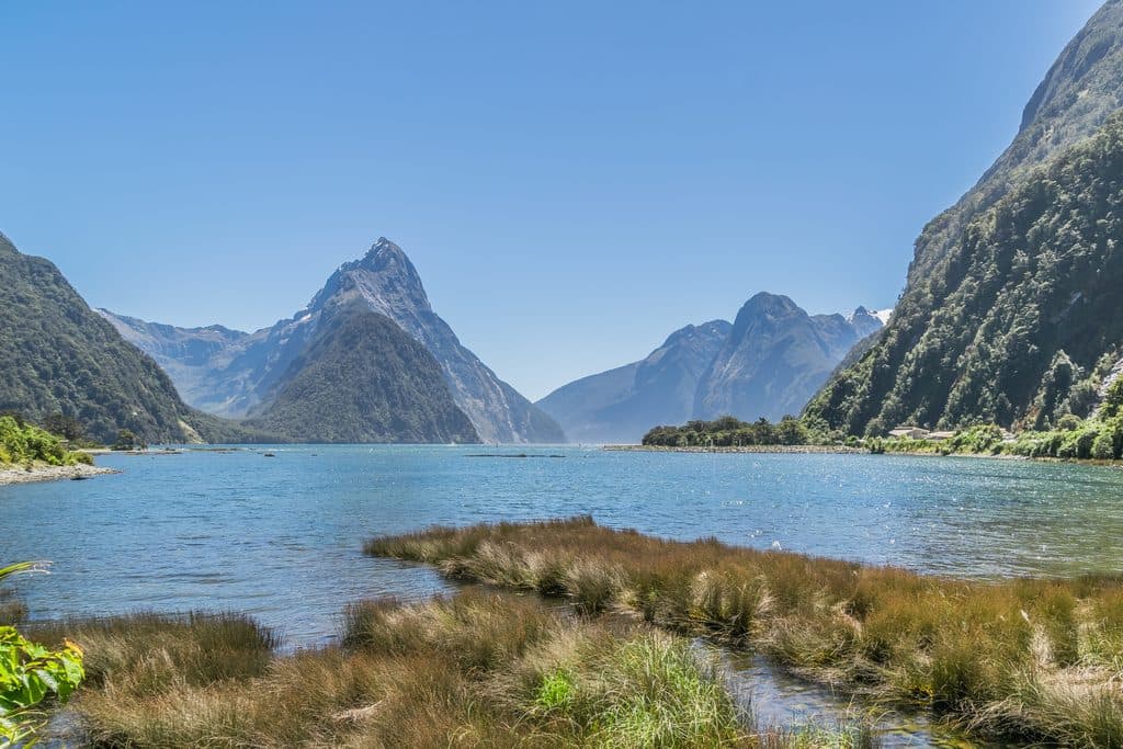
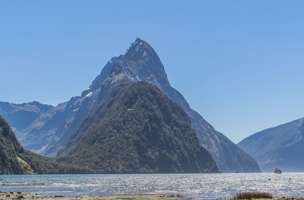
Rakituma / Preservation Inlet is Fiordland’s far-flung, least-visited fiord—huge, intricate, and gloriously empty. Think quiet, tea-stained waters, steep rainforest-clad walls, and days where you won’t see another party. If Milford feels busy, this is its quiet, brooding cousin.
What Makes It Different
A freshwater layer (stained by forest tannins) sits over seawater, dimming the light and letting deep-sea species thrive at accessible depths—most famously red and black corals and other unusual invertebrates. It’s a rare, science-nerd-meets-wilderness combo you won’t find in the park’s busier fiords.
Scenery & Wildlife
Expect tranquil inner-fiord waters, lush temperate rainforest, and on the more exposed outer coast, big bull kelp and productive waters. Seals and dolphins are sometimes seen, and the surrounding forests are part of Fiordland’s stronghold for rare native birds. Under the surface, the inlet’s unique light regime shelters remarkable marine life.
History in the Bush
The inlet carries a layered story: early Māori presence, sealers and explorers, then a short-lived gold rush in the late 1800s. On guided visits you’ll find relics, abandoned sites, and a palpable sense of rise-and-fall in this remote corner.
Getting There & How People Visit
There’s no road. Visitors typically arrive on multi-day expedition cruises or by private charter, often mixing helicopter transfers, tender explorations, kayaking, and guided walks ashore. Independent access by private boat is possible for the well-prepared. On land, facilities are almost nonexistent—there’s a single basic DOC bivvy-style hut (with a pit toilet) and otherwise pure backcountry.
Conditions to Expect
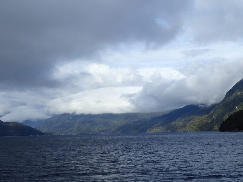
Weather is highly changeable and often wet. Navigation can be challenging, and help is far away. Bring full supplies, navigation tools, and emergency gear; there are no shops, no fuel, and no cell service. The sandflies are relentless—plan accordingly.
Geology Snapshot
Like Fiordland’s other fiords, Preservation was carved by glaciers and later flooded by the sea. An underwater sill at its entrance restricts circulation, helping create the dark-water conditions that make the marine community so unusual.
Best Time to Visit
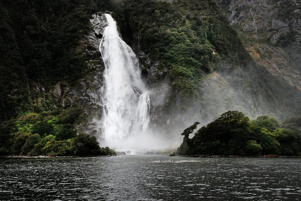
There are no set hours and crowding is minimal year-round. Your timing is more about operator schedules and weather windows than days of the week. Calm mornings can reward photographers with glassy reflections; low, soft light on overcast days suits the moody rainforest and waterfalls.

Where it is
-46.0859, 166.6156Tips for Rakituma / Preservation Inlet
- 01Plan on a multi-day expedition or private charter—there’s no road access.
- 02Pack for persistent rain and sandflies; use waterproof bags for gear.
- 03Bring full supplies, navigation tools, and a PLB; there are no services or reception.
- 04Confirm the status and capacity of the basic DOC hut before relying on it.
- 05Operator schedules and weather windows dictate timing; build in flexibility.
Near Rakituma / Preservation Inlet
All places →All trails →
4.9 mi awayPuysegur Point LighthouseRemote lighthouse on a windswept cliff at Preservation InletScenic Viewpoint
6.5 mi awayChalky Inlet / TaiariA remote, wildlife-rich fiord best seen by boat or scenic flight
11.5 mi awayLong Sound / Te AwaroaRemote fiord, rare corals, and deep, restorative solitude
19.4 mi awayCascade CoveSheltered Dusky Sound cove with Cook-era history and wild solitudeScenic Viewpoint · Lodging
31 mi awayDusky TrackNZ’s grittiest hut trek: solitude, mud, and sublime Fiordland.Challenging · 52.2 mi · 216 hr
31 mi awayHauroko Burn TrackRemote, boat-in gateway to Fiordland’s mud, rivers, and big silenceChallenging · 12.4 mi · 9 hr
36.6 mi awayLake Hauroko to Teal Bay Hut TrackRemote, wet haul along Hauroko’s shore to a lonely hutChallenging · 0 mi · 0 min
37.4 mi awayWairaurahiri TrackRemote river-to-coast tramping through primeval Fiordland forestChallenging · 17.4 mi · 9 hr