Parking
No road access or public parking. Arrange boat or other remote transport to the Landing Shed in Preservation Inlet before the trip.

Fiordland National Park, SL
Remote 3.7-mile out-and-back from Landing Shed to a decommissioned lighthouse
Overview
Puysegur Point Track is a remote, historic out-and-back from the Landing Shed in Preservation Inlet to the decommissioned Puysegur Point Lighthouse. The short route reaches one of Fiordland's most isolated coastal landmarks, with dense podocarp forest, rough historic access, and dramatic Southern Ocean scenery.
 Parkwolf’s verdictWhy go
Map & elevation
Plan your hike

The highest, rockiest slopes around here are a summer buffet for grizzly bears.
Fiordland Tour Guide
Parkwolf is a GPS audio tour guide for Fiordland National Park. As you drive, it chimes in with what’s ahead: hidden gems, upcoming stops, history, geology, and wildlife, right through your car’s speakers.
See the Fiordland audio tour“Fantastic app with many points of information… It’s great to just turn on while you’re driving and it gives you an audio tour of the national Park. We love it!!!!”


Trail guide
From the Landing Shed, follow the rough access track approximately 2.9 km one way to the lighthouse, then return the same way. The full visitor distance is about 3.7 miles (6 km) round trip and usually takes around 2 hours of walking, depending on the rough surface and conditions. The route is not a groomed park walk: expect uneven, muddy sections, roots, and subtle wayfinding in places.
There is no road access or public parking. The Landing Shed is reached by boat or other arranged remote transport in Preservation Inlet; confirm access and permissions before setting out. The hut is a basic DOC facility, but do not rely on services along the route. Carry navigation equipment, food, water, weatherproof layers, and a personal locator beacon. There is no dependable cell service.
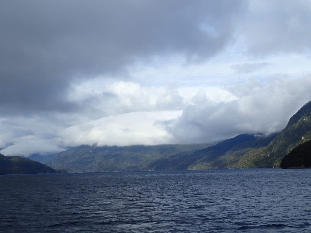
The track passes through lush Fiordland forest before reaching the headland and the lighthouse above the coast. Expect strong Southern Ocean exposure, broad coastal views, native forest birds, and possible seabird or seal sightings.
This is a short but genuinely remote historic route for experienced, self-sufficient trampers who have arranged transport to the Landing Shed. The lighthouse is the destination; the route is not a road-accessible day walk.
Wildlife
 1,181 sightingsKeaMost seen around 10 AMSighting map
 199 sightingsFiordland PenguinMost seen around 7 PMSighting map
 228 sightingsBlue DuckMost seen around 5 PMSighting map
 32 sightingsBottlenose DolphinMost seen around 5 PMSighting map
 247 sightingsNew Zealand Fur SealMost seen around 6 PMSighting map
 58 sightingsKākāMost seen around 6 PMSighting map
Sighting maps show where each species has been reported across Fiordland. Wildlife moves, so no sighting is guaranteed.
Keep exploring
Parkwolf’s Fiordland ranking
The audio tour guide for the drive, plus offline maps, trails, and wildlife heatmaps for when the signal drops.