Pros & cons
PROS
- Historic lighthouse above a wild Tasman Sea headland
- Panoramic views of the Milford Sound entrance and open ocean
- Nearby Anita Bay offers a surprisingly sheltered kayak landing
CONS
- No road access; typically reached by boat or scenic flight
- No facilities and very exposed to fierce coastal weather
Overview
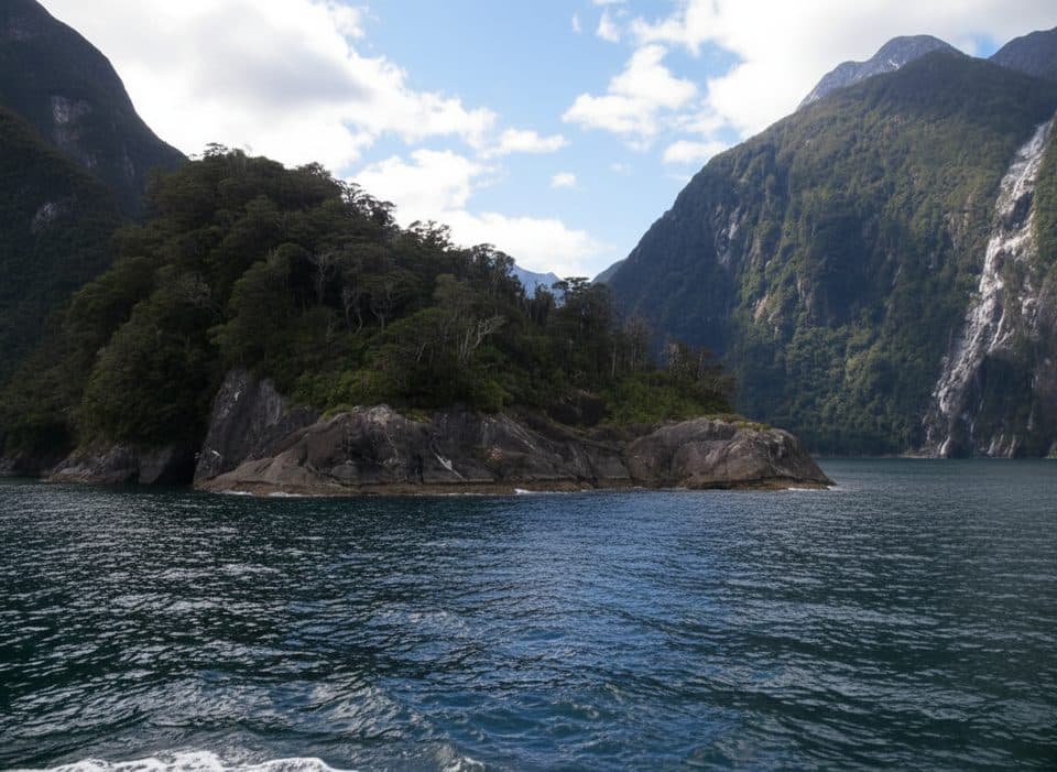
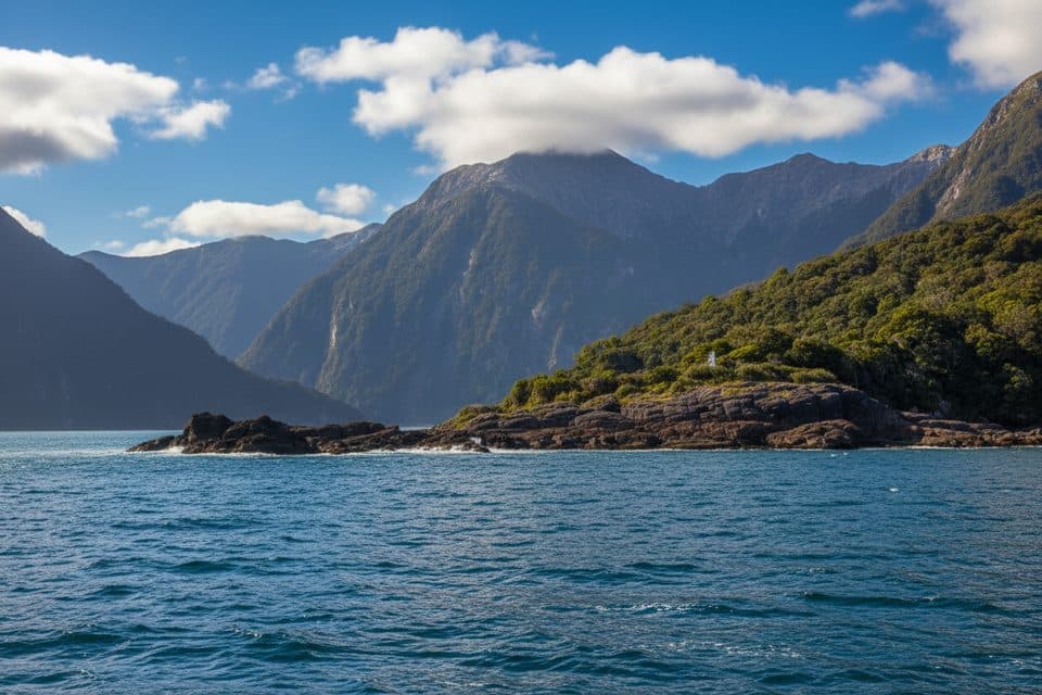
St Anne Point is the storm-battered headland at the mouth of Milford Sound, crowned by the St Anne’s Point Lighthouse. It’s raw, dramatic, and feels like the edge of the map—waves and wind meeting sheer Fiordland cliffs with the open Tasman Sea beyond.
Why go
This is about big scenery and maritime character. The lighthouse—an automated beacon today—sits over rugged, rocky shores with sweeping views up the fiord and out to the horizon. Many visitors experience the point from boats that venture to the heads to feel the Tasman swell, but it’s also a magnet for photographers and lighthouse lovers on clear days.
What you’ll see
- The lighthouse perched above wild, wave-battered rock.
- Panoramas of the Tasman Sea and the narrow entrance of Milford Sound.
- Seabirds working the cliffs and wind—bring binoculars.
Access and on-the-ground reality
There’s no road access. Reaching St Anne Point generally means arriving by water (or potentially by air, weather permitting). Just inside the point on the fiord side, Anita Bay offers a steeply shelving, stony beach that’s surprisingly sheltered for sea kayakers. Around the lighthouse area you may find informal footpaths and vantage spots, but there are no developed tracks or infrastructure.
Facilities (or lack thereof)
None. No toilets, no shelter, no water, no store—come fully self-sufficient. The setting is exposed; expect strong wind, rain, and fast changes in conditions.
Wildlife
Seabirds are commonly seen around the cliffs. The wider region hosts notable species, but consider anything beyond seabirds a bonus rather than a guarantee.
Best time to visit
Pick calm, clear weather windows—this place is all about visibility and manageable seas. Golden hours reward photographers with softer light on the lighthouse and headland. When the weather kicks up, it’s more about feeling the power of the Tasman than taking delicate photos.

Camping note
Anita Bay’s landing spot is useful for paddlers, but camping status is unconfirmed—check current regulations and permissions before planning an overnight.
Where it is
-44.5725, 167.7822Tips for St Anne Point
- 01Plan around weather windows; wind, swell, and visibility change fast.
- 02Bring full rain and wind gear plus food and water—there are no services.
- 03Sea kayakers: use Anita Bay just inside the point for a calmer landing.
- 04Binoculars make the most of seabird activity and distant views.
Amenities
Near St Anne Point
All places →All trails →
2.3 mi awayDale PointWhere Milford Sound squeezes into the Tasman Sea, wild and dramatic
4 mi awayFiordland Crested Penguin Viewing AreaSeasonal shoreline spot for elusive tawaki amid Milford Sound cliffsPullout · Parking
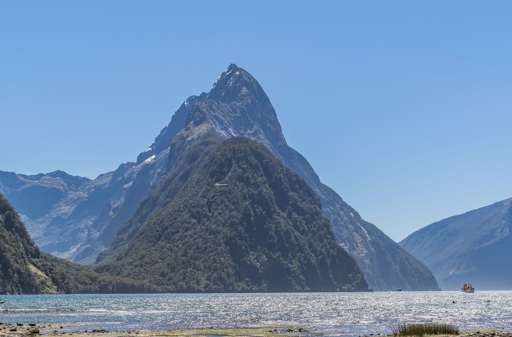
4.7 mi awayMitre PeakNew Zealand’s most iconic fiord peak rising straight out of the sea
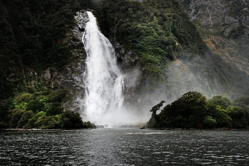
5.1 mi awayWaimānu / Stirling FallsYear-round 151 m fiord waterfall you can cruise into
9.5 mi awayBowen Falls WalkQuick boat-and-bush stroll to Milford Sound’s tallest waterfallEasy · 0.5 mi · 30 min
9.7 mi awayMilford Track: Sandfly Point to Giant Gate FallsClassic Milford rainforest stroll to a thundering 30 m waterfallEasy · 3.4 mi · 3 hr
9.7 mi awayGiant Gate Falls TrackEasy Milford Track walk to the swing-bridge view of Giant Gate FallsEasy · 6.8 mi · 3.5 hr
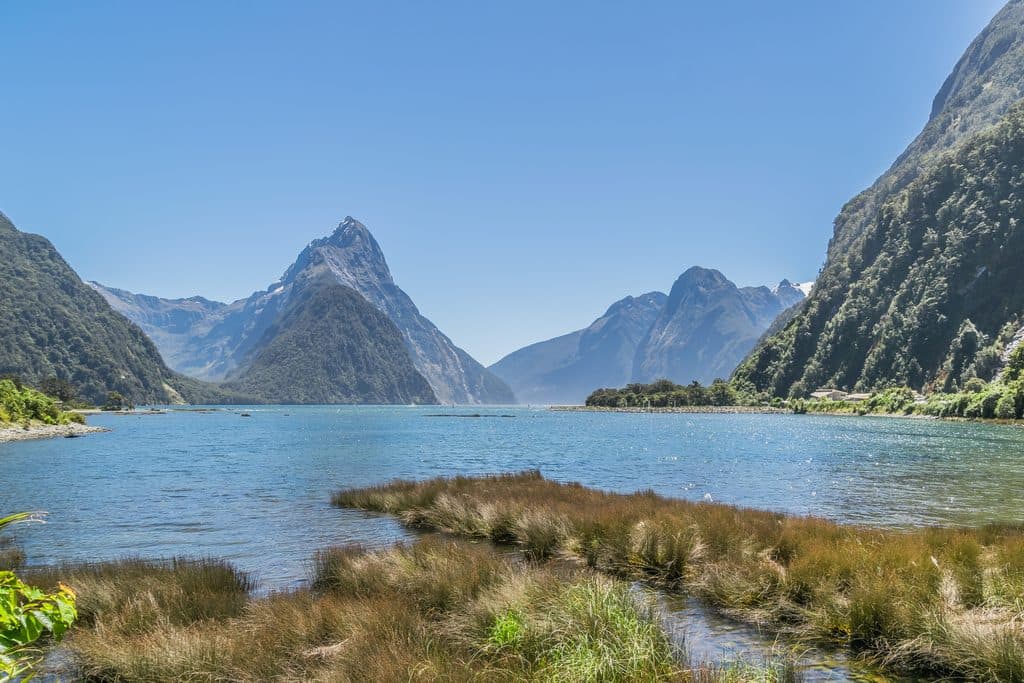
9.9 mi awayMilford Foreshore WalkIconic Mitre Peak views on a quick, flat foreshore loopEasy · 0.3 mi · 30 min