Overview
About Tūtoko Suspension Bridge
Why stop
- Historic bridge interpretation adds a road-building story to the drive.
Heads up
- Roadside parking space can be tight around larger vehicles.
Map
Where it is

The highest, rockiest slopes around here are a summer buffet for grizzly bears.
Fiordland Tour Guide
Your drive to Tūtoko Suspension Bridge, narrated.
Parkwolf is a GPS audio tour guide for Fiordland National Park. As you drive, it chimes in with what’s ahead: hidden gems, upcoming stops, history, geology, and wildlife, right through your car’s speakers.
See the Fiordland audio tourRecorded for this place
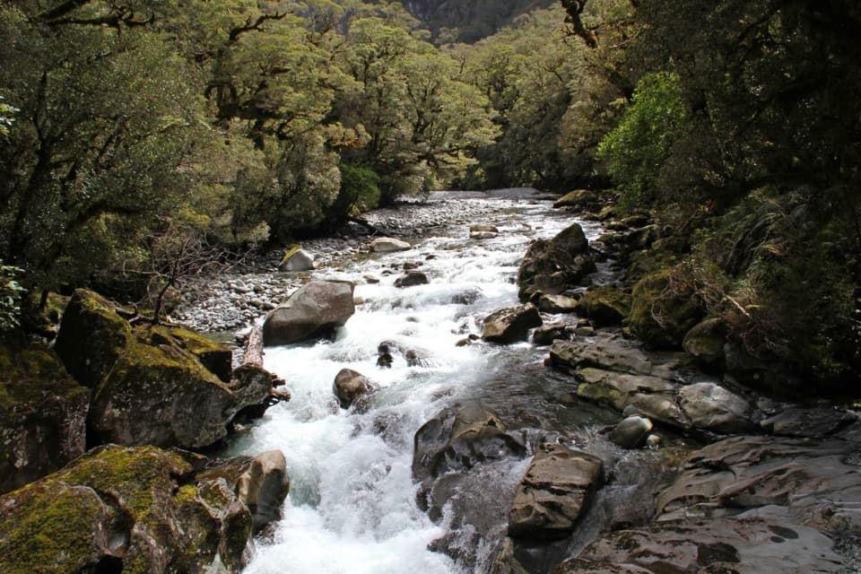
Tūtoko Suspension Bridge“Up ahead is Tūtoko Suspension Bridge, the historic footbridge beside the road crossing. This is a short stop: walk onto the pedestrian bridge for a look at the fast river and the boulders below.”
Plays as you drive up to Tūtoko Suspension Bridge in the Parkwolf Fiordland Tour Guide.
More stories near here in the app
- Penguins Under the Trees
- Pio Pio and Milford Sound Lodge
- Milford Waterfront and Foreshore
- Grave–Talbot Track
- 112 audio storiesacross Fiordland’s roads, triggered by GPS as you drive
- Wildlife heatmapsfor Kea, Fiordland Penguin, Blue Duck, and 13 more
- Works offlinemaps, 77 trails, 102 places, and audio download before you lose signal
- CarPlay readysimple controls built for the drive
“Fantastic app with many points of information… It’s great to just turn on while you’re driving and it gives you an audio tour of the national Park. We love it!!!!”


Guide
More about Tūtoko Suspension Bridge
A quick bridge stop on Milford RoadTūtoko Suspension Bridge is a historic pedestrian crossing over the Tūtoko River, beside the…
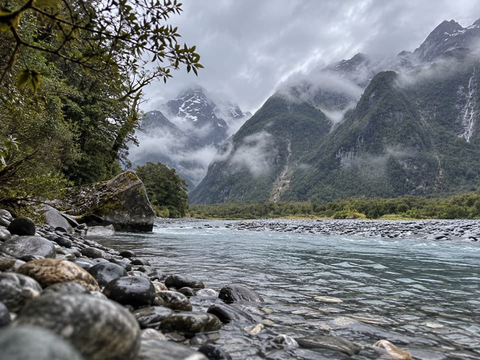
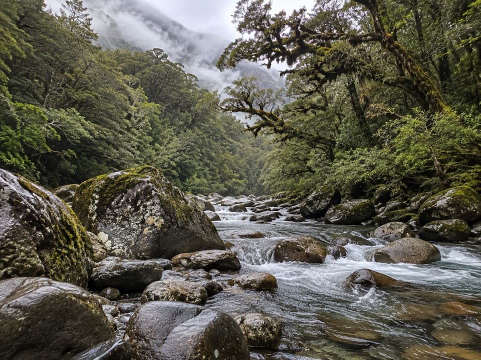
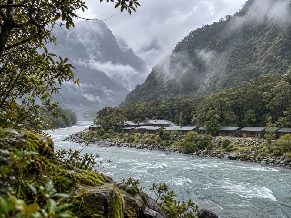
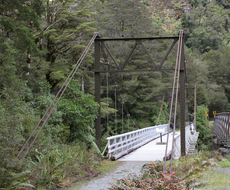
Tūtoko Suspension Bridge is a historic pedestrian crossing over the Tūtoko River, beside the single-lane bridge that carries Milford Road. It is a worthwhile short pause on the drive: cross the footbridge and look down at the fast water and boulders in a steep, forested valley.
River and mountain viewsThe view follows the Tūtoko River through its boulder-strewn channel, with Mt Tūtoko (2,745 m)…
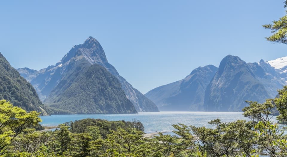
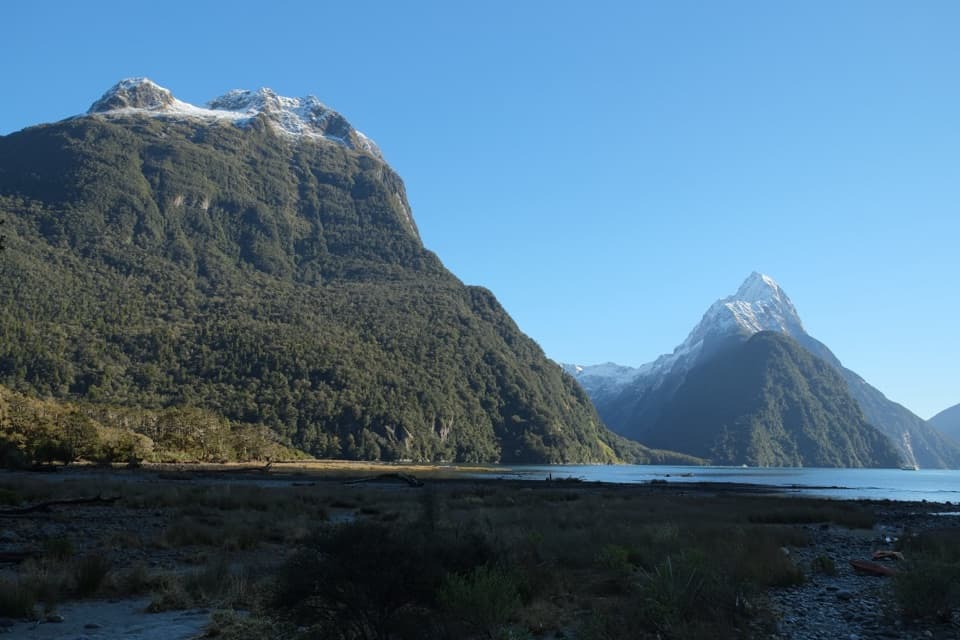
The view follows the Tūtoko River through its boulder-strewn channel, with Mt Tūtoko (2,745 m) rising above the valley. When the summit is clear, frame the moving water and rocks below the peak; cloud can hide the mountain.
A piece of Milford Road historyThe pedestrian bridge dates to the 1940s and is distinct from the neighboring road crossing.
The pedestrian bridge dates to the 1940s and is distinct from the neighboring road crossing. Interpretation at the stop connects it with the demanding construction of Milford Road; take a moment to read the panels if they are in place.
Keep the visit simpleThe Tūtoko River bridge carpark is on Milford Road, about 114 km from Te Anau and a few…
The Tūtoko River bridge carpark is on Milford Road, about 114 km from Te Anau and a few minutes' drive from Milford Sound. Parking is a small roadside stop and space can be tight around larger vehicles, so plan for a brief visit. This is also the start of the Tūtoko Valley Route, a separate 4 km return expert tramping route that takes about five hours; the bridge visit does not require taking that route.
Wildlife
Wildlife in Fiordland
 1,233 sightingsKeaMost seen around 10 AMSighting map
 214 sightingsFiordland PenguinMost seen around 7 PMSighting map
 233 sightingsBlue DuckMost seen around 5 PMSighting map
 32 sightingsBottlenose DolphinMost seen around 5 PMSighting map
 252 sightingsNew Zealand Fur SealMost seen around 6 PMSighting map
 69 sightingsKākāMost seen around 6 PMSighting map
Sighting maps show where each species has been reported across Fiordland. Wildlife moves, so no sighting is guaranteed.