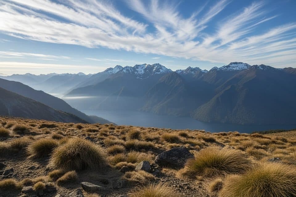
Parking
No road-access parking at the route endpoints. Arrange a boat operator from Lake Te Anau's Middle Fiord and transport across Lake Hankinson to reach the Lake Hankinson Hut start; George Sound is accessed by boat, float plane, or helicopter.
Fiordland National Park, SL
Expert, multi-day wilderness route from Lake Hankinson to George Sound
Overview
Map & elevation
Plan your hike

The highest, rockiest slopes around here are a summer buffet for grizzly bears.
Fiordland Tour Guide
Parkwolf is a GPS audio tour guide for Fiordland National Park. As you drive, it chimes in with what’s ahead: hidden gems, upcoming stops, history, geology, and wildlife, right through your car’s speakers.
See the Fiordland audio tour“Fantastic app with many points of information… It’s great to just turn on while you’re driving and it gives you an audio tour of the national Park. We love it!!!!”


Trail guide
This is the official George Sound Route: a very challenging, point-to-point wilderness traverse from Lake Hankinson Hut through Lake Thomson and Lake Katherine to George Sound on Fiordland's coast. The mapped hiking route is about 17.8 km (11.1 mi) one way, and DOC lists 3–4 days one way. It crosses remote terrain and a mountain range rising to about 900 m; the route is for experienced, well-equipped parties only.
The visitor route begins at Lake Hankinson Hut and ends at George Sound Hut. Reaching the start requires transport from Lake Te Anau's Middle Fiord and a boat or kayak crossing of Lake Hankinson; there is no road access. George Sound is reached by boat, float plane, or helicopter. The land route is point-to-point, not a circuit, so arrange transport for the chosen direction before setting out.
From Hankinson Hut the route crosses remote Fiordland terrain to Lake Thomson Hut, then climbs toward Henry Pass before dropping through Deadwood Lagoon and Katherine Creek to Lake Katherine and George Sound. Expect rough route-finding, bog, windfall, unbridged creek and river crossings, steep and slippery ground, and long days. Route times vary substantially with fitness, weather, river levels, and navigation.
Lake Hankinson Hut, Lake Thomson Hut, and George Sound Hut are standard DOC huts; carry a tent because DOC identifies suitable tent sites near Henry Pass and delays are possible. Water at huts is untreated and must be boiled. Check current track, weather, river, transport, and hut information with the Fiordland National Park Visitor Centre before departure.
Lake Hankinson is about 4.5 km long and can be affected by strong winds, with few landing beaches. Katherine Creek is unbridged and can be impassable after rain, and parts of the route are boggy or flood-prone. Carry food and emergency gear for delays; there is no mobile reception in much of this wilderness route. Dogs are not permitted.
Wildlife
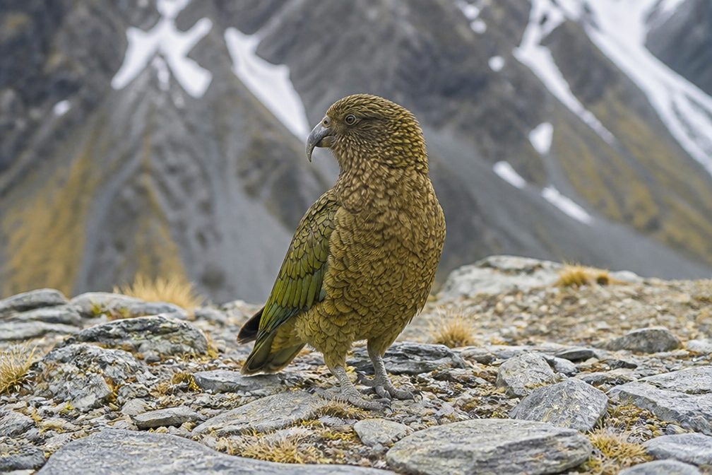 1,181 sightingsKeaMost seen around 10 AMSighting map
 199 sightingsFiordland PenguinMost seen around 7 PMSighting map
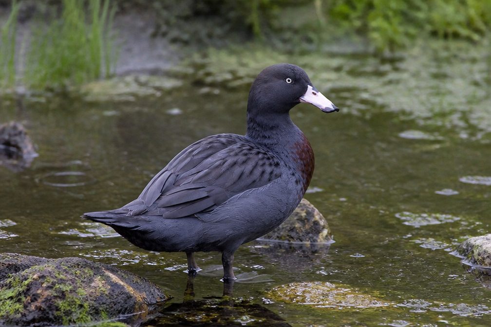 228 sightingsBlue DuckMost seen around 5 PMSighting map
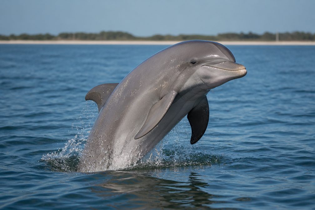 32 sightingsBottlenose DolphinMost seen around 5 PMSighting map
 247 sightingsNew Zealand Fur SealMost seen around 6 PMSighting map
 58 sightingsKākāMost seen around 6 PMSighting map
Sighting maps show where each species has been reported across Fiordland. Wildlife moves, so no sighting is guaranteed.
Keep exploring
Parkwolf’s Fiordland ranking

The audio tour guide for the drive, plus offline maps, trails, and wildlife heatmaps for when the signal drops.