Parking
Park at the Kepler Track Control Gates car park near Te Anau, reached via SH95 and Golf Course Road, then the short access road to the Control Gates.

#4 of 68 trails in Fiordland
Fiordland National Park, SL
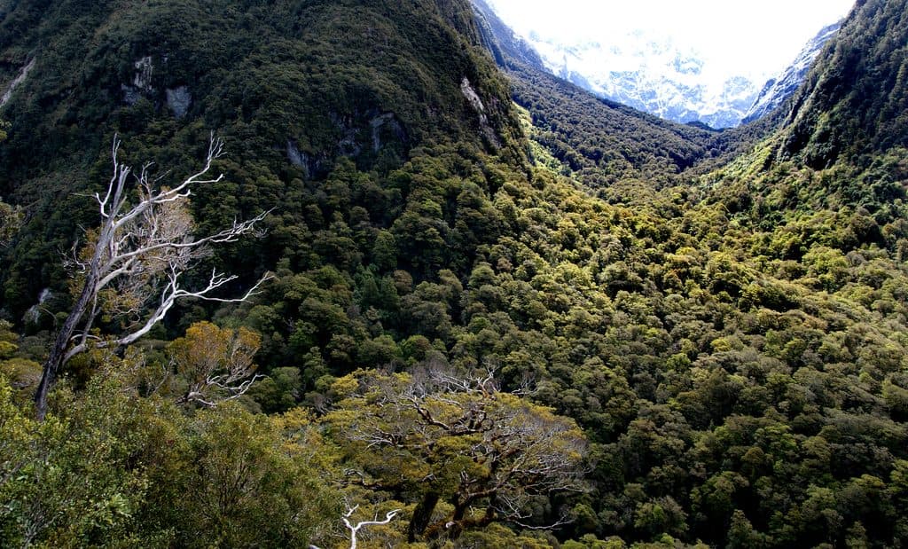
Climb through beech forest to Mt Luxmore's high alpine views.
Overview
Choose this for a demanding full-day out-and-back to the highest point on the Kepler Track. It runs from the Control Gates to Mt Luxmore and back: about 20.8 miles (33.4 km) total, with the map line stored once along the 10.4-mile (16.7 km) one-way corridor. Allow 8 to 10 hours and expect roughly 1,270 m (4,170 ft) of climbing.
 Parkwolf’s verdictIs this the hike for you?
Map & elevation
Plan your hike

The highest, rockiest slopes around here are a summer buffet for grizzly bears.
Fiordland Tour Guide
Parkwolf is a GPS audio tour guide for Fiordland National Park. As you drive, it chimes in with what’s ahead: hidden gems, upcoming stops, history, geology, and wildlife, right through your car’s speakers.
See the Fiordland audio tourMore stories near here in the app
“Fantastic app with many points of information… It’s great to just turn on while you’re driving and it gives you an audio tour of the national Park. We love it!!!!”


Trail guide
Start at the Kepler Track Control Gates and follow the lakeshore before climbing through beech forest to Luxmore Hut. The signed summit spur continues to Mt Luxmore at 1,472 m, the highest point on the Kepler Track. The limestone Luxmore Cave near the hut is a worthwhile detour if you bring a torch.
At the summit, include Lake Te Anau and the tussock ridge in your photos to give the landscape a sense of scale. Cloud and wind can change the view quickly.
The route begins gently, then becomes a long, sustained climb. Above the bushline, the track is exposed and the final summit spur is steeper, with uneven footing. This is not a casual lake walk, and pets are not allowed.
Alpine weather can change quickly. Snow and ice are possible outside Great Walks season, so treat the upper track as a serious mountain section rather than relying on the sunny conditions at the lake.
Start early with warm layers, waterproofs, enough food and water, and time to turn around if the tops deteriorate. Luxmore Hut is a meaningful shorter turnaround, but stopping there makes a different, shorter variant than the summit route described here.
A water taxi to Brod Bay changes the start point and distance, so do not use that option to judge the Control Gates mileage. Near the alpine sections, keep packs closed and unattended bags close: kea are clever at opening zips.
That commitment suits strong hikers with a full day, good weather and the gear for an exposed alpine section.
Wildlife
 1,181 sightingsKeaMost seen around 10 AMSighting map
 199 sightingsFiordland PenguinMost seen around 7 PMSighting map
 228 sightingsBlue DuckMost seen around 5 PMSighting map
 32 sightingsBottlenose DolphinMost seen around 5 PMSighting map
 247 sightingsNew Zealand Fur SealMost seen around 6 PMSighting map
 58 sightingsKākāMost seen around 6 PMSighting map
Sighting maps show where each species has been reported across Fiordland. Wildlife moves, so no sighting is guaranteed.
Keep exploring
 ChallengingKepler Track60 km · 1.3 days · At the trailheadA 60 km Great Walk loop through beech forest, lakeshores, and exposed alpine ridges.
 EasyDock Bay Track4.6 km · 1.3 hr · At the trailheadShort lakeside walk to Dock Bay, forest, and a swim spot.
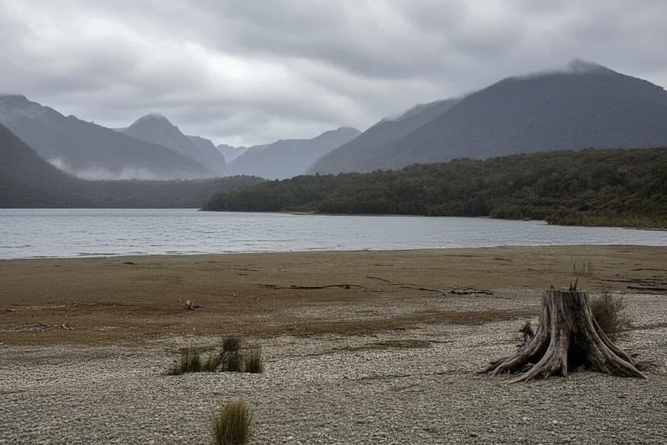 EasyShallow Bay Track12.1 km · 3.5 hr · 5.9 km awayBeech forest stroll to Lake Manapouri’s quiet, swimmable Shallow Bay.
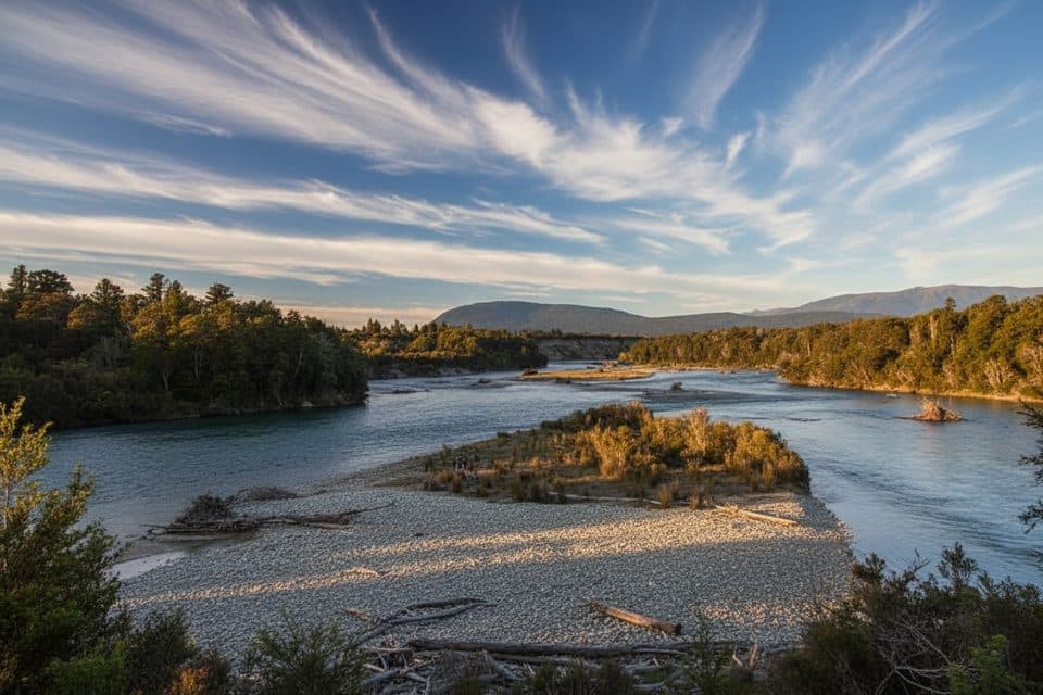 EasyKepler Track: Rainbow Reach to Shallow Bay12.1 km · 3.5 hr · 5.9 km awayA gentle Kepler Track sampler from Rainbow Reach to Shallow Bay.
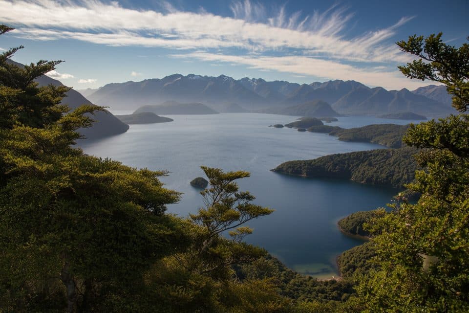 ModerateHope Arm Track17.2 km · 5 hr · 15.5 km awayQuiet beech-forest walk to Hope Arm Hut and a lakeside beach on Lake Manapouri
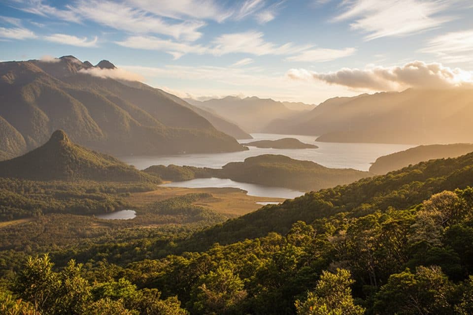 ChallengingManapouri Circle Track9 km · 3.8 hr · 15.5 km awayA demanding Fiordland loop to a 300 m lake viewpoint, reached by water taxi
 Sight · 2.2 km awayTe Anau Bird SanctuaryEasy lakeside stop to see rare takahē and kākā up close
 Visitor center · 3.1 km awayFiordland National Park DOC Visitor CentreDOC’s lakeside hub for trail intel, bookings, and exhibits
 Visitor center · 3.3 km awayFiordland i-SITELakefront hub for bookings, track advice, and local intel
 Gas station · 3.4 km awayFiordland Electric Vehicle Charging Station (Te Anau)Te Anau’s essential fast charger before the Milford Sound drive
 Sight · 3.8 km awayTe AnauLakeside gateway town for tracks, cruises, and Fiordland adventures
 Campground · 4.5 km awayBrod BayLakeside Kepler Track campsite with a beach and hush-quiet vibes
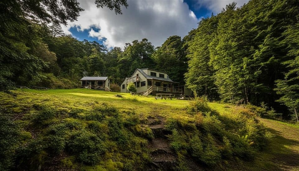 Lodging · 7.5 km awayMoturau HutLakeside Great Walk hut with sunsets, beach, and gas cookers
 Sight · 8.2 km awayLuxmore CavesWild limestone cave detour just minutes from Luxmore Hut
Parkwolf’s Fiordland ranking
The audio tour guide for the drive, plus offline maps, trails, and wildlife heatmaps for when the signal drops.