#5 of 68 trails in Fiordland

Fiordland National Park, SL

Kepler Track to Mount Luxmore

A demanding Kepler out-and-back from Control Gates to the 1,472 m Mount Luxmore summit

Length
37km
Time
9hr
Elev. change
1,237m
Difficulty
Challenging
  • No dogs
  • High point 1,447 m
Parkwolf audio tour126 stories across Fiordland’s roads

Overview

About Kepler Track to Mount Luxmore

Why go

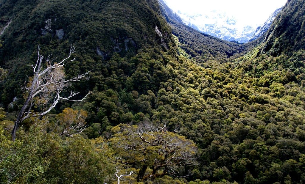
  • Full Kepler approach showcases Lake Te Anau, beech forest, limestone bluffs, and alpine views
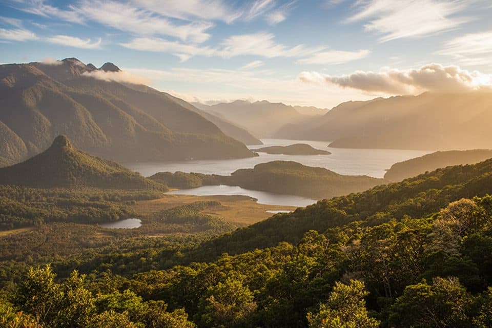
  • The 1,472 m summit delivers broad views over Te Anau and Fiordland
  • A water-taxi-to-Brod-Bay option can shorten the flat approach

Heads up

  • The 37 km return and more than 1,200 m of climbing make this a very long day
  • Alpine exposure brings fast-changing wind, rain, snow, and cloud
This demanding Kepler Track out-and-back climbs from the Control Gates through lakeside beech forest, past Brod Bay and Luxmore Hut, and into the alpine tops of Fiordland National Park. The reward is a high, open viewpoint over Lake Te Anau, the Te Anau basin, and the surrounding Fiordland mountains from Ō-te-horua-a-Te-Puhituia / Mount Luxmore.
Parkwolf’s verdictWhy this hike

Map & elevation

The route

Loading the Fiordland map
Full map
Elevation210–1,447 m
TrailheadKepler Track Carpark / Control Gates-45.44229, 167.68889
Keep this map with you offline in the Parkwolf app

Plan your hike

Before you go

Parking

Kepler Track Carpark / Control Gates at the southern end of Lake Te Anau, about 5 km from Te Anau. The stored route begins at the signed track start approximately 250 m from the carpark information area. A water taxi can drop hikers at Brod Bay for a shorter variant; arrange transport both ways.

Best time to go

The Great Walks season generally offers the most manageable conditions and the best access to facilities. Outside that season, attempt the alpine section only with suitable experience, equipment, daylight, and a current weather and track-safety check.

Safety

Long, strenuous route with a sustained climb and exposed alpine travel; weather changes quickly. Snow and ice, poor visibility, and avalanche hazard are possible outside the Great Walks season. Fill water at Luxmore Hut; tap water is untreated, and there are no reliable sources across the alpine section. No dogs or bikes.

A park ranger sits on a dash-mounted phone, talking, as Parkwolf’s Tour Guide plays “Army Cutworm Moths: A Grizzly Bear Buffet” on Grand Loop Road below Dunraven Pass in Yellowstone
Parkwolf Tour GuideThe highest, rockiest slopes around here are a summer buffet for grizzly bears.

Fiordland Tour Guide

Your drive to Kepler Track to Mount Luxmore, narrated.

Parkwolf is a GPS audio tour guide for Fiordland National Park. As you drive, it chimes in with what’s ahead: hidden gems, upcoming stops, history, geology, and wildlife, right through your car’s speakers.

See the Fiordland audio tour

More stories near here in the app

  • Te Anau: The Gateway to Fiordland
  • Te Anau: Fiordland's Adventure Basecamp
  • Te Anau's Living Galaxy
  • Queens Reach: The River Anduin
  • 126 audio storiesacross Fiordland’s roads, triggered by GPS as you drive
  • Wildlife heatmapsfor Kea, Fiordland Penguin, Blue Duck, and 13 more
  • Works offlinemaps, 68 trails, 124 places, and audio download before you lose signal
  • CarPlay readysimple controls built for the drive
★★★★★
“Fantastic app with many points of information… It’s great to just turn on while you’re driving and it gives you an audio tour of the national Park. We love it!!!!”
JMJamesApp Store review
Download Parkwolf on the App StoreGet Parkwolf on Google Play

4.7 from 8,600+ ratings

Trail guide

Hiking Kepler Track to Mount Luxmore

Route and statsThe primary route is approximately 37 km (23 miles) return from the Kepler Track Carpark /…

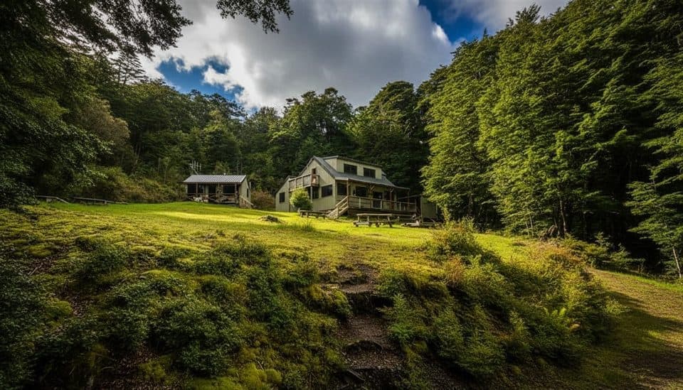
The primary route is approximately 37 km (23 miles) return from the Kepler Track Carpark / Control Gates to the 1,472 m Mount Luxmore summit. The stored line represents the physical corridor once from the carpark to the summit; the visitor distance includes the return on the same track. It first follows the lake shore to Brod Bay, then climbs steeply through mountain and silver beech forest and below limestone bluffs to Luxmore Hut (1,085 m). From the hut area, continue through the alpine section and follow the signed summit spur to Mount Luxmore.

Expect about 8–10 hours for the full return, with more than 1,200 m of climbing. A water taxi to Brod Bay removes the mostly flat lakeshore approach and can make a shorter day, but it requires arranging transport to and from the bay.


What you’ll seeThe route moves from Lake Te Anau shoreline and ferny beech forest through increasingly open…

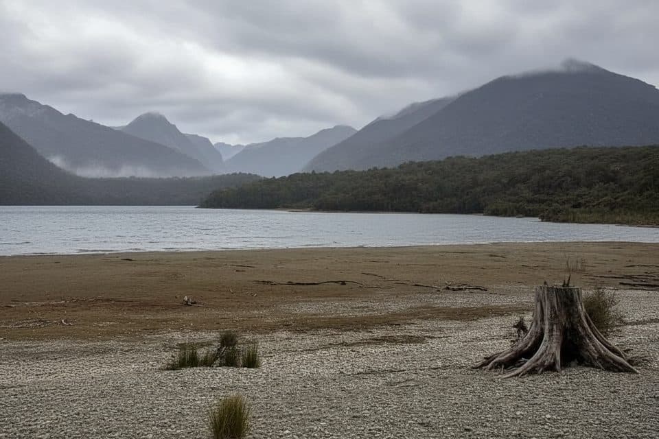
The route moves from Lake Te Anau shoreline and ferny beech forest through increasingly open terrain, with limestone features, tussock-covered ridges, alpine tarns, and broad views across the lake and Fiordland. Luxmore Hut is a useful rest and turnaround landmark; the summit spur leads to the highest point on the Kepler Track.

Difficulty and conditionsThis is a long, strenuous day with a sustained climb and a demanding descent.

This is a long, strenuous day with a sustained climb and a demanding descent. The alpine section is exposed, and strong wind, rain, cloud, snow, and ice can arrive quickly. The route is much more committing outside the Great Walks season and requires alpine navigation judgment in poor visibility. Trekking poles can help on the steep descent.

Logistics and accessPark at the Kepler Track Carpark / Control Gates at the southern end of Lake Te Anau, about 5…

Park at the Kepler Track Carpark / Control Gates at the southern end of Lake Te Anau, about 5 km from Te Anau. The signed route begins a short distance beyond the carpark; the stored trailhead point is the carpark information area, approximately 250 m from the first mapped route vertex. A water taxi can drop hikers at Brod Bay for a shorter variant, but the primary route and distance here are from Control Gates. Luxmore Hut requires a booking for overnight stays, has no food service, and its tap water is untreated—boil or treat it before drinking. Dogs and bikes are not permitted on this track, and the route is not wheelchair accessible.

Wildlife

Wildlife in Fiordland

All Fiordland wildlife maps

Sighting maps show where each species has been reported across Fiordland. Wildlife moves, so no sighting is guaranteed.

Keep exploring

Near Kepler Track to Mount Luxmore

See it all on the map

Trails that start nearby

Places near the trailhead

Parkwolf’s Fiordland ranking

Top-rated trails in Fiordland

All 68 trails
  1. 1Milford TrackChallenging · 53.4 km
  2. 2Routeburn TrackChallenging · 33 km
  3. 3Kepler TrackChallenging · 60 km
  4. 4Luxmore Summit TrackChallenging · 33.5 km
  5. 6Sutherland Falls TrackModerate · 4.7 km
  6. 7Lake Marian TrackChallenging · 6.3 km

Take Parkwolf to Fiordland.

The audio tour guide for the drive, plus offline maps, trails, and wildlife heatmaps for when the signal drops.

4.7 from 8,600+ ratings

Download Parkwolf on the App StoreGet Parkwolf on Google Play