Parking
There is no road parking or drive-up trailhead. Start at Waitutu Hut’s swingbridge; reaching Waitutu Hut is a separate remote trip by the South Coast route or arranged boat or air transport.
Fiordland National Park, SL
A remote trapline follows the Waitutu River to a six-bunk hut.
Overview
Map & elevation
Plan your hike

The highest, rockiest slopes around here are a summer buffet for grizzly bears.
Fiordland Tour Guide
Parkwolf is a GPS audio tour guide for Fiordland National Park. As you drive, it chimes in with what’s ahead: hidden gems, upcoming stops, history, geology, and wildlife, right through your car’s speakers.
See the Fiordland audio tour“Fantastic app with many points of information… It’s great to just turn on while you’re driving and it gives you an audio tour of the national Park. We love it!!!!”


Trail guide
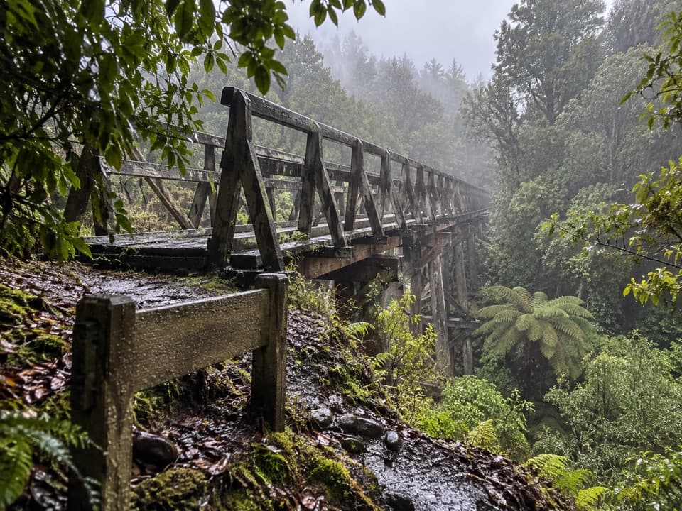
This is a remote out-and-back from Waitutu Hut to Slaughterburn Hut. The mapped corridor is about 7.7 km (4.8 mi) each way, so the full return is about 15.4 km (9.6 mi). The route starts by crossing the Waitutu swingbridge, follows the river’s east bank, crosses a three-wire walkwire near Slaughter Burn, then climbs the burn’s south bank to the hut. Walking estimates range from about 3 hours to 4–5 hours one way; allow roughly 6–10 hours for the return, with 8 hours a reasonable planning estimate.
DOC says the hut has no DOC track access and visitors must plan and navigate themselves. Available route descriptions characterize the Waitutu approach as an informal trapline, not a public marked track; yellow triangles are trapline markers. Carry and know how to use a topo map, compass and GPS, and confirm access with DOC before setting out. The route includes a three-wire river crossing, and a stream descent can be difficult to read; water level affects whether crossings are safe.
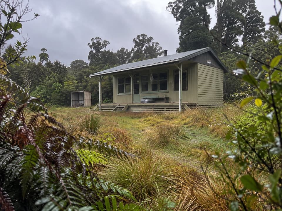
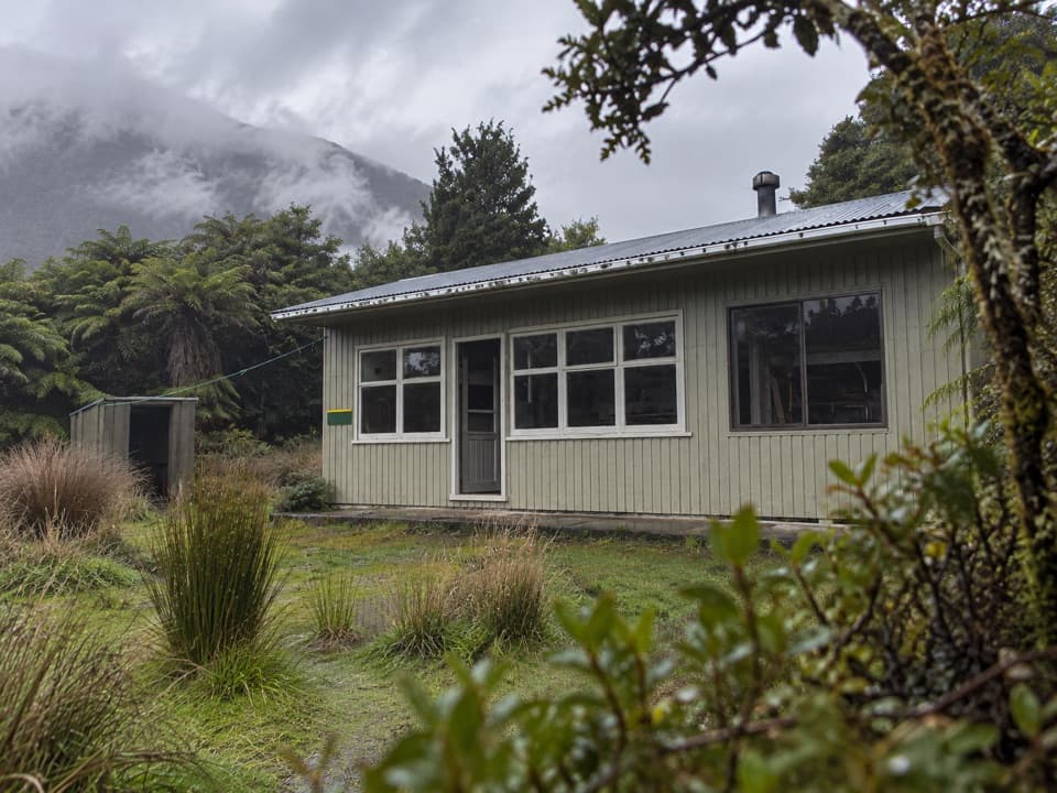
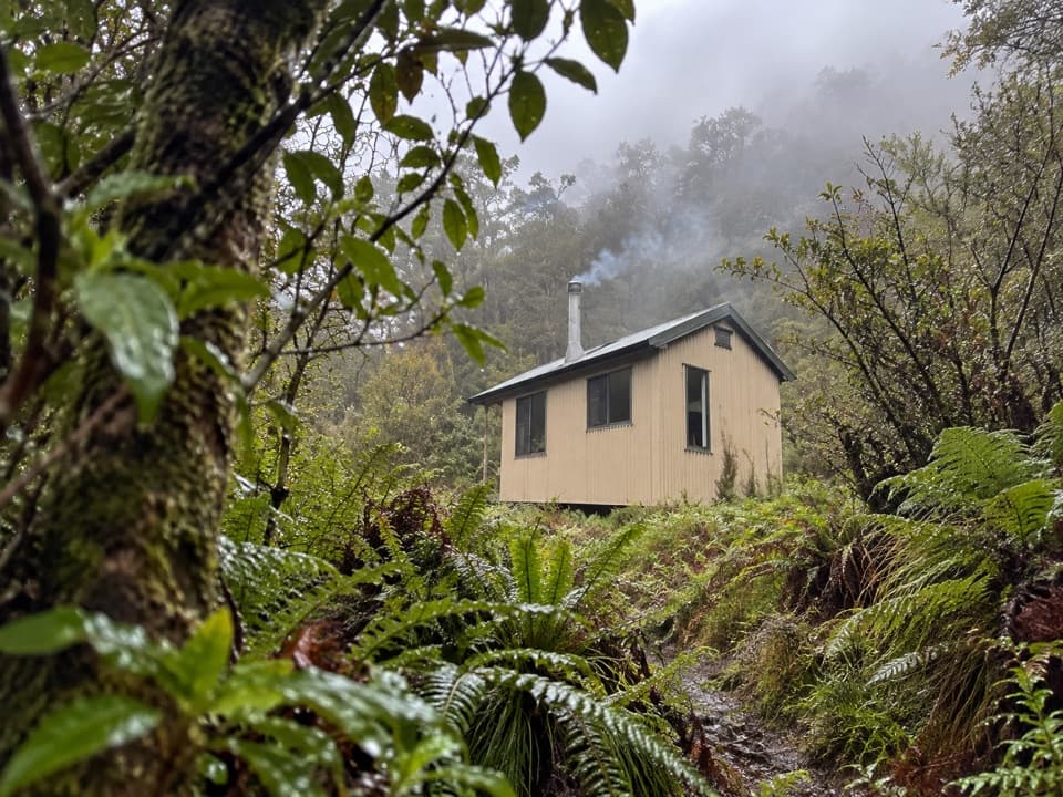
Walkers describe open forest, mature trees and crown fern along the river terraces. Slaughterburn Hut is a basic six-bunk backcountry hut with mattresses, a burner, toilet, water tank, table and seating. It is free and first come, with no booking. The tank’s treatment status is not established, so bring a way to treat water. This route ends at the hut; the rough continuation toward Lake Poteriteri is a separate, much longer route.
Waitutu Hut is not a drive-up trailhead. Reach it separately by the South Coast route or arranged boat or air transport; that remote approach is not included in this trail’s distance. Dogs are not allowed in Fiordland National Park except by special permit.
Wildlife
 1,233 sightingsKeaMost seen around 10 AMSighting map
 214 sightingsFiordland PenguinMost seen around 7 PMSighting map
 233 sightingsBlue DuckMost seen around 5 PMSighting map
 32 sightingsBottlenose DolphinMost seen around 5 PMSighting map
 252 sightingsNew Zealand Fur SealMost seen around 6 PMSighting map
 69 sightingsKākāMost seen around 6 PMSighting map
Sighting maps show where each species has been reported across Fiordland. Wildlife moves, so no sighting is guaranteed.
Keep exploring
Parkwolf’s Fiordland ranking

The audio tour guide for the drive, plus offline maps, trails, and wildlife heatmaps for when the signal drops.