
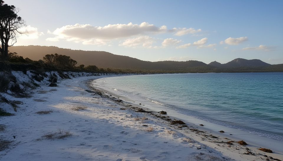
Place · 3.9 mi away
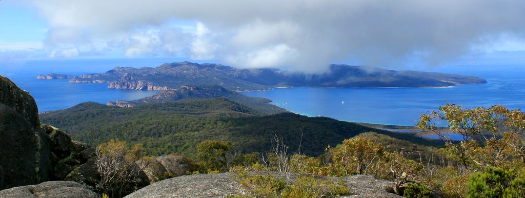
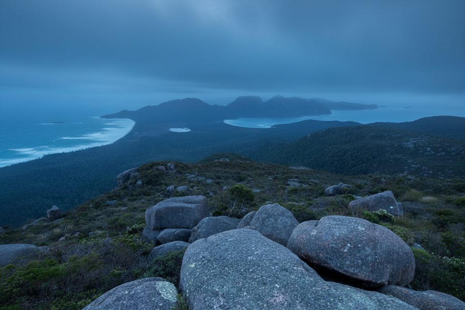
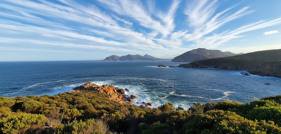
A rugged, uninhabited island sitting 1.6 km off the tip of the peninsula, Schouten feels wilder than anything on the mainland. It’s classic east-coast Tasmania: pink granite coves on one side, dark dolerite cliffs on the other, with Mount Storey (~400 m) anchoring the skyline. People come for the solitude, boat-in bush camping, and the chance to see seabirds and seals without the crowds.
There’s no public ferry. You reach Schouten by private boat, sea kayak, or local charter/water taxi from Coles Bay—about 30 minutes in suitable conditions. Landings are entirely weather‑dependent. Popular spots are Crocketts Bay (good for camping) and the Moreys Bay area near historic Cook’s Hut. Build flexibility into your plan and be ready to wave off if wind or swell is wrong.
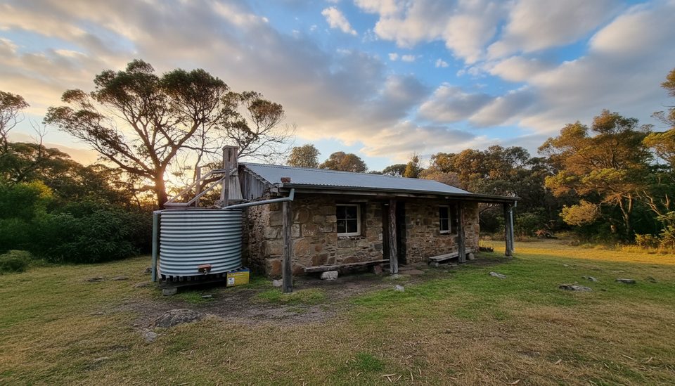
Expect basic, self‑reliant camping. Bush camping is allowed at Crocketts Bay; there are huts near a caretaker’s residence at Moreys Bay, and Cook’s Hut now serves as a tiny info space and seasonal base for campground hosts. There are a few composting drop toilets but don’t rely on them being close to your camp. Bring all drinking water and pack out all rubbish. Freycinet is a fuel‑stove‑only park—no campfires—and there are no shops or bookings (first‑come, first‑served).
Schouten is excellent for seabird life: little penguins and short‑tailed shearwaters nest here, and Australian fur seals haul out along parts of the coast. You might also spot Tasmanian native-hens and several endemic skinks. Stay on firm sand and established pads—penguin and shearwater burrows collapse easily.
A north–south fault splits the island: granite dominates the east with rounded headlands and boulder‑strewn coves; the west rises in Jurassic dolerite cliffs over older sediments. Vegetation tracks the rock—eucalypt forest on the richer western soils, with coastal heath, scrub and sedgeland elsewhere. It’s a great place to see Tasmania’s granite–dolerite contrast in one compact package.
This is Country of the Oyster Bay nation; records note Aboriginal presence across Freycinet and Schouten. Later came sealing and whaling in the 1830s–40s, followed by coal and tin mining and pastoral leases—remnants still dot the island. Schouten was added to the national park in the 1970s, cementing its conservation focus today.
Late spring through early autumn brings longer daylight and, typically, calmer seas—still, conditions change fast, so watch the forecasts and plan buffers. Summer volunteer wardens are often on the island and can share up‑to‑date info. Weekdays can feel even more remote, and dawn or late afternoon light is lovely on the granite.
Place · 3.9 mi away
Place · 6.2 mi away
Place · 6.4 mi away
Place · 7.5 mi away
Challenging · 11.7 mi away
Moderate · 12.9 mi away
Moderate · 12.9 mi away
Easy · 13.8 mi away

Parkwolf Tour Guide
