Mount Freycinet in Freycinet National Park

Sight · Freycinet National Park

Mount Freycinet

A steep summit climb opens onto the whole peninsula.

Photo: Wikimedia Commons
Type
Sight
Nearest trail
0.7 km
  • Scenic viewpoint
Parkwolf audio tour24 stories across Freycinet’s roads

Overview

About Mount Freycinet

Why stop

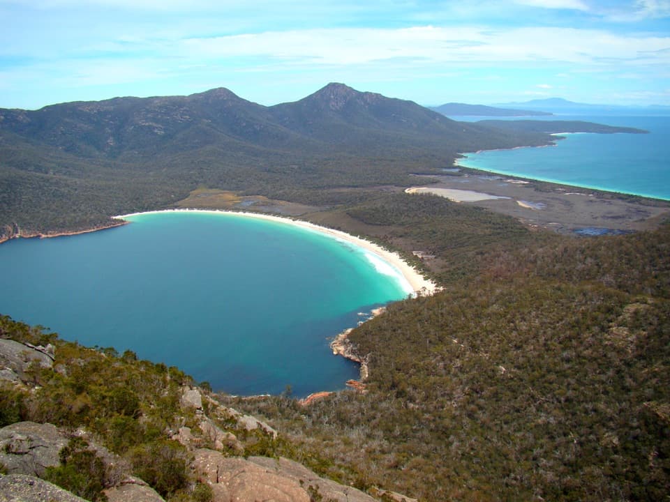
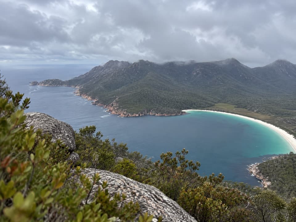
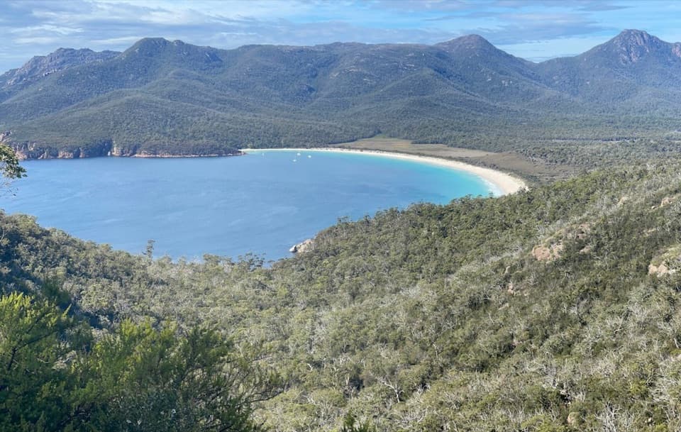
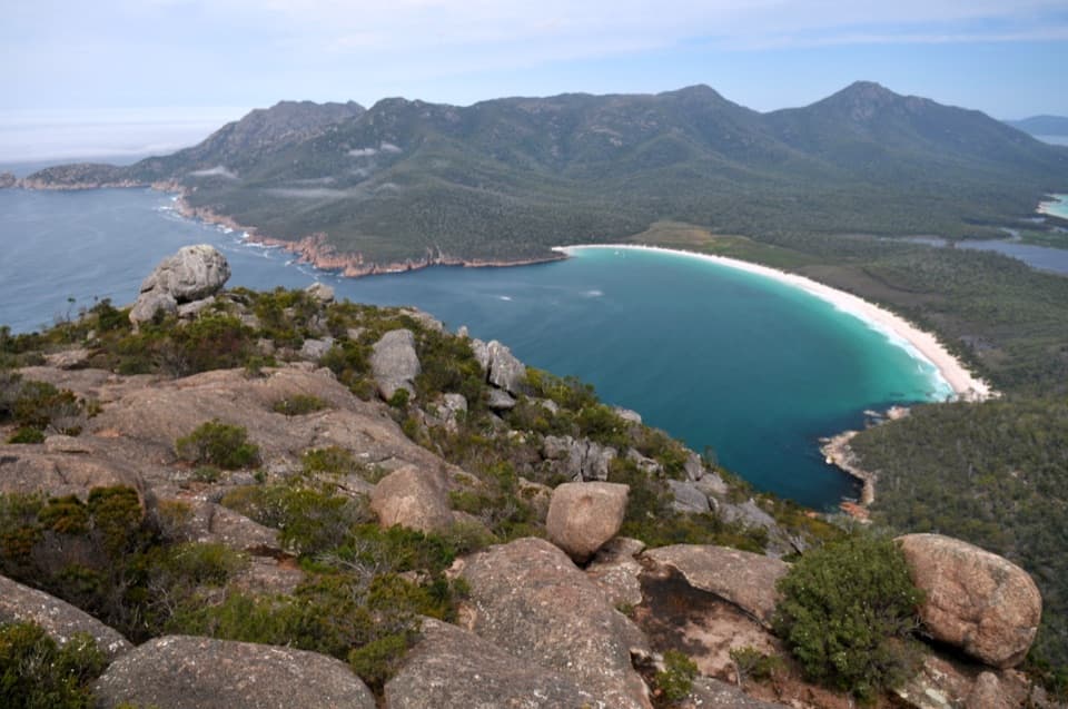
  • Wide views across Wineglass Bay, the Hazards and the southern coast

Heads up

  • A steep detour from a remote overnight circuit

Map

Where it is

Loading the Freycinet map
Full map
SightMount Freycinet-42.21659, 148.30376
Keep this map with you offline in the Parkwolf app

Plan your stop

Before you go

2 active Freycinet alerts

  • CautionShark sighting at Issacs Point, Friendly BeachesSwimmers should avoid Issacs Point at Friendly Beaches after a 2–3 m shark was reported cruising very close to shore. Check current Tasmania Police community alerts for updates.Official details
  • CautionSeasonal campfire ban starts 26 OctoberDo not light campfires on reserved land in Freycinet National Park once the seasonal ban takes effect at 2:00 am on Monday 26 October 2026.Official details
Freycinet alerts
A park ranger sits on a dash-mounted phone, talking, as Parkwolf’s Tour Guide plays “Army Cutworm Moths: A Grizzly Bear Buffet” on Grand Loop Road below Dunraven Pass in Yellowstone
Parkwolf Tour GuideThe highest, rockiest slopes around here are a summer buffet for grizzly bears.

Freycinet Tour Guide

Your drive to Mount Freycinet, narrated.

Parkwolf is a GPS audio tour guide for Freycinet National Park. As you drive, it chimes in with what’s ahead: hidden gems, upcoming stops, history, geology, and wildlife, right through your car’s speakers.

More stories near here in the app

  • Wineglass Bay Walking Tracks
  • Honeymoon Bay
  • Freycinet Lodge Dining
  • Sleepy Bay and Little Gravelly Beach
  • 24 audio storiesacross Freycinet’s roads, triggered by GPS as you drive
  • Wildlife heatmapsfor Wombat, Echidna, Red-necked Wallaby, and 13 more
  • Works offlinemaps, 21 trails, 29 places, and audio download before you lose signal
  • CarPlay readysimple controls built for the drive
★★★★★
“Fantastic app with many points of information… It’s great to just turn on while you’re driving and it gives you an audio tour of the national Park. We love it!!!!”
JMJamesApp Store review
Download Parkwolf on the App StoreGet Parkwolf on Google Play

4.7 from 8,600+ ratings

Guide

More about Mount Freycinet

The summit detourMount Freycinet is the highest point on the Freycinet Peninsula, a rocky summit on its…

Mount Freycinet is the highest point on the Freycinet Peninsula, a rocky summit on its mountainous central spine. It’s reached by a steep side trip from the Freycinet Peninsula Circuit, not by a separate road or short walk from the main car park. Save it for a planned overnight walk; this is a serious add-on after you’ve already reached the saddle between Mount Freycinet and Mount Graham.

Allow enough timeThe summit spur is about 1.

The summit spur is about 1.5 km return from the saddle and steep, with sections described as occasionally difficult. Allow around two hours for the climb. It comes after you’ve already reached the saddle on a long, strenuous circuit, so don’t treat it as a spontaneous extra. Water is limited along the route and summer creeks can dry; carry what you need and check water availability before setting out. For the full circuit, follow the park’s recommended anti-clockwise direction to help limit the spread of root rot.

Take in the whole peninsulaOn a clear day, the view sweeps across much of the peninsula: look for Wineglass Bay, The…

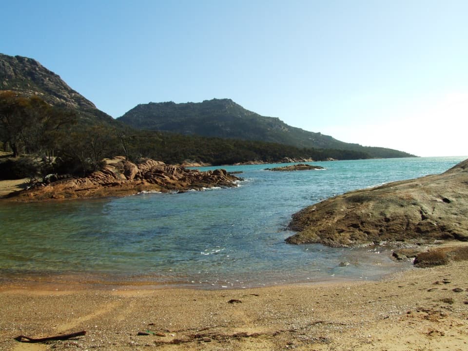
On a clear day, the view sweeps across much of the peninsula: look for Wineglass Bay, The Hazards, Mount Graham and the rugged southern coast. The outlook can reach Schouten Island too. Give the horizon room in your photo so the bays and coastline read as one long sweep instead of a picture of just one beach.

A spine of graniteThe peninsula’s landscape comes from two eroded blocks of granite, the Hazards and the main…

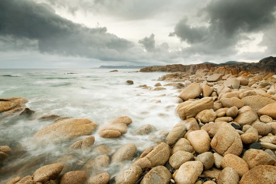
The peninsula’s landscape comes from two eroded blocks of granite, the Hazards and the main peninsula, shaped over more than 400 million years. Mount Freycinet sits on that central spine, among the bare rock and exposed ridgelines that make the summit feel so open.

The name on the mapFrench captain Nicolas Baudin surveyed the peninsula in 1802, and it was named for his…

French captain Nicolas Baudin surveyed the peninsula in 1802, and it was named for his lieutenant Louis-Claude de Saulces de Freycinet. Mount Freycinet carries that same name; the documented story belongs to the wider peninsula rather than to a separate naming event for the summit.

Wildlife

Wildlife in Freycinet

All Freycinet wildlife maps

Sighting maps show where each species has been reported across Freycinet. Wildlife moves, so no sighting is guaranteed.

Keep exploring

Near Mount Freycinet

See it all on the map

Trails nearby

More stops nearby

Parkwolf’s Freycinet ranking

Top sights in Freycinet

All 29 places
  1. 1Wineglass Bay LookoutSight
  2. 2Wineglass BayBeach
  3. 3Cape Tourville Lighthouse and LookoutSight
  4. 4Honeymoon BayBeach
  5. 5Friendly BeachesBeach
  6. 6Mount AmosSight

Take Parkwolf to Freycinet.

The audio tour guide for the drive, plus offline maps, trails, and wildlife heatmaps for when the signal drops.

4.7 from 8,600+ ratings

Download Parkwolf on the App StoreGet Parkwolf on Google Play