Pros & cons
PROS
- Serene west-side bay on the Freycinet Peninsula Circuit
- Designated walkers’ campsite with sheltered sites and a composting toilet
CONS
- Rainwater tank is unreliable—carry and treat your own water
- No picnic tables or BBQs; facilities are very basic
Overview
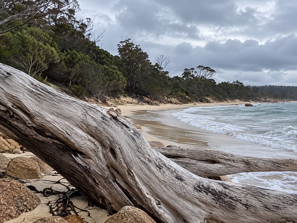
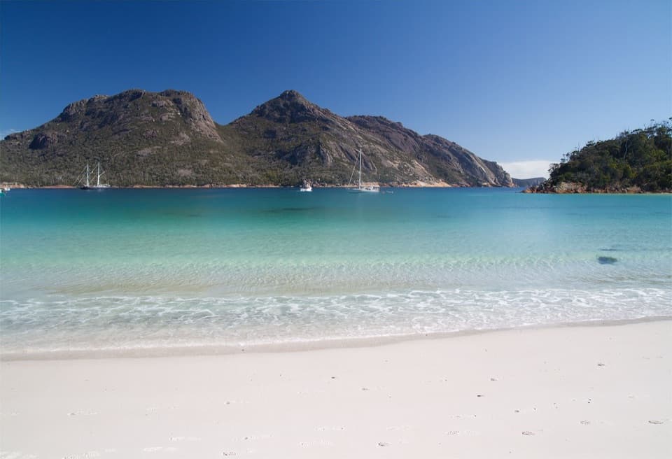
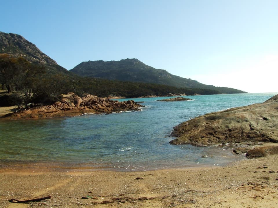
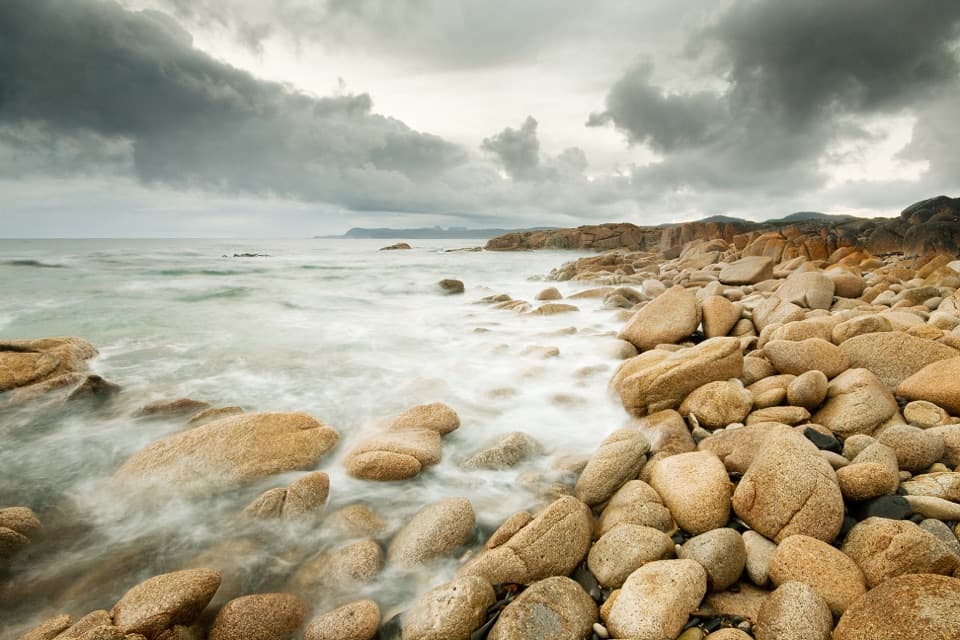
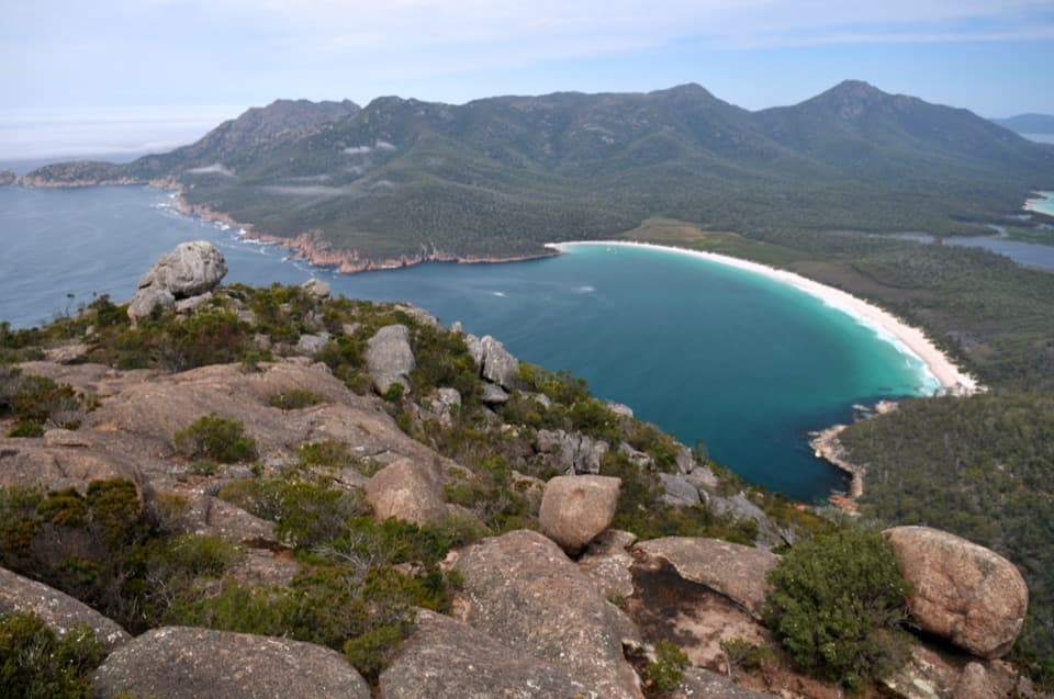
Cooks Beach is a quiet, white-sand sweep on the west side of the peninsula, best known as a walkers’ campsite on the Freycinet Peninsula Circuit (about 27 km, 2–3 days, Grade 3). Expect classic Freycinet scenery—turquoise water and pink‑granite backdrops—without the day‑use crowds that cluster around the car-accessible beaches.
Getting There & The Walk
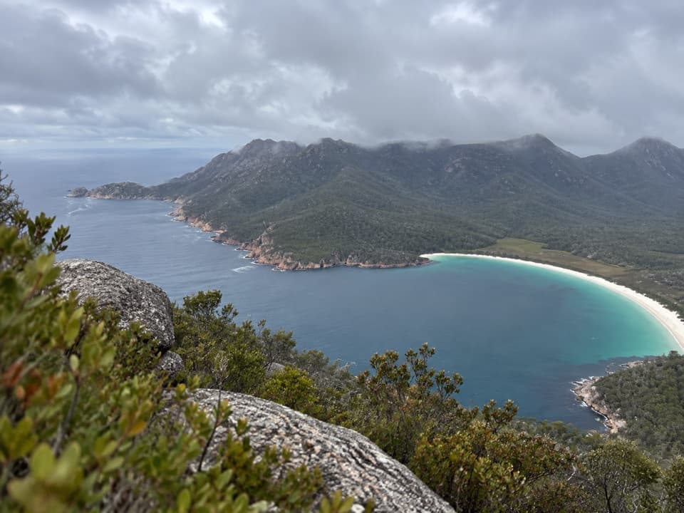
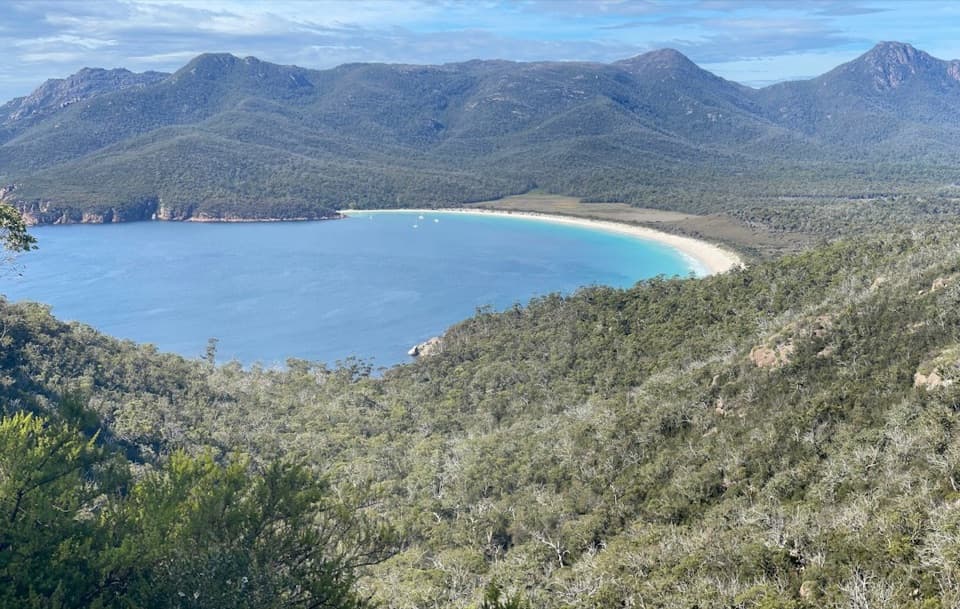
You’ll access the park via the Tasman Highway (A3) and Coles Bay Road (C302), then reach Cooks Beach on foot as part of the multi‑day circuit that typically links Hazards Beach and Cooks Beach before crossing Mount Graham/Mount Freycinet toward Wineglass Bay. A valid Parks pass is required.
Camping & Facilities
The walk‑in campsite (often called Cooks Corner) sits behind the dunes with sheltered tent pads. There’s a composting toilet and a rainwater tank, but the tank is unreliable—plan to carry what you need and treat/boil any collected water. There are no picnic tables or BBQs; bring a fuel stove. Historic Cooks Hut nearby is for emergency use only. Pack out all rubbish.
For refills before you set out, the Visitor Centre has a filtered/chilled water station, and taps exist at Honeymoon Bay and the Wineglass Bay Walking Tracks car park. Day‑use areas with BBQs and picnic tables are at Honeymoon Bay and Ranger Creek (not at Cooks Beach).
Wildlife & What You Might See
This coastline is lively: Bennetts wallabies, pademelons and echidnas on land; white‑bellied sea‑eagles and Australasian gannets overhead; seals sometimes loafing on nearby rocks. In winter, migrating humpbacks can pass offshore.
Safety & Track Conditions
Tracks in the park often feature steep granite and loose gravel—sturdy footwear helps. Beaches are unpatrolled and cliffs can be hazardous. Drinking water is scarce across the park; refill whenever you can and treat all sources. Weather can change quickly on exposed coasts and granite. Drones are not permitted in Tasmanian national parks. Wildlife is active on roads at dawn/dusk—avoid night driving in reserves when possible.
Best Time to Visit
Plan Cooks Beach as part of the 2–3 day circuit and start early to give yourself flexible daylight for the long stages. Winter offers the best shot at spotting migrating whales offshore, but come prepared for colder conditions. For logistics, the Visitor Centre operates 9am–4pm May–November and 8am–5pm December–April for passes and last‑minute water refills.
Where it is
-42.2256, 148.2696Tips for Cooks Beach
- 01Carry ample water—the rainwater tank at Cooks Beach is unreliable and all water must be treated.
- 02Bring a fuel stove; there are no fireplaces or BBQs at Cooks Beach.
- 03Plan this as part of the 27 km Freycinet Peninsula Circuit over 2–3 days.
- 04Pack out all rubbish and do not disturb Aboriginal cultural sites along the dunes.
- 05Drones are banned in Tasmanian national parks—leave them at home.
Amenities
Near Cooks Beach
All places →All trails →
0.3 mi awayCooks HutHistoric stone hut beside quiet Cooks Beach, best as backup shelterRestroom
1.9 mi awayMount FreycinetRemote granite summit on the peninsula’s multi-day circuit
2.3 mi awayMount GrahamRidgeline summit on the circuit with sweeping coastal viewsScenic Viewpoint
2.7 mi awayBryans BeachSecluded white-sand beach reached via a long, rewarding hike
5.4 mi awayMount Amos ClimbShort, steep granite scramble to the best Wineglass Bay viewChallenging · 3.1 mi · 4 hr
6.8 mi awayWineglass Bay Lookout TrackTasmania’s classic lookout with big views and a short, stairy climbModerate · 1.6 mi · 1.5 hr
6.8 mi awayCooks Beach TrackQuiet coastal walk to a beachside camp and historic hut.Moderate · 7.5 mi · 4 hr
8 mi awayCape Tourville CircuitShort clifftop boardwalk with big views and a lighthouse cameoEasy · 0.4 mi · 18 min