
Place · 7.7 mi away
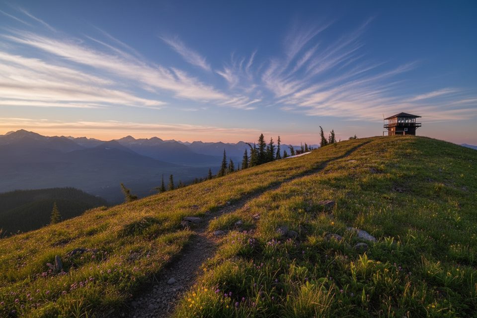
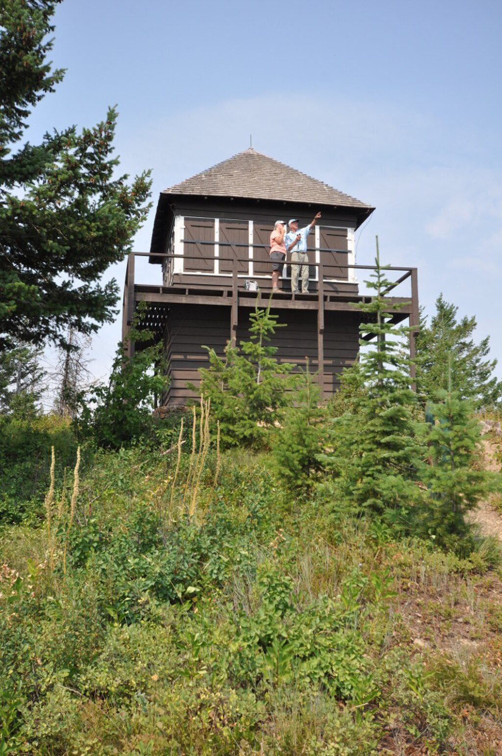
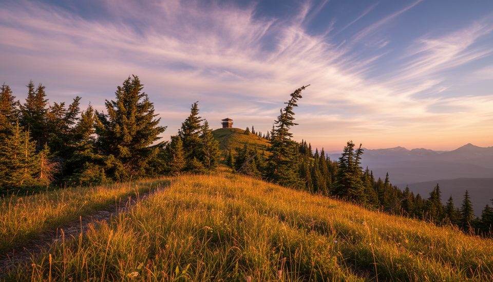
If you like your viewpoints earned, this one delivers. Huckleberry Fire Lookout crowns Huckleberry Mountain with big, wild country wrapped around you—classic Livingston Range teeth to the east, Whitefish Range to the west, and on crystal-clear days, even a peek into Canada. The lookout you’ll reach dates to 1933 and replaces a 1923 cupola-style structure; it’s still used for fire detection and is listed on the National Register of Historic Places.
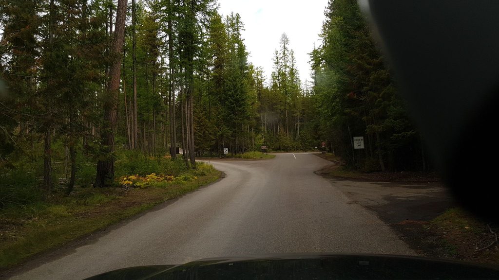
Expect a steady, honest climb: roughly 11.6 miles round trip with about 2,700+ feet of gain, commonly 6–7 hours for most hikers. The trail starts around 3,770 feet off Camas Road and grinds upward through lodgepole pine before transitioning into subalpine fir. After about four miles of climb, the final couple of miles ride a scenic ridge to the lookout. Keep an eye out for striking red argillite with ancient ripple marks—geologic graffiti from a billion‑year‑old inland sea.
Early in the season, a shaded traverse near the ridge can hold snow; the summit is exposed to wind and summer thunderstorms. There’s an early crossing of McGee Creek within the first quarter-mile, but otherwise don’t count on water.
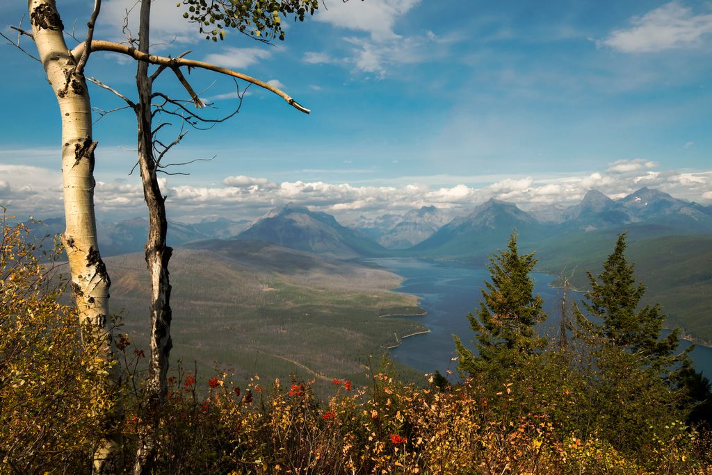
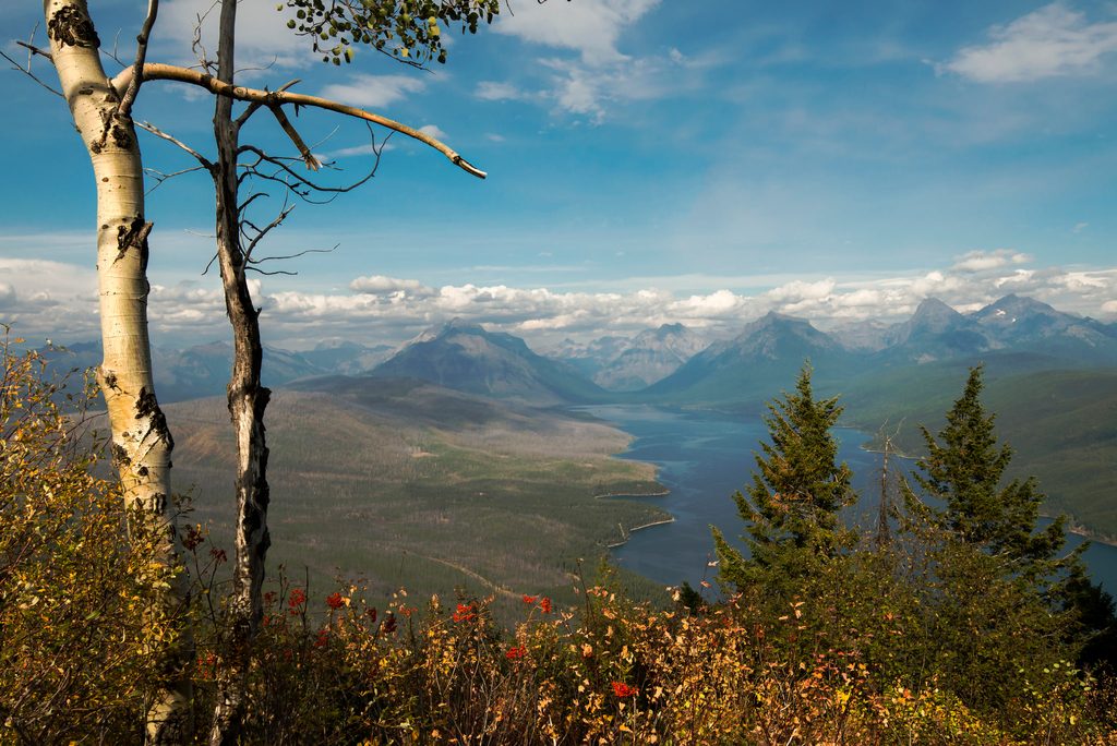
From the ridge and summit you’ll get sweeping panoramas: Livingston Range summits to the east, Whitefish Range to the west, plus recognizable peaks like Longfellow Peak, Paul Bunyan’s Cabin, Mount St. Nicholas, and The Great Northern. You can also spot the North Fork Flathead River from up high. The perspective here feels different from the park’s more serrated cores—the Apgar Mountains’ rounder ridges tell their own glacial story.
This mountain lives up to its name. Post‑fire slopes produce excellent huckleberry crops from mid‑July into fall, which is exactly why both black and grizzly bears love this area. Carry bear spray, keep it accessible, make consistent noise in brushy or berry‑rich sections, and give wildlife space.
Late June through early fall is the sweet spot. Snow can linger into late June on shaded traverses; mid‑ to late summer brings ripe berries (and more bear traffic). Start early for cooler temps, steadier winds, and a spot in the small lot. For photos, morning light flatters the Livingston Range; late afternoon warms up the ridgelines, but be mindful of afternoon storms.
The current 1933 lookout replaced a 1923 cupola and continues the park’s fire‑watch tradition. Multiple historic burns in the Apgar Mountains helped set the stage for today’s prolific huckleberry habitat—good for bears, and a big part of why this hike feels so alive in late summer.
Place · 7.7 mi away
Place · 7.7 mi away
Place · 7.7 mi away
Place · 7.9 mi away
Easy · 1.7 mi away
Easy · 4.9 mi away
Easy · 7.9 mi away
Challenging · 8.4 mi away

Parkwolf Tour Guide
