
Place · 0.6 mi away
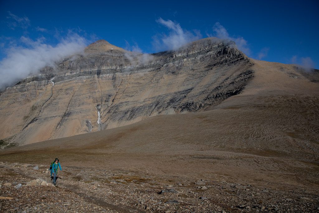
Mount Oberlin is a short, steep mountaineering-style scramble that pops you onto a big-view summit right above Logan Pass. It’s not an official park trail and it isn’t maintained, so expect a choose-your-own-adventure feel with cairns, route-finding, and some hands-on moves. Many hikers call it hard but rewarding.
Plan on roughly 3.6 miles round-trip and about 1,500 feet of gain from Logan Pass. The unsigned climber’s path heads toward the Clements–Oberlin saddle, then follows a cairned ridge to the top. The final stretch is the crux with consistent steepness and some airy steps. A loose scree descent exists, but most folks prefer sticking to the cairned ridge to avoid ball-bearing rock and unnecessary erosion. Snow can linger well into summer; when it does, sections may require mountaineering skills and gear. This is an off-trail scramble—no dogs, and you should be fully self-reliant.
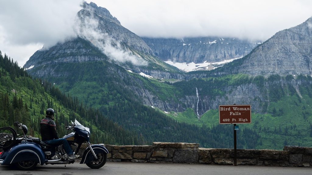
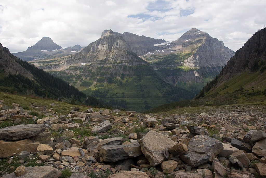
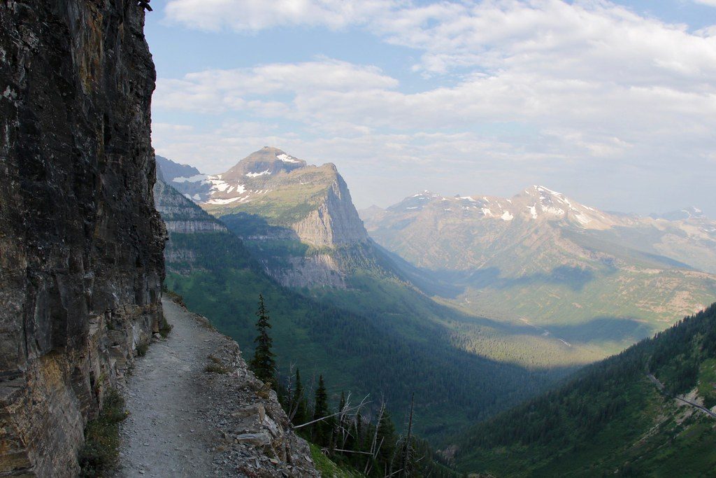
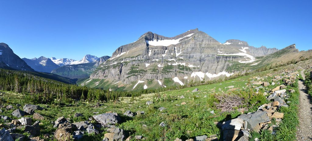
From the summit, you get the classic Logan Pass skyline and deep glacial valleys carved into U-shapes with knife-edge arêtes and cirques. The slopes around Oberlin showcase the park’s distinctive red and green Belt rocks, and you look down toward the famous Bird Woman Falls area along the road. On a clear day, the 360-degree panorama is the whole point here.
Goats are commonly spotted around Logan Pass, and bighorn sheep, bears, and raptors are possible. Give wildlife space and carry bear spray. Keep your group spread out on tundra and rock when off-trail to minimize trampling.
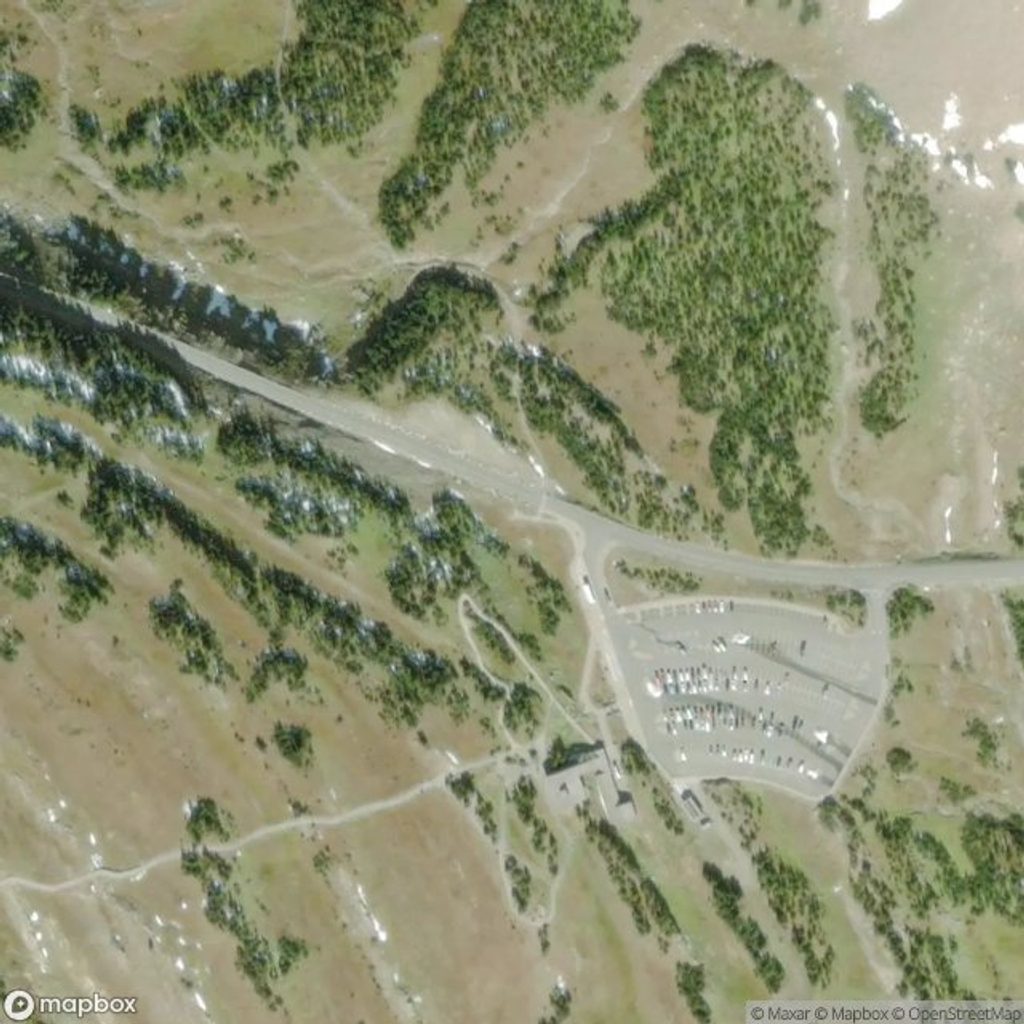
Start at the Logan Pass Visitor Center—restrooms and water are available, but there’s no food, so bring your own. The lot fills extremely early in peak season; arrive before 7 am or have a backup plan. The park’s shuttle serves Logan Pass but can involve waits and may not line up with alpine starts. Going-to-the-Sun Road opens seasonally, and summer now includes a west-side timed-entry window; entering from St. Mary or arriving outside the window can simplify things. Cell service is unreliable—download an offline GPS track, and check in with rangers about current conditions. Registering your itinerary is a smart move for a route like this.
June through October is typical, but early season often holds snow. Aim for early morning for easier parking, firmer snow (if present), lighter winds, and softer light; late afternoon can be lovely once day-hikers clear out. Weekdays are less hectic than weekends. If snow remains, bring traction or an ice axe and know how to use them; if it’s dry, expect a fun scramble with big payoff.
Place · 0.6 mi away
Place · 0.6 mi away
Place · 0.8 mi away
Place · 1 mi away
Challenging · 1 mi away
Moderate · 1 mi away
Challenging · 3.1 mi away
Moderate · 3.1 mi away

Parkwolf Tour Guide
