1 active Glacier alert
- ClosureTwo Medicine Campground closed for 2026 constructionTwo Medicine Campground is closed throughout 2026 because of construction in the Two Medicine developed area.Official details

Sight · Glacier National Park
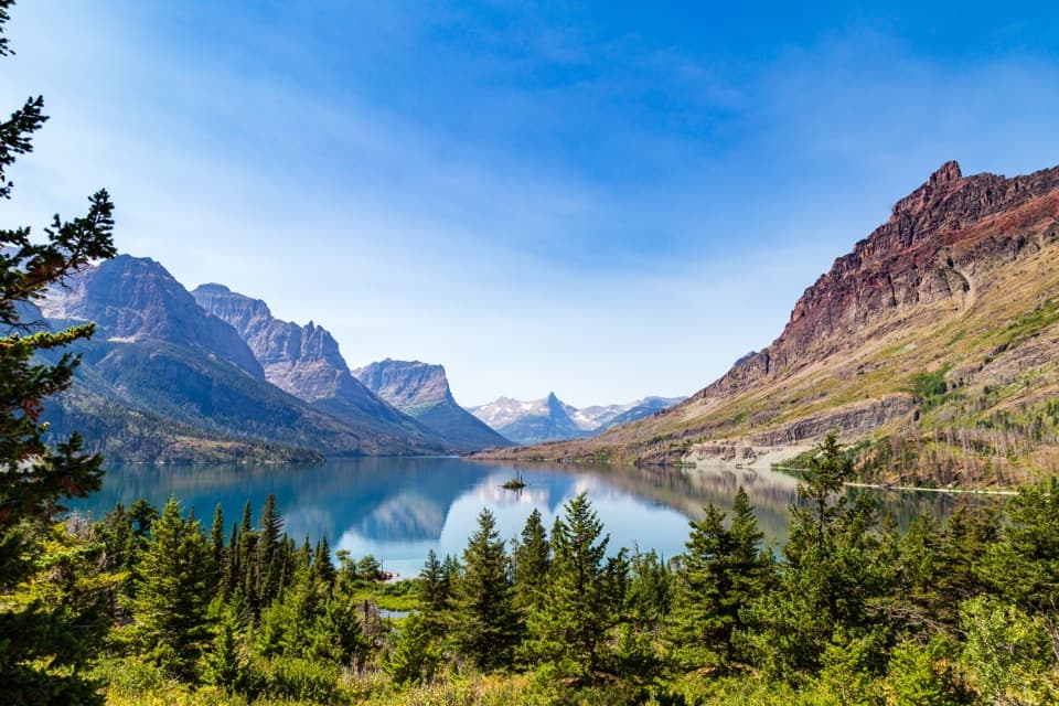
The last bend before Logan Pass opens onto a sweeping valley view.
Overview
Map
Plan your stop

The highest, rockiest slopes around here are a summer buffet for grizzly bears.
Glacier Tour Guide
Parkwolf is a GPS audio tour guide for Glacier National Park. As you drive, it chimes in with what’s ahead: hidden gems, upcoming stops, history, geology, and wildlife, right through your car’s speakers.
See the Glacier audio tourRecorded for this place
Oberlin Bend“Up ahead is Oberlin Bend, a quick viewpoint across Lake McDonald Valley. A four-hundred-foot metal-grated boardwalk takes you out to the view, where you can trace Going-to-the-Sun Road across the mountainside below.”
Plays as you drive up to Oberlin Bend in the Parkwolf Glacier Tour Guide.
More stories near here in the app
“Our first time to glacier and we used the audio portion for Going to the Sun Road. Wonderful information with perfect advice of what to see and do along the road.”


Guide
Oberlin Bend is a roadside viewpoint on Going-to-the-Sun Road, the final bend before Logan Pass when you approach from the west. A 400-foot metal-grated boardwalk leads to a wide view across Lake McDonald Valley, with the road tracing through the landscape below. It makes a worthwhile pause while crossing the pass if a parking space is open; the pullout can feel tight, so this is not a stop to count on.
This is a brief roadside walk, not a hike. The metal-grated route is marked partially wheelchair-accessible; that is a qualified designation, and the accessible portion is not described in more detail. Use the parking area serving the viewpoint rather than stopping along the busy road.
Mountain goats are a standout reason to linger here, and other subalpine wildlife may appear as well. Scan the slopes when you arrive; sightings are never guaranteed, but a goat can turn a quick valley view into a memorable stop.
The view includes the road itself, winding across the mountainside above the valley. Its basic infrastructure was built between 1921 and 1932, and the full length opened to visitors in 1932. Improvements continued through 1955, when the final section was paved.
Oberlin Bend is most useful as a quick pullout on a crossing of Logan Pass. Access depends on Going-to-the-Sun Road being open through the high country; that section closes seasonally in winter, so check road status before making this a must-do stop.
Wildlife
 404 sightingsGrizzly BearMost seen around 6 AMSighting map
 11 sightingsWolverineMost seen around 8 PMSighting map
 1,173 sightingsMountain GoatMost seen around 6 AMSighting map
 1,000 sightingsBighorn SheepMost seen around 6 AMSighting map
 395 sightingsMooseMost seen around 6 AMSighting map
 506 sightingsBlack BearMost seen around 8 PMSighting map
Sighting maps show where each species has been reported across Glacier. Wildlife moves, so no sighting is guaranteed.
Keep exploring
 ChallengingHighline Trail11.8 mi · 8 hr · 0.4 mi awayA Garden Wall ledge walk with a long, steep finish.
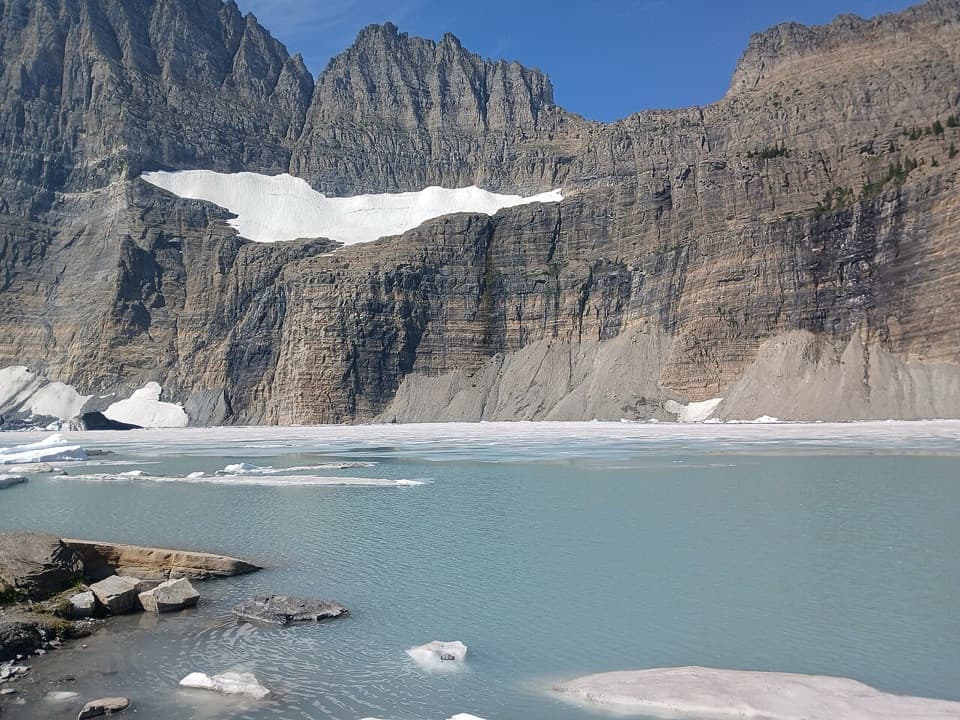
 ChallengingHighline Trail to Grinnell Glacier Overlook15.1 mi · 9 hr · 0.4 mi awayA long, exposed traverse earns a knockout view over the glacier basin.
 ModerateHidden Lake Overlook Trail2.6 mi · 2.5 hr · 0.4 mi awayBoardwalk and switchbacks open onto a lake beneath Bearhat Mountain.
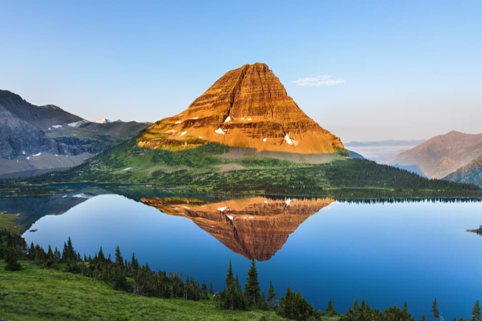 ChallengingHidden Lake Trail5.4 mi · 3.5 hr · 0.4 mi awayGo past the overlook only if you’re ready for a steep return.
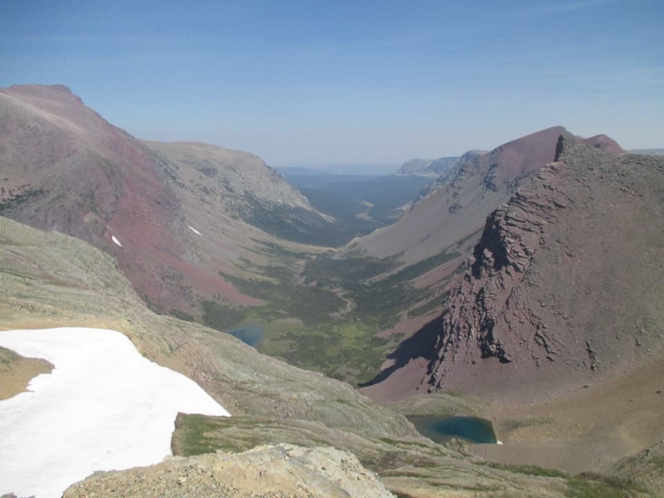 ChallengingSiyeh Pass Trail10 mi · 7 hr · 2.6 mi awayA steep pass crossing rewarded with Sexton Glacier and Baring Creek.
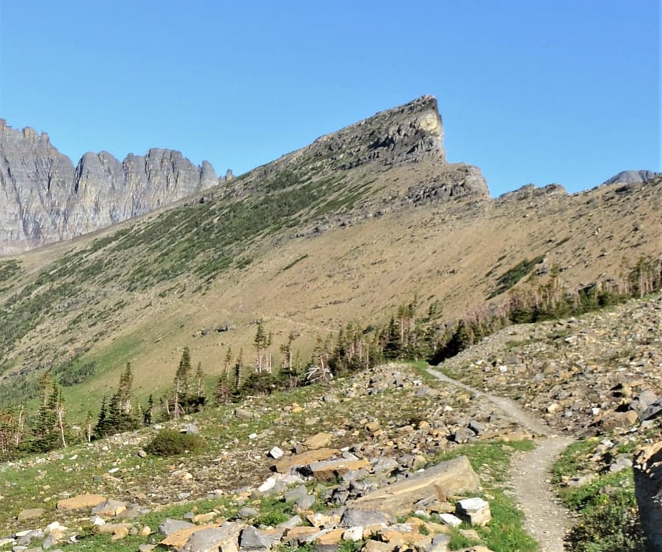 ChallengingPiegan Pass Trail9 mi · 6 hr · 2.6 mi awayA high saddle, glacier views, and a vanished railway bell.
 ChallengingFlorence Falls Trail9.8 mi · 4.5 hr · 3.6 mi awayA long out-and-back to Florence Falls through creek and pond country
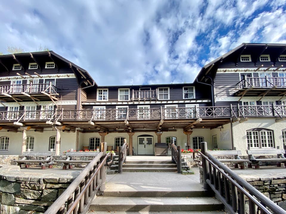
 ChallengingGunsight Pass Trail to Lake McDonald Lodge19.5 mi · 14 hr · 3.7 mi awayA demanding east-to-west traverse over two high alpine passes.
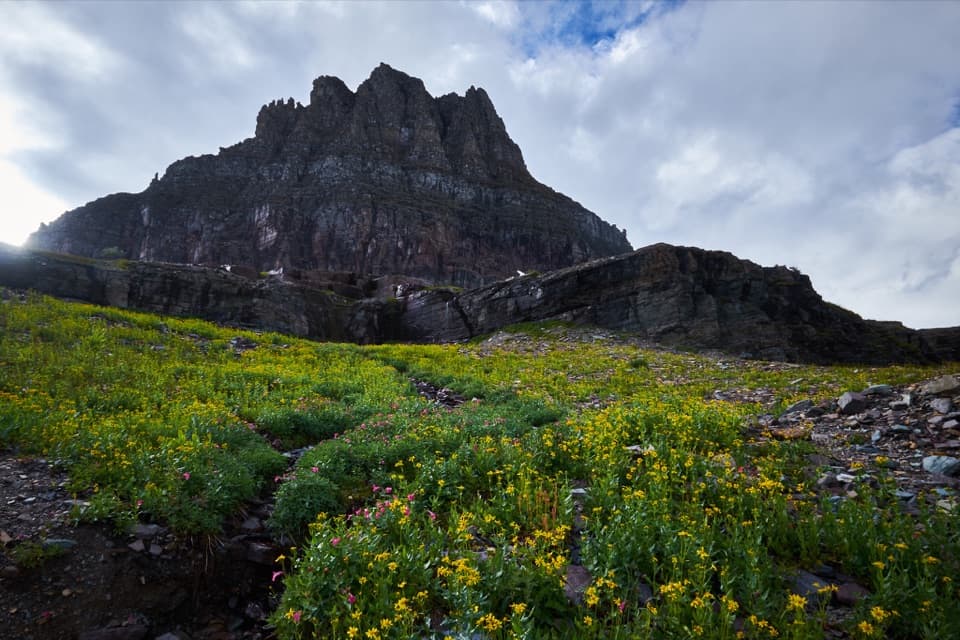 Sight · 0.5 mi awayLogan PassThe high point of the road is also a great trailhead.
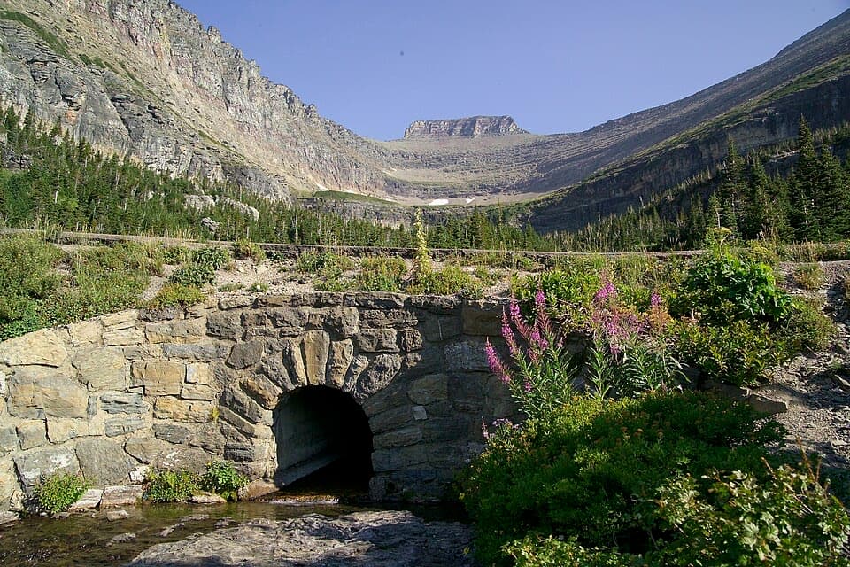 Sight · 1 mi awayLunch CreekA rock-step cascade beneath Pollock Mountain, framed by a stone bridge.
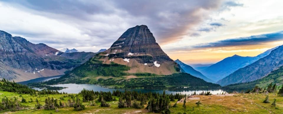 Sight · 1.2 mi awayHidden Lake OverlookAn exposed climb earns the park's classic view of Hidden Lake.
 Sight · 1.2 mi awayTriple ArchesThree masonry arches carry Going-to-the-Sun Road across a mountainside.
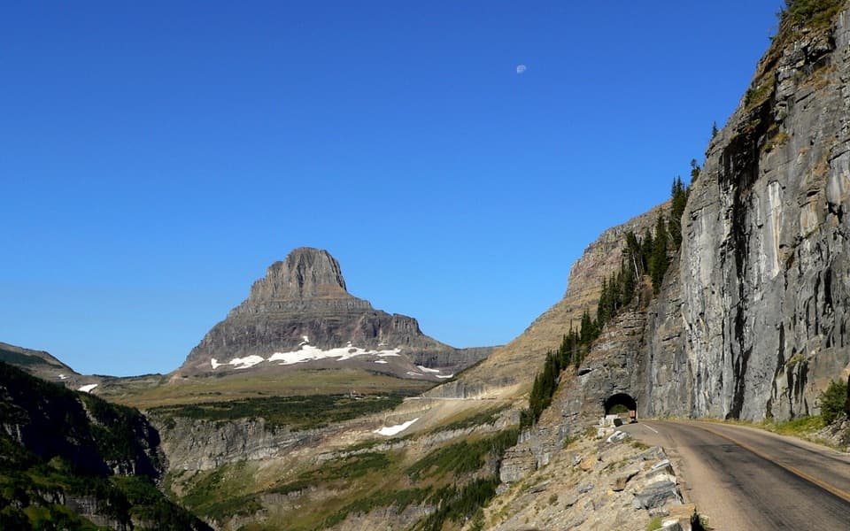 Sight · 1.3 mi awayEast TunnelA 408-foot cut through Piegan Mountain, right on the road.
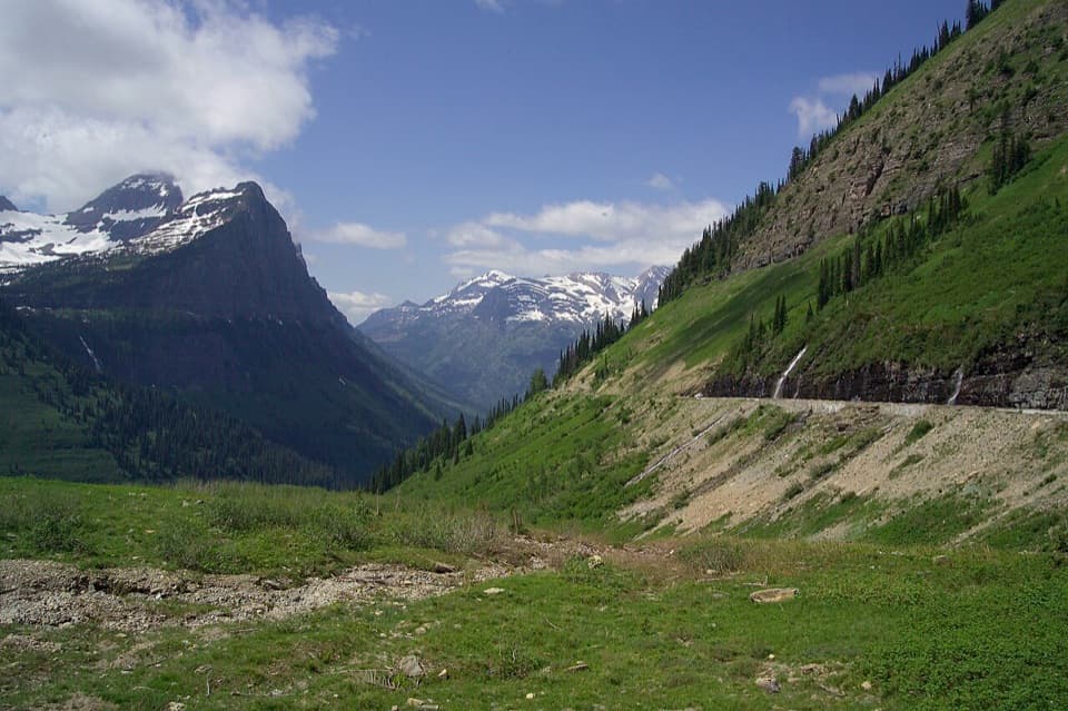 Scenic pullout · 1.9 mi awayBig BendA sweeping bend with Mount Cannon, Oberlin, and Heaven's Peak in view.
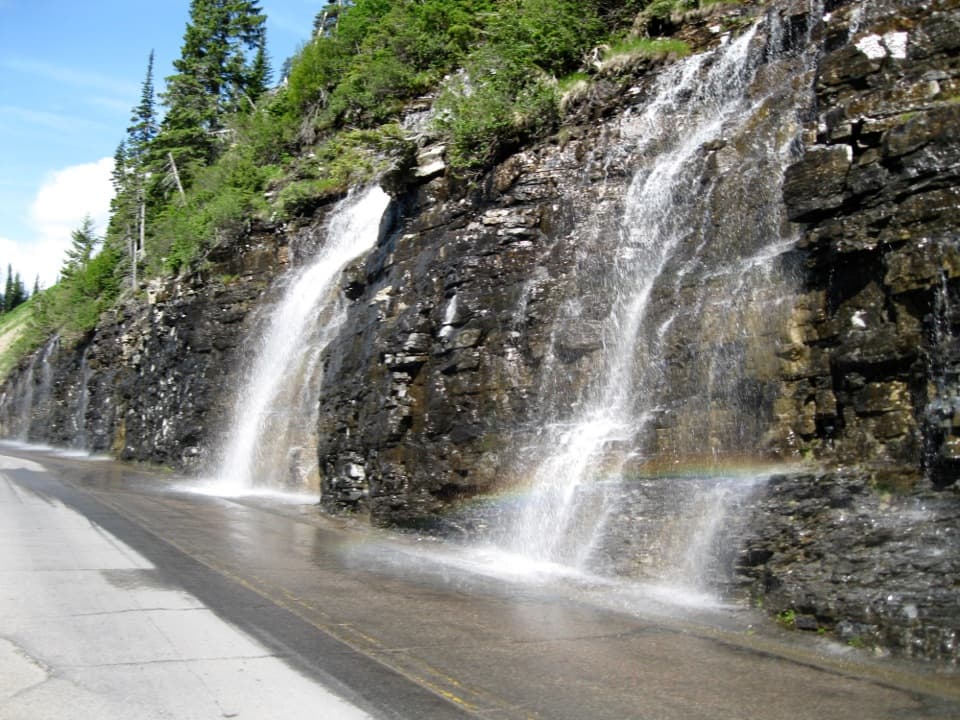 Sight · 1.9 mi awayWeeping WallA snowmelt curtain turns the road into a waterfall pass.
 Sight · 2.9 mi awayHaystack Creek FallsA waterfall slips beneath the road in a stone-faced culvert.
Parkwolf’s Glacier ranking

The audio tour guide for the drive, plus offline maps, trails, and wildlife heatmaps for when the signal drops.