Parking
Roadside auto parking is available at the Piegan Pass Trailhead at Siyeh Bend, but capacity is limited during peak summer. The crossing finishes at Sunrift Gorge; use the park shuttle when operating or arrange a vehicle transfer.
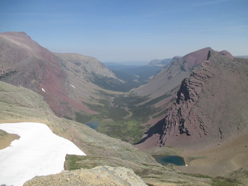
#10 of 157 trails in Glacier
Glacier National Park, MT
A steep pass crossing rewarded with Sexton Glacier and Baring Creek.
Overview
Map & elevation
Plan your hike

The highest, rockiest slopes around here are a summer buffet for grizzly bears.
Glacier Tour Guide
Parkwolf is a GPS audio tour guide for Glacier National Park. As you drive, it chimes in with what’s ahead: hidden gems, upcoming stops, history, geology, and wildlife, right through your car’s speakers.
See the Glacier audio tourRecorded for this trailhead
Siyeh Bend and Siyeh Pass“You’re coming up on Siyeh Bend, a starting point for the hike over Siyeh Pass. The ten-mile crossing is a strenuous six-to-eight-hour outing, with a steep, rocky climb and a long descent.”
Plays as you drive up to this trailhead in the Parkwolf Glacier Tour Guide.
More stories near here in the app
“Our first time to glacier and we used the audio portion for Going to the Sun Road. Wonderful information with perfect advice of what to see and do along the road.”


Trail guide
Siyeh Pass Trail is a 10-mile point-to-point hike from the Piegan Pass Trailhead at Siyeh Bend to Sunrift Gorge. It climbs to a high divide above Preston Park, then descends the long Baring Creek valley with Sexton Glacier across the slopes. Expect a very challenging day: about 2,300 feet up and 3,400 feet down, with roughly 6 to 8 hours on foot. The scenery changes from forest to meadow to open alpine country, but you need a shuttle or a vehicle pickup at the far end. This is the full crossing, not the shorter hike that turns around at the pass.
Start at the Piegan Pass Trailhead on Going-to-the-Sun Road and finish at Sunrift Gorge. The park shuttle can return you to the start when it is operating; check its service and have a backup transfer plan before setting out. Parking at Siyeh Bend is limited during peak summer. The high route and its road access are seasonal, and lingering snow can block the crossing. Check current trail and road status. Dogs are not allowed on park trails.
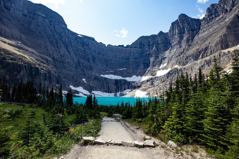
The climb starts in forest and opens into Preston Park, an alpine meadow with a stream and wildflowers. This is a good place to pause before the harder part. Views build toward Piegan Mountain, Mount Siyeh and the surrounding peaks. The trail then climbs more steeply toward the divide; the footing gets rocky and loose, and the switchbacks make the elevation gain feel continuous. Several hikers say this ascent takes more effort than they expected, so keep a steady pace and save some energy for the long descent.
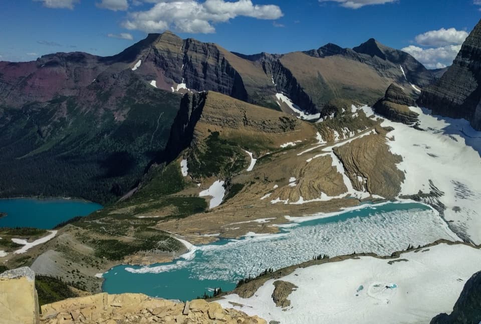
The pass opens onto the Boulder Drainage and a wide spread of high peaks. Look for Matahpi Peak and Going-to-the-Sun Mountain above Baring Creek Valley, with Sexton Glacier tucked beneath Matahpi's eastern slopes. Little Chief Mountain stands farther south. For a photo, include the near ridge or a snowfield with the valley and its small lakes; the foreground makes the drop and scale easier to read than a frame aimed only at the distant skyline.
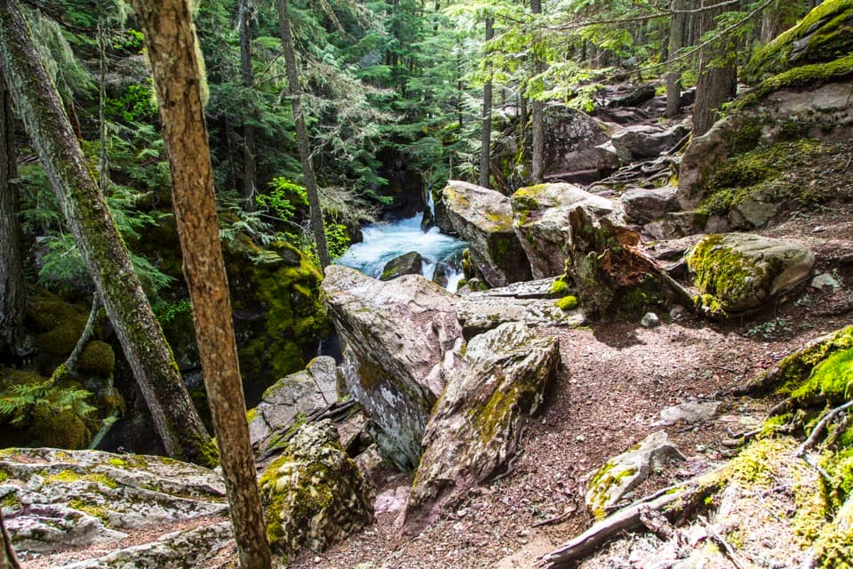
Beyond the divide, the route drops through open alpine slopes. Waterfalls appear below Sexton Glacier, then the trail reaches the valley floor and follows Baring Creek toward Sunrift Gorge. The high country gives way to more wooded terrain near the finish. This is a long downhill after a strenuous climb, so tired legs still have work to do. The combination of a steep ascent and an even longer descent is the main tradeoff of doing the crossing in one day.
The route is difficult because it stays demanding for miles: a sustained climb, rough upper footing, and a long descent add up to more than the distance alone suggests. Visitors repeatedly praise the change in scenery and glacier views, but also describe the climb as strenuous. Carry a warm layer for the exposed high ground, and avoid starting late; a shuttle return adds another moving part to an already long day.
You can hike 4.6 miles one way from Siyeh Bend to Siyeh Pass and retrace the route for a 9.2-mile out-and-back, with about 2,362 feet gained. It is still a very hard hike and only slightly shorter than the crossing, but it avoids the long descent to Sunrift Gorge and the shuttle transfer. Choose it when you want the pass view and prefer to return over familiar ground.
Wildlife
 404 sightingsGrizzly BearMost seen around 6 AMSighting map
 11 sightingsWolverineMost seen around 8 PMSighting map
 1,173 sightingsMountain GoatMost seen around 6 AMSighting map
 1,000 sightingsBighorn SheepMost seen around 6 AMSighting map
 395 sightingsMooseMost seen around 6 AMSighting map
 506 sightingsBlack BearMost seen around 8 PMSighting map
Sighting maps show where each species has been reported across Glacier. Wildlife moves, so no sighting is guaranteed.
Keep exploring
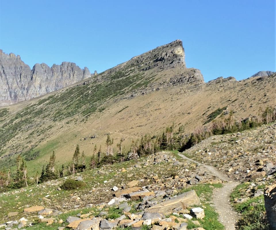 ChallengingPiegan Pass Trail9 mi · 6 hr · At the trailheadA high saddle, glacier views, and a vanished railway bell.
 ChallengingFlorence Falls Trail9.8 mi · 4.5 hr · 1.8 mi awayA long out-and-back to Florence Falls through creek and pond country
 ChallengingGunsight Pass Trail to Lake McDonald Lodge19.5 mi · 14 hr · 1.8 mi awayA demanding east-to-west traverse over two high alpine passes.
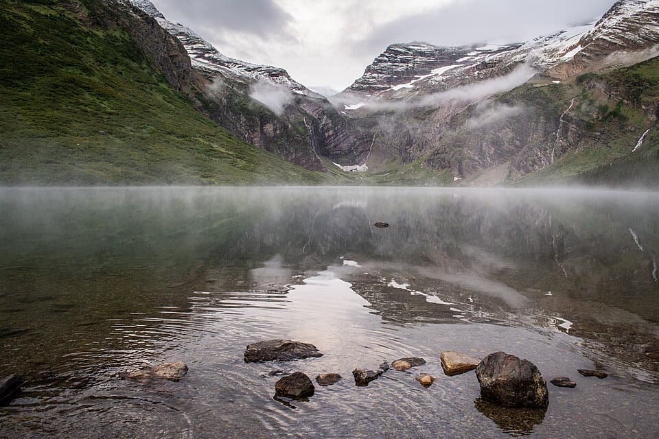 ChallengingGunsight Lake Trail12.9 mi · 8.5 hr · 1.8 mi awayA long valley walk to Gunsight Lake’s rocky shore
 ChallengingHighline Trail to Grinnell Glacier Overlook15.1 mi · 9 hr · 2.3 mi awayA long, exposed traverse earns a knockout view over the glacier basin.
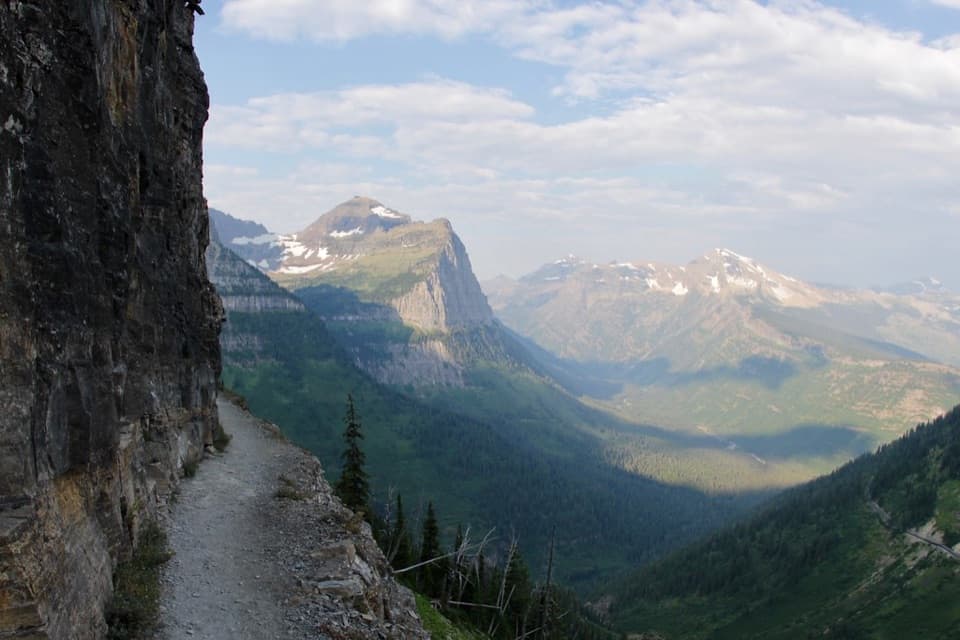 ChallengingHighline Trail11.8 mi · 8 hr · 2.3 mi awayA Garden Wall ledge walk with a long, steep finish.
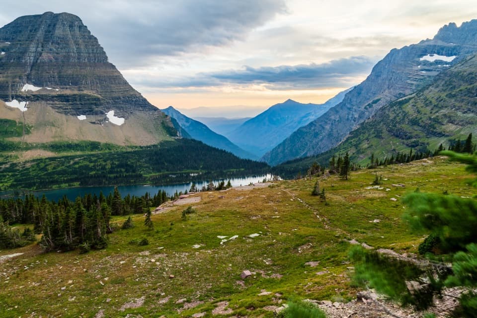 ModerateHidden Lake Overlook Trail2.6 mi · 2.5 hr · 2.3 mi awayBoardwalk and switchbacks open onto a lake beneath Bearhat Mountain.
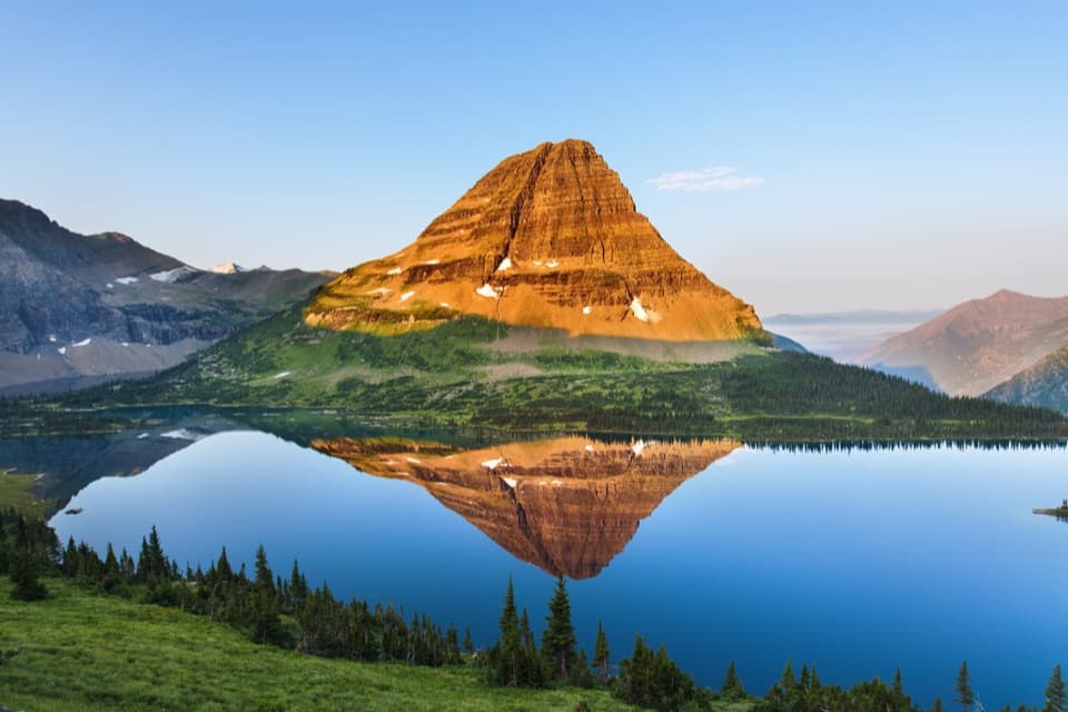 ChallengingHidden Lake Trail5.4 mi · 3.5 hr · 2.3 mi awayGo past the overlook only if you’re ready for a steep return.
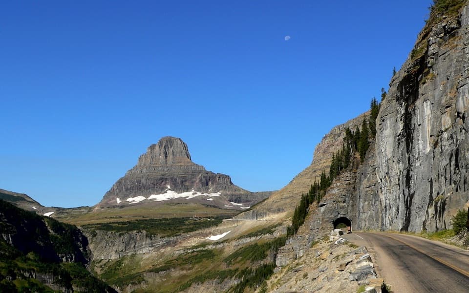 Sight · 1.3 mi awayEast TunnelA 408-foot cut through Piegan Mountain, right on the road.
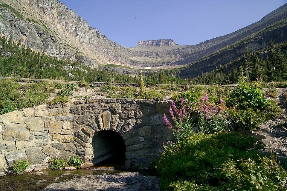 Sight · 1.6 mi awayLunch CreekA rock-step cascade beneath Pollock Mountain, framed by a stone bridge.
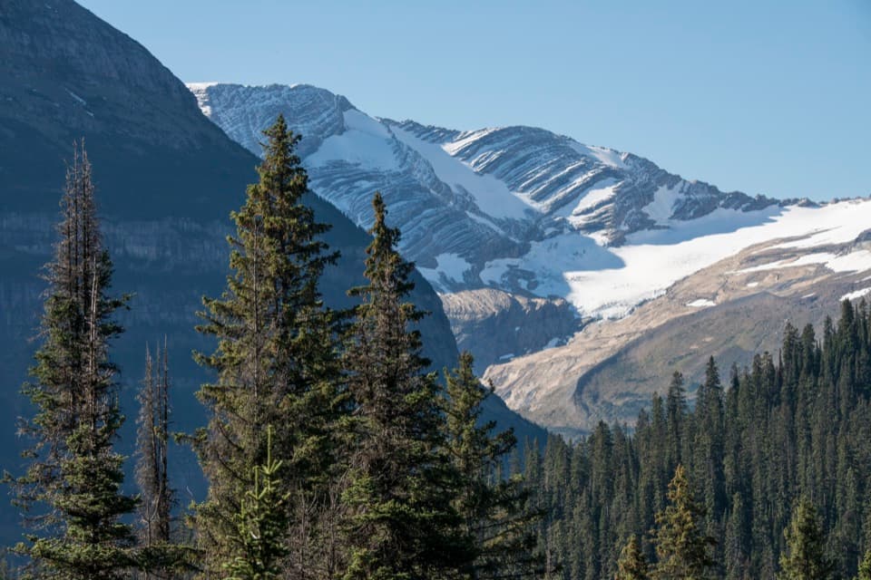 Sight · 1.7 mi awayJackson Glacier OverlookA glacier view worth the quick stop on Going-to-the-Sun Road.
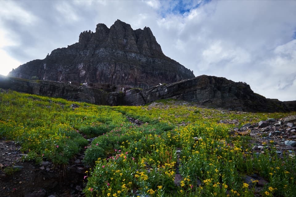 Sight · 2.3 mi awayLogan PassThe high point of the road is also a great trailhead.
 Sight · 2.5 mi awayTriple ArchesThree masonry arches carry Going-to-the-Sun Road across a mountainside.
 Sight · 2.6 mi awayOberlin BendThe last bend before Logan Pass opens onto a sweeping valley view.
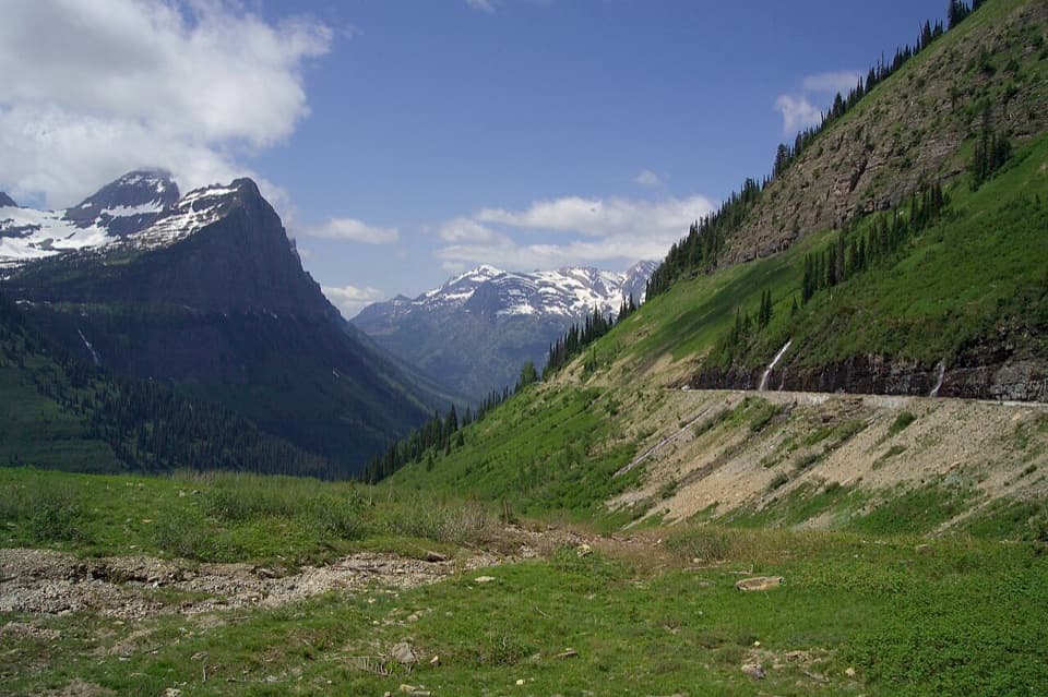 Scenic pullout · 3.1 mi awayBig BendA sweeping bend with Mount Cannon, Oberlin, and Heaven's Peak in view.
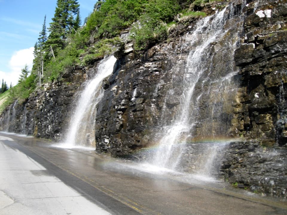 Sight · 3.3 mi awayWeeping WallA snowmelt curtain turns the road into a waterfall pass.
Parkwolf’s Glacier ranking

The audio tour guide for the drive, plus offline maps, trails, and wildlife heatmaps for when the signal drops.