1 active Glacier alert
- ClosureTwo Medicine Campground closed for 2026 constructionTwo Medicine Campground is closed throughout 2026 because of construction in the Two Medicine developed area.Official details
Sight · Glacier National Park
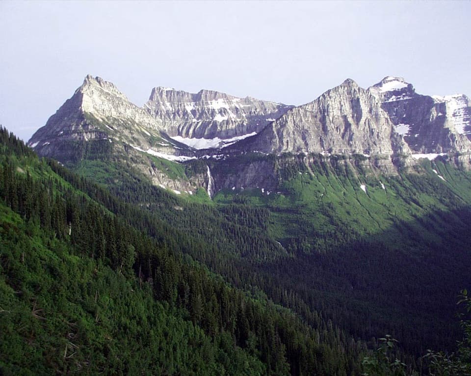
A 492-foot waterfall framed by a hanging valley.
Overview
Map
Plan your stop

The highest, rockiest slopes around here are a summer buffet for grizzly bears.
Glacier Tour Guide
Parkwolf is a GPS audio tour guide for Glacier National Park. As you drive, it chimes in with what’s ahead: hidden gems, upcoming stops, history, geology, and wildlife, right through your car’s speakers.
See the Glacier audio tourRecorded for this place
Bird Woman Falls and Haystack Creek“Up ahead is Bird Woman Falls Overlook, a quick stop for a tall waterfall across the valley. Look between Mount Oberlin and Mount Cannon for the long white drop; at this distance, it can seem surprisingly small.”
Plays as you drive up to Bird Woman Falls Overlook in the Parkwolf Glacier Tour Guide.
More stories near here in the app
“Our first time to glacier and we used the audio portion for Going to the Sun Road. Wonderful information with perfect advice of what to see and do along the road.”


Guide
Bird Woman Falls Overlook is a signed roadside turnout on Going-to-the-Sun Road, facing a 492-foot waterfall across the Lake McDonald Valley between Mount Oberlin and Mount Cannon. I’d stop if you’re already crossing the high road: the falls are a thin white line at this distance, but the mountain walls give you the setting that makes them interesting.
The nearer cascades directly ahead are on Haystack Creek; Bird Woman Falls is the long drop across the valley. That’s an easy mix-up, so look between the two peaks for the taller fall.
A smaller glacier carved the bowl above the falls and met the larger glacier in the main valley. It couldn’t cut as deeply, leaving this hanging valley high above the Lake McDonald Valley. During the last ice age, ice up to 3,000 feet thick covered this area as recently as about 12,000 years ago.
An active glacier no longer feeds Bird Woman Falls; a snowfield in the cirque above supplies the water now. In especially dry years, the falls can dry up by autumn, so the amount of water you see changes with the season.
The viewpoint has auto parking, but the alpine section of Going-to-the-Sun Road closes seasonally to vehicles. Check which sections are open before you drive over. For a photo, include Mount Oberlin and Mount Cannon around the drop; a tight view helps pick out the water, while the full cliff and valley show where the falls sit.
Wildlife
 404 sightingsGrizzly BearMost seen around 6 AMSighting map
 11 sightingsWolverineMost seen around 8 PMSighting map
 1,173 sightingsMountain GoatMost seen around 6 AMSighting map
 1,000 sightingsBighorn SheepMost seen around 6 AMSighting map
 395 sightingsMooseMost seen around 6 AMSighting map
 506 sightingsBlack BearMost seen around 8 PMSighting map
Sighting maps show where each species has been reported across Glacier. Wildlife moves, so no sighting is guaranteed.
Keep exploring
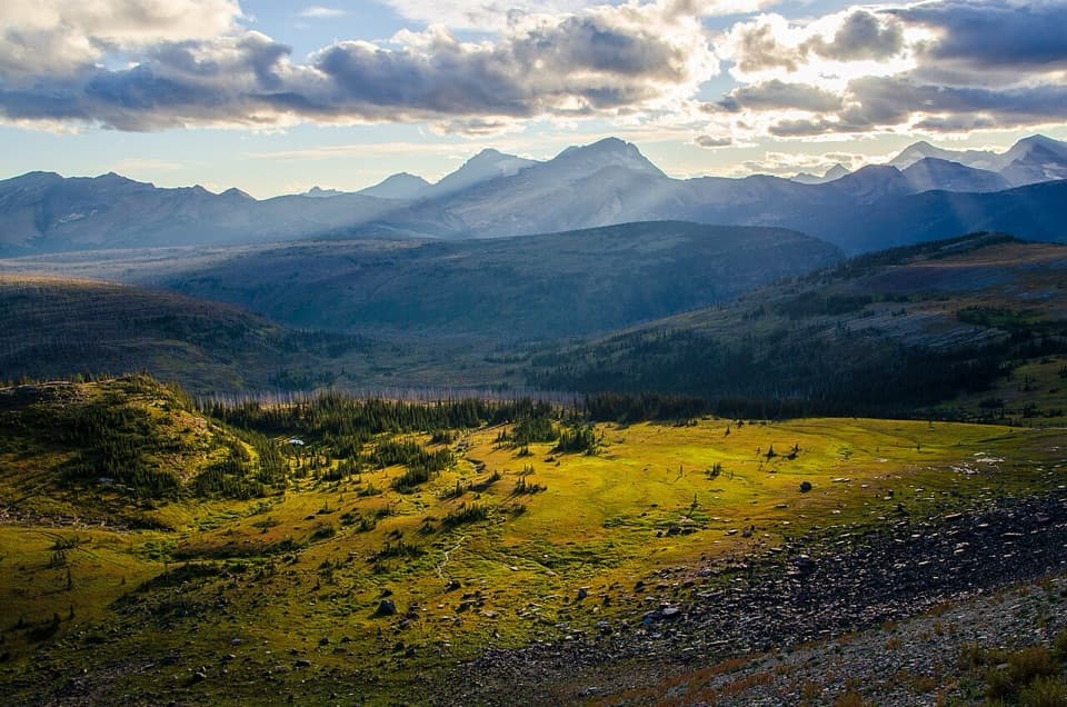 ChallengingFlattop Mountain Trail12 mi · 9 hr · 1.5 mi awayA remote 12-mile crossing from Packer's Roost to Fifty Mountain.ChallengingNorthern Highline Trail11.9 mi · 9 hr · 2.4 mi awayA remote alpine traverse for a multi-day backcountry trip.
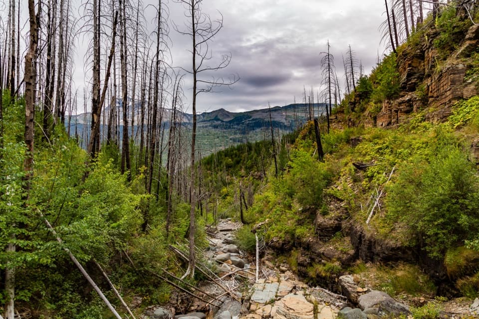 ChallengingGranite Park Trail from The Loop8.4 mi · 6 hr · 2.6 mi awayA steep climb through the 2003 burn to a historic chalet.
 ChallengingHighline Trail11.8 mi · 8 hr · 3.3 mi awayA Garden Wall ledge walk with a long, steep finish.
 ChallengingHighline Trail to Grinnell Glacier Overlook15.1 mi · 9 hr · 3.3 mi awayA long, exposed traverse earns a knockout view over the glacier basin.
 ModerateHidden Lake Overlook Trail2.6 mi · 2.5 hr · 3.3 mi awayBoardwalk and switchbacks open onto a lake beneath Bearhat Mountain.
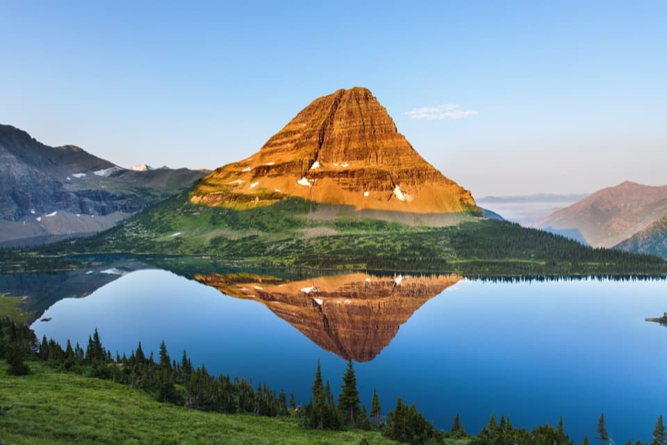 ChallengingHidden Lake Trail5.4 mi · 3.5 hr · 3.3 mi awayGo past the overlook only if you’re ready for a steep return.
 EasyGrinnell Lake Trail2.2 mi · 1.5 hr · 3.9 mi awayTwo boat crossings lead to a short walk beneath Grinnell Falls.
 Sight · 0.1 mi awayHaystack Creek FallsA waterfall slips beneath the road in a stone-faced culvert.
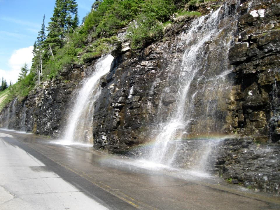 Sight · 1.3 mi awayWeeping WallA snowmelt curtain turns the road into a waterfall pass.
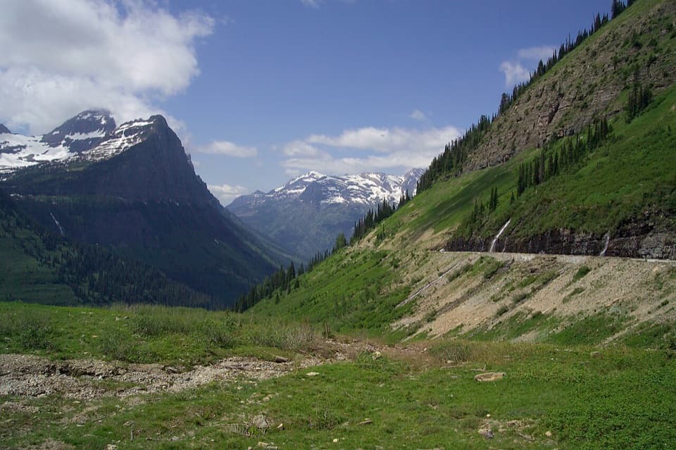 Scenic pullout · 1.4 mi awayBig BendA sweeping bend with Mount Cannon, Oberlin, and Heaven's Peak in view.Sight · 1.6 mi awayGrinnell Glacier OverlookA steep ridge spur above Grinnell's shrinking glacier.
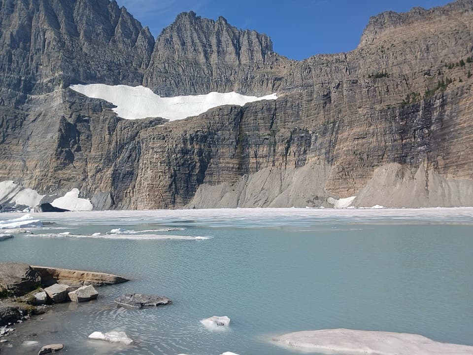 Sight · 1.7 mi awayGrinnell Glacier ViewpointA steep hike ends above turquoise water and a glacier.
 Sight · 2 mi awayWest TunnelTwo windows frame Heavens Peak and McDonald Creek from the road.
 Sight · 2.1 mi awayTriple ArchesThree masonry arches carry Going-to-the-Sun Road across a mountainside.
 Lodging · 2.4 mi awayGranite Park ChaletA rare 1914 chalet worth the hike if you're staying overnight.
Parkwolf’s Glacier ranking

The audio tour guide for the drive, plus offline maps, trails, and wildlife heatmaps for when the signal drops.