
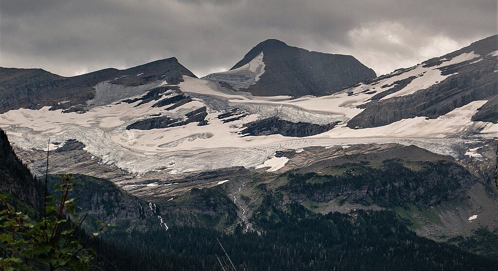
Place · 5.9 mi away
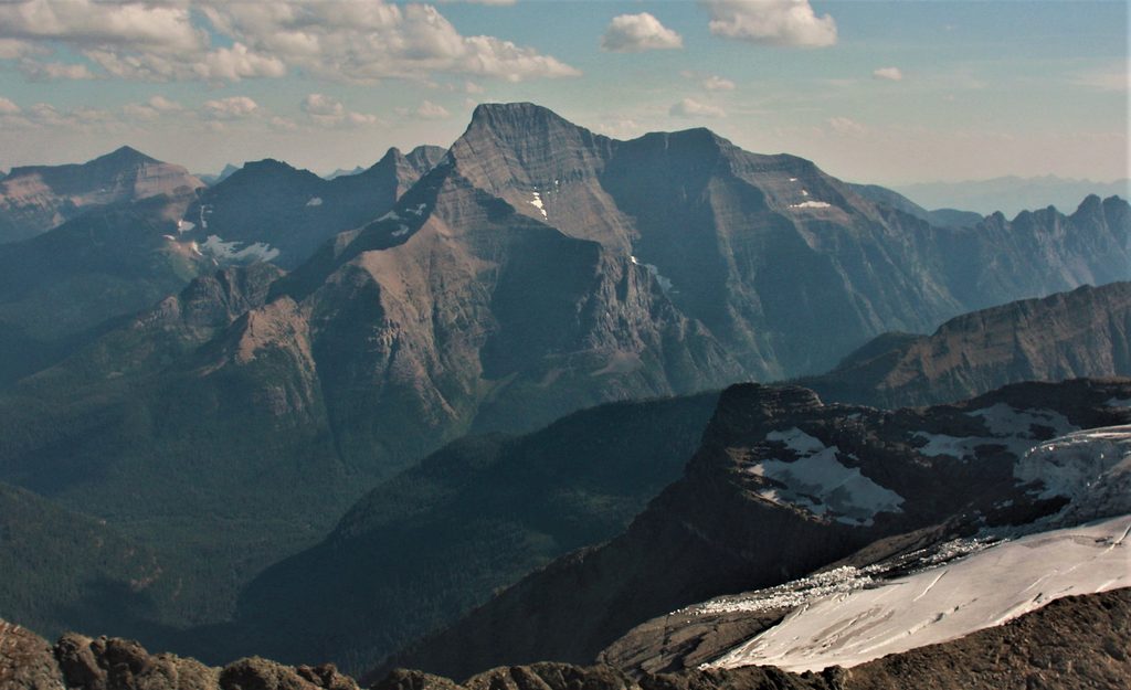
Mount Stimson is Glacier’s second-highest peak at 10,147 feet and one of its most committing objectives. It sits far from roads and rises abruptly—an immense, steep massif that seasoned climbers still call a monster. Expect isolation, big relief, and an approach that’s tougher than the summit scrambling.
Most parties approach from US‑2 via Coal Creek, immediately fording the Middle Fork of the Flathead before backpacking deep into the Nyack/Coal Creek country. From the Beaver Woman/Buffalo Woman Lake area, you’ll gain the Pinchot/Eaglehead col and make a long, intricate traverse across ledges on Mount Pinchot to the Pinchot–Stimson saddle. The southeast ridge of Stimson then climbs mostly on stacked ledges—Class 2–3 with occasional spicier steps—about 2,500–2,600 feet to the summit. It looks intimidating but goes well when dry.
The approach is the crux. Count on a cold, potentially hazardous river ford at the very start, then multiple unbridged Coal Creek crossings that usually mean wet feet. Trails are brushy and often soggy; progress can be slow. The Pinchot ledge traverse is longer and more involved than it first appears, and route-finding matters.
Most teams make it a 3–5 day backpack to manage distance, fords, and weather. Very strong parties sometimes do fast-and-light pushes around 24–30 hours, but that demands confident navigation, night travel, and tough foot management.
You’ll need a Glacier backcountry permit to overnight in this zone. Designated backcountry camps like Coal Creek and Beaver Woman/Buffalo Woman typically have pit toilets and food-hanging infrastructure; if you plan to camp off designated sites, check current park rules on approved food storage. There are no facilities at the US‑2 access—plan to be self-sufficient from the car onward.
Unbridged fords, slick ledges, loose rock, and fast-changing alpine weather are standard here. This is prime grizzly country; travel in a group, make noise, carry bear spray, and store food properly. Mountain lion activity has been reported near Coal Creek Camp.
The peak is carved from ancient Belt Supergroup rocks shoved east along the Lewis Overthrust, with repeated ice-age glaciations sculpting the U-shaped valleys, cirques, and hanging basins you travel through on the approach.
From the Pinchot–Stimson saddle and on the summit, you’ll look across the Nyack Creek drainage to a constellation of high peaks. Expect big, austere faces dropping thousands of feet, a stark reminder of Stimson’s massive relief. A tarn and small glaciers linger beneath the saddle in good viewing conditions.
Late July through September is the sweet spot: lower river and creek levels, less lingering snow on ledges, and longer weather windows. Start summit day early to bank time for route-finding and changing weather. Crowds aren’t a concern here—the limiting factors are water, brush, and conditions.
Experienced backpackers/scramblers comfortable with Class 3 terrain, remote travel, and committing river/creek fords. This is not a casual Glacier day hike, and it’s more about endurance and judgment than technical climbing.
Place · 5.9 mi away
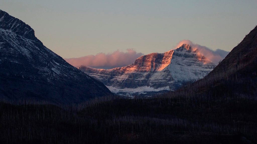
Place · 5.9 mi away
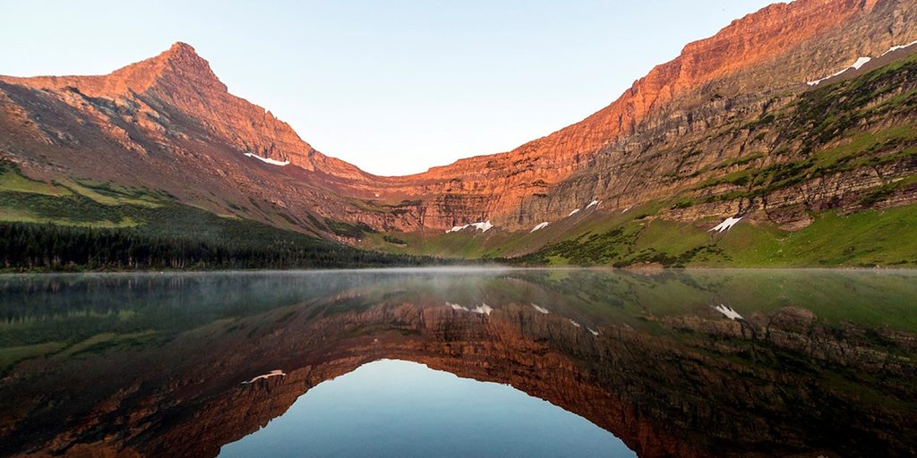
Place · 6.8 mi away
Place · 7.3 mi away
Challenging · 10.3 mi away
Moderate · 11.1 mi away
Easy · 11.1 mi away
Easy · 11.1 mi away

Parkwolf Tour Guide
