
Place · 3.3 mi away
Havasu Creek is the Grand Canyon’s blue‑green ribbon—an oasis of travertine pools and waterfalls running through towering red rock. The photogenic stretch most people dream about (Havasu Falls, Mooney Falls, Beaver Falls, and the campground) lies on Havasupai Tribal lands; downstream, the creek meets the Colorado River at the Confluence inside the canyon.
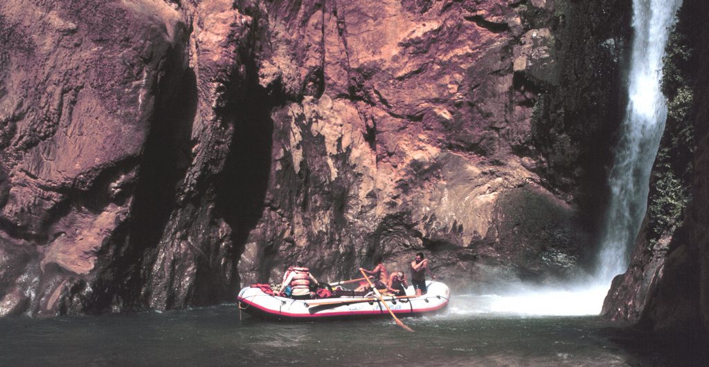
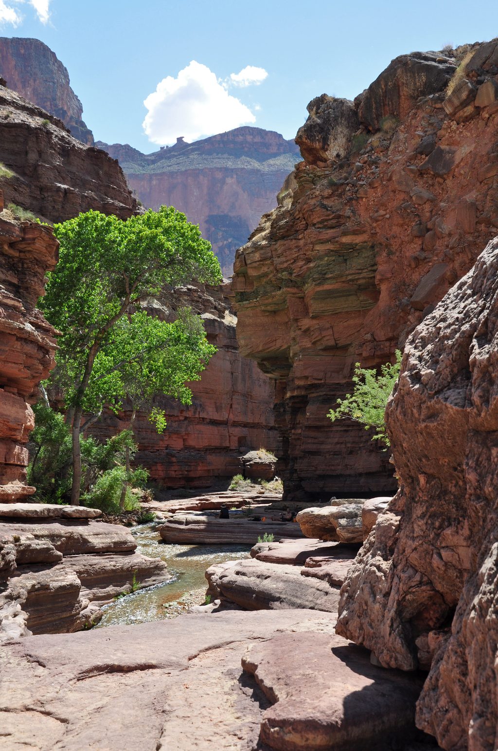
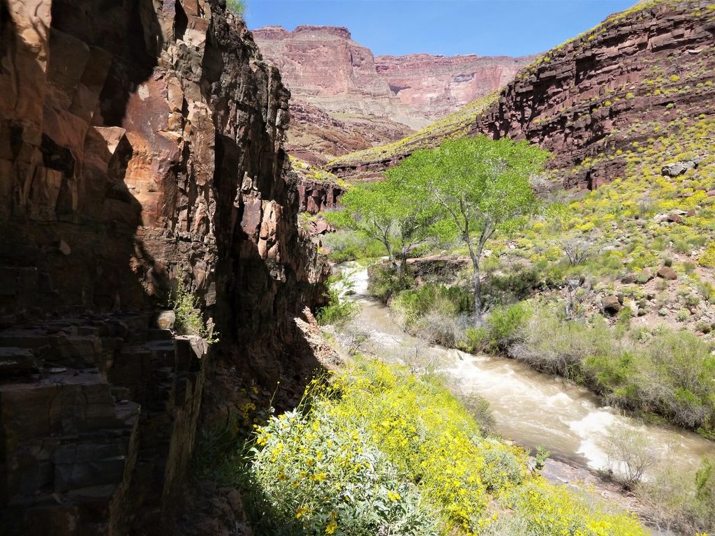
Mineral‑rich water lays down travertine that builds natural dams, terraces, and crystal pools. The big draws are the waterfalls—Havasu, Mooney, and Beaver—each spilling into vivid turquoise basins. It’s a lush corridor lined with riparian trees and framed by orange‑red canyon walls.
Access to the famed falls and the creekside campground is strictly managed by the Havasupai Tribe. You must secure a reservation/permit in advance, and they sell out quickly. The approach is a serious backcountry hike; the primary rim access is from Hualapai Hilltop, with no road to the falls or campground.
Expect sandy washes, firmer use‑trails along the banks, and a true backcountry setting between Supai Village, Havasu Falls, Mooney, Beaver, and on toward the Confluence. Beyond Havasu Falls, routes can involve ladders, chains, and multiple creek crossings. Camping stretches more than a mile along the creek between Havasu and Mooney Falls.
At the creekside campground you’ll find composting/vault toilets and scattered picnic tables; not every spot has a table. There are no restaurants or stores along the creek itself; modest services (a small store and café) are in Supai Village upstream. Many visitors filter water directly from the creek; a potable spigot is in Supai.
Riparian habitat brings songbirds like canyon wrens and swallows; you may also encounter frogs, lizards, squirrels, bats, and occasionally deer around the creek corridor.
This is a remote desert canyon with very limited facilities. Summer heat can be intense, the hike is long, and you’ll need to be self‑reliant. Pack light but smart: sturdy footwear, sun protection, a water‑treatment system, and all your food. Follow tribal rules and practice Leave No Trace.
Permit availability often dictates timing. To avoid the intense summer heat noted here, many visitors plan for cooler conditions and start hikes early. Crowds are controlled by the permit system, but demand is high—reserve as soon as bookings open.
Place · 3.3 mi away
Place · 14.1 mi away
Place · 15.3 mi away
Place · 15.3 mi away
Challenging · 18.6 mi away
Challenging · 19.4 mi away
Challenging · 19.6 mi away
Challenging · 19.6 mi away

Parkwolf Tour Guide
