
Place · 1.8 mi away
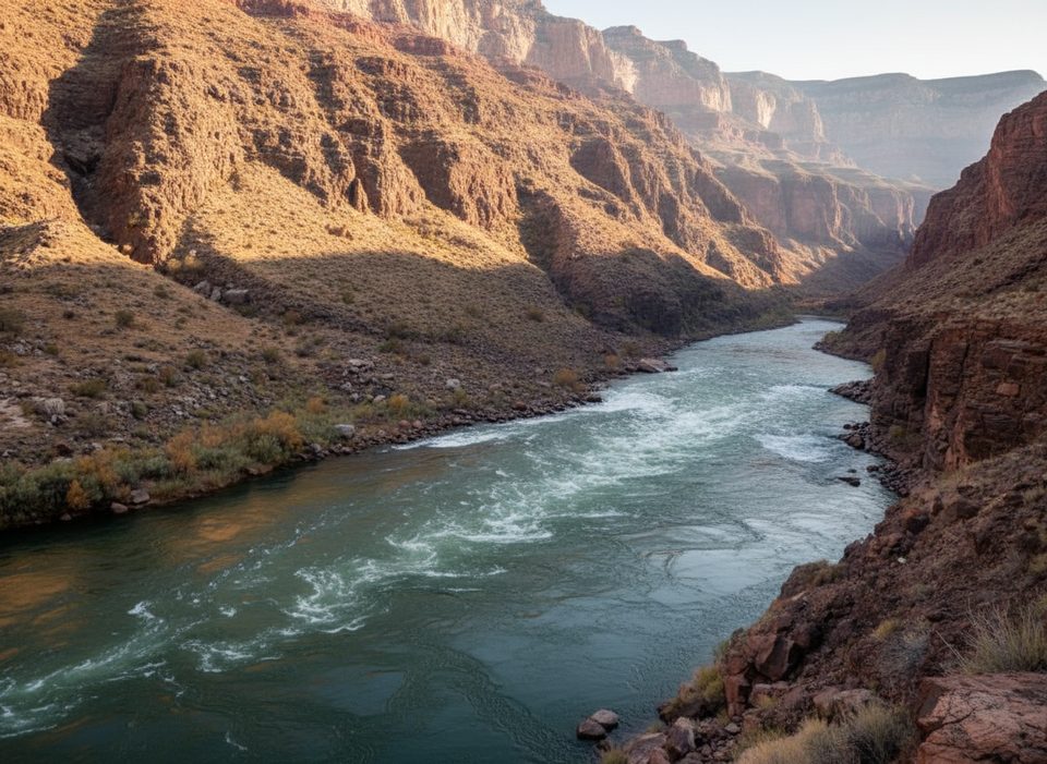
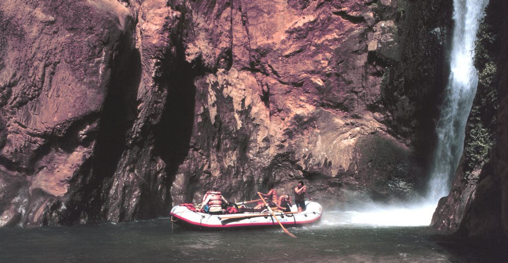
Where Tapeats Creek pours into the Colorado, the collision turns into Tapeats Rapids—a loud, fast, and photogenic burst of whitewater tucked deep in the canyon. It’s a favorite waypoint for river runners and a hard-won highlight for backpackers on the Thunder River–Tapeats Creek loop.
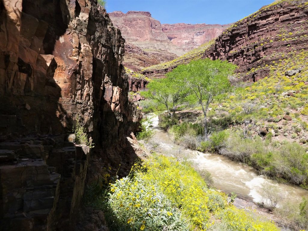
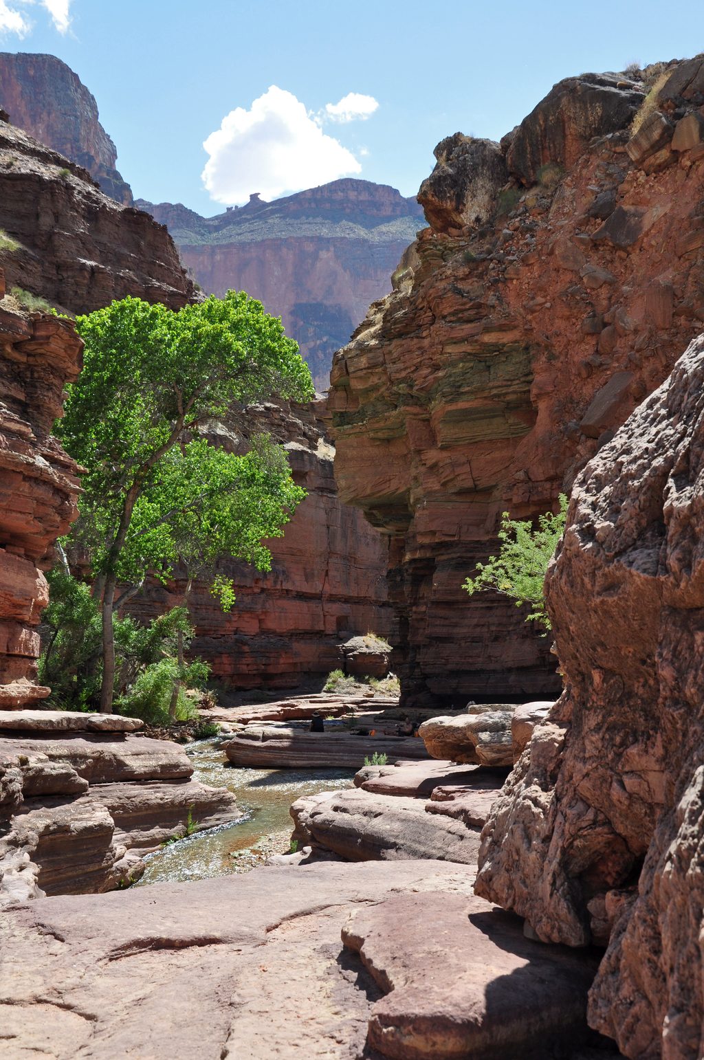
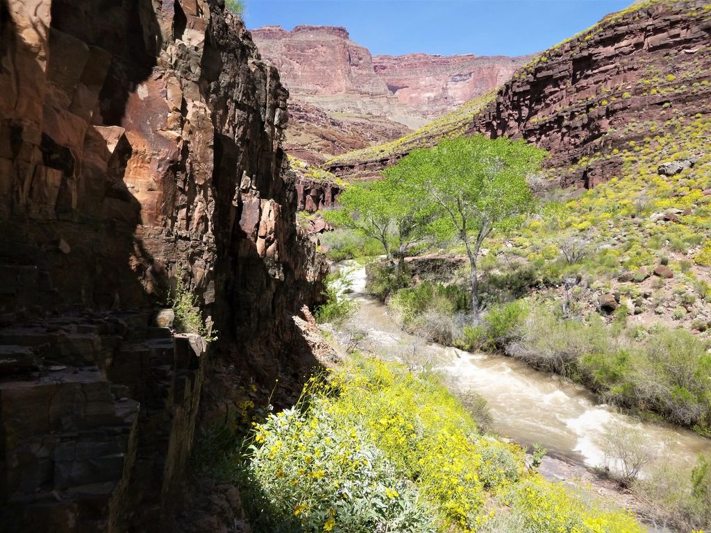
The contrast here is striking: a lush, spring-fed creek lined with green riparian life meets the desert walls and big water of the main river. Clear Tapeats water visibly blends into the Colorado, and the constant roar of the rapid amplifies the sense of wildness.
This is a remote backcountry stop. River runners float right to it. Backpackers reach the area via rugged routes tied into the Thunder River–Tapeats Creek loop, with steep, exposed sections and creek crossings. There’s a primitive backcountry camp nearby at Lower Tapeats (flat sand and shade, but no facilities); the nearest toilet is upstream at Upper Tapeats.
Grand Canyon rapids are rated on a 1–10 scale and change character with flow. A left‑of‑center line is commonly shown for Tapeats Rapid under some conditions; always scout and run what the day’s water gives you. Many river trips add a short, ~0.8-mile hike to kayak a brief (~0.6-mile) section of Tapeats Creek back to the river—best when the creek is running clear and you have the proper trip permits.
Tapeats Creek crossings can be serious, especially in spring or after storms, and incidents here have been fatal. Expect narrow trail sections with exposure, loose rock, and swift water. Trekking poles, sturdy footwear, and waterproofing for gear are smart moves; treat all creek/river water before drinking.
Tapeats Creek emerges from the Muav Limestone and is tied to one of the canyon’s signature layers—the Tapeats Sandstone—on display in the nearby cliffs. The creek’s big spring flow feeds the rapid at the confluence. The name traces back to the Second Powell Expedition (1871–1872).
Lower Tapeats Camp sits just upstream with shade and creek access but no built amenities; it can feel busy in peak season. All camping is by backcountry permit, and you must pack out all trash.
Place · 1.8 mi away
Place · 1.8 mi away
Place · 1.9 mi away
Place · 2.5 mi away
Challenging · 5 mi away
Challenging · 5 mi away
Challenging · 5 mi away
Challenging · 5 mi away

Parkwolf Tour Guide
