
Place · 3.1 mi away
Challenging
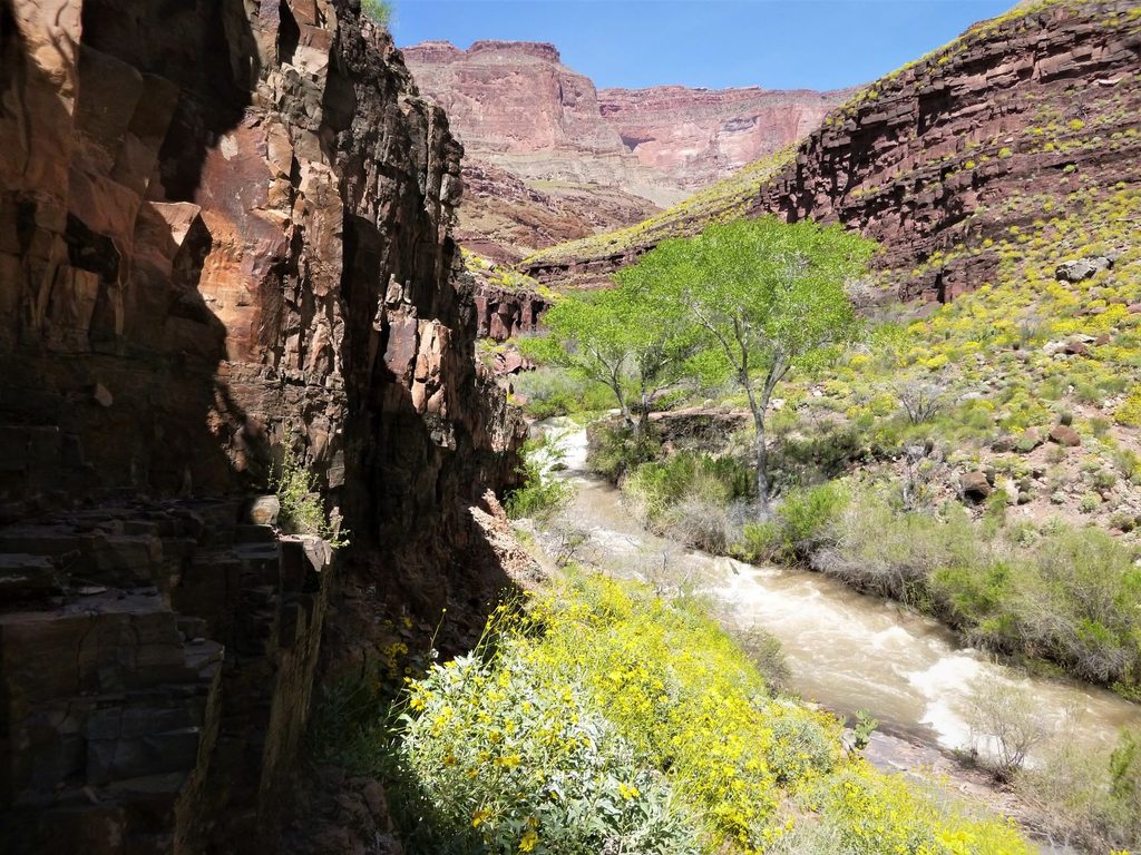
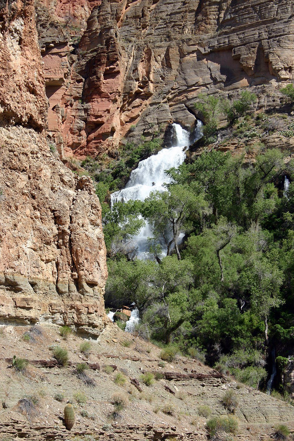
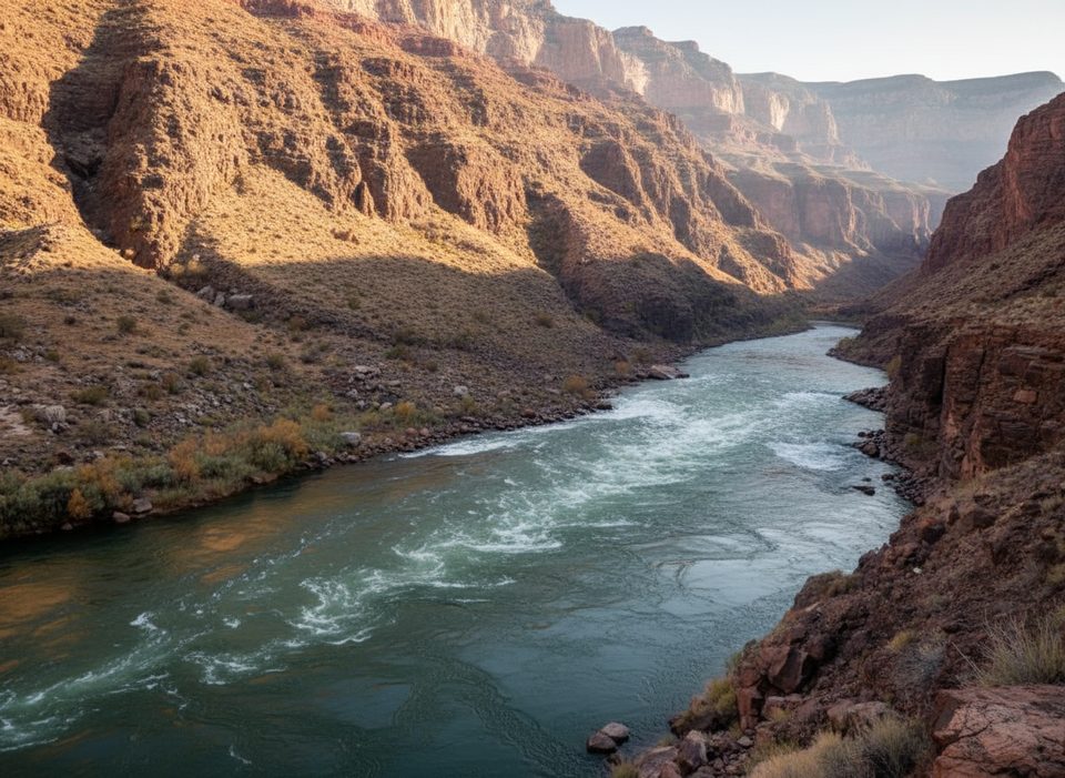
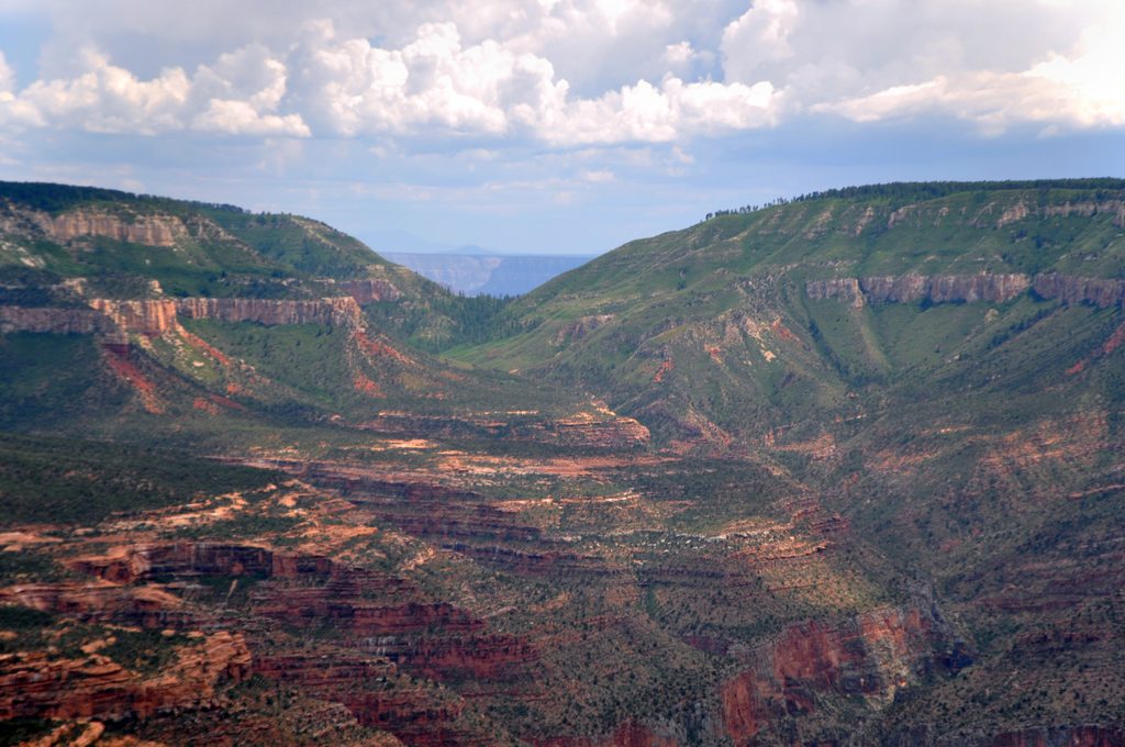
If you’re hunting for the Grand Canyon’s most surreal water moment, this is it. Thunder Spring blasts straight out of a limestone cliff and becomes Thunder River in seconds—lush, loud, and impossible to forget. Getting there is no gimme: from the North Rim you descend steep, exposed terrain to the Esplanade, pick your way cairn-to-cairn across broad slickrock, then drop into oven‑hot Surprise Valley before reaching the spring, Tapeats Creek, and—if you keep going—the Colorado.
Length-wise, plan for roughly 17 miles one way from the upper Thunder River Trail to the Colorado River, with key junctions at the Bill Hall Trail (~7 miles) and Deer Creek Trail (~14 miles). Most backpackers approach via the Bill Hall Trailhead at Monument Point (or Indian Hollow), commonly linking Thunder River with Tapeats Creek and sometimes Deer Creek for a loop. Day-hiking to the river and back is not advised; this is a multi-day, expert-level canyon trip.
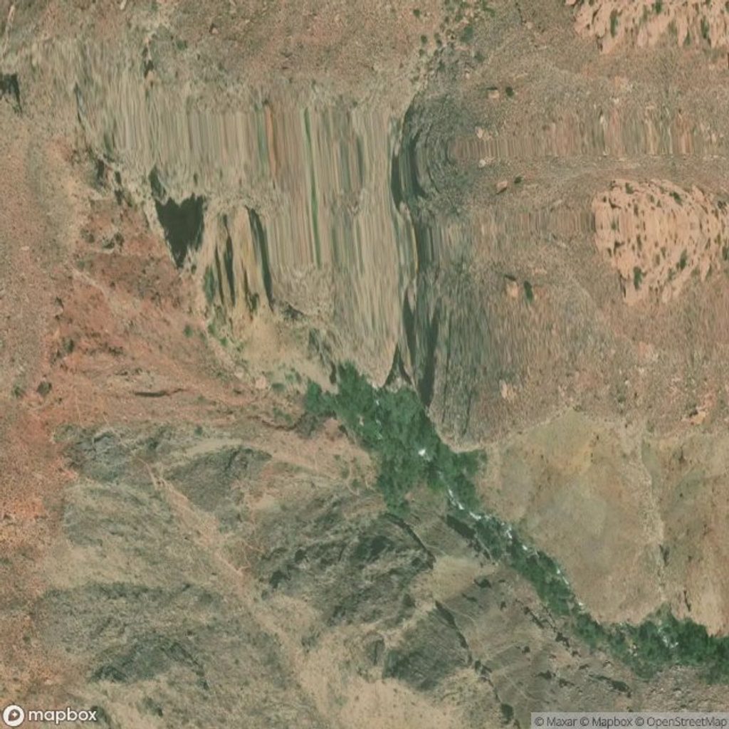
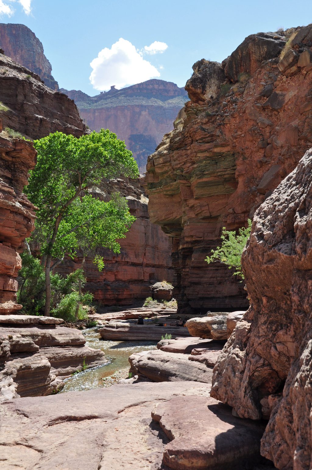
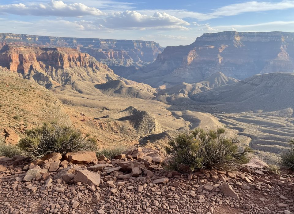
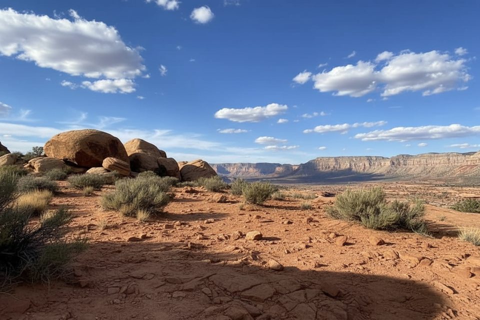
What you’ll see: the open, view-soaked Esplanade; the stark heat bowl of Surprise Valley; then the instant oasis at Thunder Spring and the perennial, pool-dotted Tapeats Creek. The contrast—arid slickrock to lush riparian corridor—draws wildlife and makes this route feel unlike most Grand Canyon hikes. Geology geeks get classic layers plus the dramatic spring bursting from limestone.
Trail reality check: footing is rugged with loose rock and narrow ledges; route-finding matters (especially across the Esplanade and near the river), and the exposure to sun in Surprise Valley can be brutal. Expect remote dirt-road access to the trailhead and zero services. Water is reliable at Thunder Spring, Tapeats Creek, and the Colorado, but treat everything and consider caching water on the Esplanade.
Permits and regs: overnight trips require a Grand Canyon backcountry permit. Popular camps cluster on the Esplanade, near Thunder River, and along Tapeats Creek. If you extend to Deer Creek, note the restriction in the narrows (no climbing or rappelling between the Patio and the base of Deer Creek Falls).
Best time to hike: spring and fall. Temperatures are more manageable, and lighting is kind to both the slickrock and the falls. Avoid mid-summer—Surprise Valley becomes dangerously hot—and watch late summer/fall for monsoon thunderstorms and flash floods in side canyons. Winter can leave approach roads snowy or muddy.
Bottom line: for strong, prepared backpackers, this is one of the canyon’s most spectacular adventures. If you want similar solitude with less heat exposure, consider other North Rim backcountry routes, but none match the sheer drama of Thunder Spring and the Thunder River–Tapeats combo.
Park at Bill Hall Trailhead (Monument Point). Access is via long, rough forest roads with no services; allow extra time. Indian Hollow is an alternate access point.
Extremely strenuous with steep, exposed sections; intense heat in Surprise Valley; limited shade; route-finding across slickrock; flash flood risk in side canyons; treat all water; remote roads with no cell service. Overnight permit required.
Place · 3.1 mi away
Place · 3.1 mi away
Place · 3.2 mi away
Place · 5 mi away
Challenging · 0 mi away
Challenging · 0 mi away
Challenging · 0 mi away
Challenging · 3.6 mi away

Parkwolf Tour Guide
