
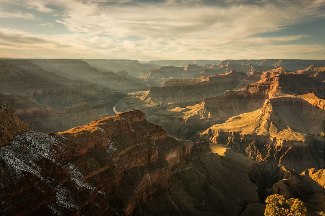
All Grand Canyon places
96 places
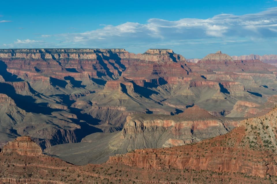 1Mather PointTwo rim platforms make an easy first look into the canyon.
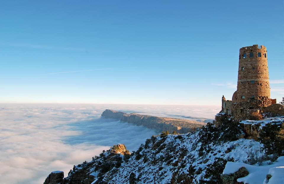 2Desert View WatchtowerColter’s stone tower frames the Colorado River from the South Rim.
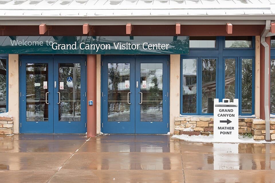 Grand Canyon Visitor CenterGet your bearings, then take the short walk to Mather Point.
 3Yavapai Geology MuseumA geology lesson with the canyon spread out in front of you.
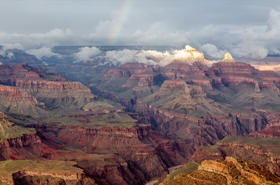 4Hopi PointWalk the long point for five views of the Colorado River.
 5Toroweap OverlookA 3,000-foot river drop, reached by a long, rough dirt road.
 6Point ImperialThe North Rim's highest lookout opens onto the Painted Desert.
 7Cape RoyalA 23-mile North Rim drive opens onto a 270-degree canyon view.
 8Bright Angel PointA high rim panorama framed by the canyon’s temple buttes.
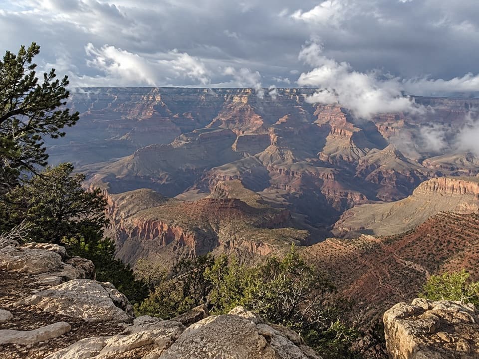 9Grandview PointA broad river view above a steep trail into canyon history.
 10Lipan PointThe South Rim's longest look along the Colorado River.
 11Hermits RestA stone rest stop with a fireplace worth stepping inside for.
 12Yaki PointTake the Orange shuttle to a quieter, east-facing canyon view.
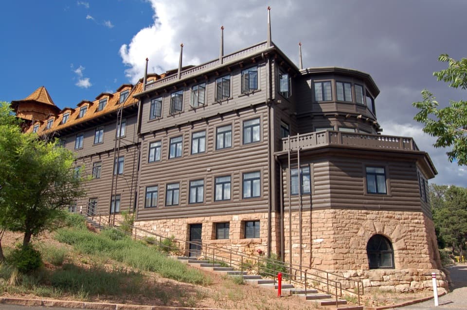 El Tovar HotelA storied 1905 hotel on the canyon's edge.
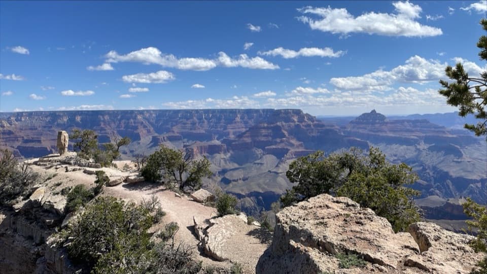 13Shoshone PointA two-mile forest walk leads to a quieter canyon-rim view.
 Phantom RanchA rare creekside night at the canyon floor.
 14Kolb StudioA rimside museum with a story that went down the Colorado River.
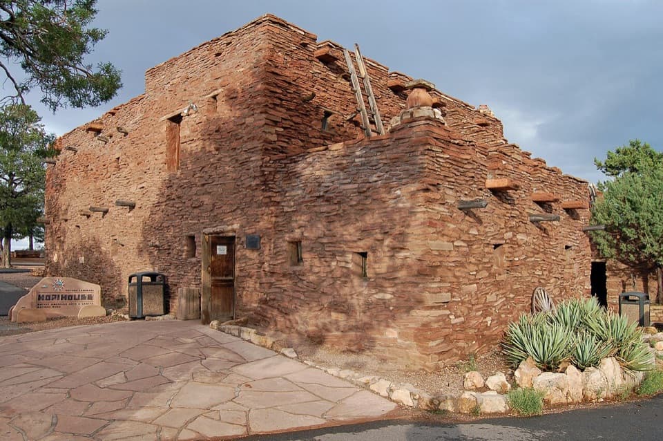 15Hopi HouseA 1905 landmark where architecture and art share a complicated history.
 16Navajo PointSouth Rim's highest overlook, with river views and an aviation memorial.
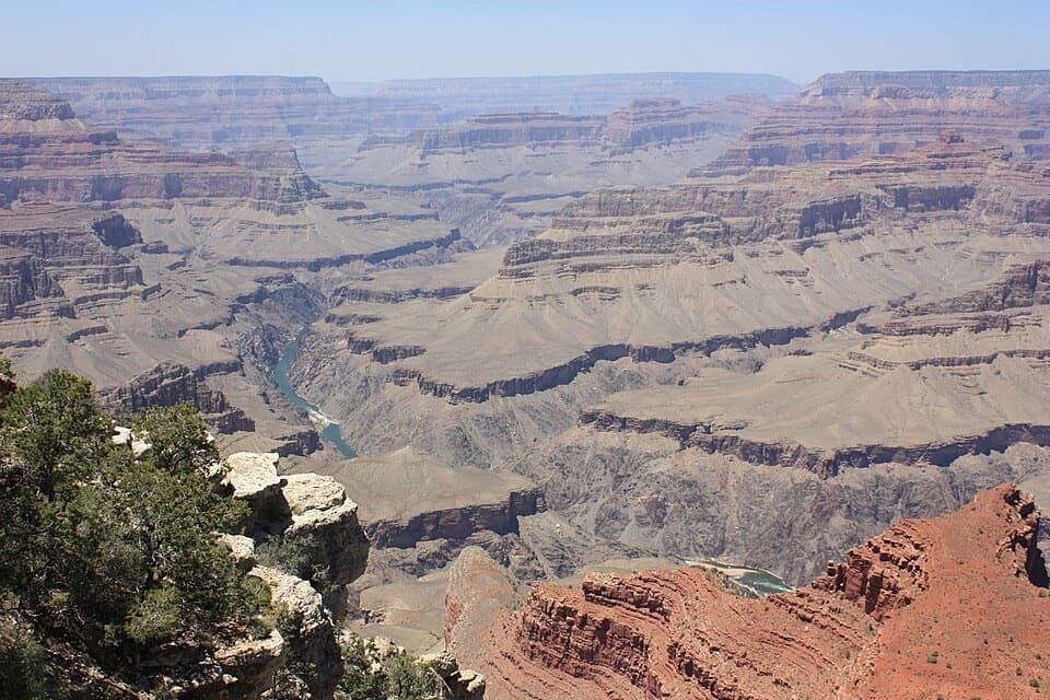 17Mohave PointSee the river and three named rapids from the rim.
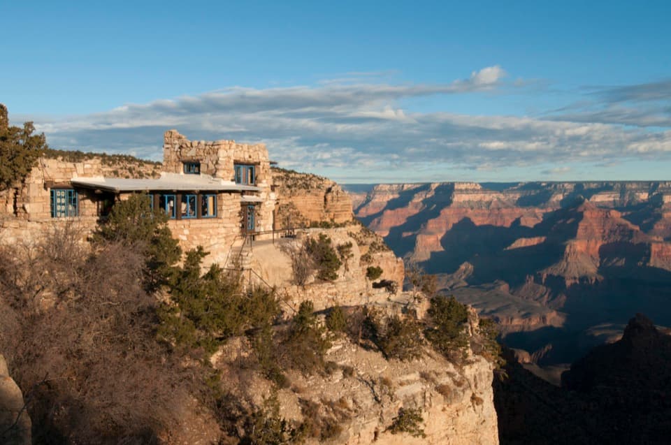 18Lookout StudioA stone lookout where Mary Colter framed the rim in 1914.
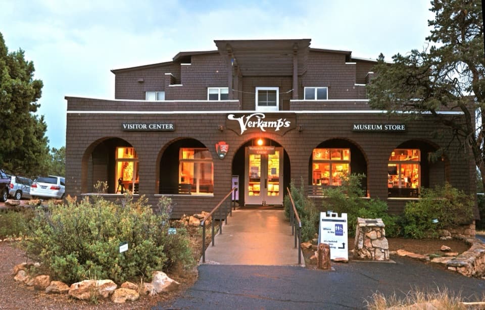 Verkamp’s Visitor CenterA walking timeline tells the story of a century-old canyon store.
 19Angels WindowThe Colorado River framed through a natural arch.
 20Pima PointSee the river, and sometimes hear Granite Rapids.
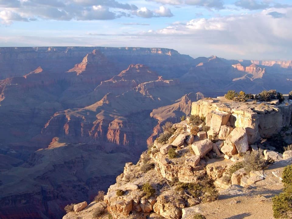 21Moran PointRead the canyon's tilted rock layers with the Colorado River below.
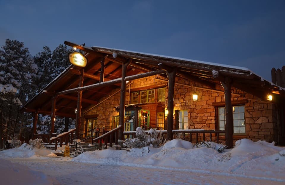 22Bright Angel LodgeA 10-foot fireplace turns canyon geology into a room's centerpiece.
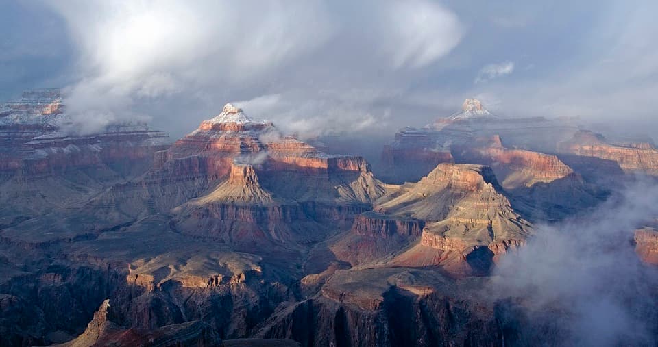 23Powell PointA Hermit Road overlook with Powell's memorial and wide canyon views.
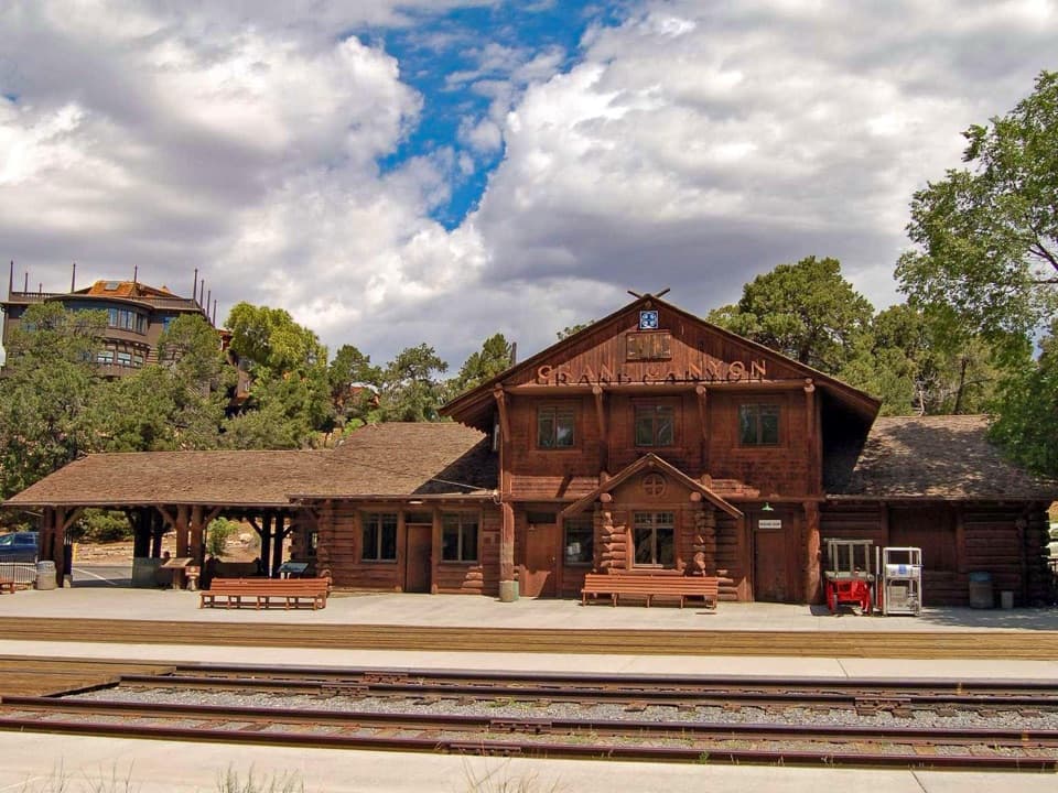 24Grand Canyon DepotA rare log station still in service after more than a century.
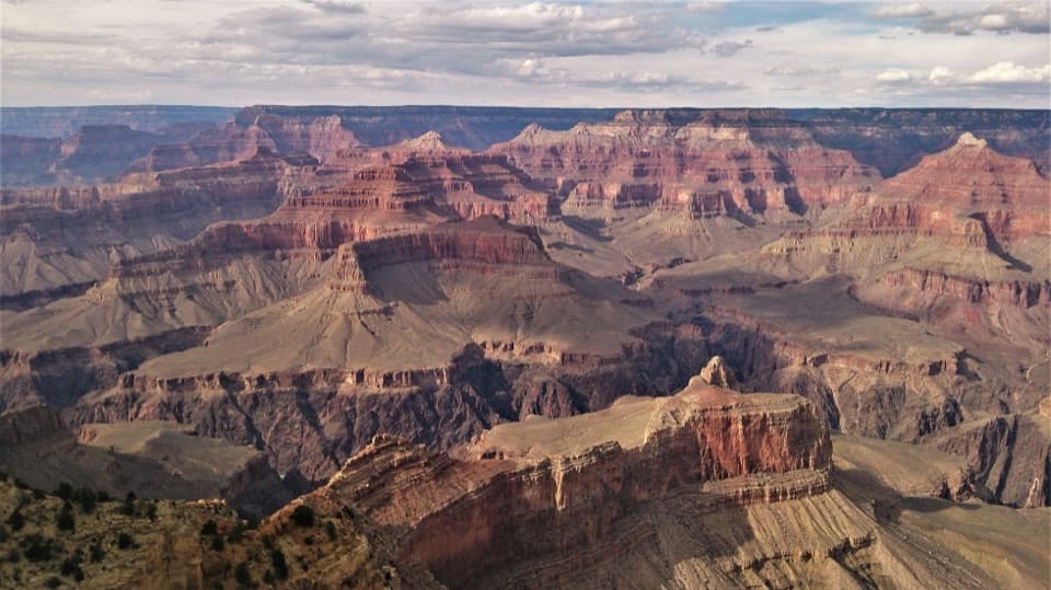 25Maricopa PointA wide panorama with old mine scars and a tiny river glimpse.
 26Cape FinalA 4.2-mile forest hike ends with a wide canyon panorama.
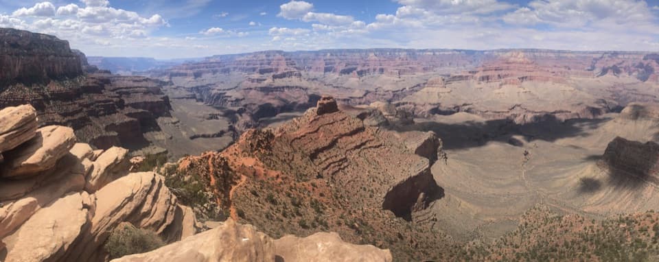 27Ooh Aah PointFirst canyon panorama below the rim, with a steep climb back.
 28Grandeur PointSee Bright Angel Trail’s switchbacks cut across the canyon wall.
 29Walhalla OverlookA broad Unkar Delta view, with a pueblo across the road.
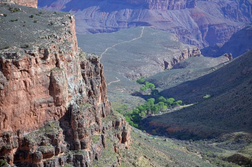 Havasupai GardensA shaded break on the canyon corridor, with Havasupai history.
 30Walhalla Glades PuebloA short walk to a 900-year-old pueblo home site.
 31Plateau PointA long hike earns a sweeping view of the Colorado River.
 32Point SublimeA near-270° canyon panorama at the end of a rough-road outing.
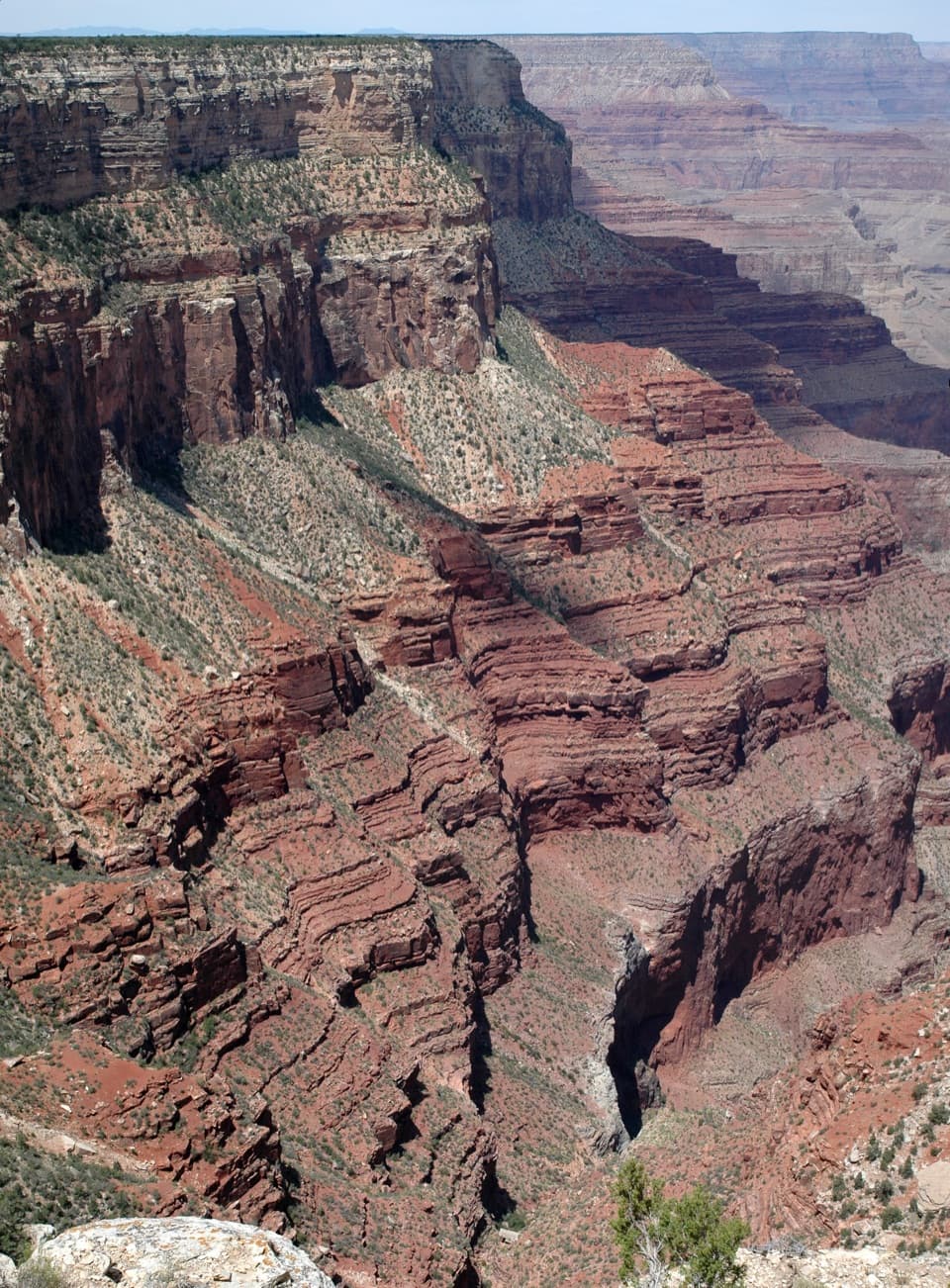 33The AbyssA near-vertical look into the Monument Creek drainage.
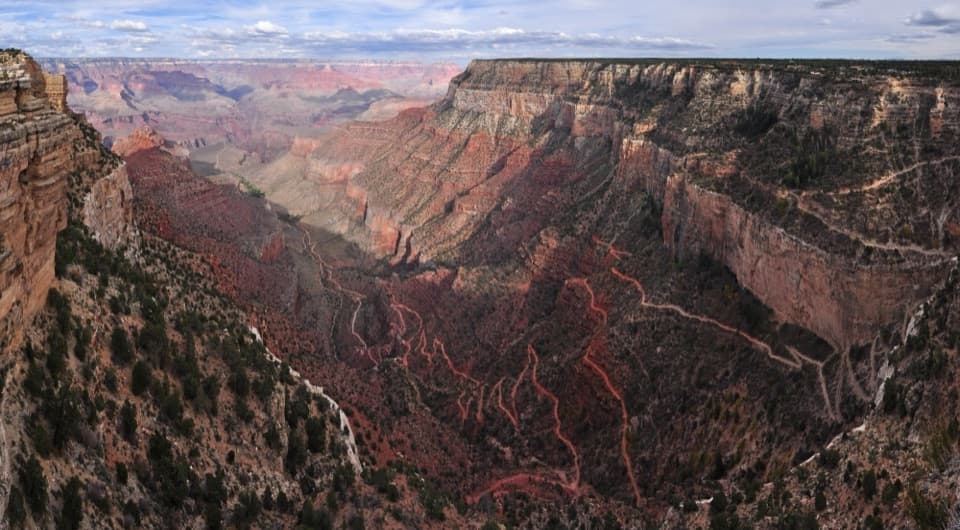 34Trailview OverlookClose views of Bright Angel’s switchbacks, after a short stair walk.
 35Roosevelt PointA short walk finishes at an east-facing canyon panorama.
 36Pipe Creek VistaA canyon view framed by Mather and Yaki points.
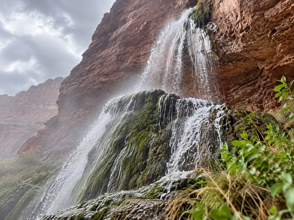 37Ribbon FallsA shaded waterfall and pool deep in the inner canyon.
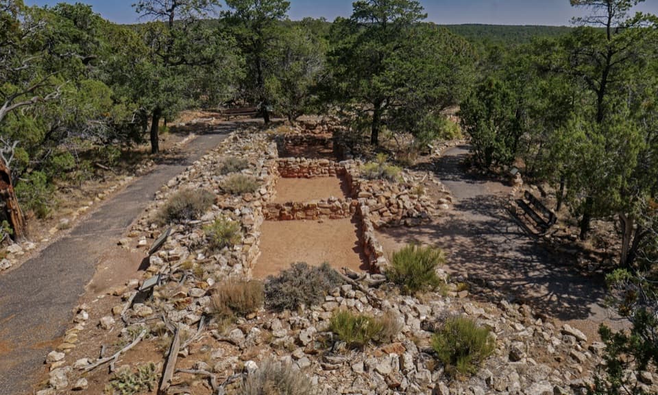 38Tusayan Pueblo SiteSee the plan of an Ancestral Pueblo village on a short loop
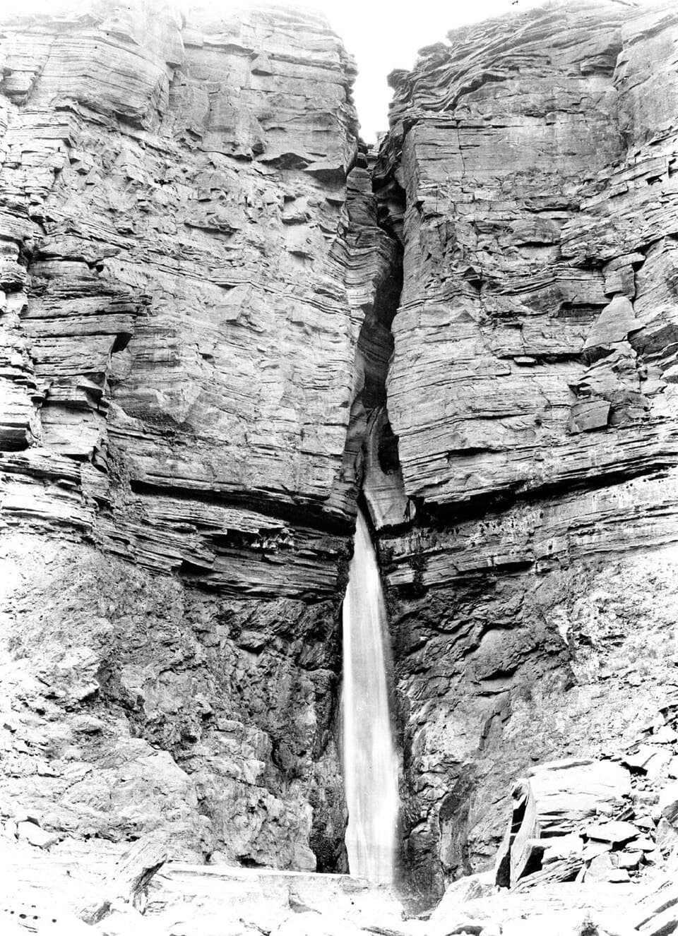 39Deer Creek FallsA 180-foot plunge where Deer Creek meets the Colorado
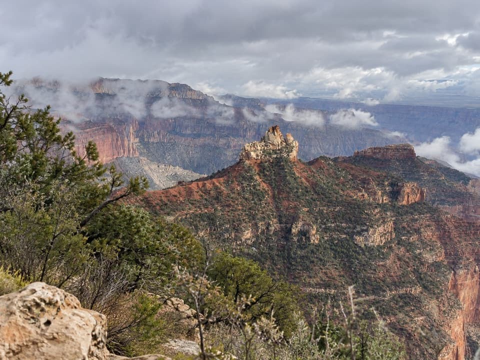 Vista EncantadaA pine-shaded picnic stop above the North Rim’s layered cliffs.
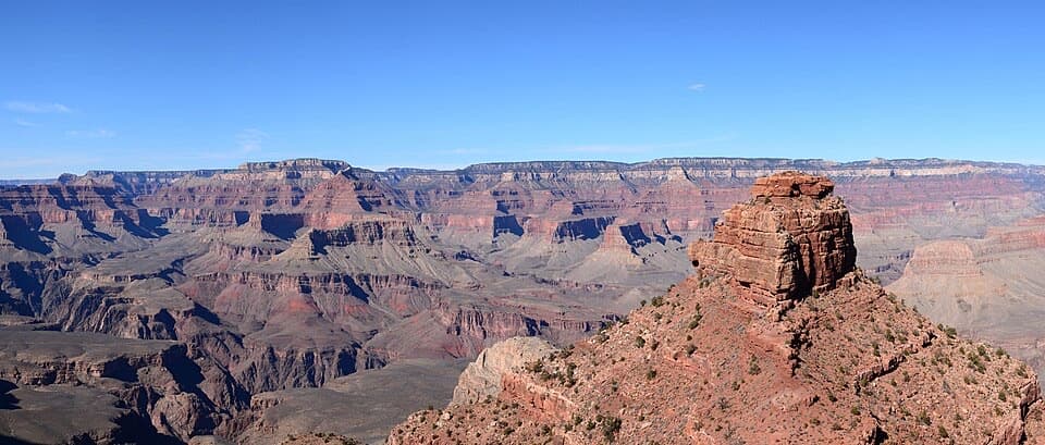 40Cedar RidgeA good first canyon hike, with wide views of O’Neill Butte.
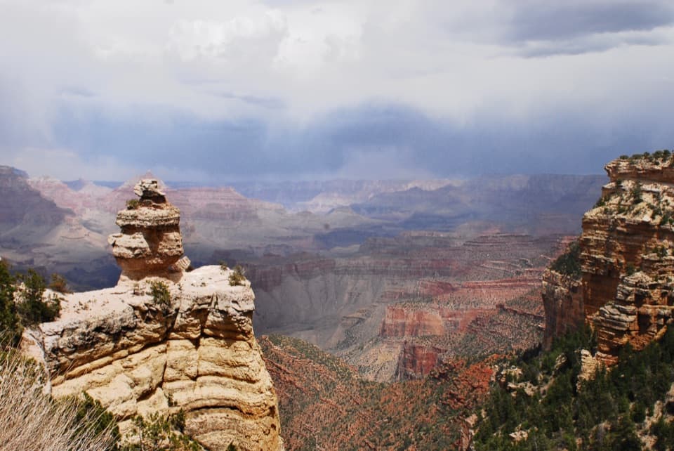 41Duck on a RockA named rock profile makes this quick canyon pullout memorable.
 42Coconino OverlookA steep 1.4-mile out-and-back earns a Roaring Springs Canyon view.
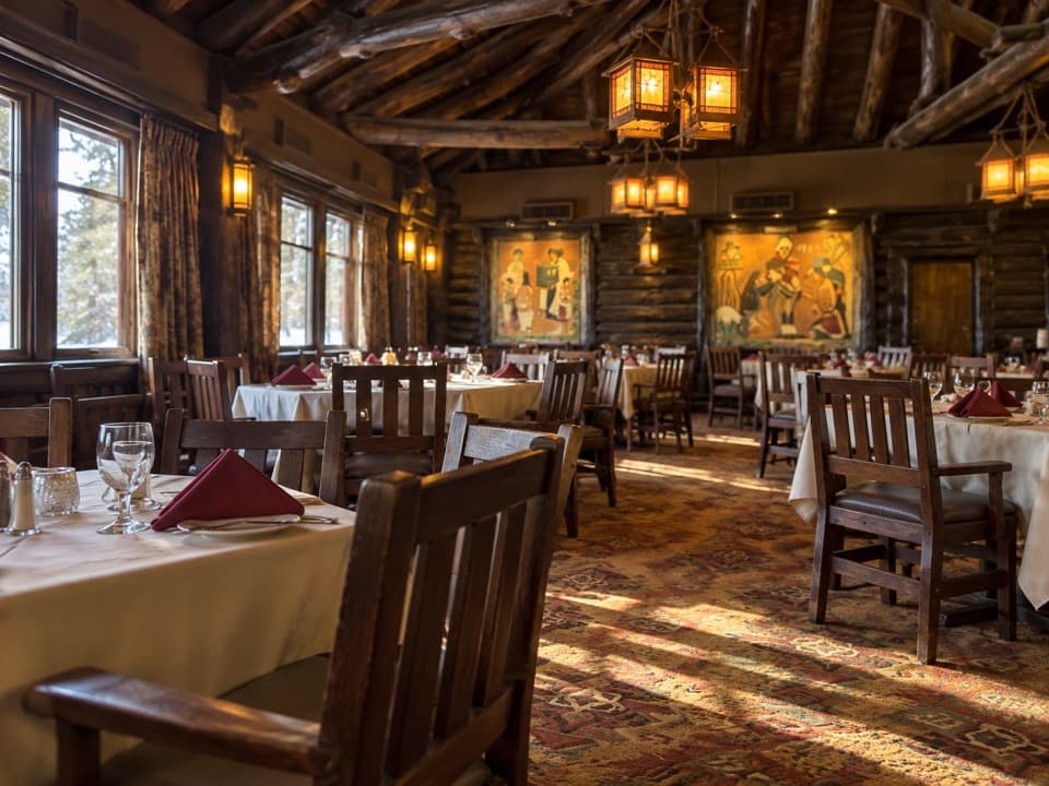 El Tovar Dining RoomA landmark room and canyon-view seats turn dinner into an occasion.
 43Bright Angel Fault Fossil BedsSpot marine fossils in the limestone that forms the rim.
 44Supai TunnelA four-mile hike to a tunnel framing streaked sandstone.
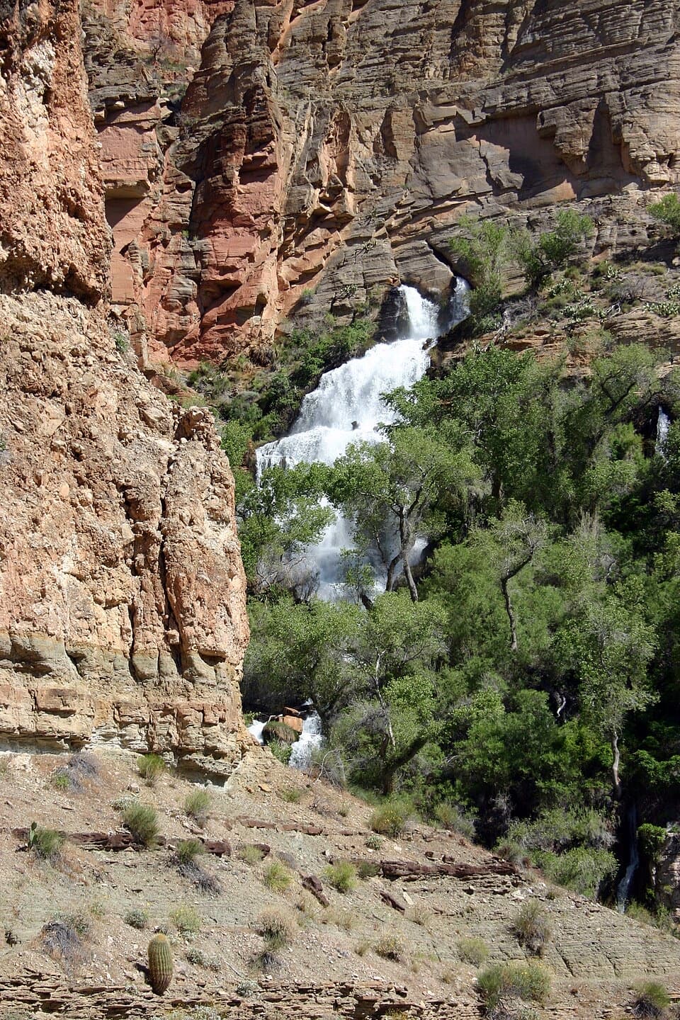 45Thunder River FallsA spring-fed oasis worth a serious backpacking commitment.
 46Skeleton PointThe river view is earned on a 6-mile out-and-back.
 47Twin OverlooksTwo quick pullouts for a big canyon view from the road.
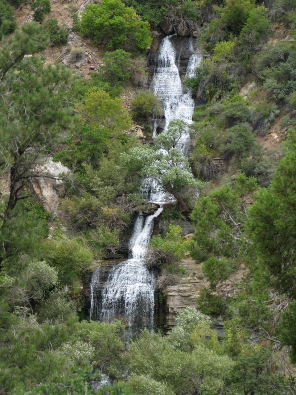 48Roaring SpringsA lush waterfall at the end of a steep canyon hike.
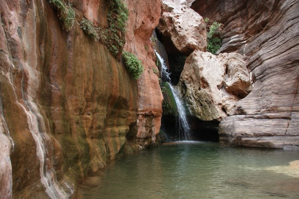 49Elves ChasmA waterfall pool tucked off the Colorado River.
 50Monument Creek VistaA quick view of Monument Creek and Granite Rapid.
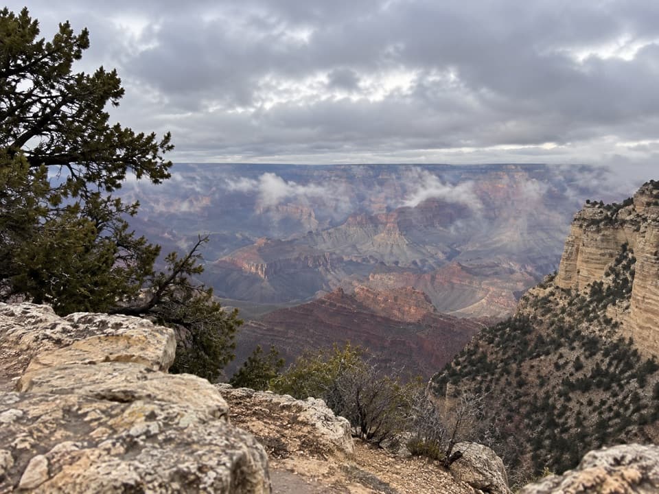 51Thor’s OverlookA quick canyon break along Desert View Drive.
 Jacob Lake InnCookies, cabins, and a meal before the North Rim drive.
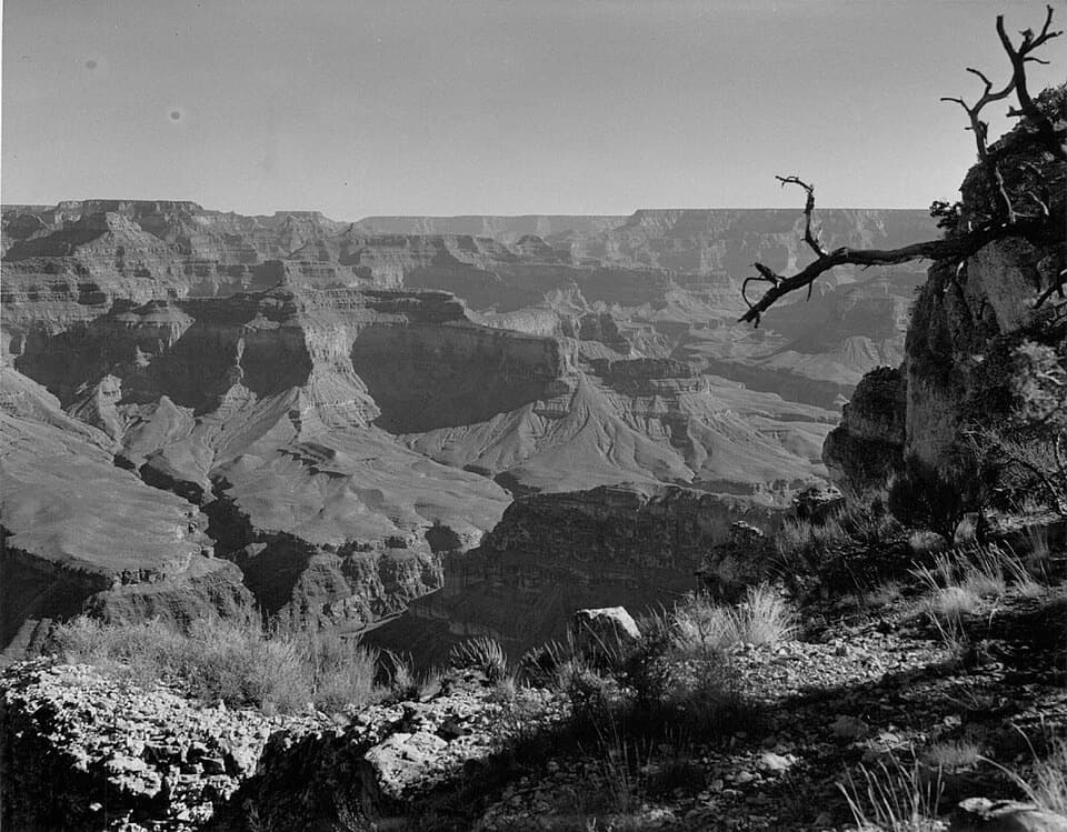 52Havasupai PointA remote South Rim viewpoint for a deliberate backcountry trip.
 53No Name PointA quick stop for a far-reaching northward canyon view.
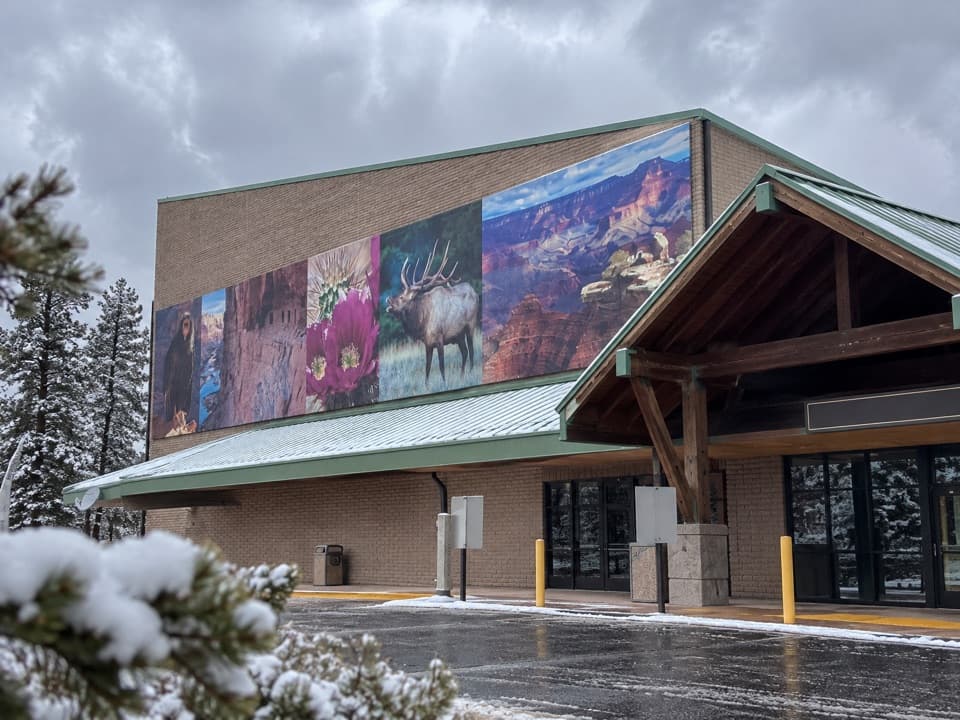 54Grand Canyon Visitor Center IMAXA big-screen canyon primer before the South Rim.
 Canyon Adventures Bike Tours & CaféThe park's only bike rental opens up more of the South Rim.
 Canyon Village Market & DeliA useful South Rim resupply stop for groceries and camping gear.
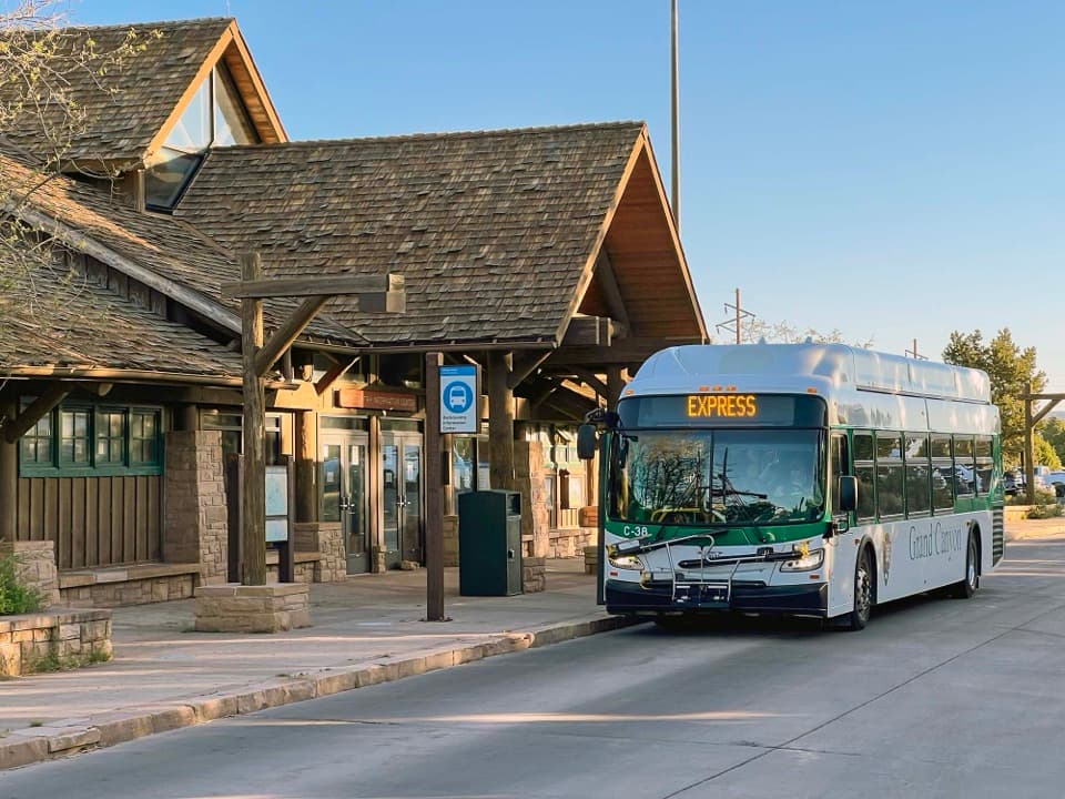 Backcountry Information CenterGet a backcountry plan from staff before you head below the rim.
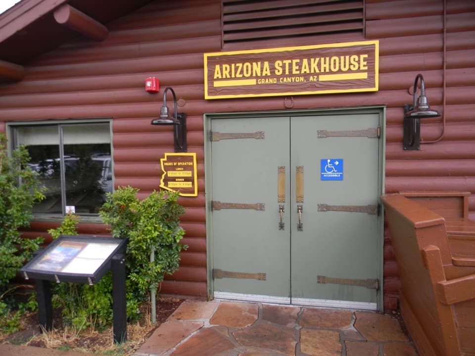 Arizona SteakhouseRegional ingredients give this steakhouse a distinct Arizona streak.
 Yavapai LodgeA practical Market Plaza base, with a paved path to the rim.
 Maswik LodgeA pine-shaded base, with the rim a short walk away.
 Mather CampgroundA pine-shaded base for exploring the South Rim.
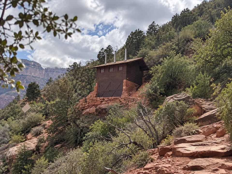 55Mile-and-a-Half ResthouseA shaded rest stop, 1½ miles below the South Rim.
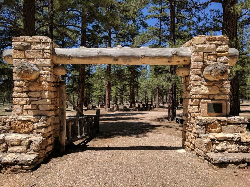 56Grand Canyon Pioneer CemeteryA small cemetery that makes South Rim history personal.
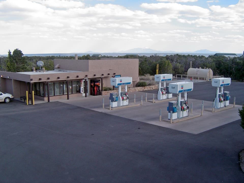 Desert View Gas StationFill up here before the next pump, 30 miles down the road.
 Desert View Market & DeliQuick groceries, deli food and camping basics at Desert View.
 Desert View Trading Post and Ice CreamA canyon-facing scoop after browsing handmade crafts.
 North Rim Country StoreA practical fuel stop on Highway 67 into the North Rim.
 Buggeln Picnic AreaA shaded lunch break with a ranching past.
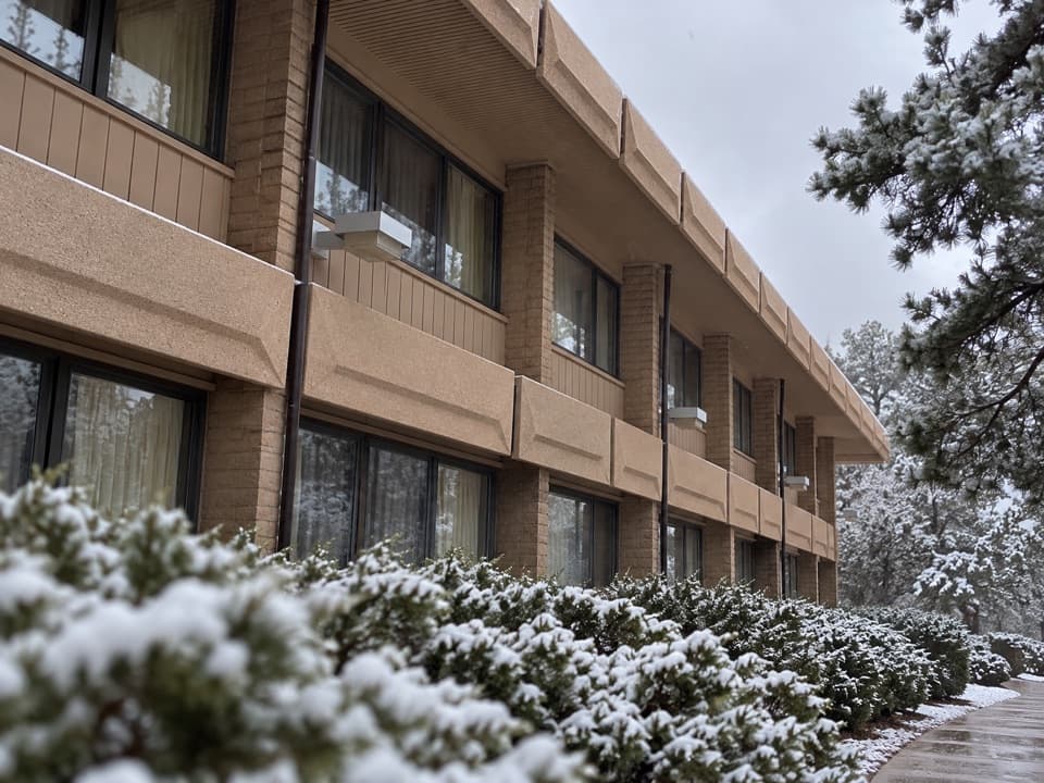 Kachina LodgeA Mission 66 lodge right on the South Rim in the Village.
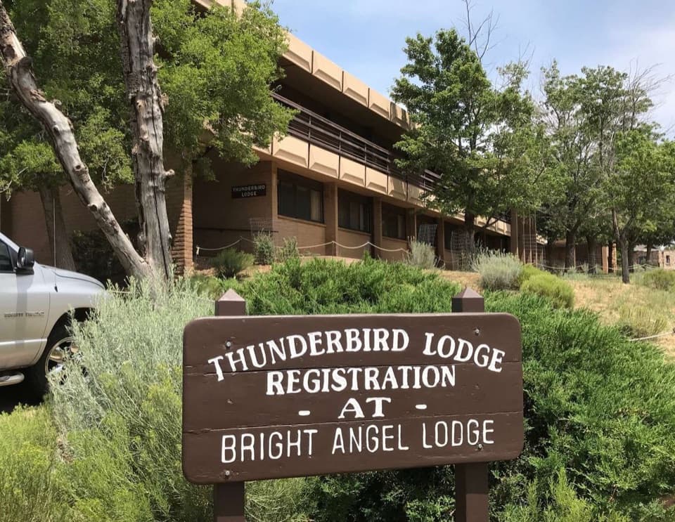 Thunderbird LodgeSome rooms have canyon views; the Rim Trail is right outside.
 Bright Angel CampgroundEarn a creekside night in the canyon's cottonwood shade.
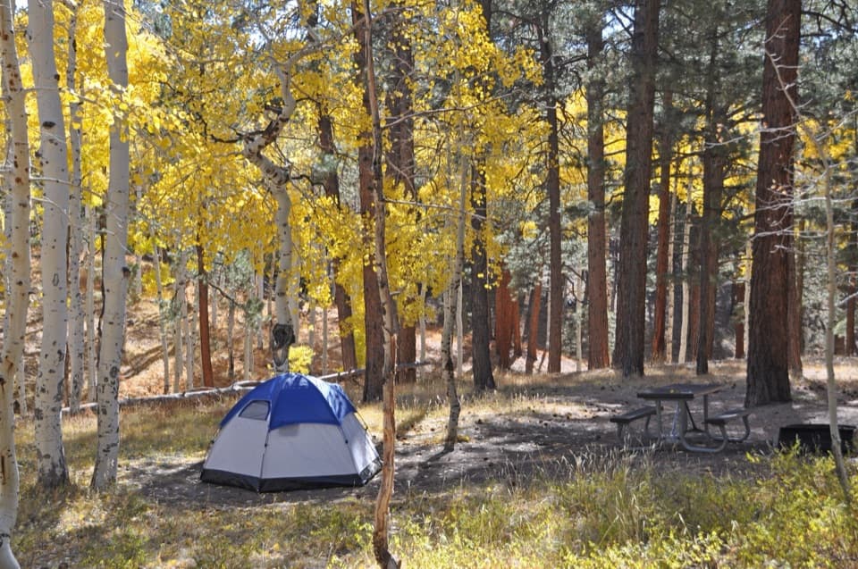 North Rim CampgroundA forested base for a North Rim stay.
 Desert View CampgroundCamp among junipers, then walk to the rim for sunrise.
 Trailer Village RV ParkA full-hookup RV base in Grand Canyon's South Rim village.
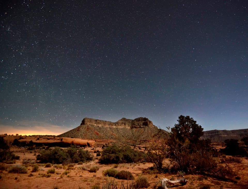 Tuweep CampgroundA primitive camp beside Toroweap's dark skies and lava country.
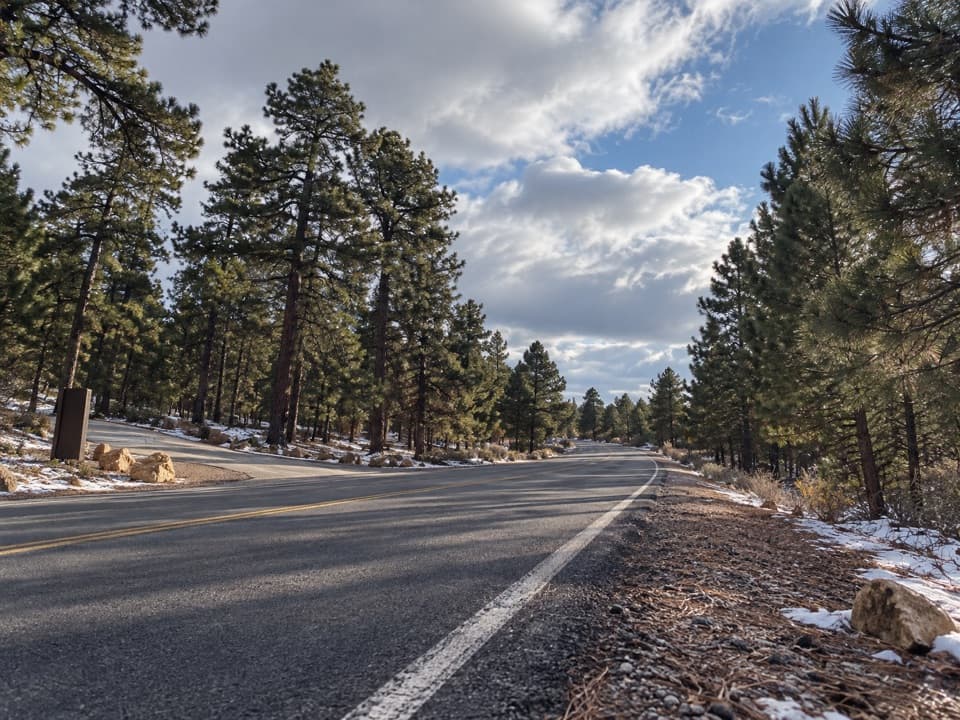 Yaki Point Road Picnic AreaShaded picnic tables near South Kaibab; the lot is very limited.
 Cottonwood CampgroundSleep beneath the canyon walls beside Bright Angel Creek.
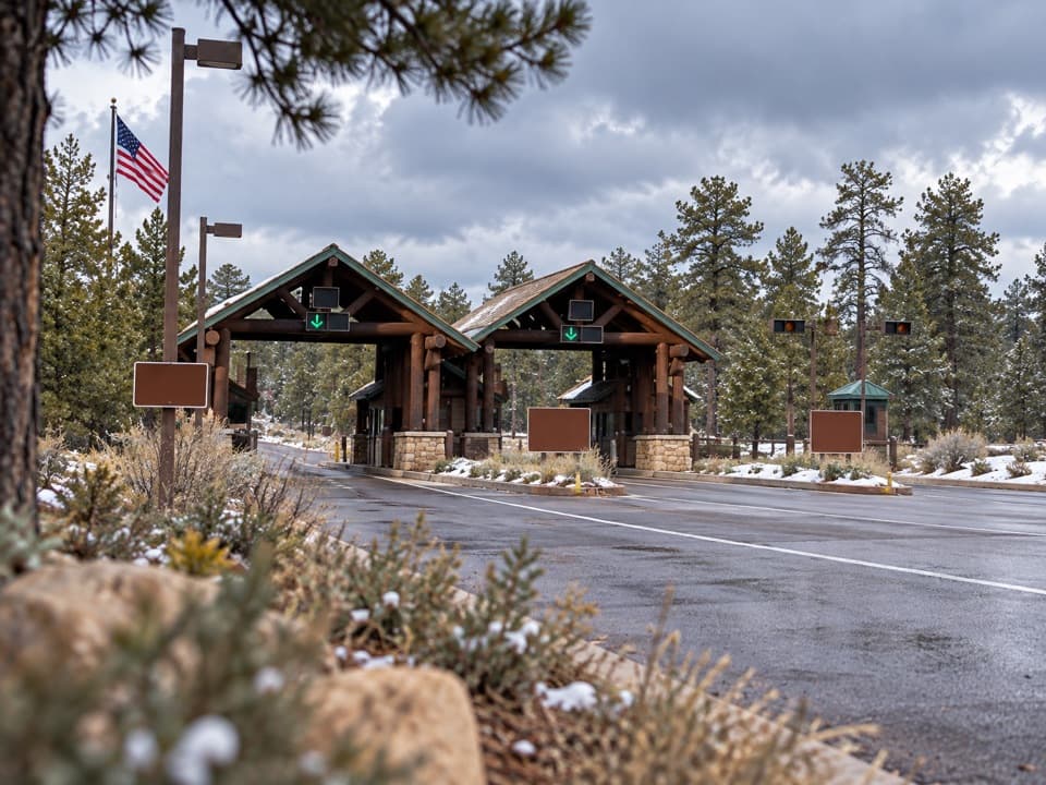 South Entrance StationSort your pass and map before the drive onto the South Rim.
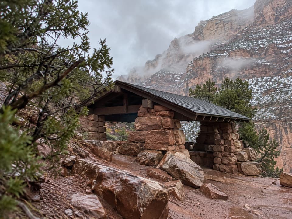 57Three-Mile ResthouseA canyon rest stop halfway through a strenuous Bright Angel hike.
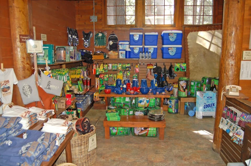 North Rim General StoreA seasonal shop for campground supplies and trail snacks.
 Desert View Entrance StationEastern gate to Desert View, often less crowded than the South Entrance.
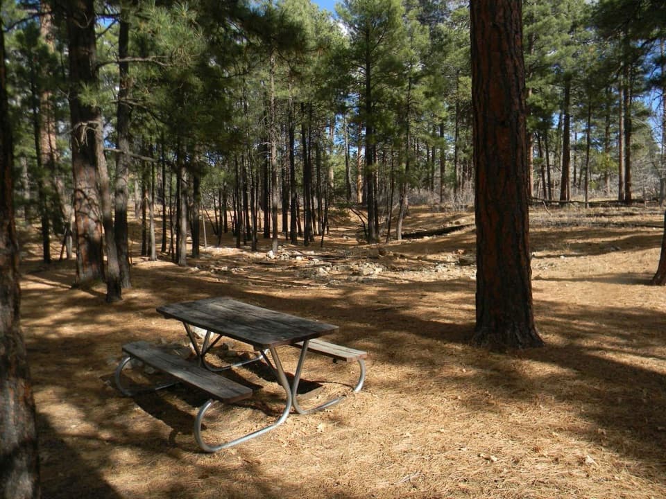 Long Jim Road Picnic AreaPine-shaded picnic tables just off Desert View Drive.
 North Rim Service StationA seasonal fill-up just beyond the campground turn.
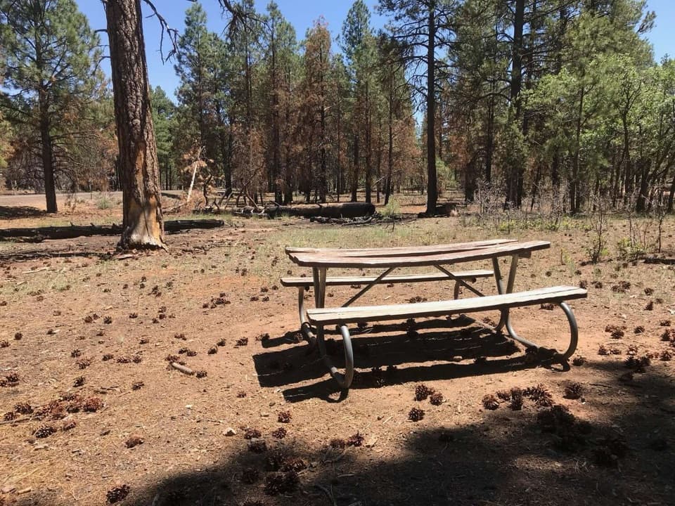 Range Road Picnic AreaA practical picnic break beneath the pines along Desert View Drive.
 North Rim Entrance StationThe park checkpoint, with another 13 miles to the canyon rim.
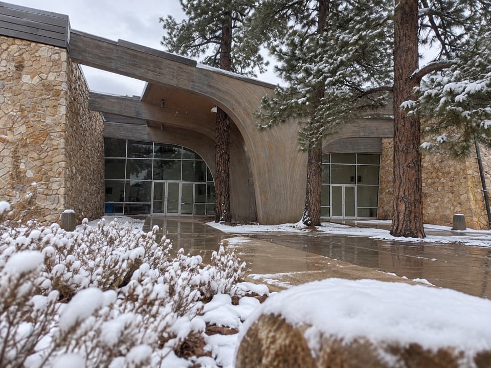 58Shrine of the AgesA community hall born from an interfaith chapel plan for the rim.
 Grand Canyon KennelA South Rim kennel for visitors traveling with dogs or cats.
 Grand Canyon ClinicUrgent care and family medicine in South Rim Village.

The highest, rockiest slopes around here are a summer buffet for grizzly bears.
Grand Canyon Tour Guide
Grand Canyon, narrated.
Parkwolf is a GPS audio tour guide for Grand Canyon National Park. As you drive, it chimes in with what’s ahead: hidden gems, upcoming stops, history, geology, and wildlife, right through your car’s speakers.
See the Grand Canyon audio tourRecorded for this place
Mather Point and Visitor Center0:00 / 0:32
“You're coming up on the Grand Canyon Visitor Center and the walk to Mather Point. For a big canyon view without a hike, this is an easy choice: park in the visitor-center lots and walk about five minutes to the rim.”
Plays as you drive up to Mather Point in the Parkwolf Grand Canyon Tour Guide.
More stories near here in the app
- Yavapai Geology Museum
- Trailer Village’s Full-Hookup RV Sites
- Market Plaza’s Grocery Stop
- Pioneer Cemetery and the Shrine
- 79 audio storiesacross Grand Canyon’s roads, triggered by GPS as you drive
- Wildlife heatmapsfor California Condor, Bighorn Sheep, American Bison, and 13 more
- Works offlinemaps, 73 trails, 96 places, and audio download before you lose signal
- CarPlay readysimple controls built for the drive
“Fantastic app with many points of information… It’s great to just turn on while you’re driving and it gives you an audio tour of the national Park. We love it!!!!”

