Parking
No road parking at the start. Monument Creek (BL7) is reached on foot by the Hermit/Tonto backcountry route, about 9.3 miles one way from Hermit Trailhead.
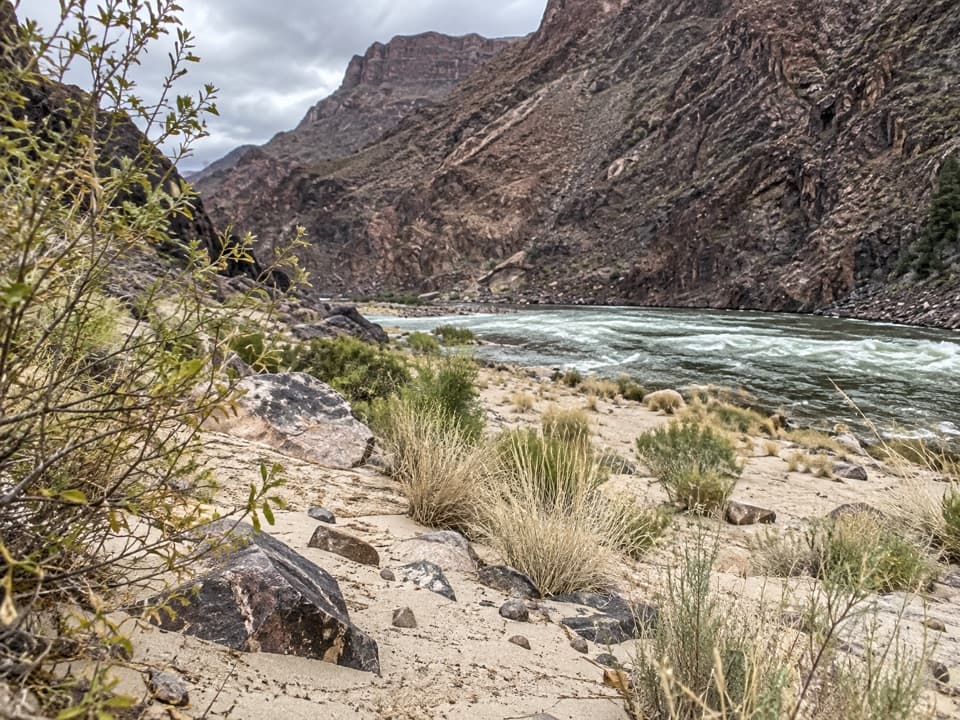
Grand Canyon National Park, AZ
A steep backcountry descent from Monument Creek to Granite Rapids.
Overview
Map & elevation
Plan your hike

The highest, rockiest slopes around here are a summer buffet for grizzly bears.
Grand Canyon Tour Guide
Parkwolf is a GPS audio tour guide for Grand Canyon National Park. As you drive, it chimes in with what’s ahead: hidden gems, upcoming stops, history, geology, and wildlife, right through your car’s speakers.
See the Grand Canyon audio tourRecorded for this area
Pima Point and the Cataract Plains“Up ahead is Pima Point, a good stop for seeing how the canyon opens toward the west.”
Plays on the road 1.1 mi from the trailhead in the Parkwolf Grand Canyon Tour Guide.
More stories near here in the app
“Fantastic app with many points of information… It’s great to just turn on while you’re driving and it gives you an audio tour of the national Park. We love it!!!!”


Trail guide
Monument Creek Trail is a 3.2-mile out-and-back from Monument Creek (BL7) on the Tonto Trail to Granite Rapids on the Colorado River. Plan on about 1.6 miles each way. Published mileages differ, with some implying a shorter segment, so treat the total as approximate and leave extra time.
There is no road access to this start. From Hermit Trailhead, the Hermit/Tonto approach to Monument Creek is about 9.3 miles one way, before the Granite Rapids out-and-back. For most visitors this is a remote backpacking extension, not a day walk from the rim. Overnight camping requires a backcountry permit.
The route drops about 675 feet to Granite Rapids, then climbs that grade on the return. It ends at the Colorado River shoreline, where a sandy bank meets whitewater and dark canyon walls. Carry all the water you need and treat natural water before drinking it; pets are not allowed below the rim.
Wildlife
 718 sightingsCalifornia CondorMost seen around 5 PMSighting map
 533 sightingsBighorn SheepMost seen around 7 AMSighting map
 169 sightingsAmerican BisonMost seen around 7 PMSighting map
 1,891 sightingsElkMost seen around 6 AMSighting map
 59 sightingsCoyoteMost seen around 6 PMSighting map
 27 sightingsGray FoxMost seen around 6 AMSighting map
Sighting maps show where each species has been reported across Grand Canyon. Wildlife moves, so no sighting is guaranteed.
Keep exploring
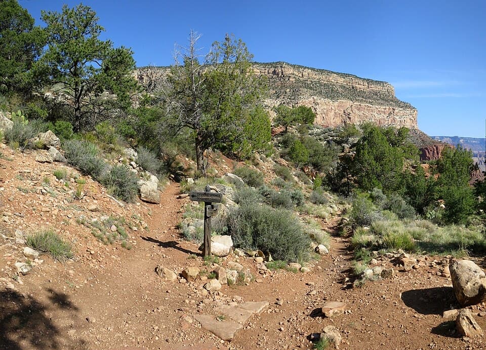 ChallengingDripping Springs Trail7 mi · 6 hr · 2.1 mi awayA steep canyon walk to Louis Boucher’s old spring camp.
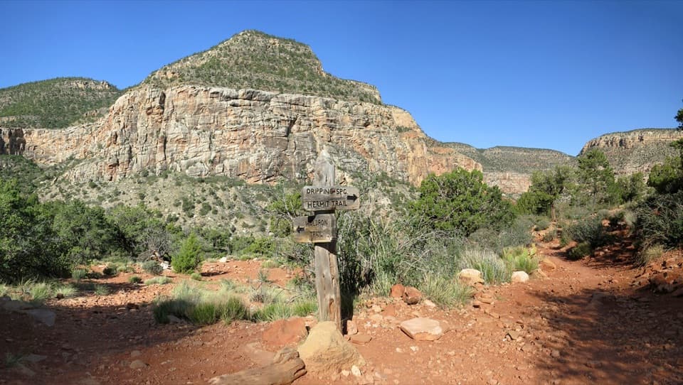 ChallengingWaldron Trail via Hermit Trail6.1 mi · 5 hr · 2.1 mi awayA steep descent, a quiet canyon crossing, then a switchback climb out.
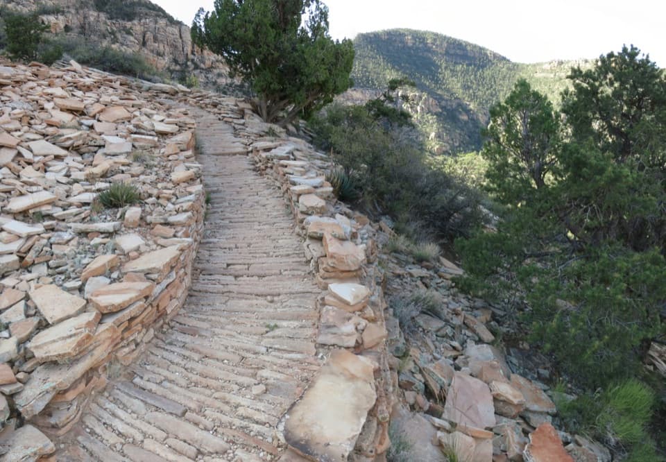 ChallengingHermit Trail9.7 mi · 8 hr · 2.1 mi awayA rough historic rim-to-river route that ends at Hermit Rapids.
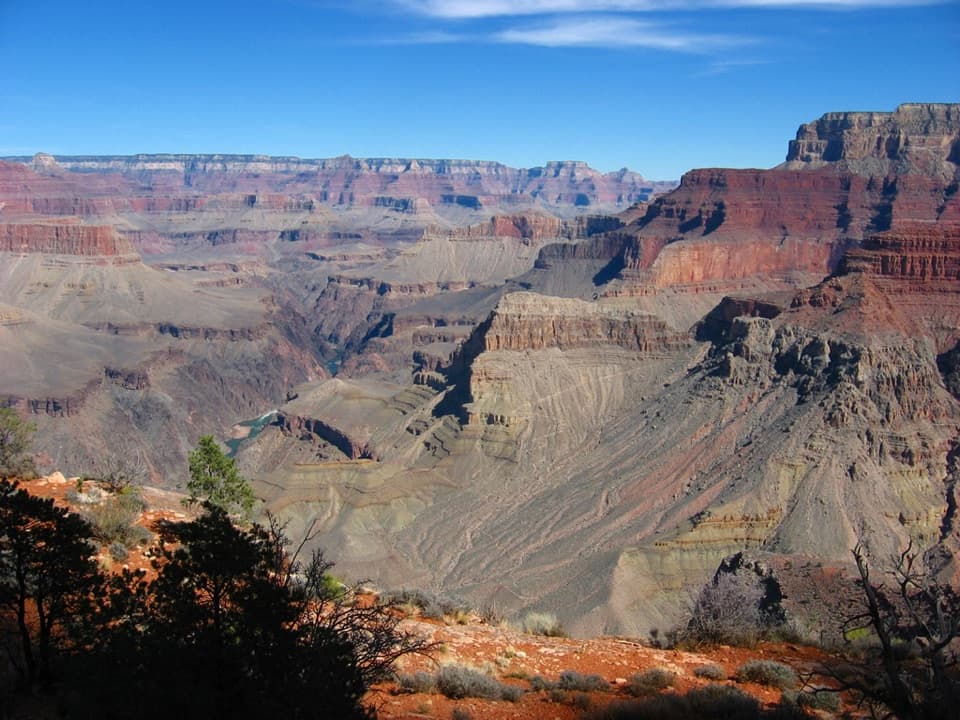 ChallengingBoucher Trail18.6 mi · 18 hr · 2.1 mi awaySteep canyon miles to a prospector’s old creekside camp.
 ChallengingPlateau Point Trail12 mi · 10.5 hr · 3.2 mi awayA long descent earns a wide view of the Colorado River.
 ChallengingBright Angel Trail7.8 mi · 4.5 hr · 3.2 mi awayCanyon layers, mule trains and a 4,400-foot descent to the river.
 EasyThe Trail of Time3.3 mi · 2 hr · 4.2 mi awayA paved timeline where every meter spans a million years.
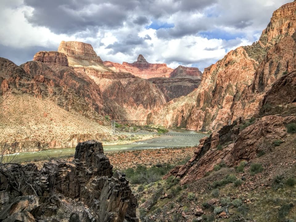 ModerateRiver Trail1.7 mi · 1 hr · 5.7 mi awayA river-level connector beneath steep inner-canyon walls.
 Sight · 1.1 mi awayPima PointSee the river, and sometimes hear Granite Rapids.
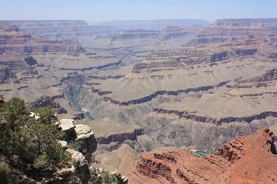 Sight · 1.6 mi awayMohave PointSee the river and three named rapids from the rim.
 Sight · 1.7 mi awayMonument Creek VistaA quick view of Monument Creek and Granite Rapid.
 Sight · 2 mi awayHermits RestA stone rest stop with a fireplace worth stepping inside for.
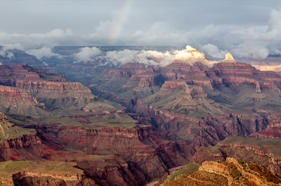 Sight · 2.1 mi awayHopi PointWalk the long point for five views of the Colorado River.
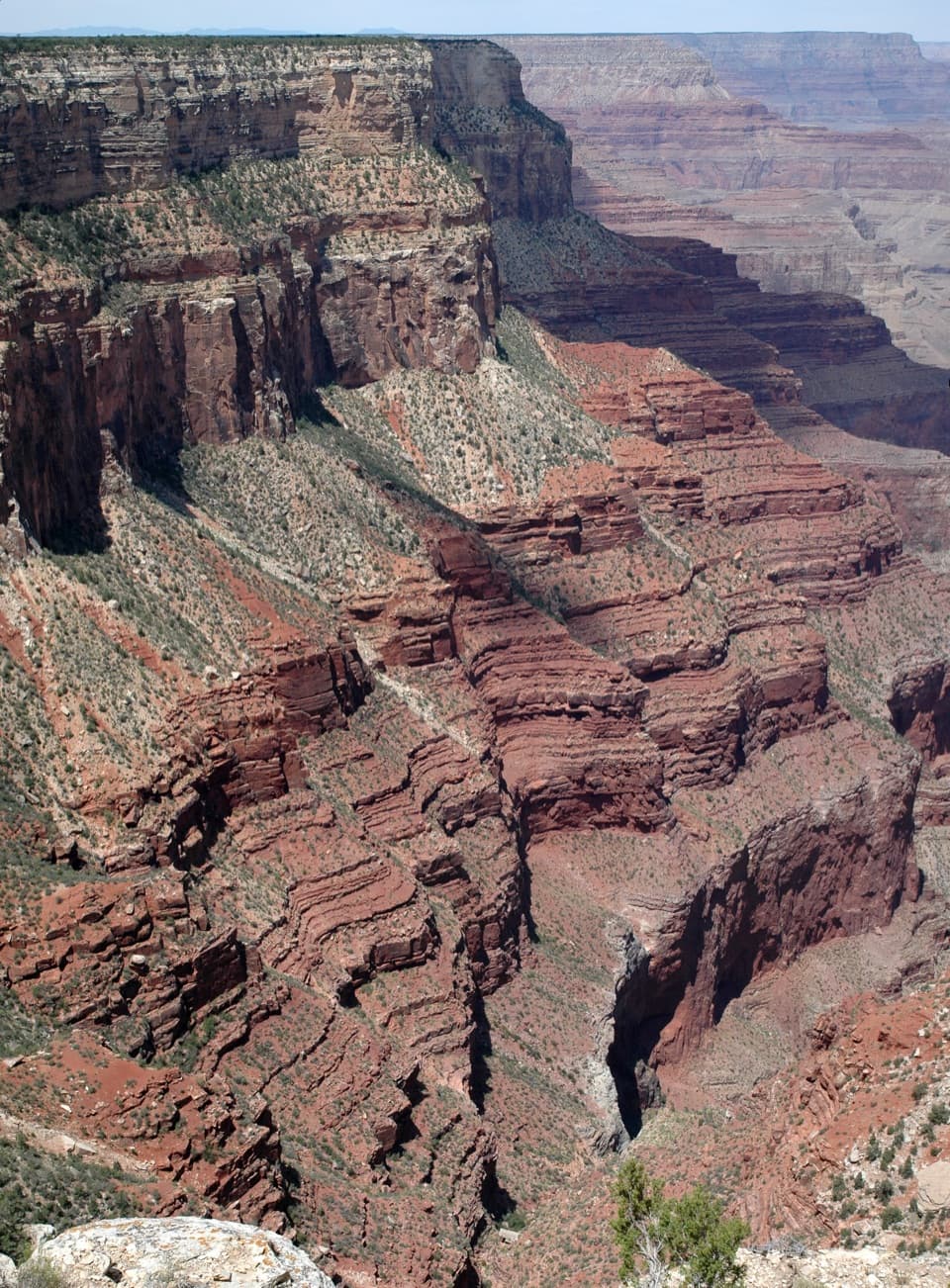 Sight · 2.1 mi awayThe AbyssA near-vertical look into the Monument Creek drainage.
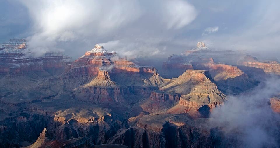 Sight · 2.3 mi awayPowell PointA Hermit Road overlook with Powell's memorial and wide canyon views.
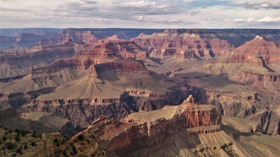 Sight · 2.5 mi awayMaricopa PointA wide panorama with old mine scars and a tiny river glimpse.
Parkwolf’s Grand Canyon ranking

The audio tour guide for the drive, plus offline maps, trails, and wildlife heatmaps for when the signal drops.




