Pros & cons
PROS
- Wild, seldom-visited Gem Canyon on the Tonto traverse
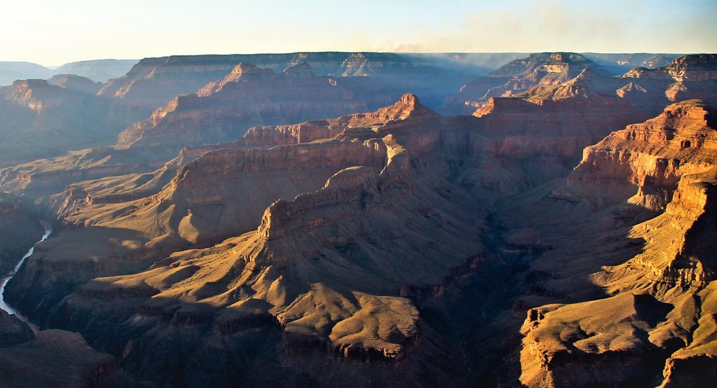
- Expansive views and classic Grand Canyon geology
CONS
- Water is extremely scarce; nearest reliable source is Boucher Creek
- Remote, committing terrain with faint, unmaintained trail and no easy bailouts
Overview
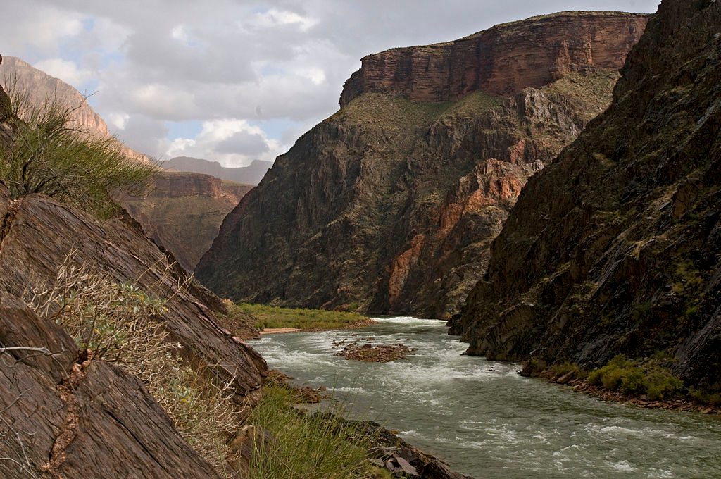
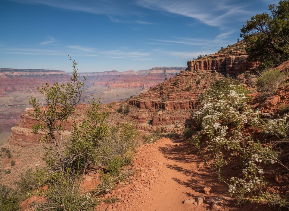
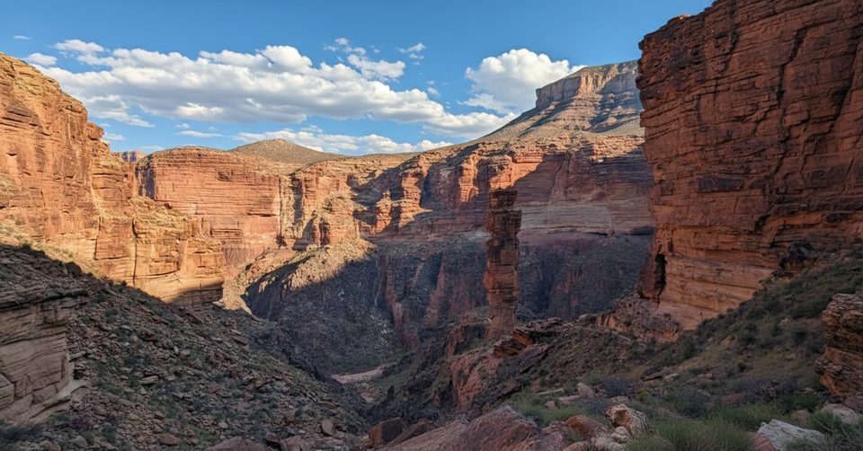
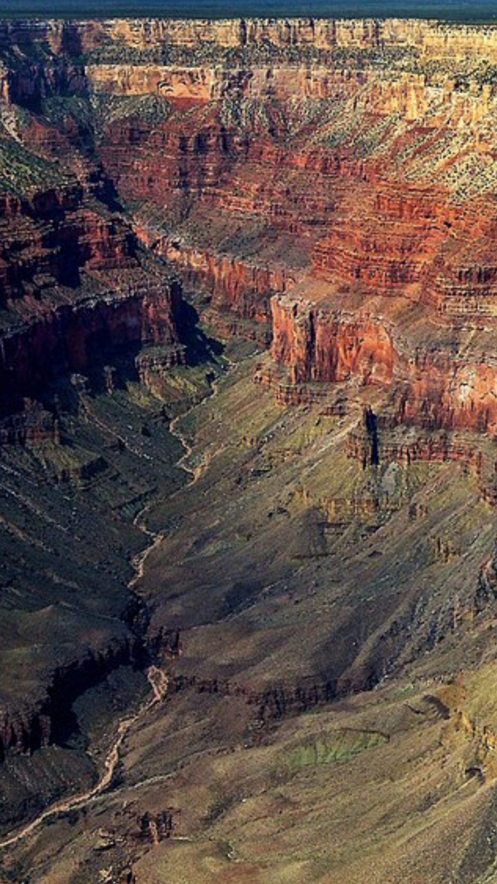
Topaz Canyon is one of the Grand Canyon’s remote “Gem Canyons,” a narrow, linear side canyon below the South Rim. It sits between Mescalero and Mimbreno Points and forms part of the broader landscape around Diana Temple. The setting is pure backcountry—no roads, no facilities—just sweeping views, rugged walls, and the Tonto Platform stepping you through textbook layers.
Why go
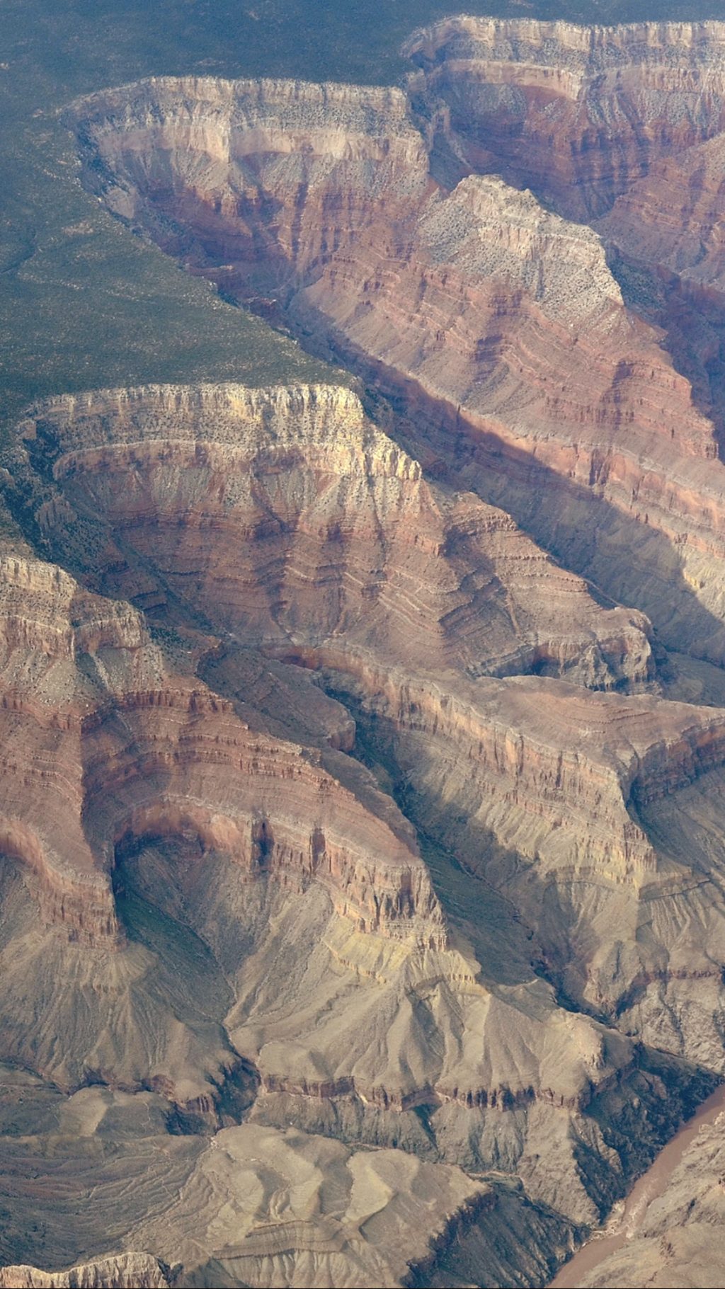
If solitude and raw canyon scenery are your thing, this stretch delivers. Backpackers on the western Tonto Trail thread in and out of the Gem Canyons, including Topaz, collecting big panoramas toward the Granite Gorge and the Colorado River while traversing colorful Tapeats, Bright Angel, and Supai strata. It’s a more committing, wilder experience than the park’s corridor routes.
How to see it
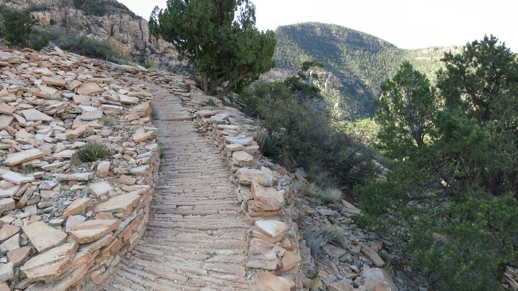
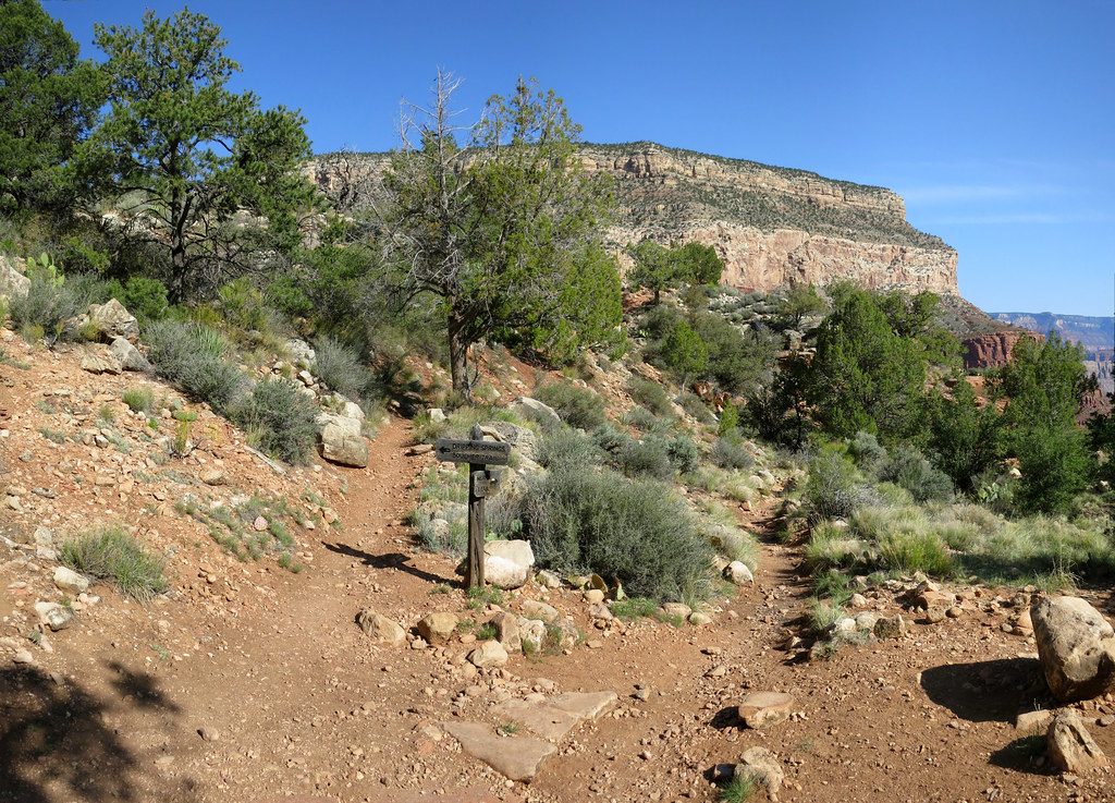
- On foot: The Tonto Trail crosses the Topaz Canyon drainage on the multi‑day Gems Route between the South Bass and Boucher Trails. Expect repeated descents and climbs, rugged footing, and navigation that can be faint in places.
- From the rim: Mescalero Point offers an elevated look across Topaz Canyon and east along the Granite Gorge—great if you want the view without the multi‑day commitment.
What to expect on the traverse
- Terrain: Long, curving canyon bends, open Tonto slopes, and sustained exposure to sun and heat. Some sections on this traverse are described as brutal and demanding.
- Water: Extremely limited. Trip reports cite Boucher Creek as the nearest reliable source, but you must verify current conditions before you go and carry ample capacity.
- Camping and permits: This is a pristine area with limited, fragile sites—use existing spots and practice strict Leave No Trace. A backcountry permit is required for overnights.
Wildlife
Sources don’t document canyon‑specific wildlife here. Consider any sightings a bonus; plan for the experience, not the fauna.
Best time to visit
Aim for cooler seasons and shoulder months to avoid dangerous heat—this route has little shade and scarce water. For photography from Mescalero Point, softer morning or late‑day light helps define the canyon walls and the Granite Gorge beyond. Weekdays see fewer backpackers, not that you’ll likely meet many here anyway.
Bottom line
Topaz Canyon is for experienced, self‑reliant backpackers or rim‑view seekers who prefer their Grand Canyon rugged and quiet. If you’re not up for an involved backcountry traverse, enjoy it from Mescalero Point and save the Tonto slog for when you’re ready.
Where it is
36.1103, -112.2418Tips for Topaz Canyon
- 01Secure a backcountry permit if you plan to camp on the Gems Route.
- 02Carry ample water and verify current sources; don’t count on finding any en route.
- 03Load the USGS coordinates and a GPX for the western Tonto—the path can be faint.
- 04Start early to beat heat and give yourself generous time for rugged climbs.
- 05Between South Bass and Boucher there are no easy bailouts—plan conservatively.
Near Topaz Canyon
All places →All trails →
1.4 mi awayTravertine CanyonShady travertine grotto and waterfall reached only by river
1.8 mi awayCrystal RapidsInfamous big-water rapid with a colossal central hole
1.9 mi awayHermit RapidsRemote big-wave rapid with a roller coaster feel
3 mi awayTower of RaRemote sandstone spire admired from afar, coveted by climbers
3.8 mi awayHermit TrailSteep, historic descent to solitude and stonework on the South RimChallenging · 9 mi · 10 hr
3.8 mi awayHermit Creek TrailRugged, historic rim-to-river descent to Hermit Creek and RapidsChallenging · 17.5 mi · 13 hr
3.8 mi awayMonument Creek TrailShort, steep drop to Granite Rapids and a lonely inner-canyon campChallenging · 2.6 mi · 2.5 hr
3.8 mi awayDripping Springs TrailHistoric rim-to-spring trek with big views and a cool canyon grottoChallenging · 7 mi · 5 hr