Pros & cons
PROS
- Spring-fed waterfall bursting straight from a canyon wall
- Lush, photogenic oasis amid otherwise stark desert
CONS
- Extremely strenuous, remote backcountry approach
- Tapeats Creek crossings can be dangerous or impossible at times
Overview
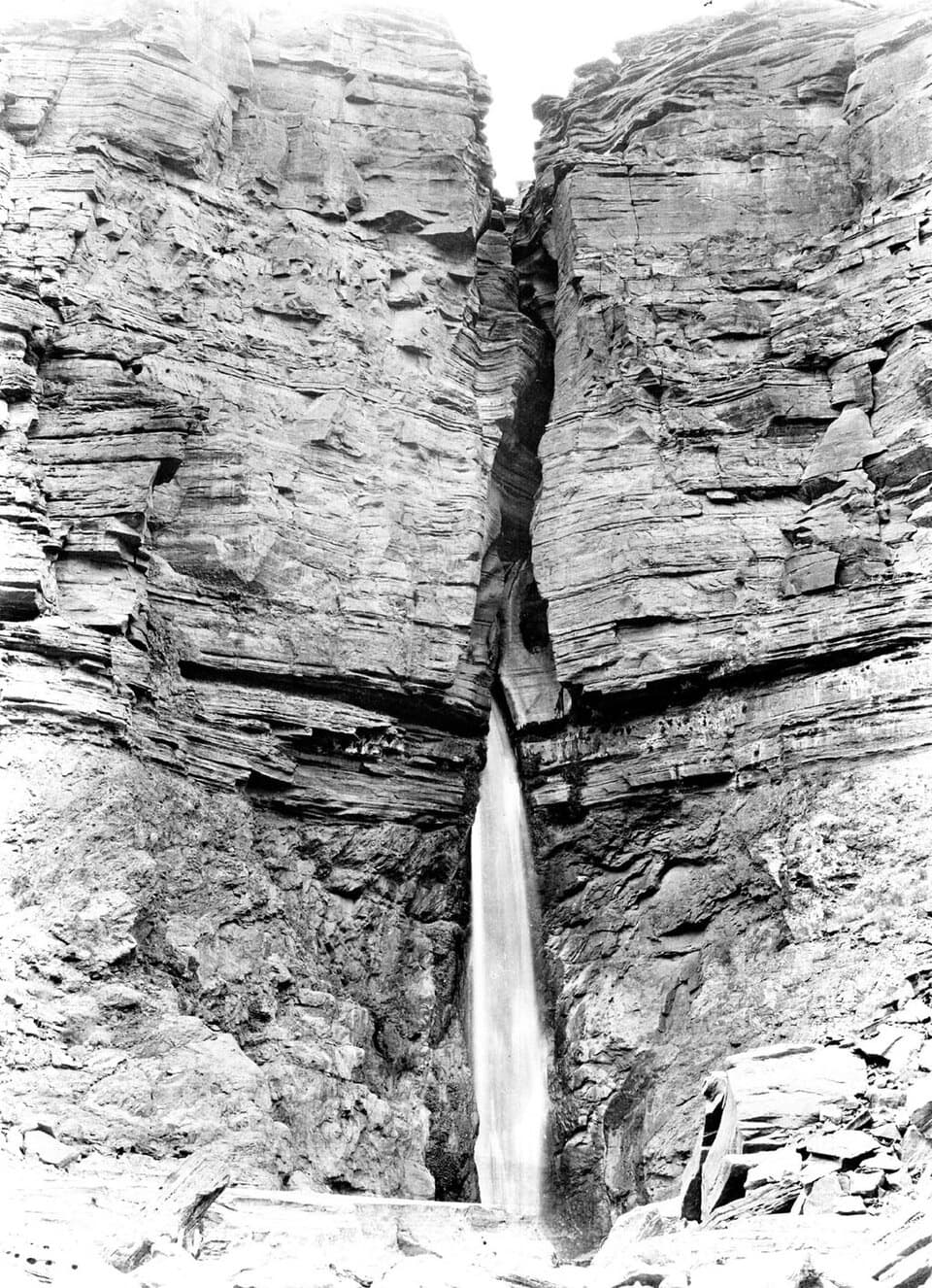
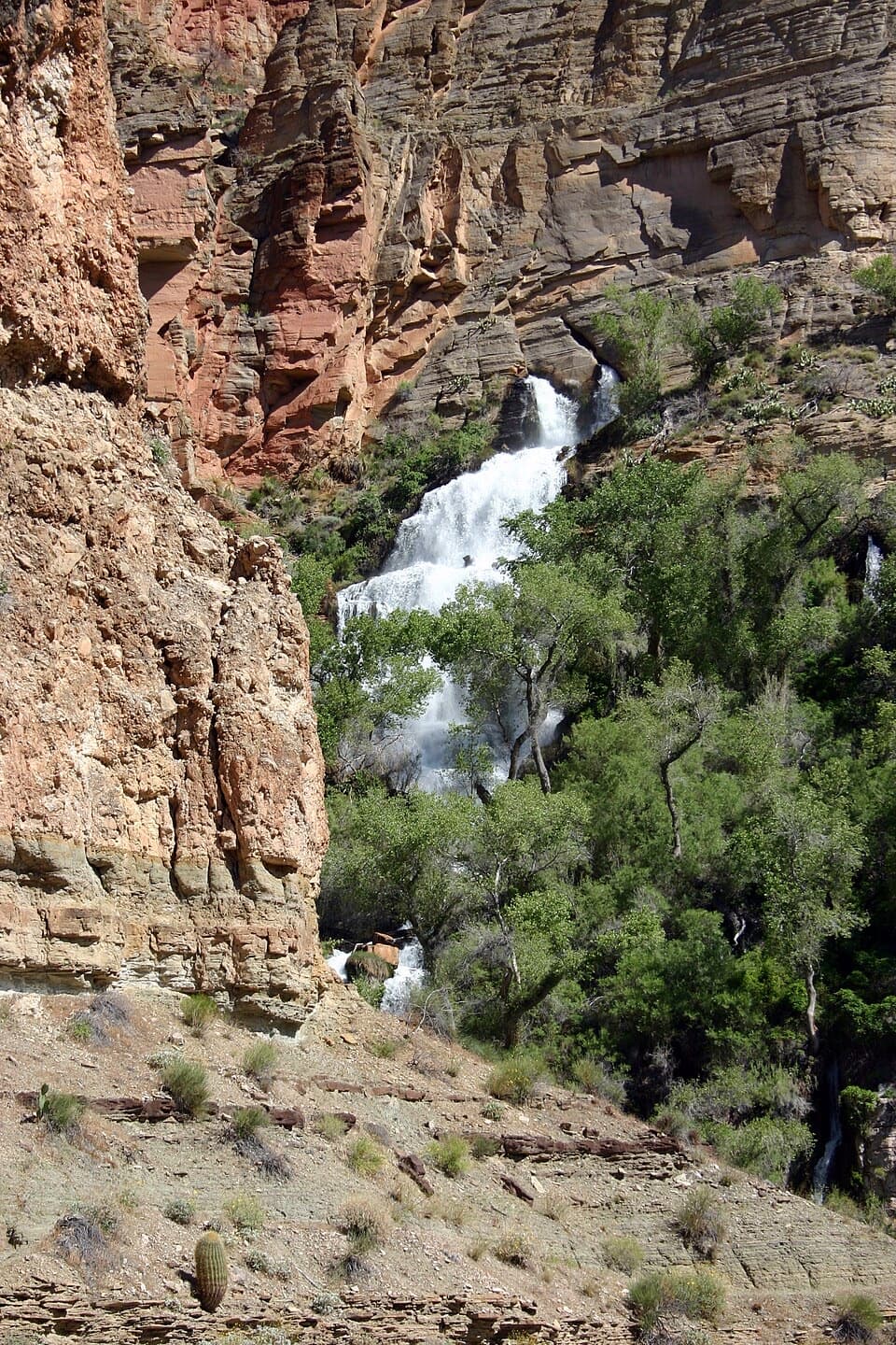
Thunder River Falls is one of the canyon’s wildest surprises: a roaring spring explodes from a cliff, instantly forming Thunder River and plunging toward Tapeats Creek. In just about half a mile, the water drops roughly 1,200 feet—making this one of the steepest, shortest rivers you’ll ever see. It’s remote, committing, and utterly unforgettable if you’re up for the challenge.
What You’ll See
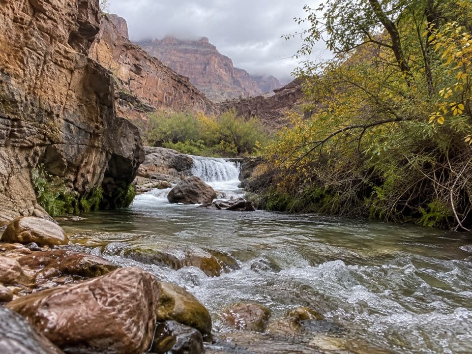
- A powerful, cold spring gushing from the rock at Thunder Spring, cascading into multiple falls and emerald pools.
- A green ribbon of life—ferns, mosses, and seasonal wildflowers like scarlet monkeyflower—contrasting against red and gray canyon walls.
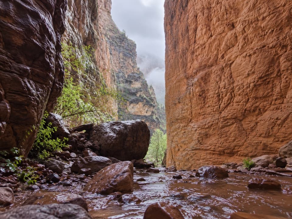
- Tapeats Creek below, with boulder gardens, rapids, and intimate canyon narrows.
Getting There & Difficulty
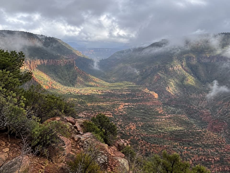
Access is via the Thunder River/Deer Creek trail network from the North Rim or as a steep side hike for river runners. Overland trips require a serious multi-day backpack with big elevation loss and regain, loose rock, and some exposed sections. Day hiking from the rim isn’t practical for most people. Expect solitude punctuated by the occasional river group hiking up from the Colorado.
Safety & Logistics
This route is hot, dry, and unforgiving away from the springs. Plan water carefully: many backpackers cache water high on the Esplanade and then filter at Thunder River or Tapeats Creek. Creek crossings can be hazardous—at times dangerous or impossible—so check current conditions before committing. Good navigation skills, a topo map, and a GPS are smart calls. Backcountry permits are required for overnights.
Flora, Wildlife & Quiet Moments
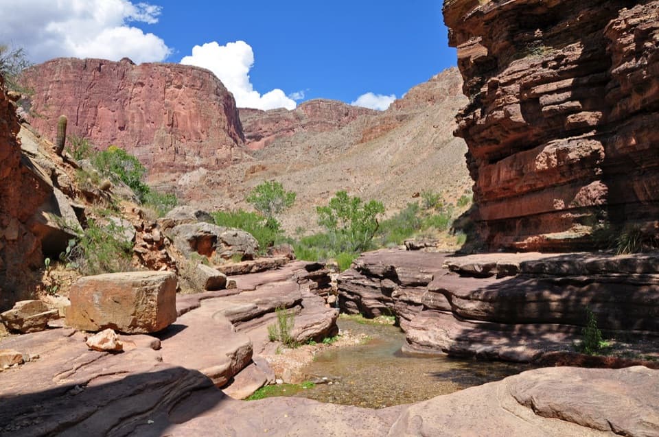
The oasis effect draws birds and small mammals to the riparian corridor. You’ll also pass hardy desert plants—agave, cacti—on the approach, giving way to lush greenery around the water. Dawn and late afternoon can be wonderfully calm for soaking in the sound of the falls and photographing soft light on wet rock.
Geology & Hydrology
Thunder River is spring-fed: groundwater from the North Rim is forced out of the canyon wall by impermeable layers, emerging with enough force to carve travertine and sustain the perennial flows of both Thunder River and Tapeats Creek. It’s a vivid lesson in how underground water shapes this desert landscape.
Best Time to Visit
Late spring and fall offer the friendliest temperatures for big mileage with heavy packs. Summer heat can be brutal; winter is for seasoned canyon hikers with the right gear and experience. For photography, early and late light are best; midday can be harsh. Crowds are naturally limited by difficulty, but you may encounter river parties midday during boating season.
Where it is
36.3921, -112.4511Tips for Thunder River Falls
- 01Carry a reliable filter and plan water caches for the climb out.
- 02Check with rangers on Tapeats Creek flow; crossings can be unsafe.
- 03Study the Thunder River/Deer Creek route in detail and bring a topo map and GPS.
- 04Aim for late spring or fall and start hiking in the cool of the day.
- 05Permits are required for overnights; build in contingency time for route changes.
Near Thunder River Falls
All places →All trails →
0.2 mi awayThunder RiverA cliff-born river and lush oasis amid stark redwall limestoneScenic Viewpoint
0.5 mi awayThunder SpringA cliff-born oasis where Thunder River explodes from limestoneScenic Viewpoint
1.8 mi awayTapeats RapidsThundering confluence rapid where Tapeats Creek meets the Colorado
3.2 mi awayDeer Creek TrailHard North Rim trek to Deer Creek narrows and 180-foot fallsChallenging · 23 mi · 48 hr
3.2 mi awayThunder River TrailRoaring spring oasis via a rugged, remote North Rim descentChallenging · 17 mi · 48 hr
3.2 mi awayBill Hall TrailShort, steep gateway to Thunder River and Deer Creek solitudeChallenging · 7 mi · 7 hr
3.2 mi awayTapeats Creek TrailRugged North Rim descent to a lush creek and Tapeats Rapids.Challenging · 9 mi · 7 hr
3.3 mi awayDeer Creek FallsA 100‑foot desert oasis waterfall right on the Colorado RiverScenic Viewpoint