
Place · 0.2 mi away
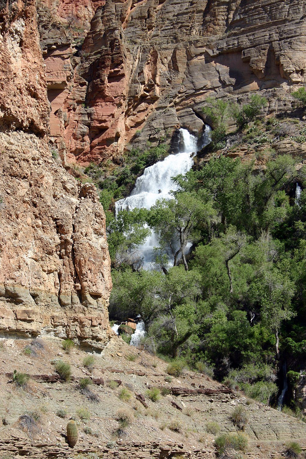
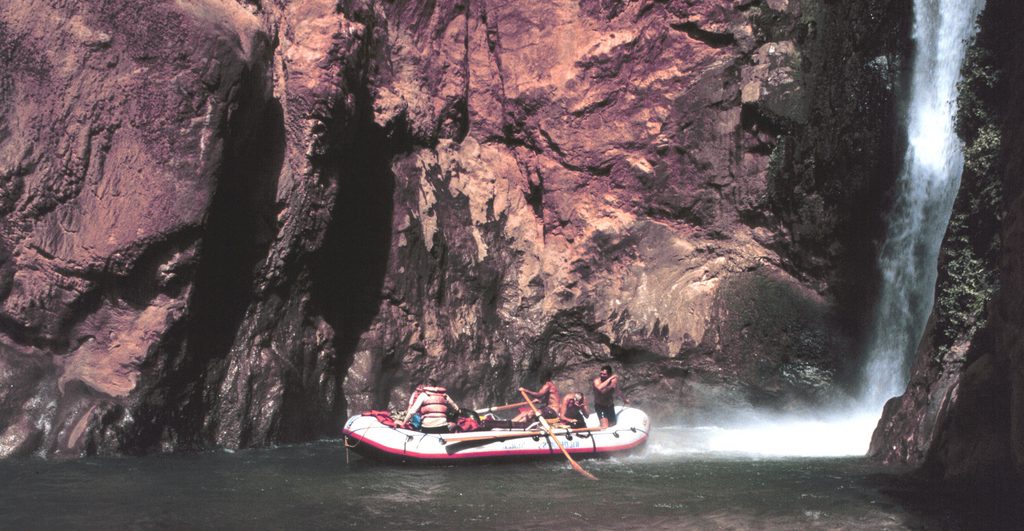
Thunder River is one of the canyon’s jaw-droppers: a short, screaming‑steep river that explodes straight out of a cliff at Thunder Spring, then tumbles just half a mile to Tapeats Creek. Over that tiny distance it drops roughly 1,200 feet, making it famously steep and unlike anything else around. The result is a ribbon of cold, roaring water and a green oasis tucked beneath Redwall limestone.
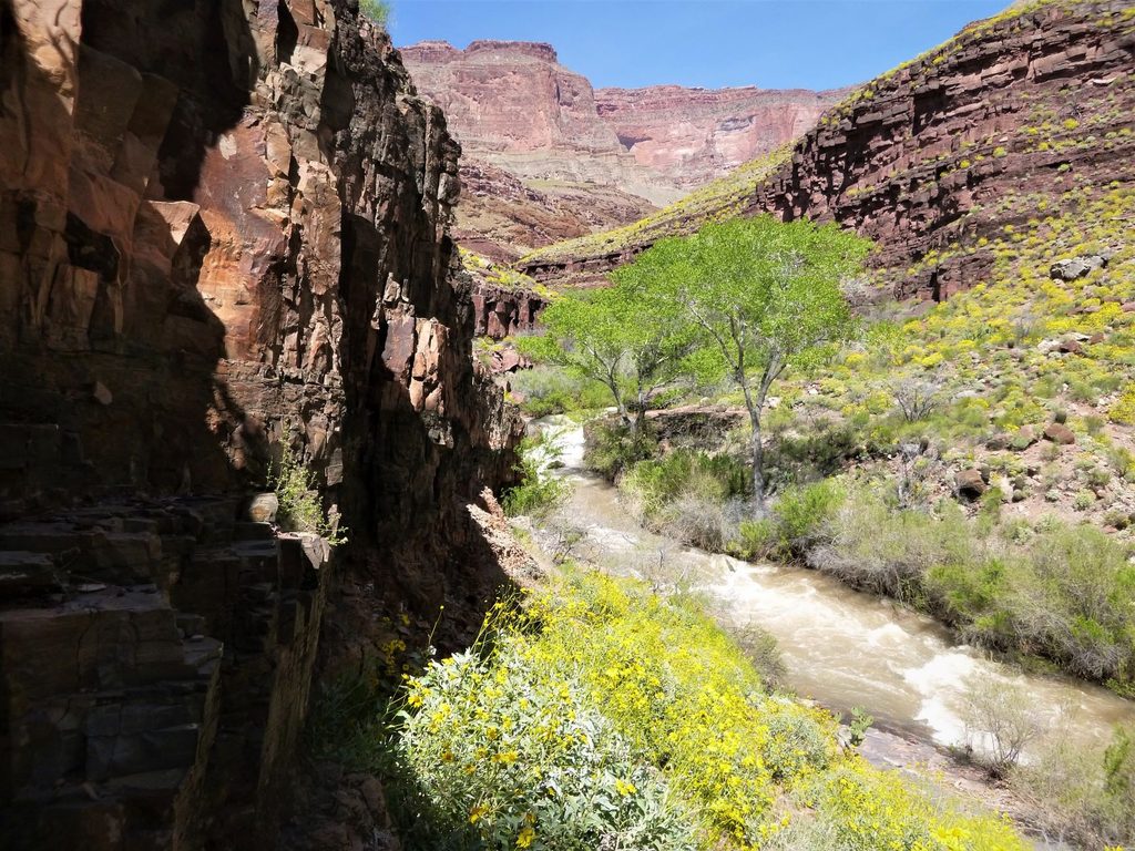
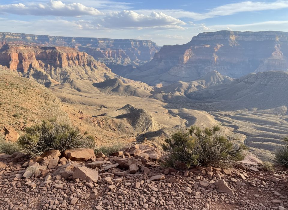
Expect a cliff-born gush that immediately forms cascades and waterfalls, feeding a lush corridor with Fremont cottonwoods, ferny walls, and seasonal monkeyflower. The contrast with the surrounding arid stone is dramatic, and views up and down the canyon add big scenery to the intimate spring setting.
Thunder Spring issues from a deeply incised karst aquifer in the Redwall Limestone and emerges from the Muav Limestone, which is why the river seems to begin as a waterfall from bedrock. The water is notably cold—about 50–52°F—hinting at high-elevation recharge on the North Rim. The area also reflects ancient slope failures that reshaped this stretch of canyon over geologic time.
Two classic ways in: a challenging backcountry route from North Rim trailheads (often linked with Deer Creek) or a 2.5‑mile side hike up Tapeats Creek from Colorado River Mile 134.5 Right on river trips. Expect steep switchbacks, exposure, significant elevation change, and creek crossings that can be tricky in high flow. The Upper Tapeats campsite sits just below the confluence of Thunder River and Tapeats Creek.
This is a rare, cold-water desert springs ecosystem—an oasis that supports richer riparian life than the surrounding desert. Treat it gently; the spring and its vegetation are sensitive.
Overnight trips require a backcountry permit. Treat all water. Start hiking early to beat sun on exposed slopes. Some parties cache water for the climb and may use a short rope to lower packs in rough spots.
Spring and fall offer the safest combo of cooler temps and manageable flows. Midday sun lights the falls but can be punishing on the hike; early starts are wise. River-trip traffic can add people near camps, but overall this remains a remote, uncrowded prize.
Place · 0.2 mi away
Place · 0.3 mi away
Place · 1.8 mi away
Place · 3.1 mi away
Challenging · 3.1 mi away
Challenging · 3.1 mi away
Challenging · 3.1 mi away
Challenging · 3.1 mi away

Parkwolf Tour Guide
