Parking
Bill Hall Trailhead is at the gate at the end of Forest Road 292A. Reaching it means a long drive on unpaved Forest Service roads; winter and spring access can be unreliable. Parking capacity and facilities aren’t documented.
Grand Canyon National Park, AZ
A rugged descent to the Esplanade with a 15-foot scramble.
Overview
Map & elevation
Plan your hike

The highest, rockiest slopes around here are a summer buffet for grizzly bears.
Grand Canyon Tour Guide
Parkwolf is a GPS audio tour guide for Grand Canyon National Park. As you drive, it chimes in with what’s ahead: hidden gems, upcoming stops, history, geology, and wildlife, right through your car’s speakers.
See the Grand Canyon audio tour“Fantastic app with many points of information… It’s great to just turn on while you’re driving and it gives you an audio tour of the national Park. We love it!!!!”


Trail guide
Bill Hall Trail is a 5-mile out-and-back from Bill Hall Trailhead at Monument Point to the Esplanade junction with Thunder River Trail. You take the same 2.5-mile trail back up. Set aside most of a day; about six hours is a reasonable planning estimate for the steep descent, scramble, and climb back.
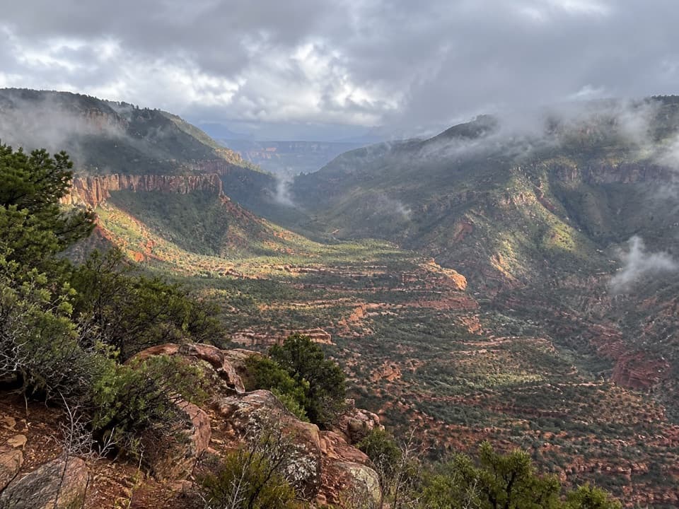
The route follows the rim west for its first half mile and rises a little. Cairns mark where it leaves the rim east of Monument Point. Then it drops through the Kaibab and Toroweap formations, contours northwest, and winds down many switchbacks through Coconino Sandstone to a small drainage. The junction sits roughly 1,800 feet below Monument Point, so the return is a real climb.
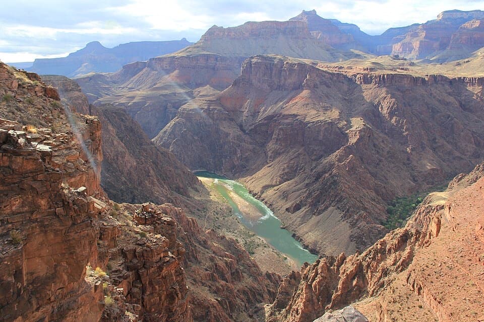
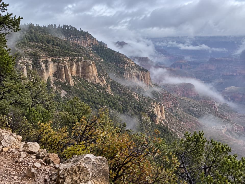
Monument Point gives you the canyon view before the descent. The rim rocks and pines make a useful foreground for a canyon photo.
The short route still has a 15-foot scramble. The Forest Service says a light rope may help lower packs there. That’s a good reason to think about what you carry before committing to the descent; you’ll bring it back up the same way.
The trail ends at its junction with the Thunder River Trail on the Esplanade. It does not reach Thunder River, Tapeats Creek, or Deer Creek; those are much farther along the longer inner-canyon route. Choose Bill Hall for the direct descent to the Esplanade, and don’t mistake this five-mile return hike for the multi-day Thunder River–Deer Creek itinerary.
Bill Hall was a seasonal North Rim ranger who died in a line-of-duty car accident in 1979. The trail carries his name.
Start at the gate at the end of Forest Road 292A. Reaching it means a long drive on unpaved Forest Service roads. Winter and spring access can be unreliable, so check road conditions with the Forest Service before making the drive. Trailhead parking capacity and facilities aren’t documented; bring what you need for the hike.
Day hikers don’t need a backcountry permit. Overnight camping below the rim does require one. Pets aren’t allowed below the canyon rim; trained service animals assisting a person with a disability are permitted.
Wildlife
 718 sightingsCalifornia CondorMost seen around 5 PMSighting map
 533 sightingsBighorn SheepMost seen around 7 AMSighting map
 169 sightingsAmerican BisonMost seen around 7 PMSighting map
 1,891 sightingsElkMost seen around 6 AMSighting map
 59 sightingsCoyoteMost seen around 6 PMSighting map
 27 sightingsGray FoxMost seen around 6 AMSighting map
Sighting maps show where each species has been reported across Grand Canyon. Wildlife moves, so no sighting is guaranteed.
Keep exploring
 ChallengingThunder River–Deer Creek Loop24.1 mi · 1 day · At the trailheadA strenuous three-day loop linking Thunder River and Deer Creek.
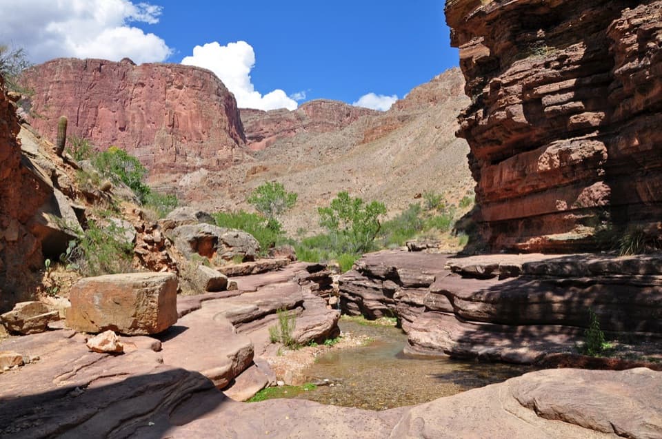 ChallengingDeer Creek Trail to Deer Creek Falls20.4 mi · 13.5 hr · At the trailheadA long rim-to-river hike to Deer Creek Falls
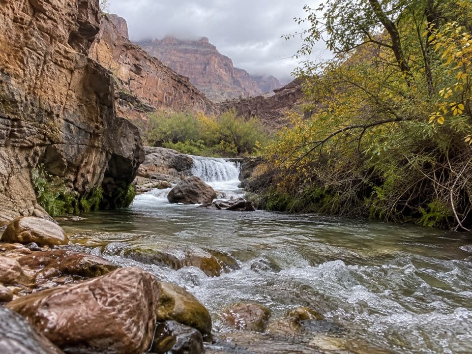 ChallengingTapeats Creek Trail2.2 mi · 2.5 hr · 3.2 mi awayA green canyon corridor with two serious creek crossings.
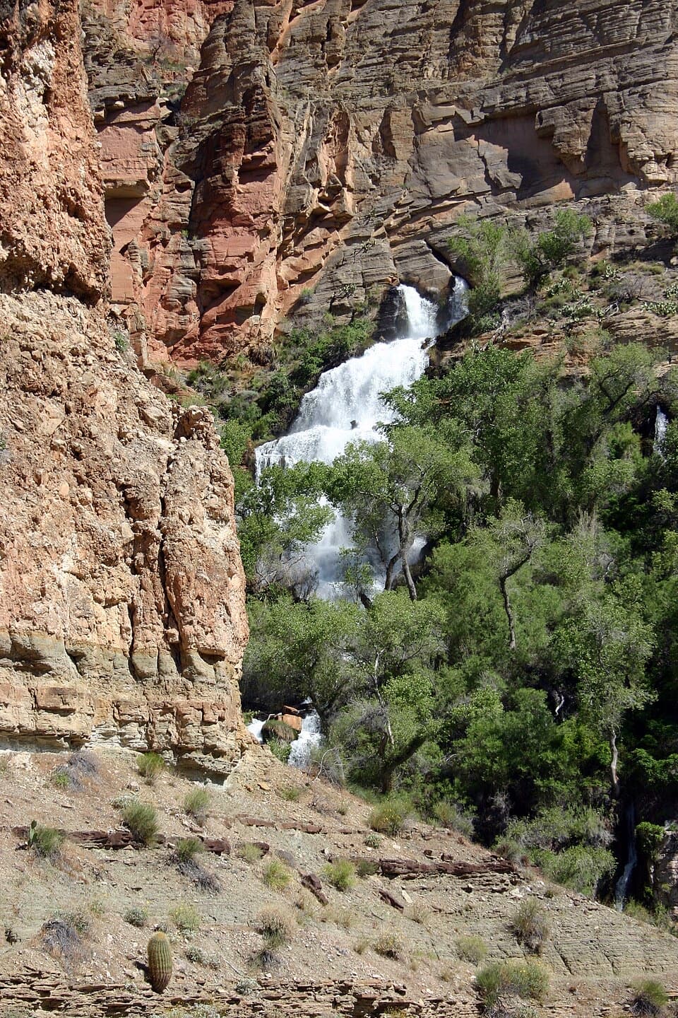 ChallengingThunder River Trail from Indian Hollow25.8 mi · 20 hr · 3.7 mi awayA rugged backcountry drop to Thunder River's spring-fed cascadesChallengingTapeats Creek to Deer Creek Traverse7.6 mi · 8 hr · 4.9 mi awayA full-day river traverse links Thunder River with Deer Creek.
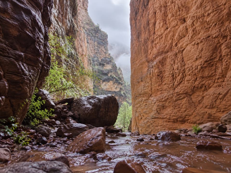 EasyStone Creek Trail0.5 mi · 30 min · 6.2 mi awayA short river stop for a fern-lined waterfall refuge.
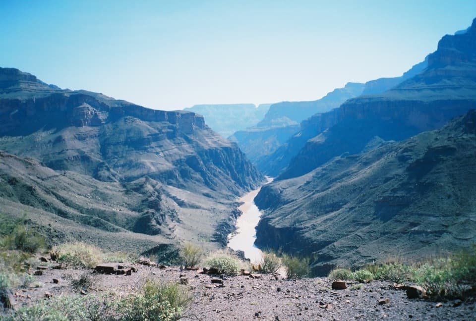 ChallengingNorth Bass Trail13.5 mi · 20 hr · 8.2 mi awayA 13.5-mile one-way descent to the Colorado River.
 ChallengingPowell Plateau Trail8.1 mi · 7 hr · 8.2 mi awayA remote plateau hike with canyon views and a faint, demanding tread
Parkwolf’s Grand Canyon ranking

The audio tour guide for the drive, plus offline maps, trails, and wildlife heatmaps for when the signal drops.