Place · 3.1 mi away
Challenging

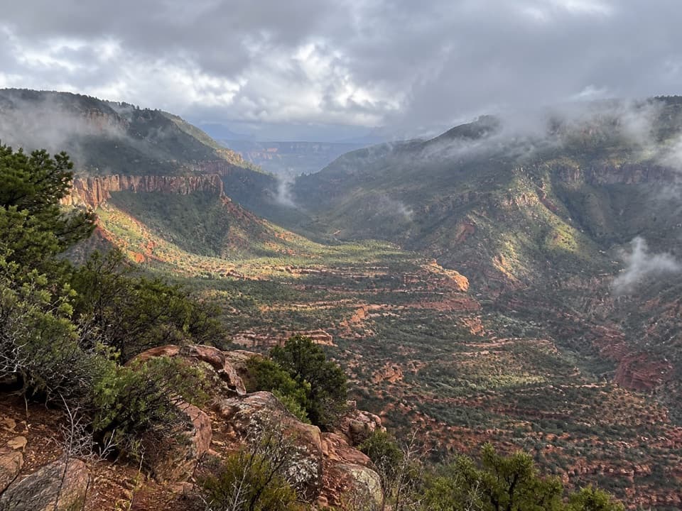
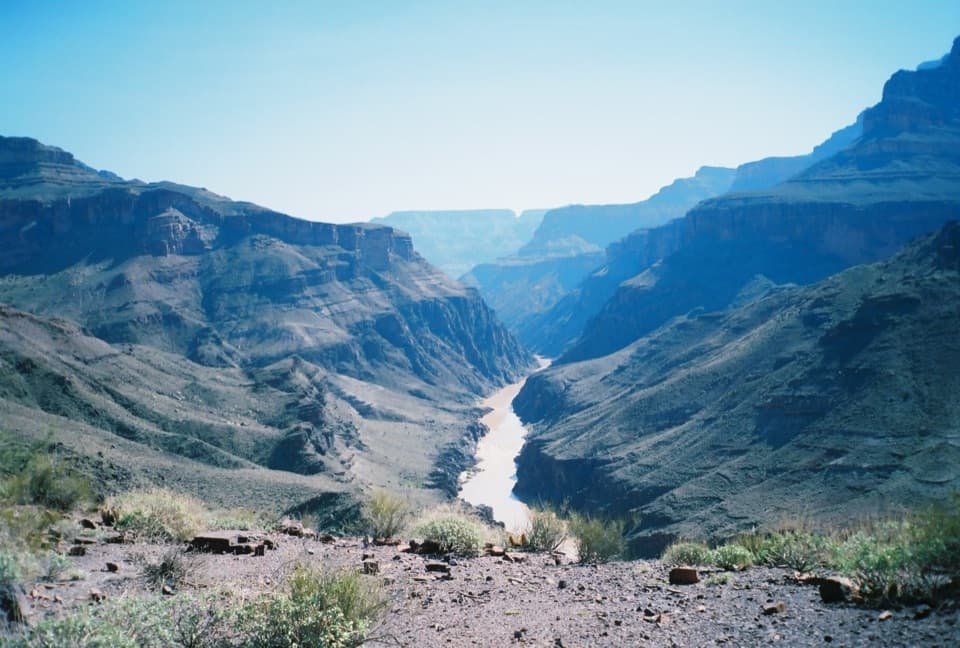
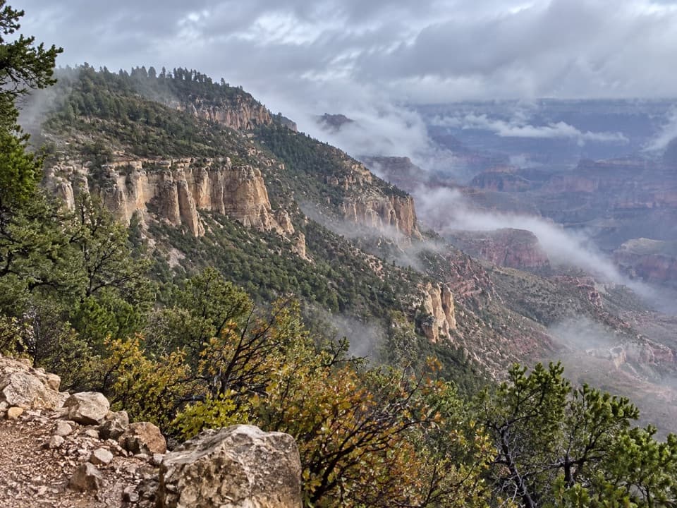
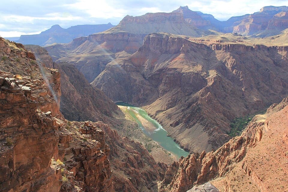
Tapeats Creek is one of the Grand Canyon’s classic “desert-to-oasis” experiences: a steep, committing drop from the North Rim to perennial water, waterfalls, and finally the Colorado River at Tapeats Rapids. Most hikers reach it from the Bill Hall Trailhead (shorter, steeper) or the Thunder River Trail (longer, gentler), and then follow the creek to its confluence with the Colorado. Expect a serious workout, dramatic geology, and a rewarding payoff.
Length-wise, plan on roughly 9 miles one way from the rim to the Colorado River via the Bill Hall/Thunder River connection, with nearly 4,000 feet of descent. Many parties turn this into a 2–4 day backpack that also visits Thunder River and sometimes Deer Creek; as a single push, the rim-to-river descent alone commonly takes 6–8 hours. The trail is rocky and primitive with narrow ledges, loose switchbacks, and exposure—more precarious than many expect for a national park trail.
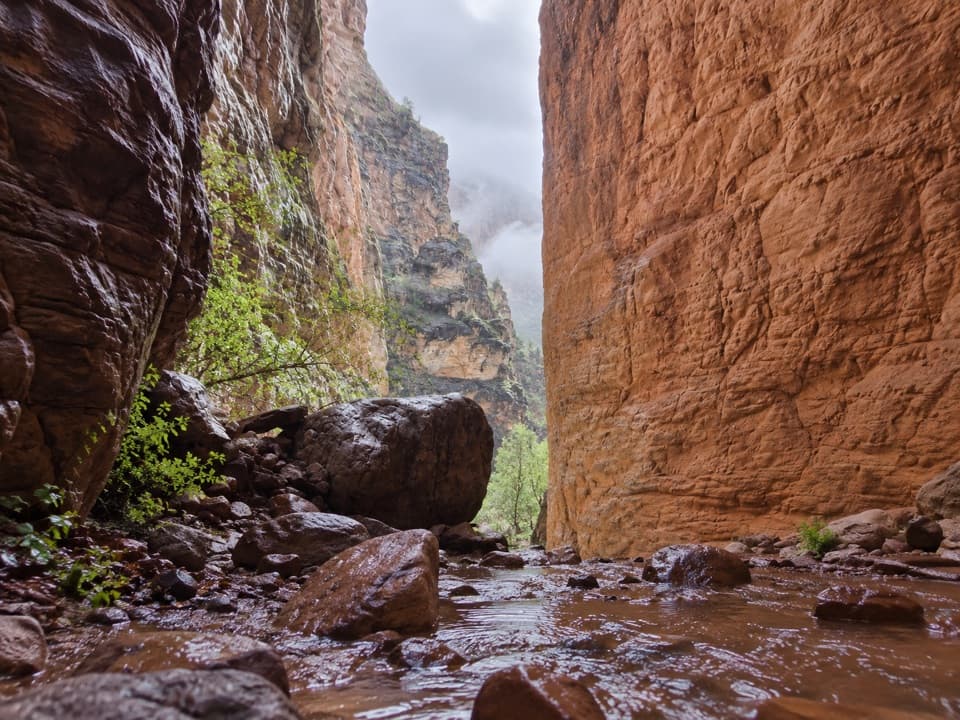
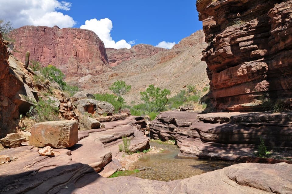
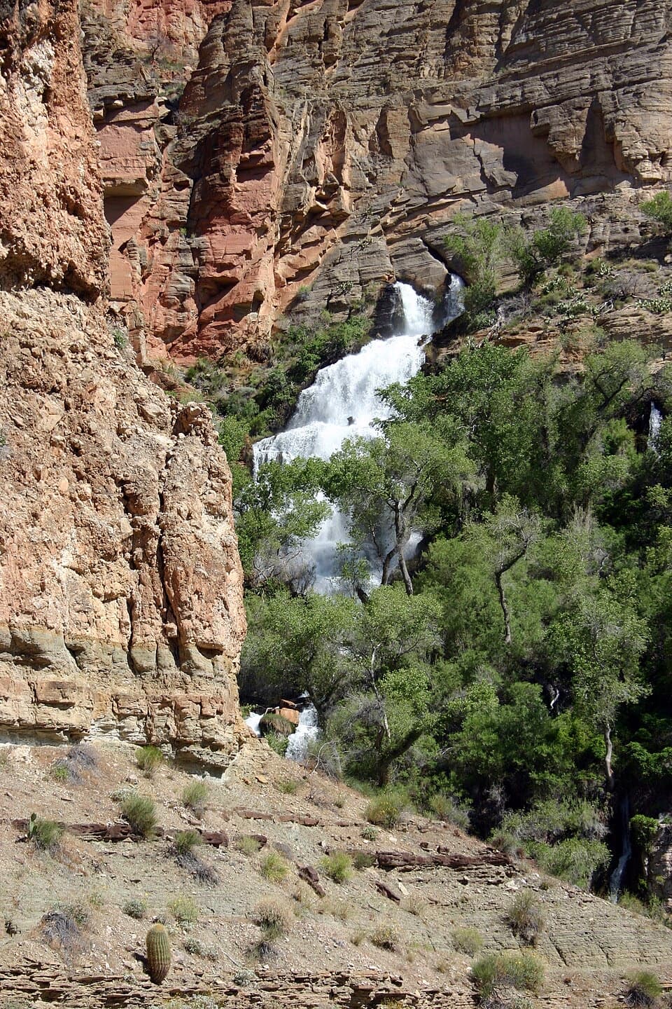
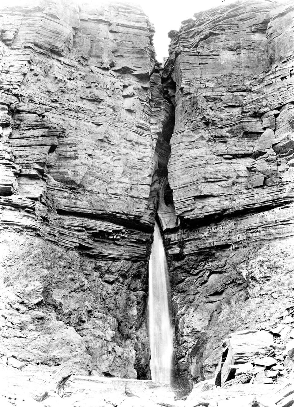
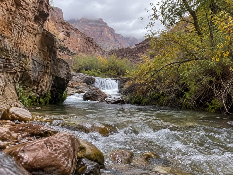
Once you hit Tapeats Creek, the character shifts to a riparian corridor—a ribbon of green and the constant sound of water in stark contrast to the surrounding desert. Thunder River, an extremely short but powerful river bursting from a cliffside spring, joins Tapeats just upstream, creating waterfalls and cascades that are a highlight of the area. Downstream, the route continues to the Colorado River and the roar of Tapeats Rapids with broad, open sand nearby.
Camping options include Upper Tapeats (shadier spots near the Thunder River confluence) and Lower Tapeats (open, sandy, little shade). Crossings of Tapeats Creek are often required and can be hazardous or temporarily impassable at high flow, especially in spring or after storms. You may also encounter big river-trip groups near Tapeats and Deer Creek; time your day to dodge the heaviest boater traffic.
Geology lovers will eat this up: you’ll descend through textbook Grand Canyon layers—Bright Angel Shale, Tapeats Sandstone, and down toward the ancient basement rocks—with sheer, multicolored walls and sharply defined bands telling a deep-time story as you go.
Tips and tricks: bring trekking poles for the pounding descent and balance at creek crossings; treat all water; carry ample sun protection for Lower Tapeats. A short handline can help lower packs on a couple of awkward downclimbs. A backcountry permit is mandatory for any overnight, and in monsoon season don’t camp close to the water due to flash-flood risk.
Best time to hike: spring and fall for moderate temperatures and typically safer creek levels. Summer heat can be dangerous, and winter can leave the upper switchbacks icy. Start early for cooler temps and to get ahead of river-day-use crowds near the confluence. If you want a similar feel with more waterfalls in the mix, the full Thunder River–Tapeats–Deer Creek loop is the marquee itinerary—just be ready for rugged miles and route-finding near the river.
Park at Bill Hall Trailhead on the North Rim (or start via the Thunder River Trail access), both reached by North Rim forest roads per NPS guidance.
Steep, exposed switchbacks with loose footing; narrow ledges; hazardous creek crossings at high water; flash-flood potential; extreme heat in summer and icy conditions in winter; expect large river groups near Tapeats and Deer Creek. Overnight trips require a backcountry permit.