
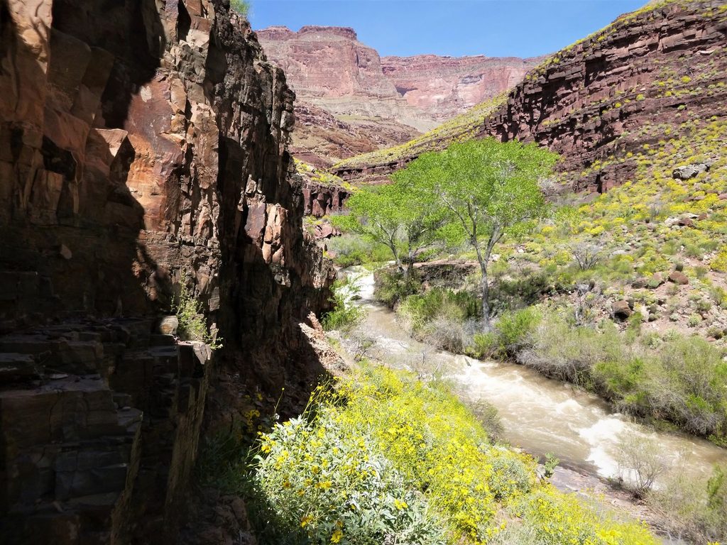
Place · 0.3 mi away
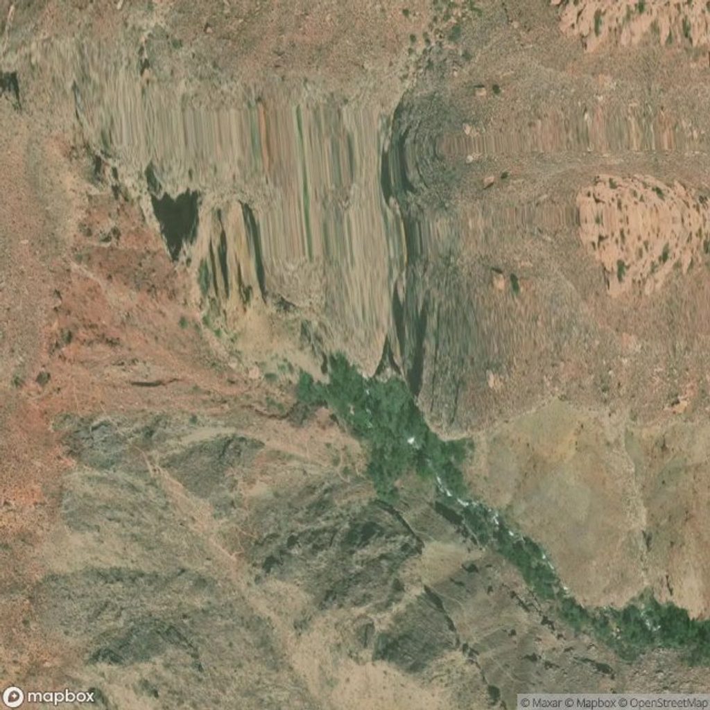
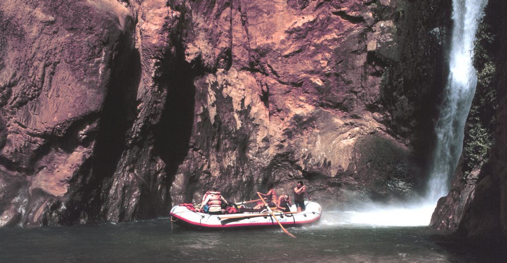
Thunder Spring erupts straight out of the Redwall Limestone, instantly becoming Thunder River and dropping through a series of waterfalls toward Tapeats Creek. It’s a dramatic, green oasis tucked into the inner canyon—steep walls, roaring water, and a stark contrast to the surrounding desert.
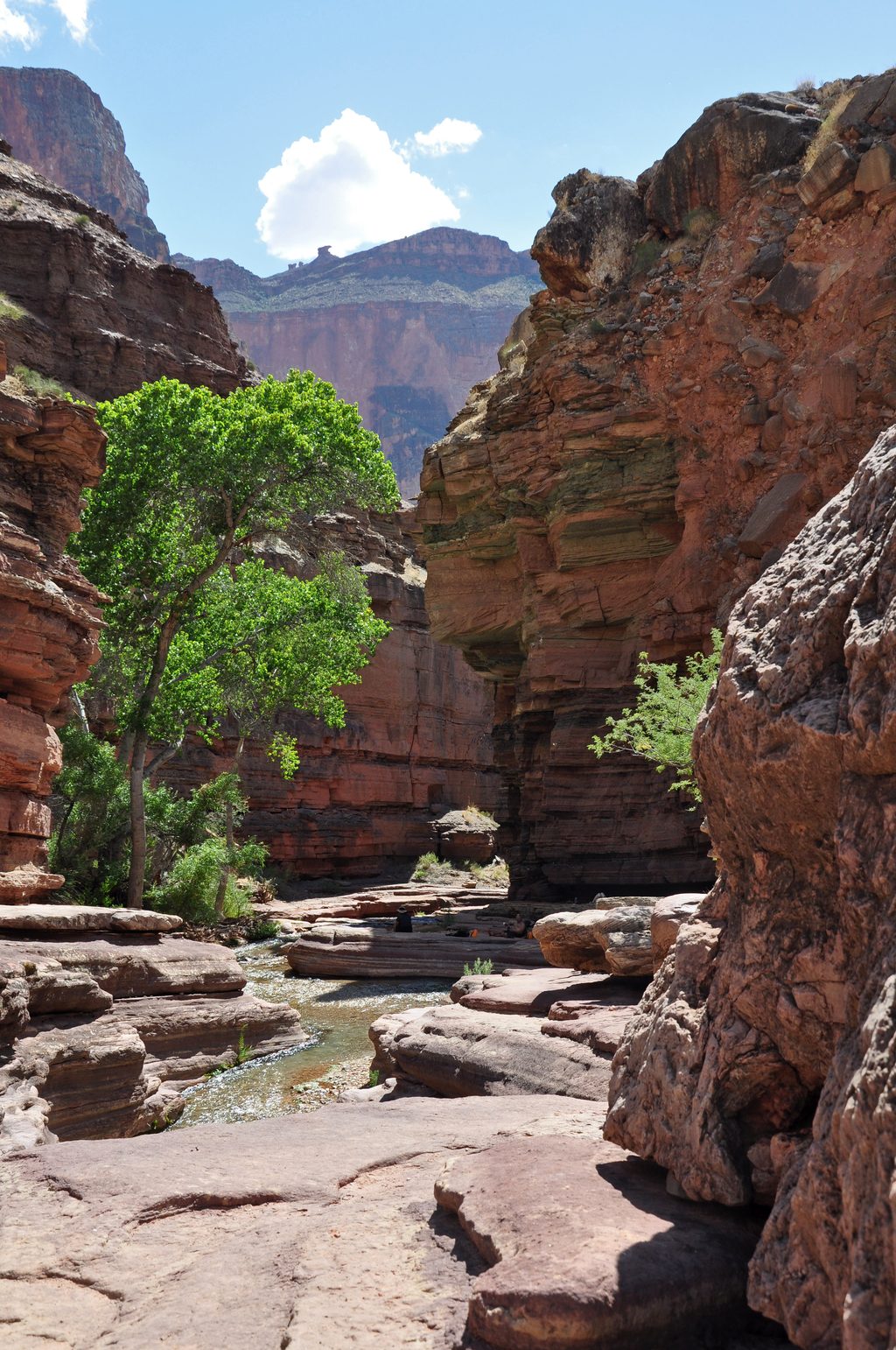
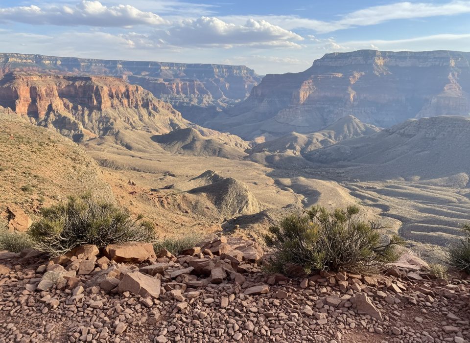
Most hikers reach Thunder Spring via the Thunder River route from the Bill Hall or Indian Hollow trailheads, descending into Surprise Valley. Expect cairn-following across broad slickrock benches, narrow ledges, and sections of loose rock—including an old landslide area—before the final approach to the spring.
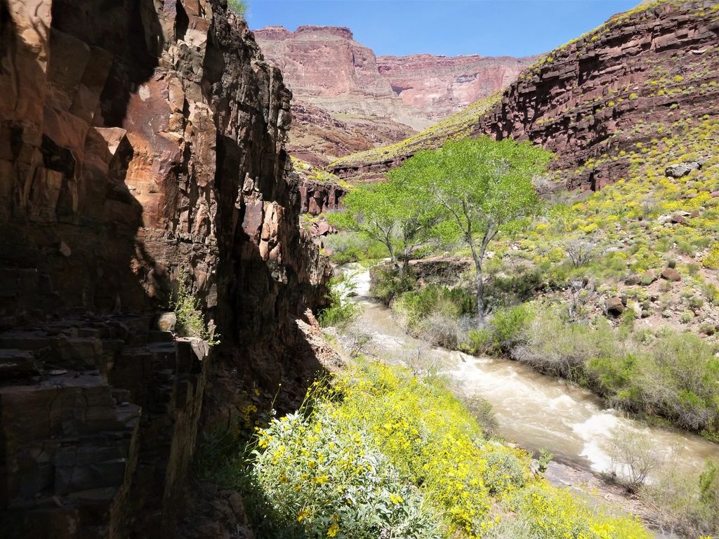
This is a serious backcountry outing: big elevation loss, exposure, and rugged footing. Seasonal water levels can make nearby creek crossings hazardous or impossible, especially during spring runoff. Heat can be extreme, and monsoon storms bring flash-flood risk. Treat the spring water before drinking.
That rare ribbon of year-round water draws life: songbirds, raptors, frogs, lizards, mule deer, and plenty of smaller canyon dwellers use the cool, moist corridor around the falls.
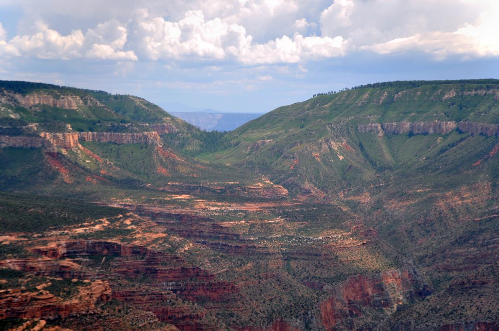
Thunder Spring taps a karst aquifer in the Redwall/Muav limestones, sending cold, mineral-rich water straight out of the cliff. The area’s huge ancient landslides sculpted today’s terrain and add to the drama of the waterfalls’ swift 1,200-foot drop in roughly half a mile—part of why Thunder River is among the steepest and shortest rivers in the country.
Plan around conditions rather than a calendar. Spring runoff can spike flows and make crossings dangerous; midsummer brings punishing heat; monsoon season adds flash-flood risk. Start very early and aim for weekdays—remoteness keeps crowds low, and sunrise/sunset light on the approach can be gorgeous.
If you’re an experienced, prepared hiker or backpacker, absolutely—Thunder Spring is one of the canyon’s most unique spectacles. If exposure, route-finding, and long dirt-road approaches aren’t your thing, there are easier rewards elsewhere.
Place · 0.3 mi away
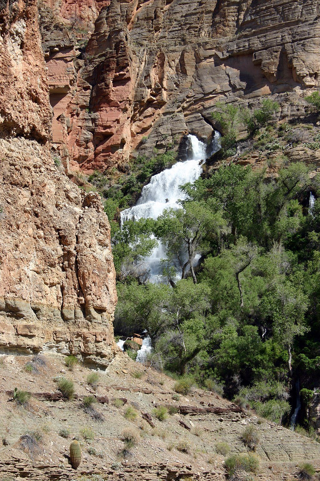
Place · 0.5 mi away
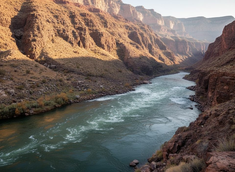
Place · 1.9 mi away
Place · 2.9 mi away
Challenging · 3.1 mi away
Challenging · 3.1 mi away
Challenging · 3.1 mi away
Challenging · 3.1 mi away

Parkwolf Tour Guide
