
Place · 0.6 mi away
Moderate
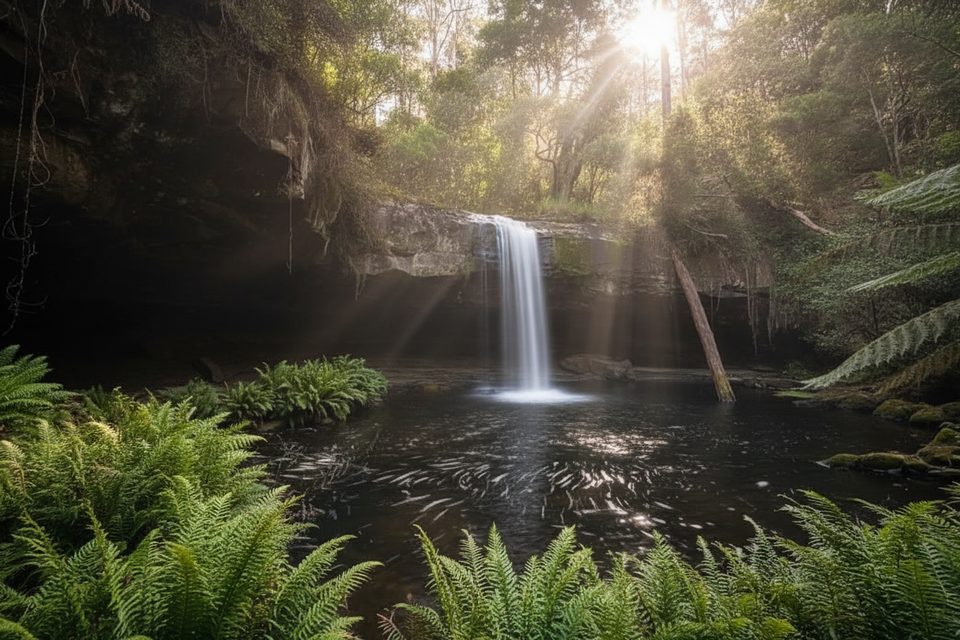
Set in Great Otway National Park near Lorne, this rainforest walk follows a former timber tramway through ferny gullies to the Kalimna Falls. The route begins at the Sheoak Picnic Area and is generally well signposted. Expect towering wet-forest vibes, moss, and cool, shaded walking.
When fully open, the classic return to both Lower and Upper Kalimna Falls is a 9.5 km (5.9 mi) out-and-back with about 225 m (740 ft) of total ascent, typically taking around 3 hours. Grades are steady and moderate thanks to the old tramline alignment, but it can be muddy and slick after rain.
Upper Kalimna Falls and the Kalimna Tramline link walk are closed due to a damaged pedestrian bridge. Lower Kalimna Falls remains open via the Kalimna Falls Walking Track from Sheoak Picnic Area. Plan to turn back where closures are signed and do not attempt to bypass barriers.
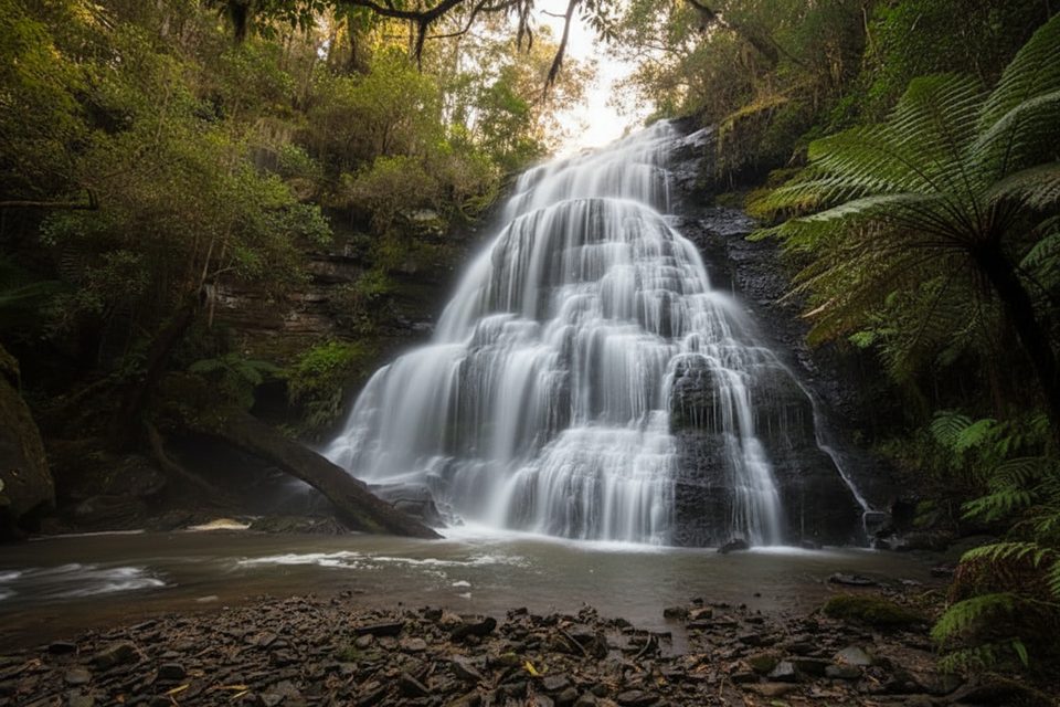
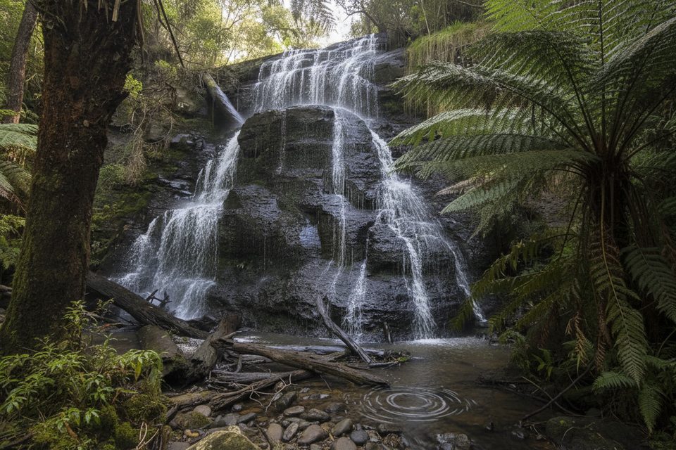
Lower Kalimna Falls is a crowd-pleaser—you can walk behind the curtain of water into the erosion-formed recess for a unique perspective. The forest here is rich with tree ferns and damp, mossy rock that adds drama after rain.
These falls shine after rainfall when flow is strongest, but that’s also when the track is most slippery and muddy. Aim for cooler parts of the day to enjoy the sheltered, dim light under the canopy.
Watch for signs of Short-beaked Echidnas and Long-nosed Bandicoots—their recent digging activity can leave ankle-twisting holes along and beside the track. Snakes inhabit the area; stay alert and stick to the formed path. The “cave-like” alcove behind Lower Kalimna is a natural overhang carved by water eroding softer layers behind a harder cap rock.
Start from the Sheoak Picnic Area car park and follow the signs toward the falls. Footwear with good grip is essential. There may be limited or no mobile reception. No dogs are allowed (assistance dogs have specific entry requirements). No bikes, horses, or motorised devices on management tracks; no drones without a permit; no fires or firearms. If you’re considering the longer loop that adds Cumberland Falls, expect wet, slippery rock-hopping at a river crossing and some steeper sections.
With Upper Kalimna closed, consider other close-by waterfall walks: The Canyon and Phantom Falls, Sheoak Falls, or Erskine Falls—each a short drive from Sheoak Picnic Area.
Park at the Sheoak Picnic Area car park (access off Allenvale Road); trail signage points to Kalimna Falls.
Upper Kalimna and the tramline link are closed due to a damaged pedestrian bridge; obey closure signs. Expect slippery rocks, mud, uneven ground, falling limbs, limited or no mobile reception, and trip hazards from wildlife digging. No dogs, drones without permit, or bikes/vehicles on management tracks; no fires or firearms.
Place · 0.6 mi away
Place · 0.8 mi away
Place · 0.9 mi away
Place · 1.2 mi away
Moderate · 0 mi away
Moderate · 0 mi away
Moderate · 0 mi away
Easy · 0 mi away

Parkwolf Tour Guide
