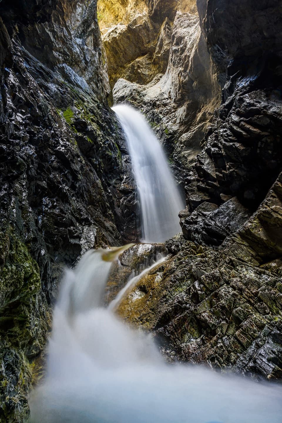
Parking
Start at Music Pass Trailhead at the end of Music Pass Road. High-clearance 4WD is needed for the upper road. With a 2WD vehicle, park where the road crosses the Rainbow Trail and add about 2.5 miles each way.

#4 of 17 trails in Great Sand Dunes
Great Sand Dunes National Park, CO
The steep pass opens onto a high alpine lake basin.
Overview
Map & elevation
Plan your hike

The highest, rockiest slopes around here are a summer buffet for grizzly bears.
Great Sand Dunes Tour Guide
Parkwolf is a GPS audio tour guide for Great Sand Dunes National Park. As you drive, it chimes in with what’s ahead: hidden gems, upcoming stops, history, geology, and wildlife, right through your car’s speakers.
More stories near here in the app
“Fantastic app with many points of information… It’s great to just turn on while you’re driving and it gives you an audio tour of the national Park. We love it!!!!”


Trail guide
Lower Sand Creek Lake Trail is a strenuous out-and-back from Music Pass Trailhead to an alpine lake in the Sangre de Cristo Mountains. The park’s published figure is 8 miles round trip with about 2,000 feet of climbing; mapped versions measure roughly 6½ to 7¼ miles. Allow five to seven hours for the hike itself. This is a full day at high elevation, and the rough drive is part of the commitment. Choose it for a backcountry lake, not a quick viewpoint. If that sounds like more than you want, hike to Music Pass and turn around; the shorter trip is about 2.2 miles round trip and still gives you a broad view into the basin.
The route starts around 10,700 feet and climbs steeply for about a mile through forest to treeline. The high elevation makes this first stretch feel longer than the mileage suggests. As you near the crest, a rocky outlook gives you the first open view across Upper Sand Creek basin. Music Pass is the turning point on the shorter hike, but Lower Lake is still a few rugged miles beyond it.
Past the pass, the route descends roughly 1.2 miles toward the junction for the lakes. This is the change in scenery: the path leaves the exposed ridge for forest and open meadow in the basin. At the junction, take the distinct Lower Sand Creek branch rather than continuing toward Upper Lake. The lower branch crosses Sand Creek, then climbs about 0.9 mile to the lake. On the way back, you’ll repeat that climb to the junction and regain Music Pass before the final descent to the trailhead. Keep some energy for that return ascent; the lake is not the end of the hard work.
The lake sits beneath steep gray mountain walls, with conifers along the shore and snowfields often lingering on the slopes into summer. It’s a simple, wild endpoint rather than a developed picnic area: give yourself time to rest and take in the basin before retracing the route. In midsummer the preserve describes green grass, blooming flowers, and snow still on the peaks. For a photo, frame the steep walls in the water’s reflection from the shore; that reflection makes the lake feel much more enclosed than a view straight at the ridgeline.
The upper Music Pass Trailhead is at the end of Music Pass Road. High-clearance 4WD is needed to reach it. If you have a 2WD vehicle, park where the road meets the Rainbow Trail; that adds about 2.5 miles each way, or five miles round trip, before the lake hike. Snow can block the trail from November into June, and drifts may remain into early summer, so this is usually a summer or fall outing. Check conditions before the drive. Leashed pets are allowed in the preserve. No trailhead food, potable water, or toilet was confirmed, so bring what you need for the day.
Wildlife
 16 sightingsElkMost seen around 7 PMSighting map
 21 sightingsPronghornMost seen around 7 PMSighting map
 12 sightingsWild TurkeyMost seen around 7 AMSighting map
 153 sightingsMule DeerMost seen around 6 AMSighting map
 38 sightingsRavenMost seen around 9 AMSighting map
 15 sightingsRed-tailed HawkMost seen around 11 AMSighting map
Sighting maps show where each species has been reported across Great Sand Dunes. Wildlife moves, so no sighting is guaranteed.
Keep exploring
 ModerateMusic Pass Trail2.2 mi · 2 hr · At the trailheadA steep climb to a sweeping Sand Creek basin view.
 ChallengingUpper and Lower Sand Creek Lakes Hike9.9 mi · 6.5 hr · At the trailheadTwo lakes beyond Music Pass, with hard miles in between.
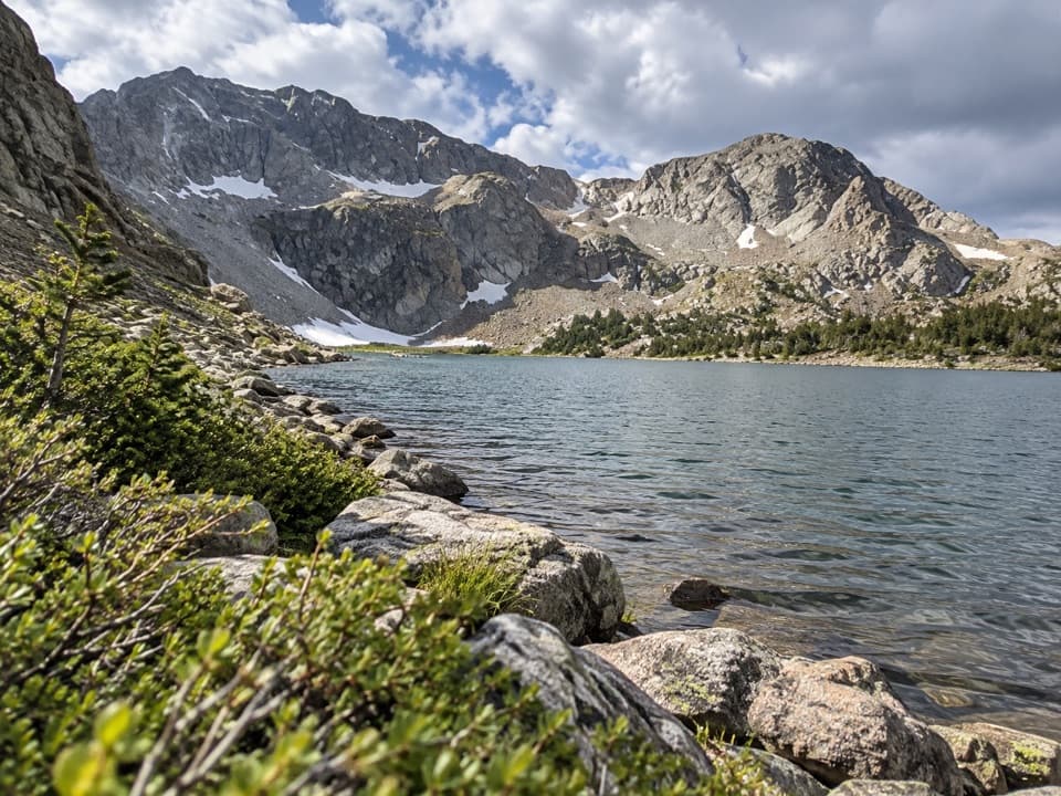 ChallengingUpper Sand Creek Lake Trail7.7 mi · 7.5 hr · At the trailheadHigh alpine lake after a steep pass and loose basin descent.
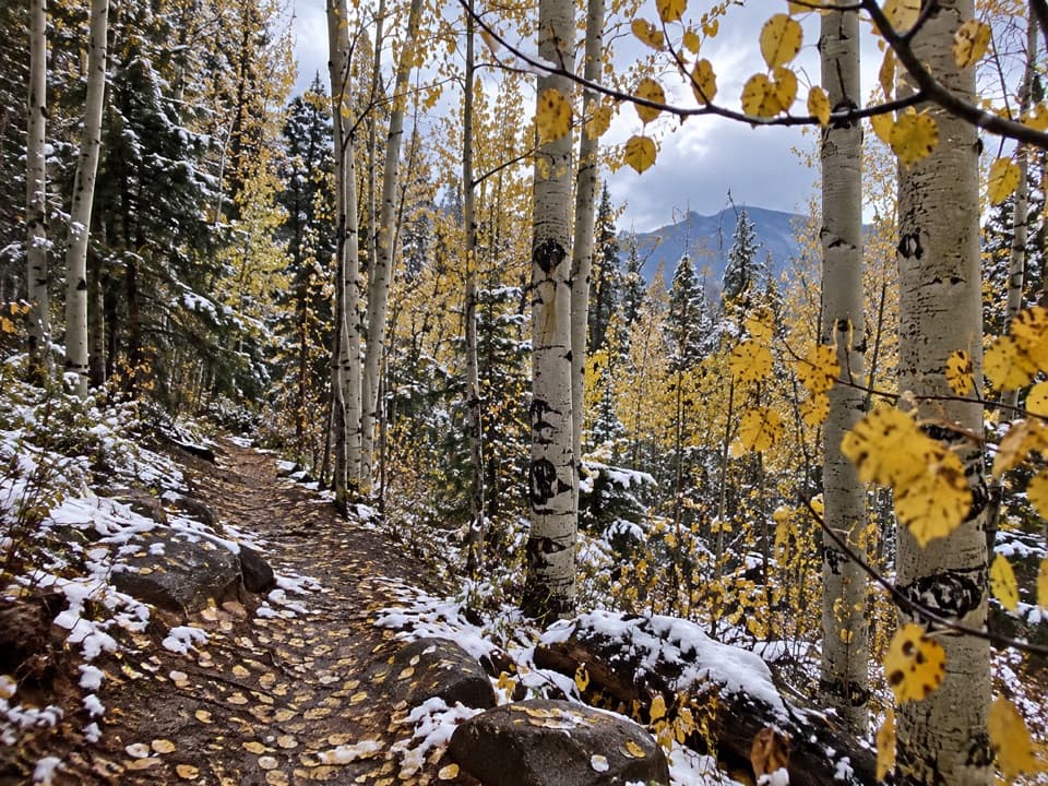 ChallengingMedano Lake Trail7.4 mi · 5.5 hr · 5.7 mi awayCreekside forest climbs to an alpine lake beneath Mount Herard.
 ChallengingSand Creek Trail10 mi · 9 hr · 6.7 mi awayA full-day creek climb to alpine lakes; high water can stop you.
 ChallengingLiberty Stage Road14.8 mi · 7.5 hr · 8.9 mi awayA long old-road walk to lower Sand Creek and Crestone views.
 ChallengingDeadman Creek Trail14.8 mi · 10 hr · 8.9 mi awayA faint creek route for confident backcountry navigators.
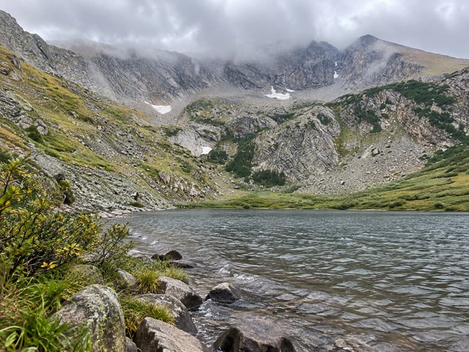 ChallengingMedano Lake via Medano Pass Primitive Road25.2 mi · 12.5 hr · 11.5 mi awayA long road-and-trail climb reaches Medano Lake beneath Mount Herard.
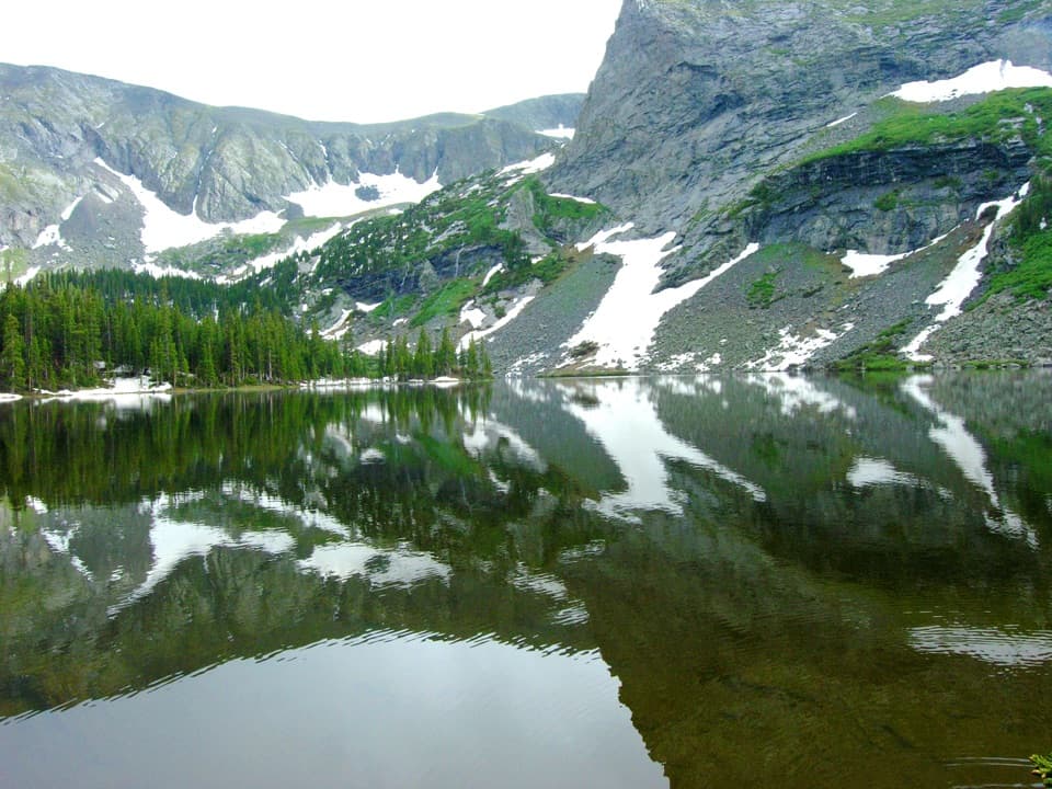 Sight · 2.5 mi awayLower Sand Creek LakeAn alpine lake past Music Pass, reached by a hard hike.
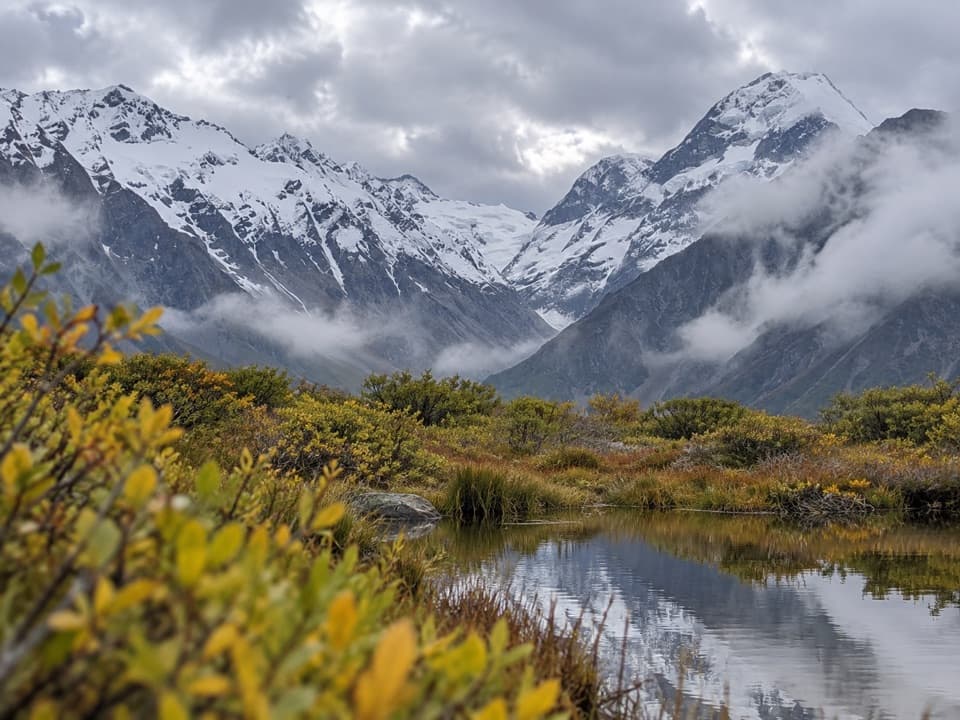 Sight · 2.9 mi awayLittle Sand Creek LakesA remote pair of alpine lakes beyond the steep Music Pass climb.
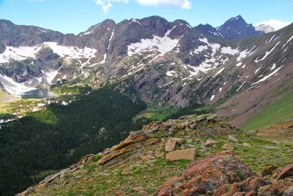 Sight · 3.1 mi awayUpper Sand Creek LakeAn alpine lake beyond Music Pass, reached by a long high-country climb.
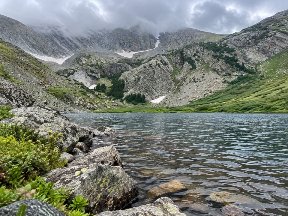 Sight · 4.7 mi awayMedano LakeA timberline lake after 2,000 feet of climbing from a 4WD road.
 Sight · 5.2 mi awayMount HerardA steep, remote climb earns a view over the entire dune field.
 Sight · 5.6 mi awayMedano PassA high-country crossing reached by a demanding 4WD road.
 Sight · 7.9 mi awayHerard HomesteadA remote ranch ruin with a remarkable bighorn story.
 Sight · 9.4 mi awayIndian GroveGenerations of bark harvesting left their mark on this living pine grove.
Parkwolf’s Great Sand Dunes ranking

The audio tour guide for the drive, plus offline maps, trails, and wildlife heatmaps for when the signal drops.