Place
Easy

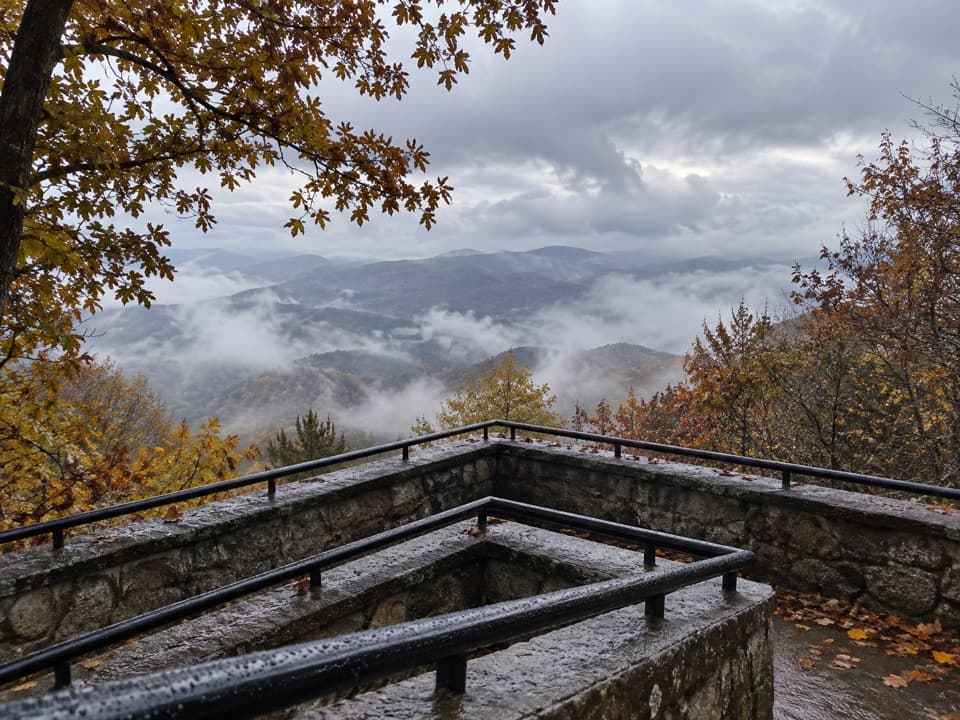
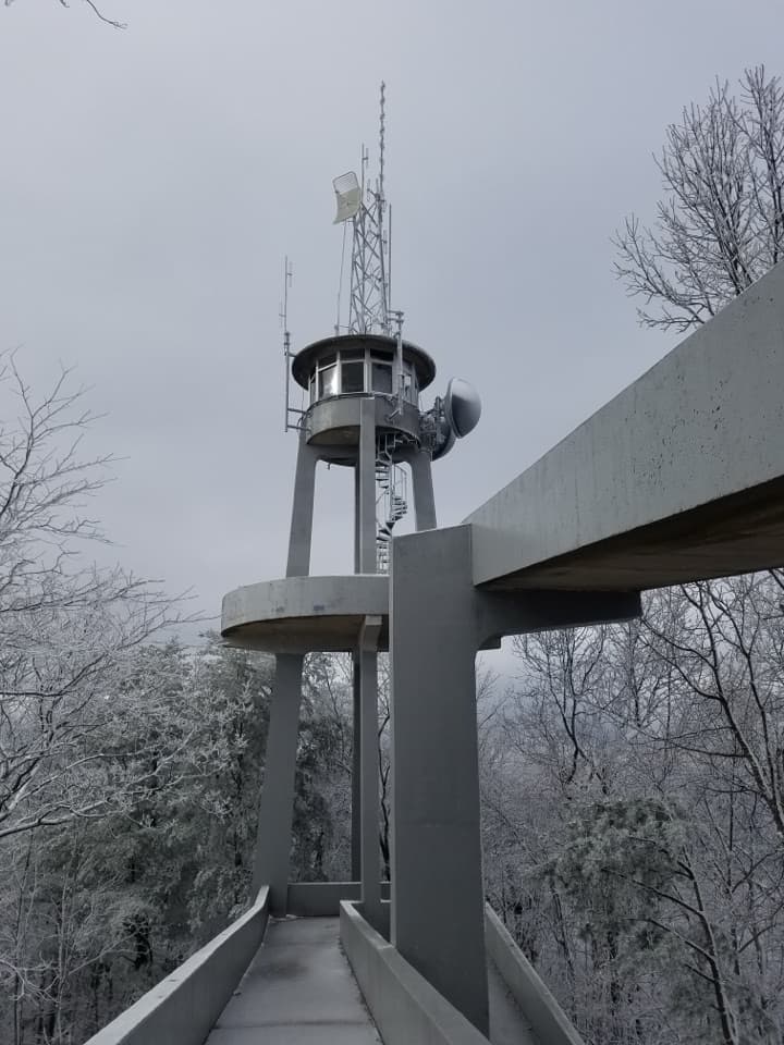
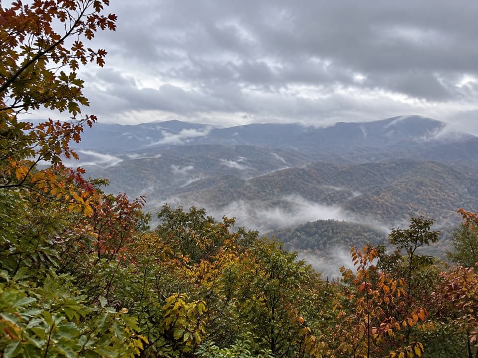
This is the Smokies’ quick win: a short, paved out-and-back to a concrete observation tower with a massive, 360-degree payoff. The route is 0.8 miles roundtrip (total), gains roughly 170–200 feet, and trades switchbacks for a steady push. From the platform, you’ll survey the main Smokies crest, the Tennessee Valley, and even the Cumberland Plateau—on a clear day, visibility can reach 40–50 miles. It’s often quieter than the park’s marquee overlooks thanks to its perch along the Foothills Parkway.
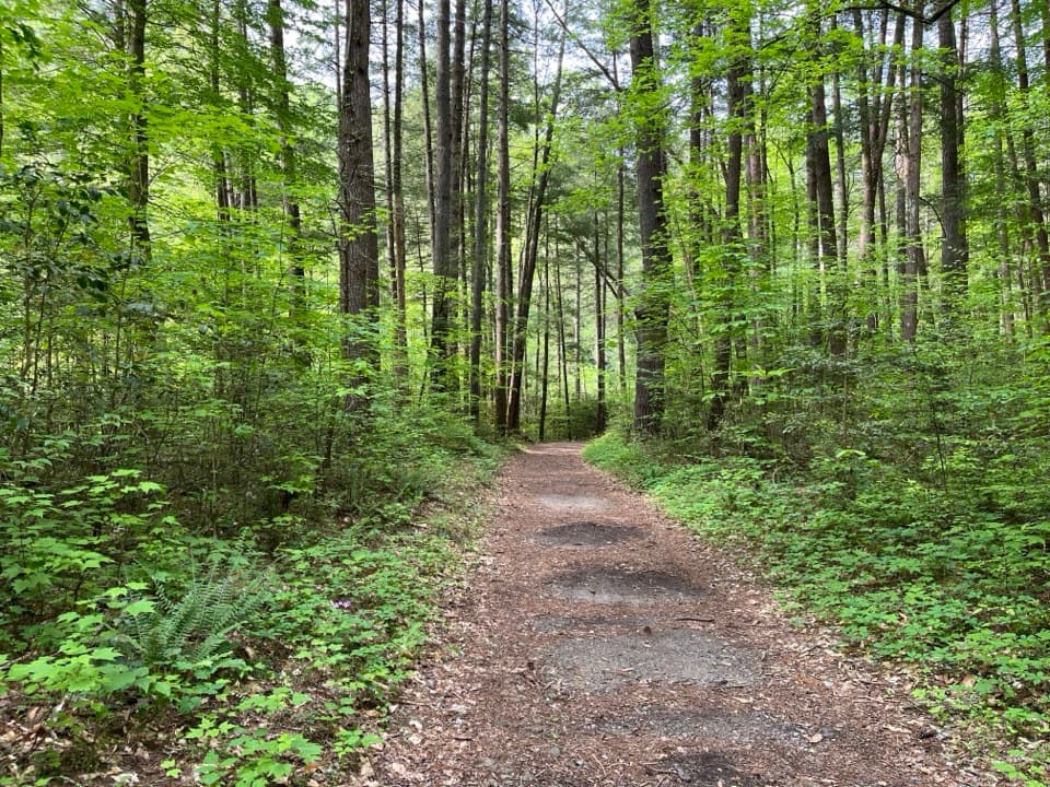
You’ll start from a pullout along the Parkway and cross at a signed crosswalk to the paved path. The grade is consistent and will feel like an “uphill trek” in spots, with sustained 5–8% and short 8–12% pitches. The walkway is smooth asphalt and about 8 feet wide, passing an air quality monitoring station on the way up through dense hardwoods. At the top, the observation platform is open (the enclosed upper room with instruments is not). It can be windy, and the railing feels low—keep a close eye on small children. Some visitors poke around the boulder outcrops just beyond the tower area; step carefully if you explore. Expect occasional vehicle or motorcycle noise from the Parkway.
Look Rock is the high point of the Foothills Parkway at 2,652 feet, knobbed up on the Chilhowee Mountain ridge—a transitional uplift between the big Smokies peaks and the Tennessee Valley. That “zoomed-out” position is why the panorama is so sweeping; on clear days you can spot Clingmans Dome, Mount LeConte, and ridges marching off toward the Plateau.
Open year-round, though the Foothills Parkway can close during winter weather. Pavement can be slick with fall leaves and icy in winter. The most popular window is April–September, but fall color is outstanding. Aim for sunrise or sunset for softer light, cooler temps, and fewer people—this is a photographer’s sweet spot.
Absolutely—maximum views for minimal time and effort, without the crush found at the park’s biggest name overlooks. Just know it’s a steady uphill on the way up, amenities are limited at the trailhead, and wind is common up top.
Foothills Parkway West between mile markers 14–15. Park at the roadside pullout across from the trailhead and use the signed crosswalk. A park parking tag is required; accessible spaces are signed.
Pavement has sustained uphill grades with short steep pitches; can be slick with fall leaves or winter ice. Wind is common on the tower, and the railing feels low for kids. Cross the Parkway only at the signed crosswalk. Foothills Parkway may close during winter weather.