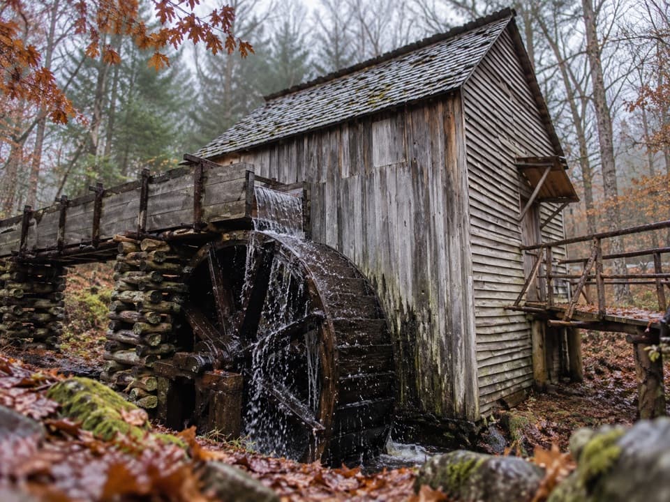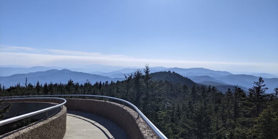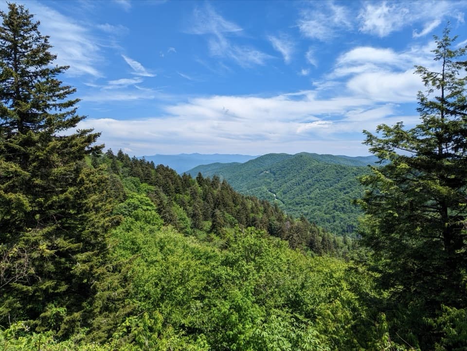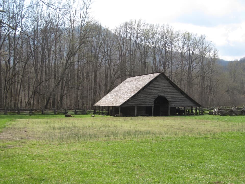
Cades Cove Overlook in Great Smoky Mountains National Park

Scenic pullout · Great Smoky Mountains National Park

Cades Cove Overlook

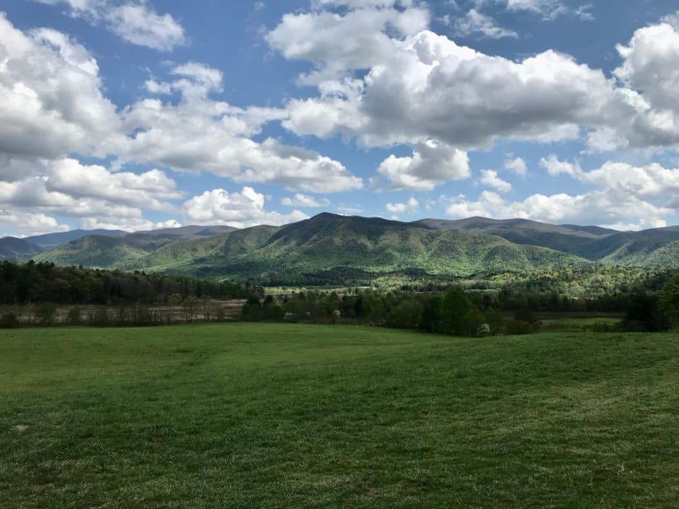
Open fields and a mountain rim make this a rewarding loop stop.

Photo: National Park Service
Type
Scenic pullout
Nearest trail
0.8 mi
Audio stories
13 nearby
  • Scenic viewpoint
  • Exhibit

Hear the audio tour

Cades Cove Overlook

Overview

About Cades Cove Overlook

Why stop

  • Broad view over the cove’s open fields and ridges.

Heads up

  • Reaching it takes time on a slow, one-way loop drive.

Map

Where it is

Loading the Great Smoky Mountains map
Full map
Scenic pulloutCades Cove Overlook35.60573, -83.83287
Keep this map with you offline in the Parkwolf app

Plan your stop

Before you go

7 active Great Smoky Mountains alerts

  • ClosureHurricane Helene trail damage and backcountry restrictionsHurricane Helene damage has restricted backcountry trail access; avoid damaged crossings and observe trail-specific limits.Official details
  • CautionBear-related trail, campsite, and road restrictionsBear activity has closed trails, a shelter, and campsites and restricted pedestrian access on Cherokee Orchard Road; stay out of closed areas and follow vehicle-only rules.Official details

See all 7 alerts
A park ranger sits on a dash-mounted phone, talking, as Parkwolf’s Tour Guide plays “Army Cutworm Moths: A Grizzly Bear Buffet” on Grand Loop Road below Dunraven Pass in Yellowstone
Parkwolf Tour GuideThe highest, rockiest slopes around here are a summer buffet for grizzly bears.

Great Smoky Mountains Tour Guide

Your drive to Cades Cove Overlook, narrated.

Parkwolf is a GPS audio tour guide for Great Smoky Mountains National Park. As you drive, it chimes in with what’s ahead: hidden gems, upcoming stops, history, geology, and wildlife, right through your car’s speakers.

See the Great Smoky Mountains audio tour

Recorded for this place

Cades Cove Overlook
0:00 / 0:17
“Cades Cove Overlook is coming up, a quick roadside stop for the open fields and mountain rim. Those fields stay open because the park mows and uses prescribed fire to keep forest from taking over.”

Plays as you drive up to Cades Cove Overlook in the Parkwolf Great Smoky Mountains Tour Guide.

More stories near here in the app

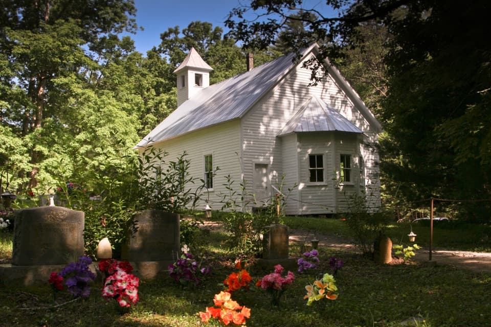
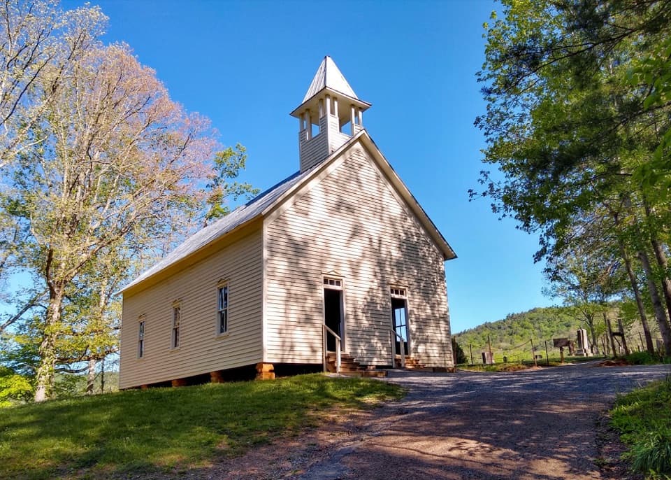
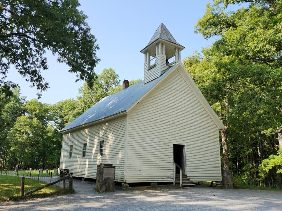
  • Cades Cove Missionary Baptist Church
  • Rich Mountain Road Overlook
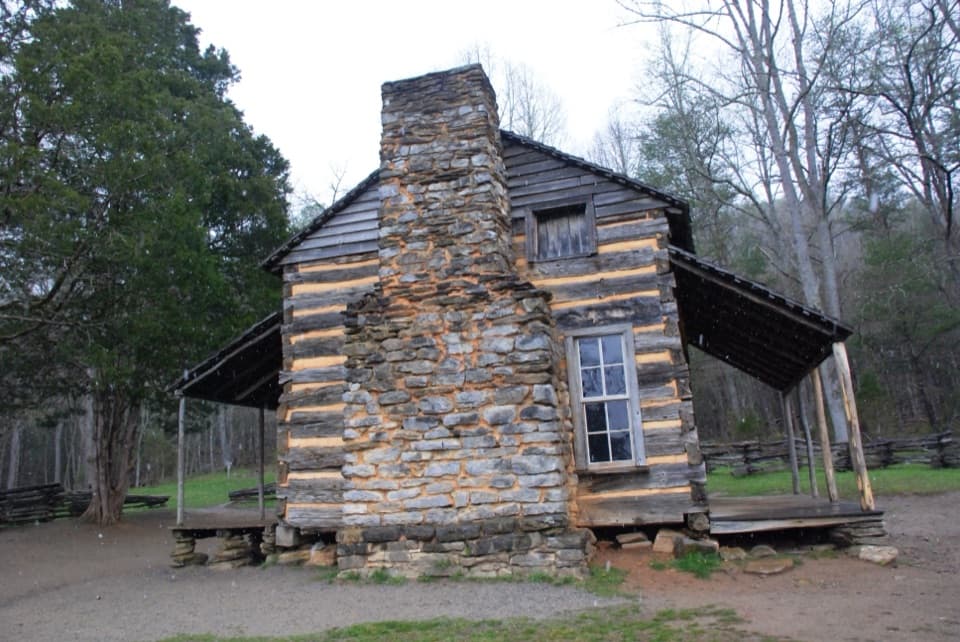
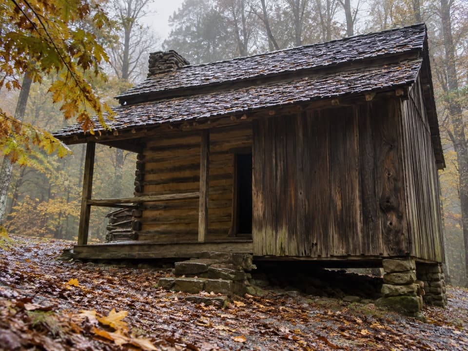
  • Elijah Oliver Place
  • Cades Cove Methodist Church
  • 200 audio storiesacross Great Smoky Mountains’s roads, triggered by GPS as you drive
  • Wildlife heatmapsfor Black Bear, Elk, Bald Eagle, and 13 more
  • Works offlinemaps, 197 trails, 137 places, and audio download before you lose signal
  • CarPlay readysimple controls built for the drive
★★★★★
“Fantastic app with many points of information… It’s great to just turn on while you’re driving and it gives you an audio tour of the national Park. We love it!!!!”
JMJamesApp Store review
Download Parkwolf on the App StoreGet Parkwolf on Google Play

4.7 from 8,600+ ratings

Guide

More about Cades Cove Overlook

A broad view on the loopCades Cove Overlook is a roadside scenic stop on the one-way loop road, looking across open…

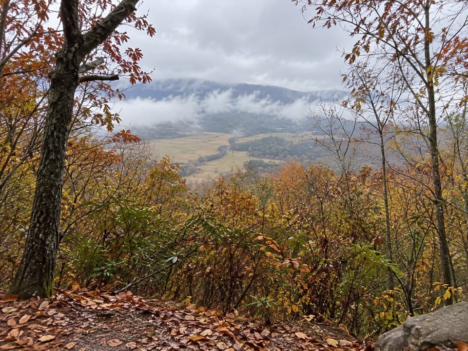
Cades Cove Overlook is a roadside scenic stop on the one-way loop road, looking across open valley fields to the surrounding mountains. It has historical interpretive information, and the main payoff is the wide view rather than a hike or a single landmark. Keep it in the plan if you have time to tour the cove.

Budget for the driveThe loop is 11 miles and one-way; allow at least two to four hours for the drive, with more…

The loop is 11 miles and one-way; allow at least two to four hours for the drive, with more time when traffic is heavy. Summer and fall, plus weekends year-round, are the slowest periods. The road is typically closed to vehicles on Wednesdays from May through September, creating a vehicle-free day; check current access before you go.

Take in the whole valleyThe view is about layers: grassy fields in front, a tree line across the cove, and long wooded…

The view is about layers: grassy fields in front, a tree line across the cove, and long wooded ridges beyond. For a photo, leave some of the open ground in the foreground. It gives the cove its scale and keeps the ridges from becoming just a dark strip on the horizon.

A lived-in landscapePeople have used Cades Cove for thousands of years.

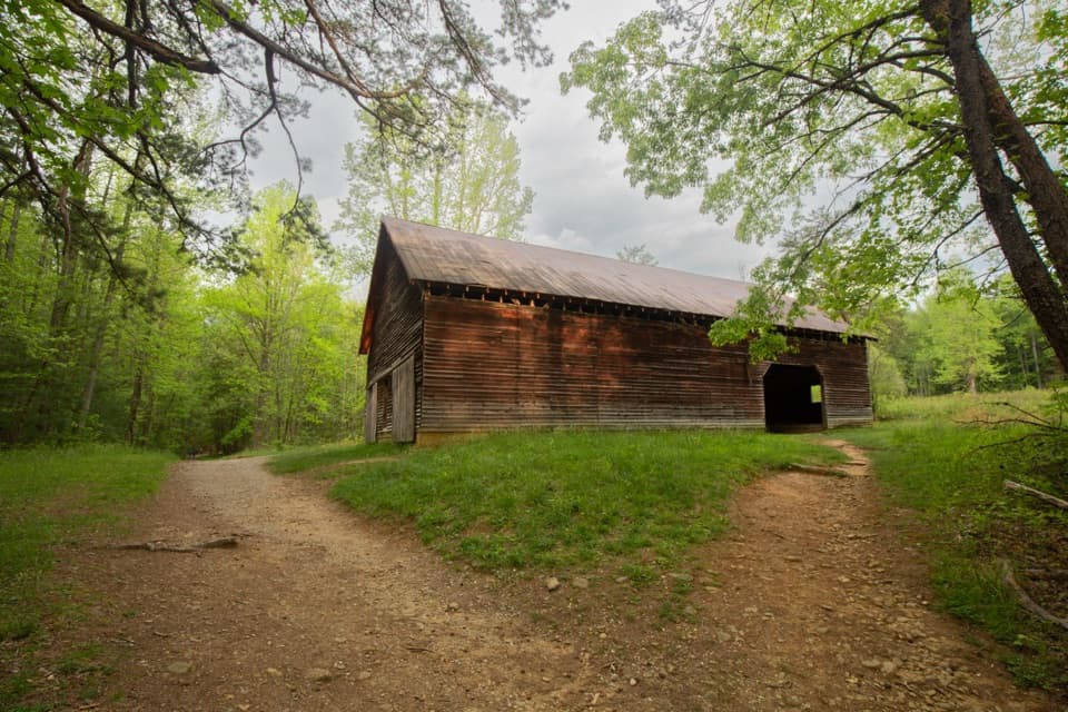
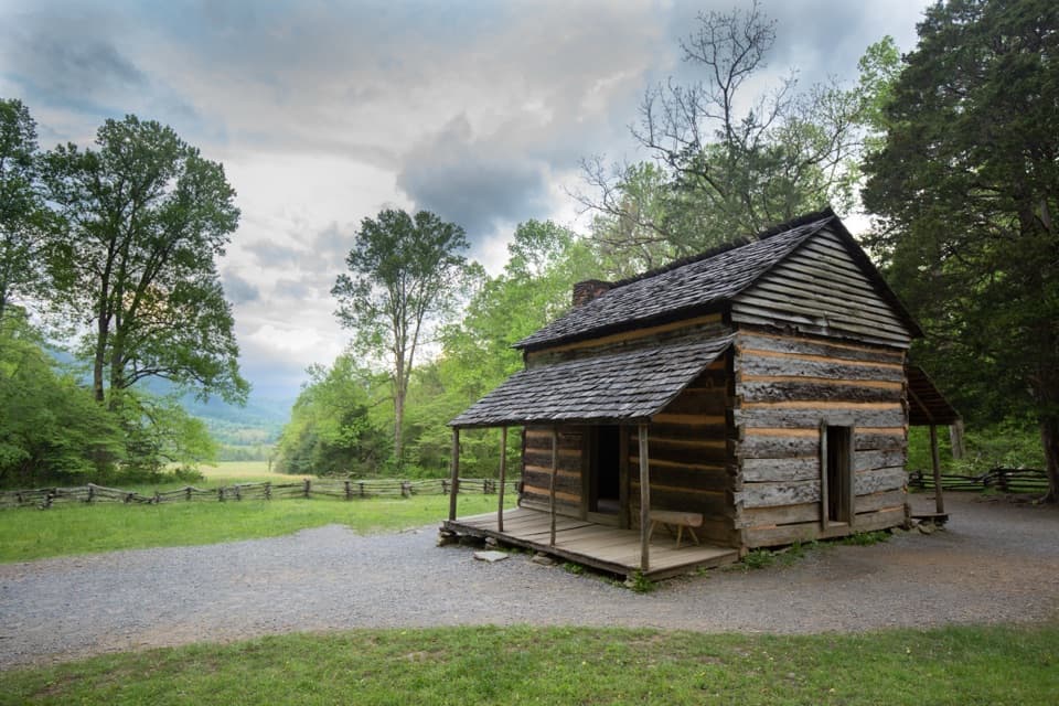
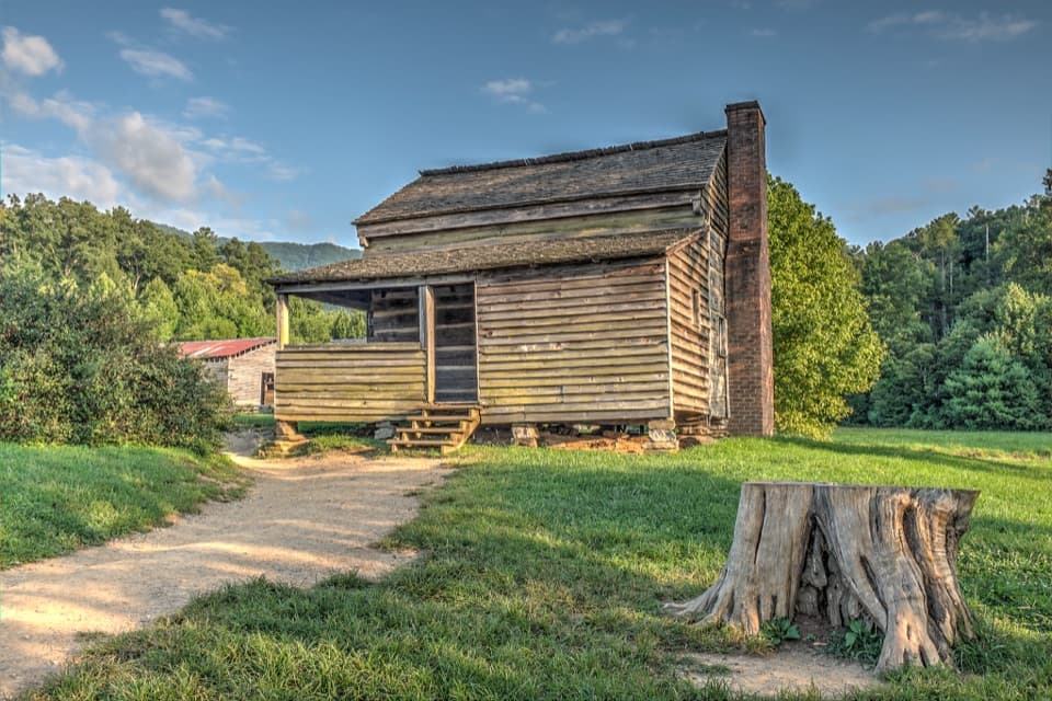
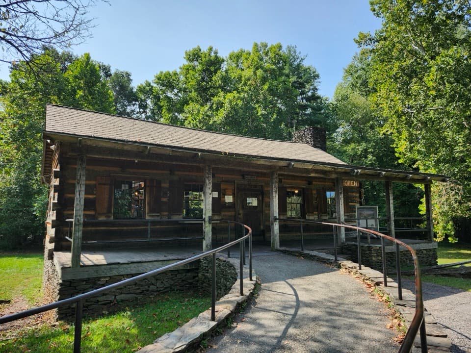
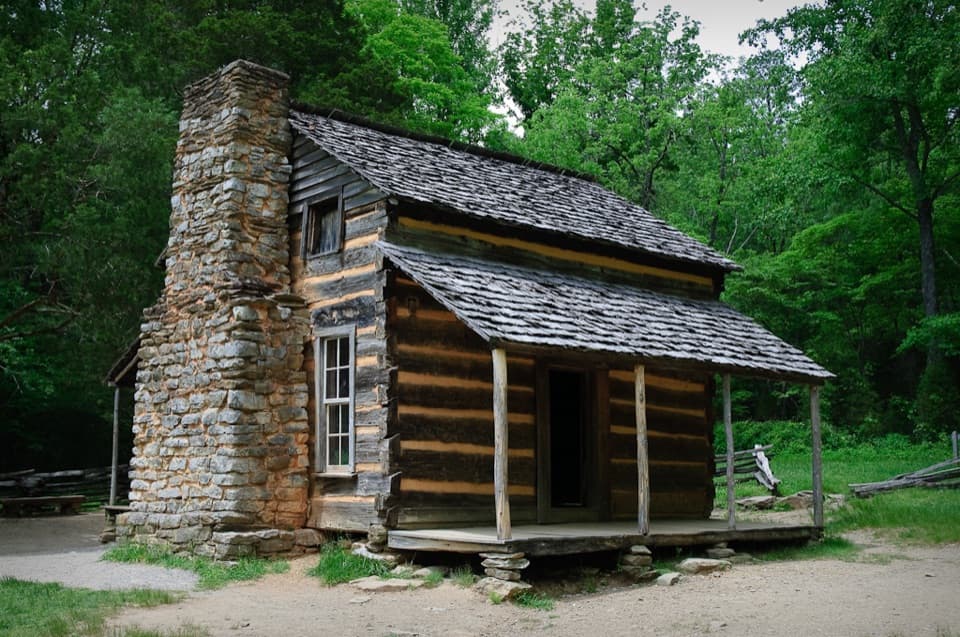
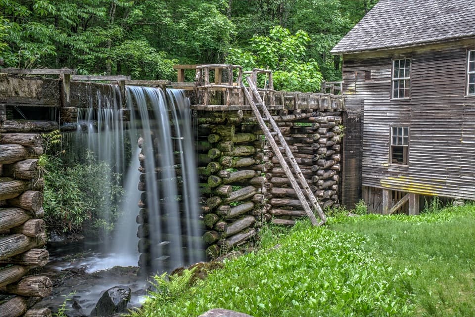
People have used Cades Cove for thousands of years. Cherokee people called it Tsiyahi, meaning “Otter Place.” European settlers arrived between 1818 and 1821, and more than 700 people lived here around 1900. The churches, gristmill, barns, and log houses are spread around the loop, so make separate stops if you want to see them up close. The park maintains the open grassland with mowing and prescribed fire, keeping the valley floor from returning to forest.

A geological windowThe cove’s limestone floor is younger than the surrounding mountain rocks.

The cove’s limestone floor is younger than the surrounding mountain rocks. Older rock was pushed over it by faulting, then weathered away, exposing the younger limestone below. That difference helps explain the open valley set inside the high ridges.

Wildlife

Wildlife in Great Smoky Mountains

All Great Smoky Mountains wildlife maps

Sighting maps show where each species has been reported across Great Smoky Mountains. Wildlife moves, so no sighting is guaranteed.

Keep exploring

Near Cades Cove Overlook

See it all on the map

Trails nearby

More stops nearby

Parkwolf’s Great Smoky Mountains ranking

Top sights in Great Smoky Mountains

All 137 places
  1. 1Kuwohi Observation TowerSight
  2. 2Newfound Gap OverlookSight
  3. 3Cable Mill Historic AreaSight
  4. 4Mountain Farm MuseumSight
  5. 5John Oliver CabinSight
  6. 6Mingus MillSight

Take Parkwolf to Great Smoky Mountains.

The audio tour guide for the drive, plus offline maps, trails, and wildlife heatmaps for when the signal drops.

4.7 from 8,600+ ratings

Download Parkwolf on the App StoreGet Parkwolf on Google Play