Crooked Arm Ridge Trail in Great Smoky Mountains National Park

Great Smoky Mountains National Park, TN · NC

Crooked Arm Ridge Trail

Steep forest gives way to a late view into Cades Cove

Length
4.3mi
Time
3.5hr
Elev. change
1,365ft
Difficulty
Challenging
  • No dogs
  • High point 3,337 ft

Hear the audio tour

Rich Mountain Loop Trailhead

Overview

About Crooked Arm Ridge Trail

Why go

  • A ridge view over Cades Cove opens late in the climb
  • A standalone climb without committing to the longer Rich Mountain Loop

Heads up

  • Steep, rocky lower climb with roots and two stream crossings
  • The entrance-lot approach adds walking that published mileage does not clearly settle

Map & elevation

The route

Loading the Great Smoky Mountains map
Full map
Elevation1,972–3,337 ft
TrailheadCrooked Arm Ridge Trail junction35.61030, -83.78276
Keep this map with you offline in the Parkwolf app

Plan your hike

Before you go

Parking

Use the entrance-side lot near milepost 0.517. Cross the road and follow the roadside path and field edge to the signed Crooked Arm Ridge junction. The approach is described as about 0.5 mile, but mileage sources conflict, so plan for extra walking beyond the mapped 4.3-mile trail out-and-back. A parking tag is required for vehicles parked more than 15 minutes. Cades Cove Loop Road is typically closed to vehicles on Wednesdays from May through September.

Safety

The lower trail has rough rock, exposed roots and two rock-hop crossings of Crooked Arm Branch; wet leaves can hide obstacles and become slippery. Pets are prohibited on this trail under park rules.

7 active Great Smoky Mountains alerts

  • ClosureHurricane Helene backcountry trail closures and hazardsHurricane Helene damage has closed backcountry trails and left hazardous crossings; avoid closed routes and heed trail-specific restrictions.Official details
  • CautionBear-related trail, road, shelter, and campsite restrictionsBear activity has closed trails, a shelter, and campsites and restricted pedestrian access on Cherokee Orchard Road; follow the vehicle restrictions and avoid closed areas.Official details
See all 7 alerts
A park ranger sits on a dash-mounted phone, talking, as Parkwolf’s Tour Guide plays “Army Cutworm Moths: A Grizzly Bear Buffet” on Grand Loop Road below Dunraven Pass in Yellowstone
Parkwolf Tour GuideThe highest, rockiest slopes around here are a summer buffet for grizzly bears.

Great Smoky Mountains Tour Guide

Your drive to Crooked Arm Ridge Trail, narrated.

Parkwolf is a GPS audio tour guide for Great Smoky Mountains National Park. As you drive, it chimes in with what’s ahead: hidden gems, upcoming stops, history, geology, and wildlife, right through your car’s speakers.

See the Great Smoky Mountains audio tour

Recorded for this area

Rich Mountain Loop Trailhead
0:00 / 0:22
“You're coming up on Rich Mountain Loop trailhead, for an eight point five-mile circuit above Cades Cove. Allow about five hours, with a long climb, repeated creek crossings and a steep descent.”

Plays on the road 0.4 mi from the trailhead in the Parkwolf Great Smoky Mountains Tour Guide.

More stories near here in the app

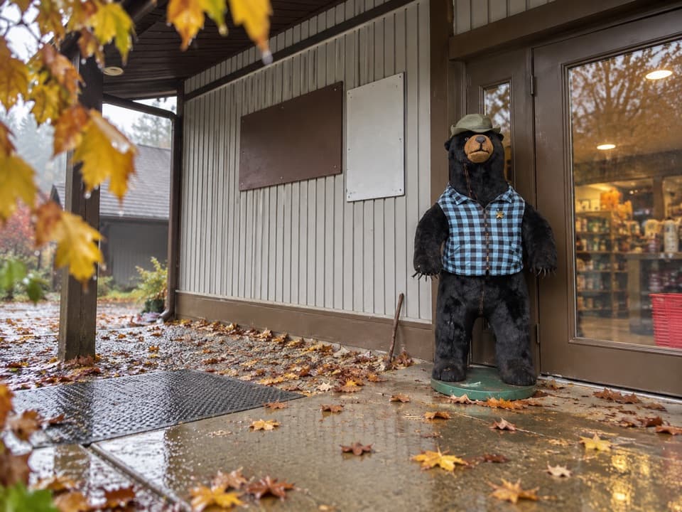
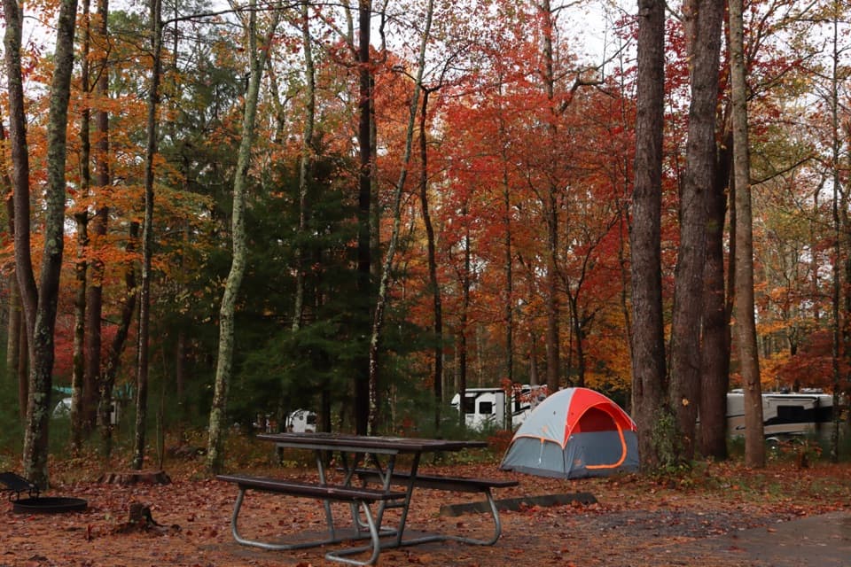
  • Cades Cove Campground Store and Riding Stables
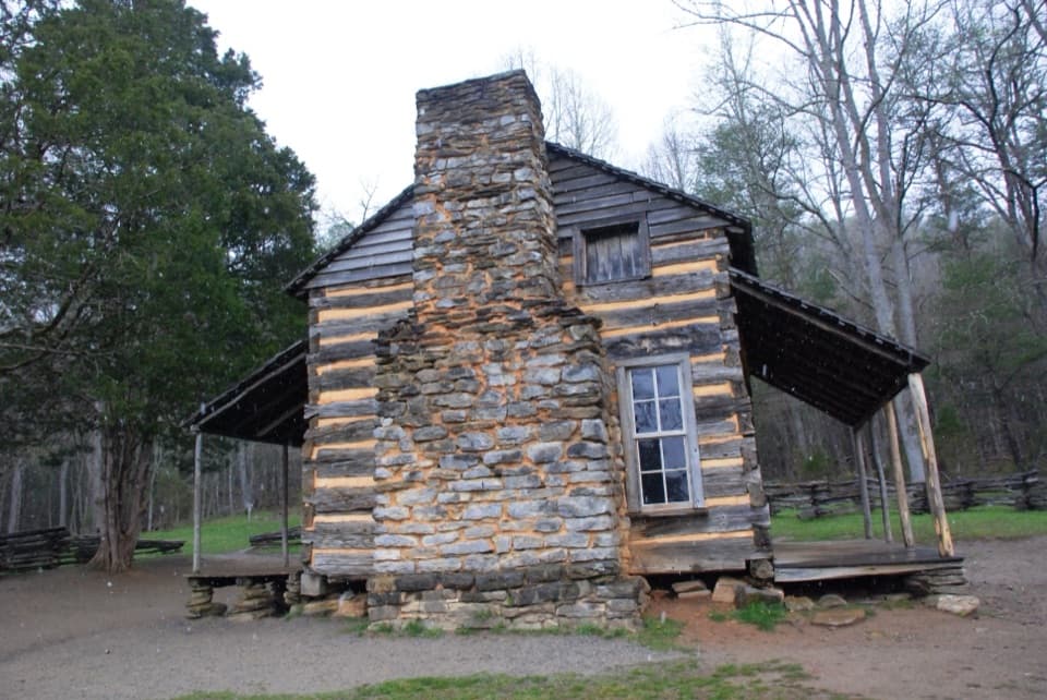
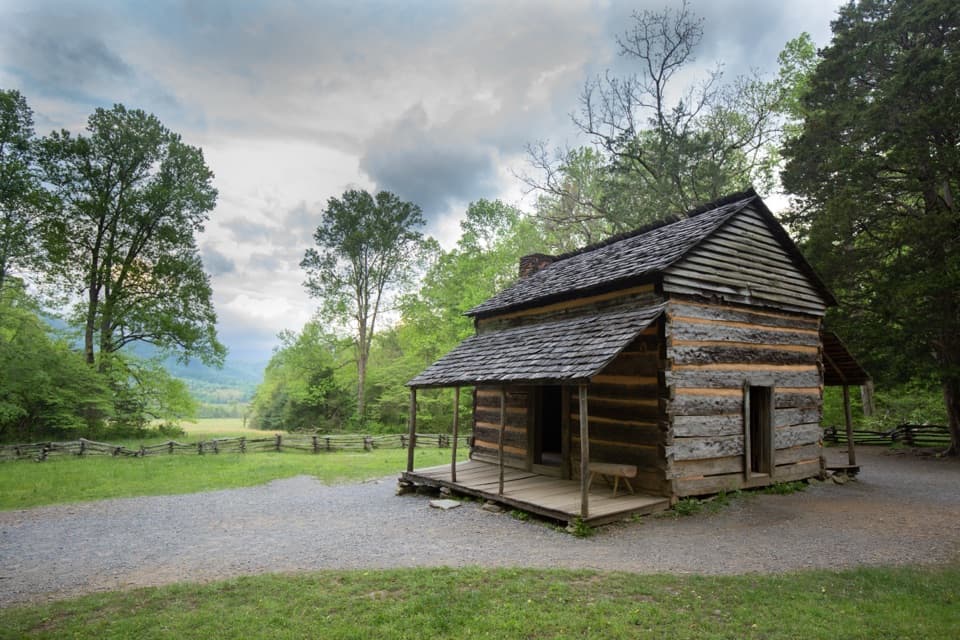
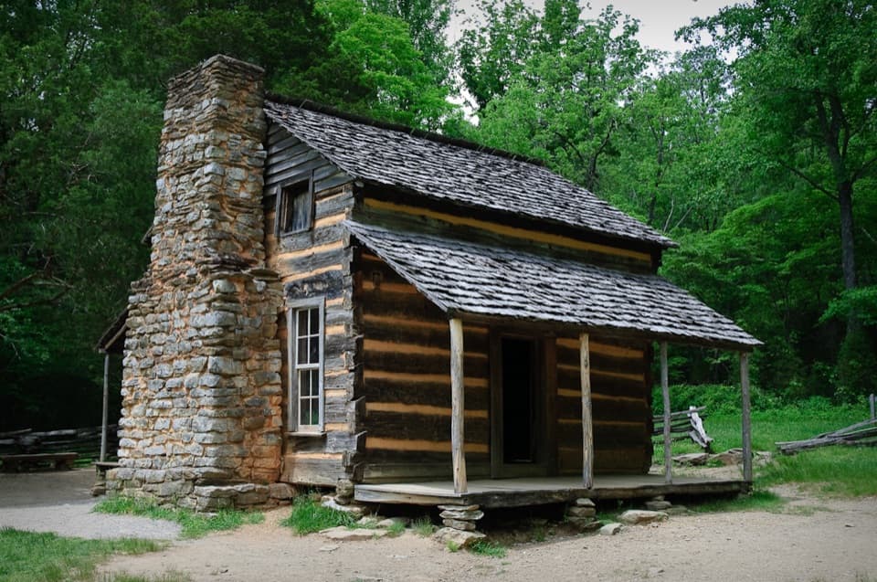
  • John Oliver Cabin
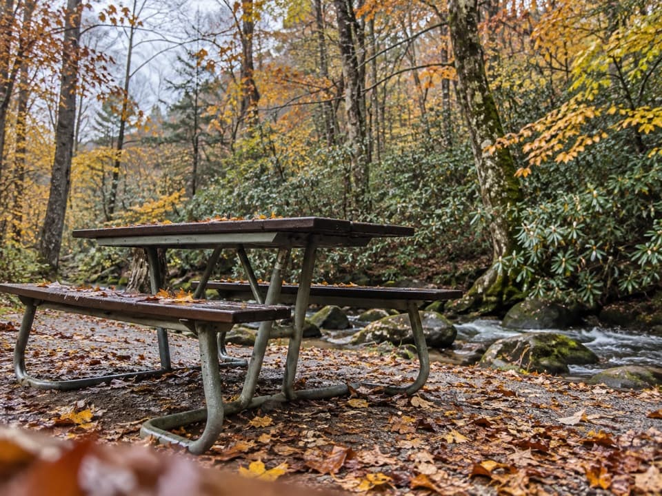
  • Cades Cove Picnic Area
  • Carter Shields Cabin
  • 188 audio storiesacross Great Smoky Mountains’s roads, triggered by GPS as you drive
  • Wildlife heatmapsfor Black Bear, Elk, Bald Eagle, and 13 more
  • Works offlinemaps, 197 trails, 100 places, and audio download before you lose signal
  • CarPlay readysimple controls built for the drive
★★★★★
“Fantastic app with many points of information… It’s great to just turn on while you’re driving and it gives you an audio tour of the national Park. We love it!!!!”
JMJamesApp Store review
Download Parkwolf on the App StoreGet Parkwolf on Google Play

4.7 from 8,600+ ratings

Trail guide

Hiking Crooked Arm Ridge Trail

A climb above Cades CoveCrooked Arm Ridge is a steep, wooded out-and-back from its junction with Rich Mountain Loop to…

Crooked Arm Ridge is a steep, wooded out-and-back from its junction with Rich Mountain Loop to the Scott Mountain and Indian Grave Gap junction. The mapped named trail is about 2.1 miles each way, or 4.3 miles retraced, with roughly 1,400 feet of climbing; allow about 3.5 to 4 hours on the trail. The entrance-side parking lot is separate from the mapped start: one route description puts the approach near half a mile, but its mile markers conflict with its published 2.2-mile distance. The 4.3-mile figure here covers the named ridge trail and excludes that access walk.

A rough start, then a long climbThe lower trail follows Crooked Arm Branch over rough rock and exposed roots, with two rock-hop…

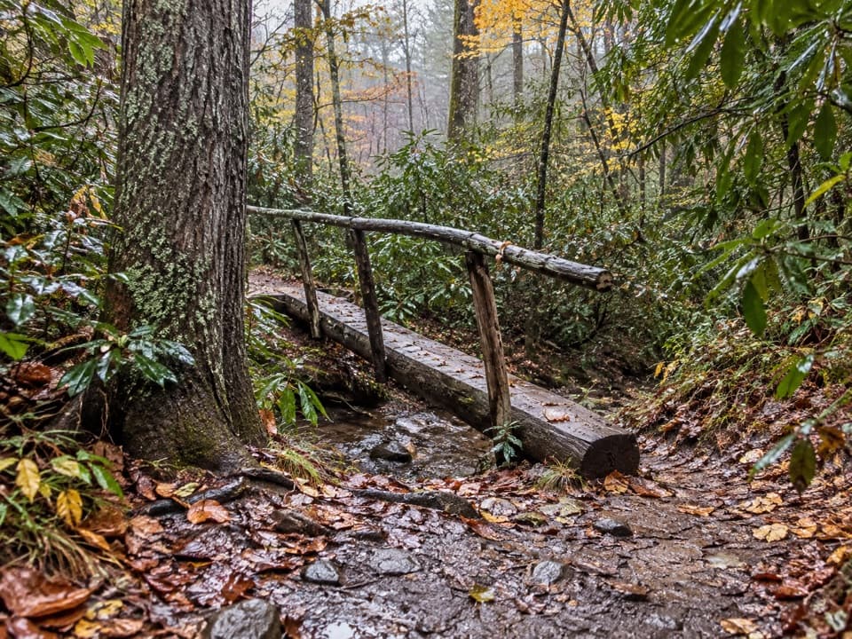
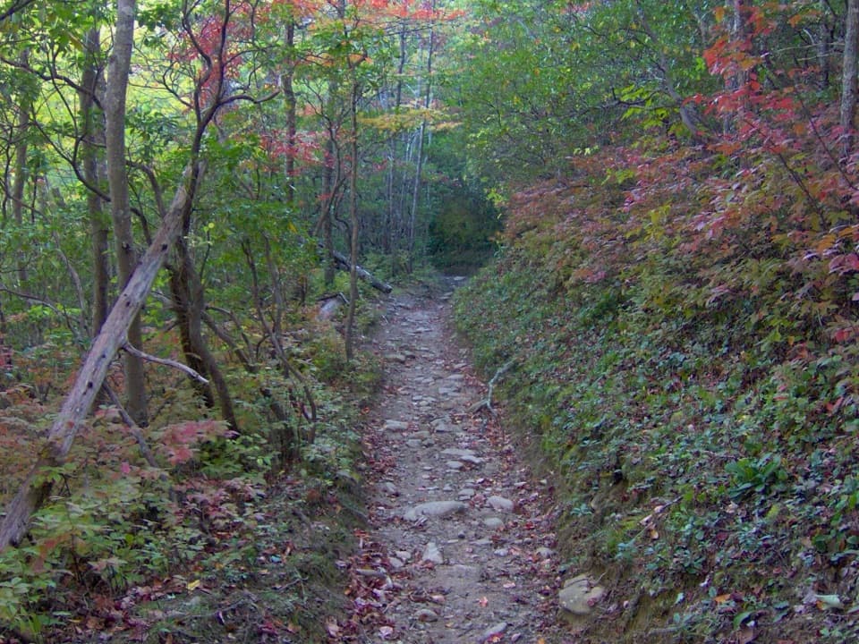
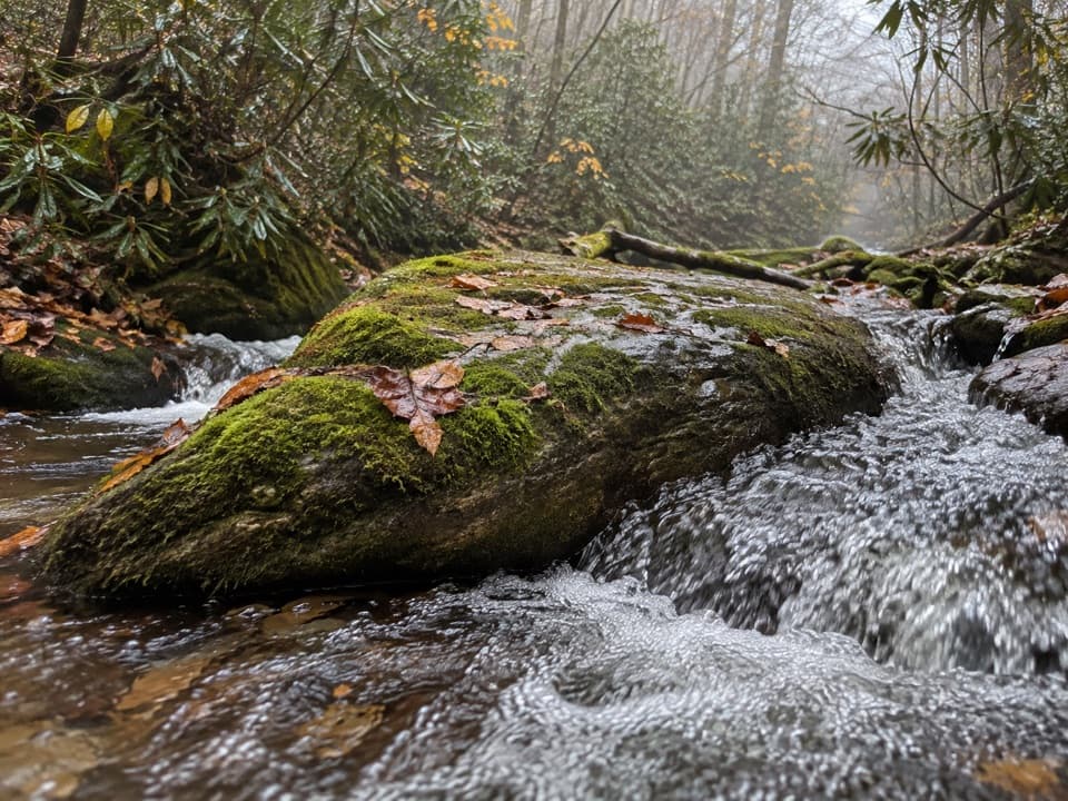
The lower trail follows Crooked Arm Branch over rough rock and exposed roots, with two rock-hop stream crossings. Beyond the ravine, a steeper stretch of switchbacks carries you onto the ridge. Wet leaves can hide uneven footing and become slick, so take care when the ground is covered.

Look left for the CoveThe climb eases along the ridge, though trees partly screen the Cades Cove fields. Around 1.

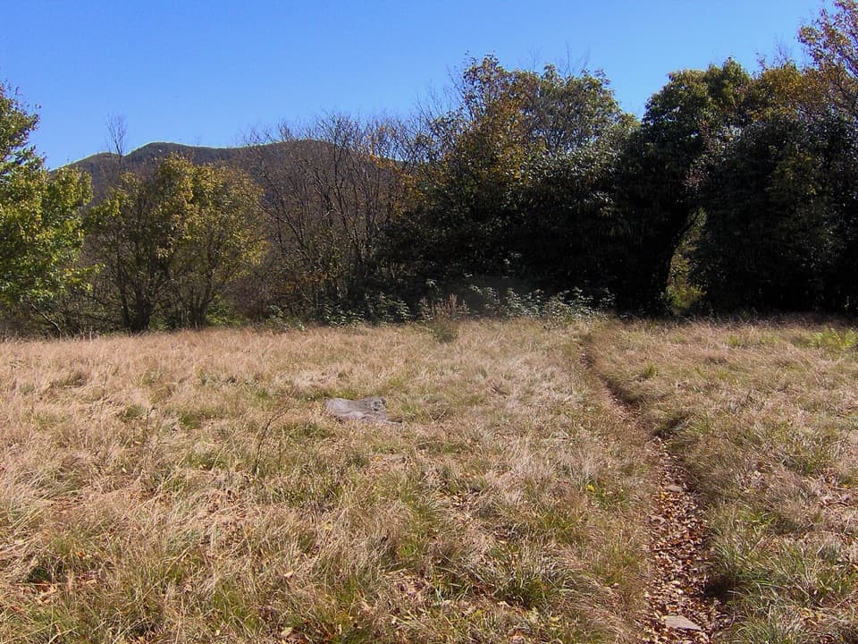
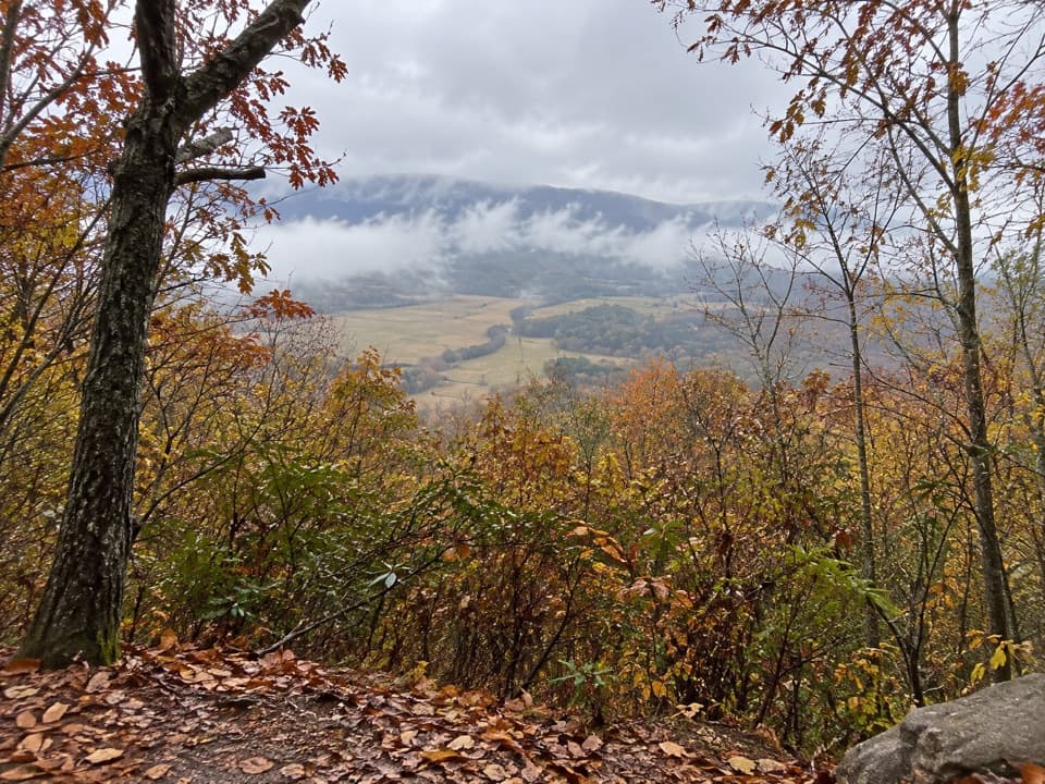
The climb eases along the ridge, though trees partly screen the Cades Cove fields. Around 1.75 miles into the mapped route, a left-side opening gives the clearest view described on the trail. It is a framed hillside view rather than an open summit; branches in the foreground help show how high the viewpoint sits above the Cove.

A small choice near the endClose to the Scott Mountain and Indian Grave Gap junction, a short fork offers two different…

Close to the Scott Mountain and Indian Grave Gap junction, a short fork offers two different looks before the paths rejoin. The upper, right-hand option has a view into Laurel Creek drainage that opens up more in fall and winter. The lower, left-hand line descends beside rhododendron. Turn around at the junction for this standalone hike; continuing onto the connected trails makes a different, longer outing.

The valley belowCades Cove has been a hunting ground for Cherokee people for centuries.

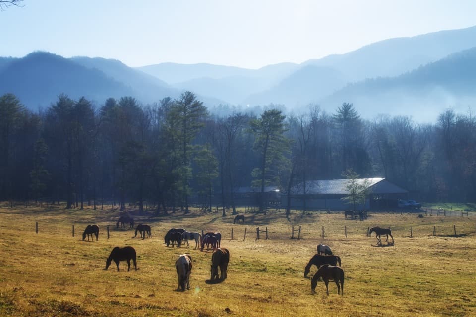
Cades Cove has been a hunting ground for Cherokee people for centuries. European settlers arrived around 1818 to 1821, and the valley had 271 residents by 1830. The ridge gives you a view over this historic, mountain-ringed landscape, though no specific historical event is tied to the trail itself.

Parking and practicalitiesThe closest mapped parking is the entrance-side lot near milepost 0.517.

The closest mapped parking is the entrance-side lot near milepost 0.517. From there, cross the road and follow the roadside path and field edge toward the signed Crooked Arm Ridge junction; the access approach is described as roughly half a mile, but its distance is unsettled, so expect additional walking beyond the mapped trail length. A parking tag is required if you leave a vehicle in the park for more than 15 minutes. Cades Cove Loop Road is typically closed to vehicles on Wednesdays from May through September. There is no confirmed food or water at the trailhead; restrooms at the Cades Cove Visitor Center are a separate stop farther around the loop.

Wildlife

Wildlife in Great Smoky Mountains

All Great Smoky Mountains wildlife maps

Sighting maps show where each species has been reported across Great Smoky Mountains. Wildlife moves, so no sighting is guaranteed.

Keep exploring

Near Crooked Arm Ridge Trail

See it all on the map

Trails that start nearby

Places near the trailhead

Parkwolf’s Great Smoky Mountains ranking

Top-rated trails in Great Smoky Mountains

All 197 trails
  1. 1Mount Le Conte via Alum Cave TrailChallenging · 10 mi
  2. 2Charlies Bunion via Appalachian TrailModerate · 8 mi
  3. 3Alum Cave Trail to Alum Cave BluffsModerate · 4.6 mi
  4. 4Ramsey Cascades TrailChallenging · 8 mi
  5. 5Mount Cammerer TrailChallenging · 11.1 mi
  6. 6Gregory Ridge TrailChallenging · 11.4 mi

Take Parkwolf to Great Smoky Mountains.

The audio tour guide for the drive, plus offline maps, trails, and wildlife heatmaps for when the signal drops.

4.7 from 8,600+ ratings

Download Parkwolf on the App StoreGet Parkwolf on Google Play