Pros & cons
PROS
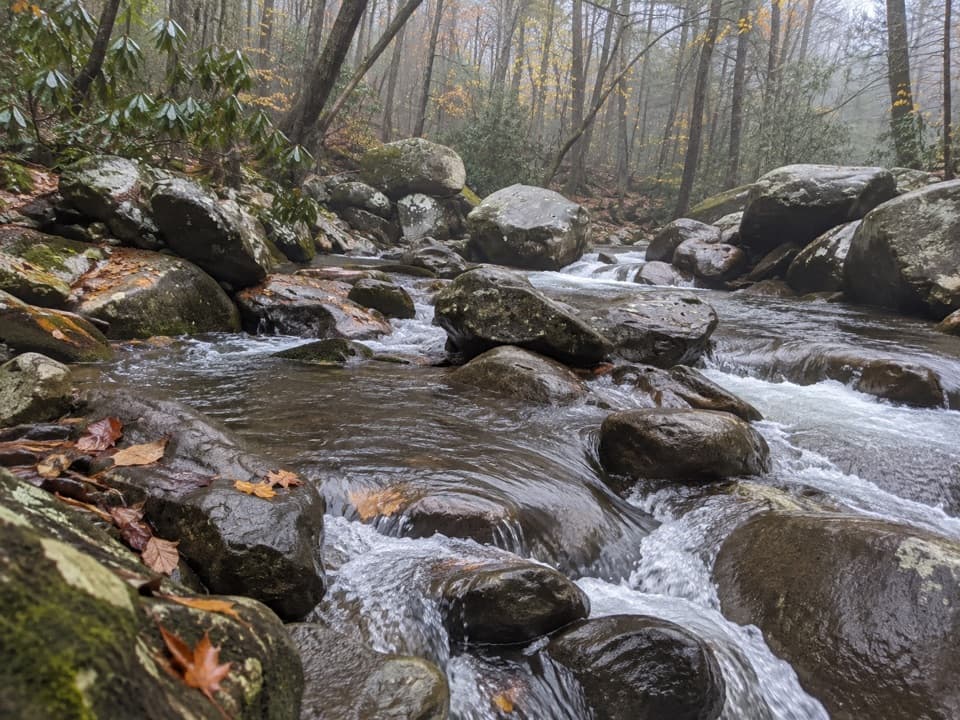
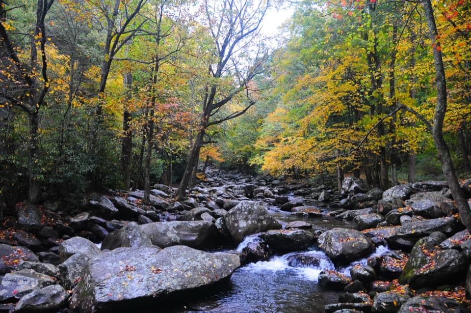
- Creekside sites on the West Prong with boulder-hopping and wading
- 68 picnic sites with tables and charcoal grills
- Seasonal restrooms and deep shade at 2,739 feet
CONS
- Often fills early in peak season; parking can be tight
- Slick rocks and steep riverbanks; water stays cold and can run swift
Overview
Tucked along Newfound Gap Road, Chimneys Picnic Area is the classic Smokies picnic stop: 68 individual sites scattered under thick forest beside the West Prong of the Little Pigeon River. Every site has a table and a charcoal grill (charcoal only; no wood fires). Seasonal restrooms are spread through the loops, and the elevation (2,739 ft) keeps it noticeably cooler than town on hot days.
What You’ll Find
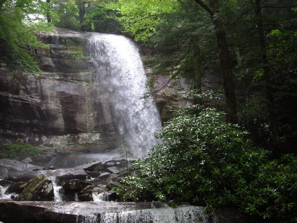
- River access is the headline—big rounded boulders, shallow pockets for wading, and the constant sound of moving water. It’s a relaxing spot for an unhurried lunch and a little rock-hopping.
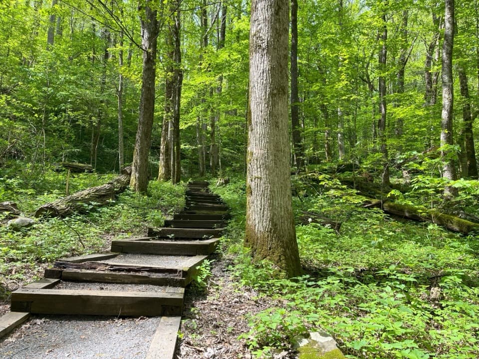
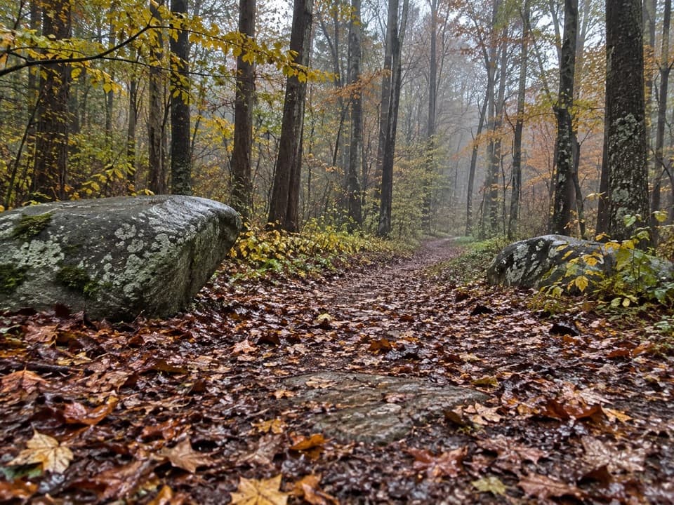
- A short 0.8-mile loop trail leaves from the area for a quick leg-stretcher with a bit of up-and-down. Note that this picnic area is not the trailhead for the nearby Chimney Tops Trail.
- Bear-proof bins are provided; this is active black bear country, so keep a clean camp and dispose of trash promptly.
- Pets are allowed in the picnic area on leash but are not permitted on most park trails (only two short park trails allow pets).
Season, Hours, and Rules
Chimneys operates seasonally, typically from early April to December 1. Closing time is 8 pm from late spring into early September; otherwise it closes at sunset. Use charcoal only in the provided grills. A parking tag is required if you’ll be parked more than 15 minutes anywhere in the park.
Getting There
From Sugarlands Visitor Center in Gatlinburg, drive about 4.5–5 miles south on US-441/Newfound Gap Road. The entrance to the picnic area is on the right.
Wildlife and Safety
You’re in prime black bear habitat—give wildlife space, secure all food immediately, and leave no trace. The river is beautiful but demands respect: rocks are slick, some banks are steep, and flows get faster after rain. The water is cold year-round. If you plan to fish, you’ll need a valid Tennessee or North Carolina fishing license.
Crowds and Best Time to Visit
This is one of the park’s most popular picnic spots, especially in warm months and on weekends. If you want a riverside table, arrive early. Weekdays and shoulder season dates are your best bet for quieter vibes. Late-day picnics can be lovely in summer but watch the seasonal closing times.
Make the Most of It
Bring charcoal and a lighter, water shoes for the slick rocks, and plan a short stroll on the loop trail after you eat. It pairs well with a scenic drive over Newfound Gap or a tougher hike on nearby trailheads if your group is up for it.
Where it is
35.6368, -83.4876Tips for Chimneys Picnic Area
- 01Arrive before mid-morning in peak months to snag a riverside table.
- 02Bring charcoal and a lighter; wood fires are not allowed in the grills.
- 03Buy and display a parking tag if you’ll be parked more than 15 minutes.
- 04Water shoes help on slick boulders; closely supervise kids near the main river.
- 05Check seasonal hours—summer closes at 8 pm, otherwise at sunset.
Amenities
Near Chimneys Picnic Area
All places →All trails →
0.3 mi awayCove Hardwood Nature TrailShort, flower-rich loop through classic Smokies cove forest.Easy · 0.9 mi · 45 min
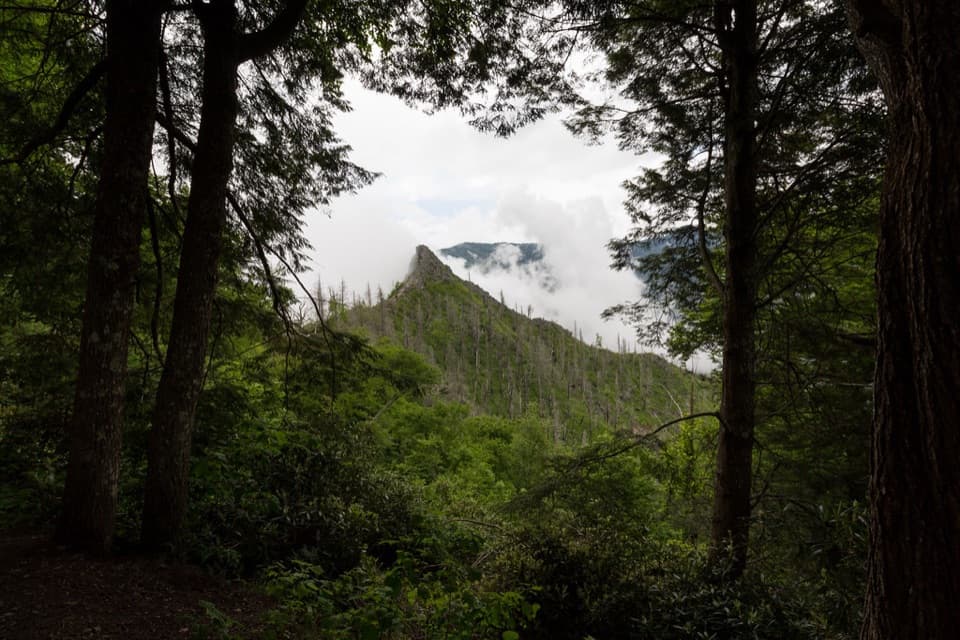
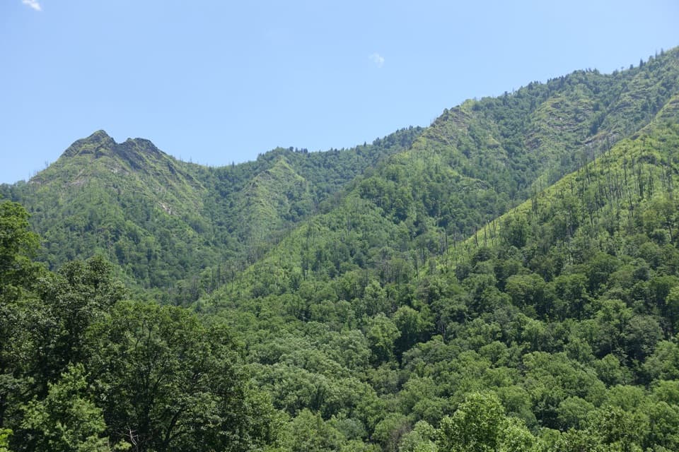
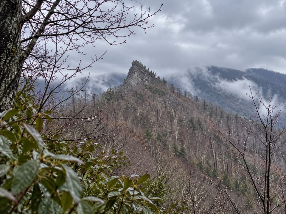
0.3 mi awayChimney Tops OverlookKnife‑edge pinnacles and LeConte views via a steep stair climbTrailhead · Parking
0.7 mi awayChimney TopsShort, steep climb to sweeping views of the SmokiesTrailhead · Parking
1 mi awayChimney Tops TrailShort, steep stair master to a big-view overlook—worth the burn.Challenging · 3.5 mi · 2.5 hr
1.6 mi awayBull HeadQuiet, view‑heavy climb to Le Conte via fire‑scarred ridgesTrailhead · Parking
2.1 mi awayAlum Cave TrailheadPopular launch point for Alum Cave and Mount Le ConteTrailhead · Parking
2.1 mi awayAlum Cave TrailStreamside climb to Arch Rock, big views, and a towering bluffModerate · 4.6 mi · 3 hr
2.6 mi awayBullhead TrailSteep, view-packed climb to Mount Le Conte with wildfire vistasChallenging · 13.6 mi · 7.5 hr