Cove Hardwood Nature Trail in Great Smoky Mountains National Park

Great Smoky Mountains National Park, TN · NC

Cove Hardwood Nature Trail

A shady hardwood loop with 40 steps up front.

Photo: National Park Service
Length
0.8mi
Time
45min
Elev. change
217ft
Difficulty
Moderate
  • Loop
  • No dogs
  • High point 3,041 ft
  • #46 of 197 in Great Smoky Mountains

Hear the audio tour

Chimneys Picnic Area and Cove Hardwood Trail

Overview

About Cove Hardwood Nature Trail

Why go

  • A compact forest walk with seasonal flowers, large hardwoods, and a streamside stretch.

Heads up

  • Two steep stair runs and uneven footing are packed into a very short route.

Map & elevation

The route

Loading the Great Smoky Mountains map
Full map
Elevation2,825–3,041 ft
TrailheadCove Hardwood Nature Trail start at Chimneys Picnic Area35.63653, -83.49220
Keep this map with you offline in the Parkwolf app

Plan your hike

Before you go

Parking

Start at the Cove Hardwood Nature Trail access inside Chimneys Picnic Area off Newfound Gap Road (US 441). Seven spaces sit by the trailhead, with additional parking throughout the picnic area. A parking tag is required for stays over 15 minutes; the picnic area and restrooms are seasonal.

Safety

Two stair sections total 40 steps, followed by rooty, rocky footing and a brief rocky stream crossing; wet rocks can be slippery. Pets are prohibited. A parking tag is required for vehicles staying longer than 15 minutes.

7 active Great Smoky Mountains alerts

  • ClosureHurricane Helene trail damage and backcountry restrictionsHurricane Helene damage has restricted backcountry trail access; avoid damaged crossings and observe trail-specific limits.Official details
  • CautionBear-related trail, campsite, and road restrictionsBear activity has closed trails, a shelter, and campsites and restricted pedestrian access on Cherokee Orchard Road; stay out of closed areas and follow vehicle-only rules.Official details
See all 7 alerts
A park ranger sits on a dash-mounted phone, talking, as Parkwolf’s Tour Guide plays “Army Cutworm Moths: A Grizzly Bear Buffet” on Grand Loop Road below Dunraven Pass in Yellowstone
Parkwolf Tour GuideThe highest, rockiest slopes around here are a summer buffet for grizzly bears.

Great Smoky Mountains Tour Guide

Your drive to Cove Hardwood Nature Trail, narrated.

Parkwolf is a GPS audio tour guide for Great Smoky Mountains National Park. As you drive, it chimes in with what’s ahead: hidden gems, upcoming stops, history, geology, and wildlife, right through your car’s speakers.

See the Great Smoky Mountains audio tour

Recorded for this trailhead

Chimneys Picnic Area and Cove Hardwood Trail
0:00 / 0:33
“You're approaching Chimneys Picnic Area, a shady place to settle down beside the Little Pigeon River. Choose this for a picnic with the sound of water running among boulders and little cascades.”

Plays as you drive up to this trailhead in the Parkwolf Great Smoky Mountains Tour Guide.

More stories near here in the app

  • Chimney Tops Overlook
  • A New Rack Every Year
  • Chimney Tops Trailhead
  • Carlos Campbell Overlook
  • 200 audio storiesacross Great Smoky Mountains’s roads, triggered by GPS as you drive
  • Wildlife heatmapsfor Black Bear, Elk, Bald Eagle, and 13 more
  • Works offlinemaps, 197 trails, 137 places, and audio download before you lose signal
  • CarPlay readysimple controls built for the drive
★★★★★
“Fantastic app with many points of information… It’s great to just turn on while you’re driving and it gives you an audio tour of the national Park. We love it!!!!”
JMJamesApp Store review
Download Parkwolf on the App StoreGet Parkwolf on Google Play

4.7 from 8,600+ ratings

Trail guide

Hiking Cove Hardwood Nature Trail

A short loop in the woodsCove Hardwood Nature Trail is a round-trip loop of about 0.8 mile from Chimneys Picnic Area.

Cove Hardwood Nature Trail is a round-trip loop of about 0.8 mile from Chimneys Picnic Area. Walk the short access spur to the junction, follow the loop through a shaded cove hardwood forest, then return to the picnic area on the same spur. The published distance is 0.75 mile; measuring the complete mapped approach, loop, and return gives about 0.8 mile. Allow 30 to 60 minutes. It’s a good fit when you want a quick forest walk alongside a picnic, not a summit or a wide view.

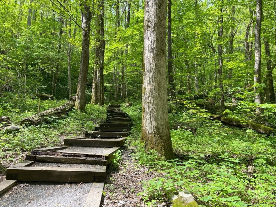
The climb comes firstThe path leaves the group picnic site by two sets of steps, 40 steps altogether.

The path leaves the group picnic site by two sets of steps, 40 steps altogether. About 700 feet from the start, follow the arrow at the junction to the right around the loop. The slope eases after the initial climb, then the trail gradually descends back to the junction. You’ll return to the parking area along the access path you came in on.

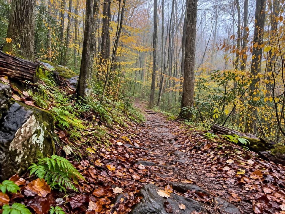
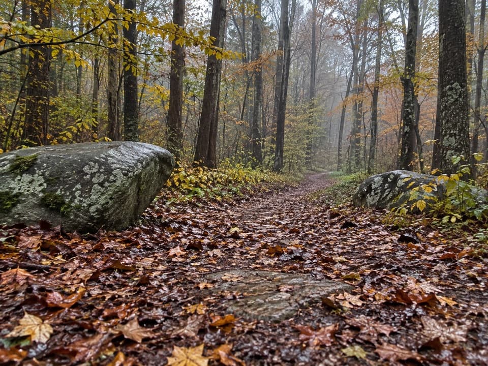
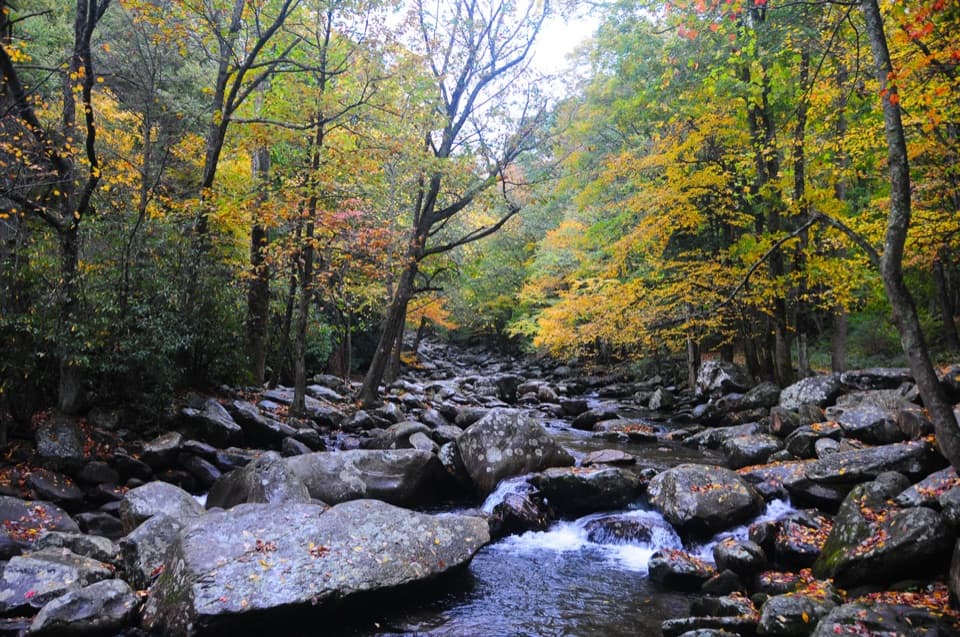
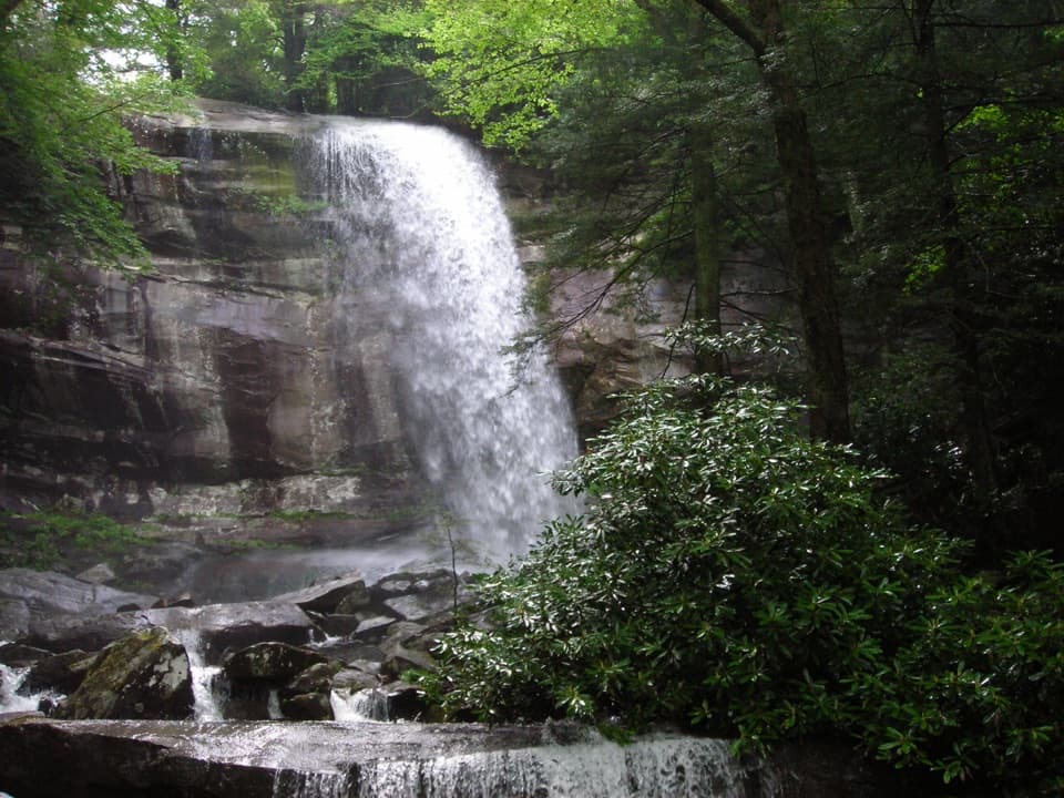
Underfoot, expect soil, roots, and rocks rather than a smooth walkway. A short rocky stream crossing adds a change of footing; the rocks can be slippery after rain. The mileage is small, but those first steps make it more than a level stroll.

A cove hardwood forestThis walk is about the forest: tall hardwood trunks, streams, and songbirds, with spring…

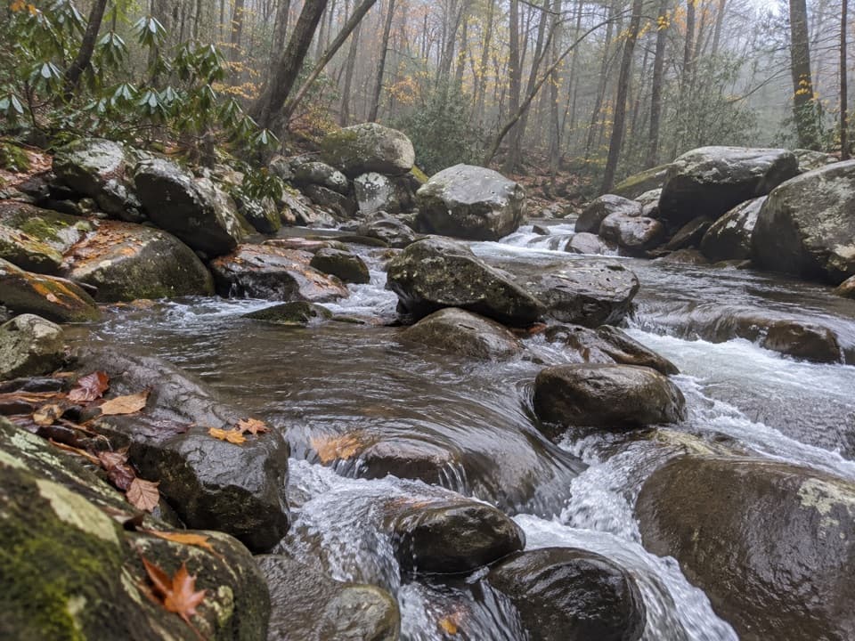
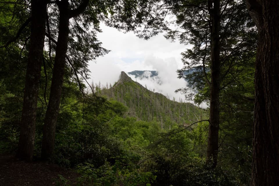
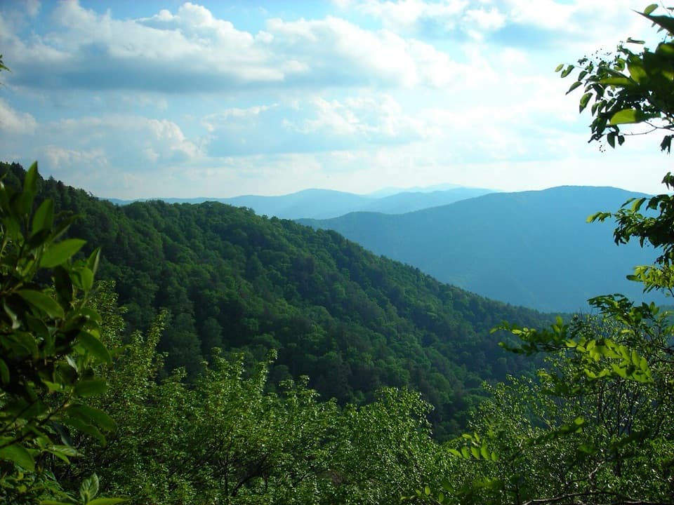
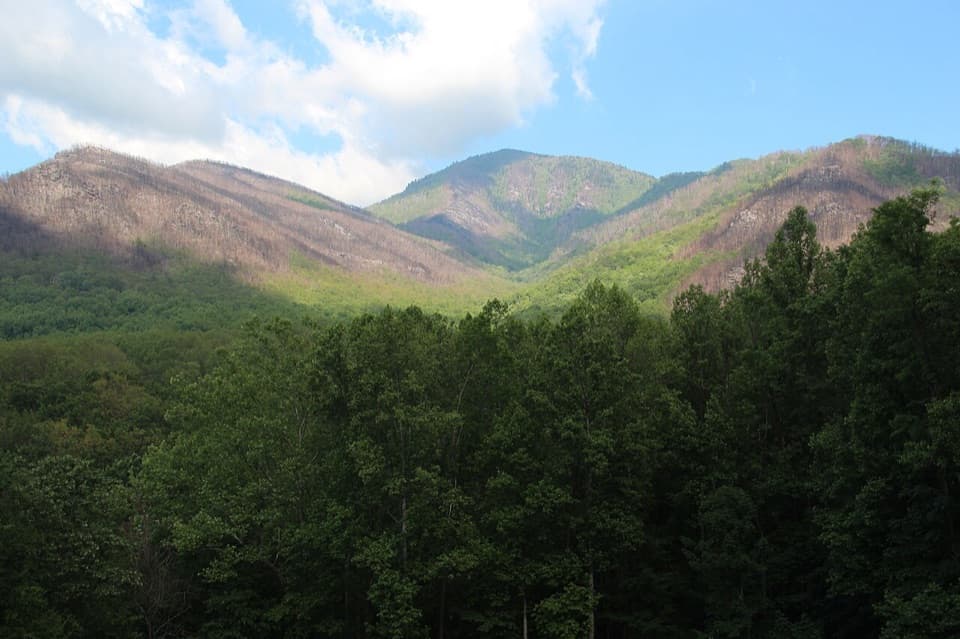
This walk is about the forest: tall hardwood trunks, streams, and songbirds, with spring flowers, summer greenery, and fall color changing the feel of the route through the year. Cove hardwood forests are among the most biodiverse communities, and this one also carries a longer story of settlement, logging, and regrowth. Spring is a particularly good time to look closely along the path for ephemeral flowers.

Parking and picnic accessStart inside Chimneys Picnic Area, off Newfound Gap Road (US 441).

Start inside Chimneys Picnic Area, off Newfound Gap Road (US 441). Seven spaces are next to the trailhead, with more parking throughout the picnic area. A parking tag is required for a vehicle staying more than 15 minutes. The picnic area is seasonal, open from early April through December 1, and its restrooms are seasonal too. Picnic tables and charcoal grills are at the access area, not along the trail. Pets aren’t allowed on this route.

Wildlife

Wildlife in Great Smoky Mountains

All Great Smoky Mountains wildlife maps

Sighting maps show where each species has been reported across Great Smoky Mountains. Wildlife moves, so no sighting is guaranteed.

Keep exploring

Near Cove Hardwood Nature Trail

See it all on the map

Trails that start nearby

Places near the trailhead

Parkwolf’s Great Smoky Mountains ranking

Top-rated trails in Great Smoky Mountains

All 197 trails
  1. 1Mount Le Conte via Alum Cave TrailChallenging · 10 mi
  2. 2Charlies Bunion via Appalachian TrailModerate · 8 mi
  3. 3Alum Cave Trail to Alum Cave BluffsModerate · 4.6 mi
  4. 4Ramsey Cascades TrailChallenging · 8 mi
  5. 5Mount Cammerer TrailChallenging · 11.1 mi
  6. 6Gregory Ridge TrailChallenging · 11.4 mi

Take Parkwolf to Great Smoky Mountains.

The audio tour guide for the drive, plus offline maps, trails, and wildlife heatmaps for when the signal drops.

4.7 from 8,600+ ratings

Download Parkwolf on the App StoreGet Parkwolf on Google Play