Clingmans Dome Visitor Contact Station

Small summit shop and info hub on the way to the tower
Clingmans Dome Visitor Contact Station, Great Smoky Mountains National Park
InsideGreat Smoky Mountains National Park

Overview

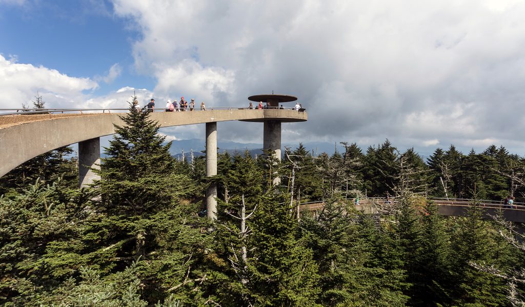
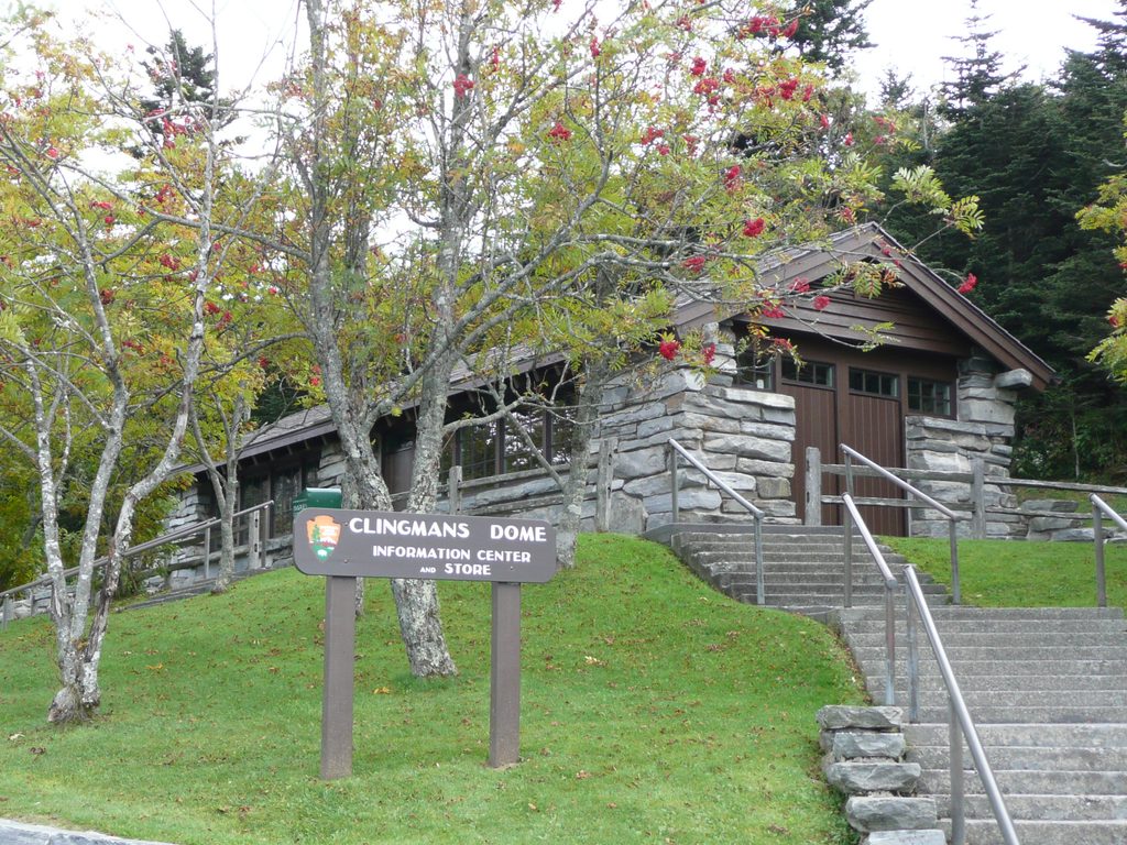
Perched at the end of Kuwohi (formerly Clingmans Dome) Road, this small, seasonal contact station is the high‑elevation hub for the summit area. You’ll find a GSMA shop for maps and souvenirs and knowledgeable staff to help dial in your day. Most folks duck in for a few minutes, use the restrooms, and then tackle the paved walk to the 54‑foot observation tower on the park’s highest peak (6,643 ft).

What to Expect

  • Facilities: A compact bookstore/shop and public restrooms near the large parking area. Drinking water isn’t listed here—bring your own.
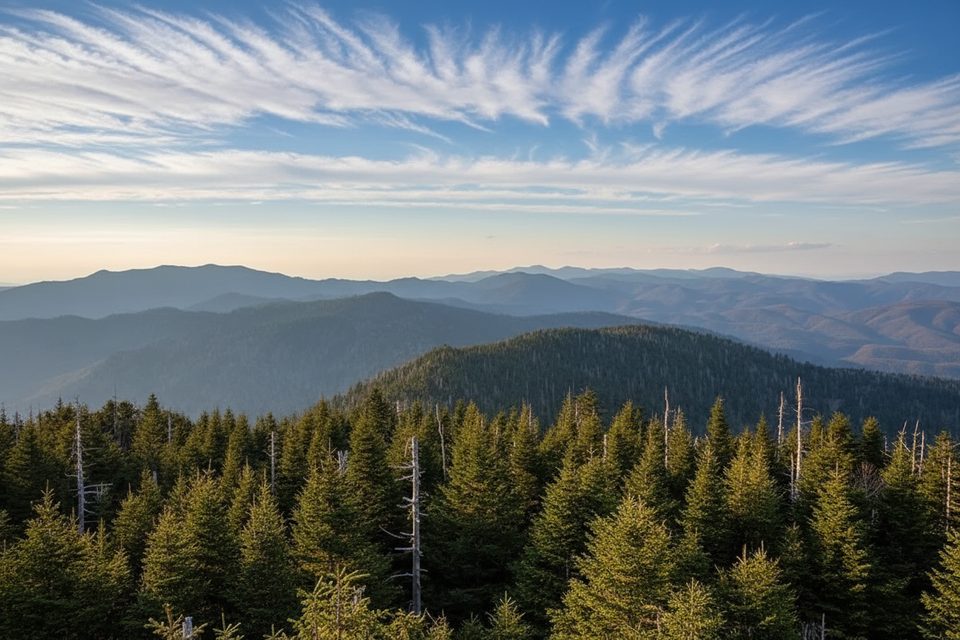
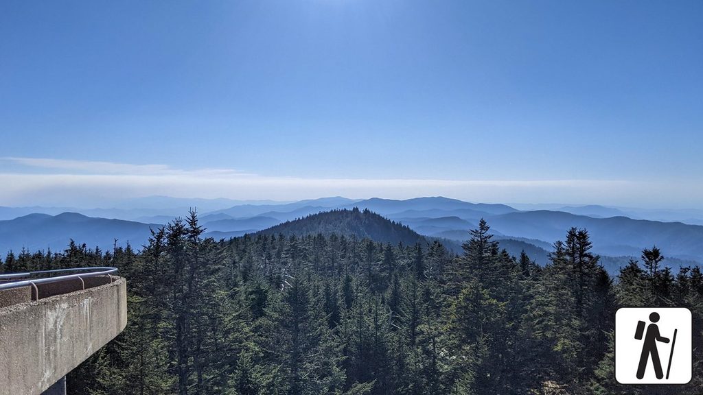
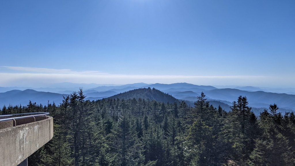
  • The walk: From the parking lot it’s a steep, paved 0.5 miles (1 mile round trip) to the tower with benches along the way. Views are 360° on clear days.
  • Weather: It’s much cooler and windier up here than in the valleys, and clouds can erase views in a hurry. Pack a layer even in summer.

Getting There

From Newfound Gap Road (US‑441), turn onto Kuwohi (Clingmans Dome) Road about 0.1 mile south of Newfound Gap and drive 7 miles to the end. There’s a big parking area, but it still fills fast on clear days.

Season & Hours

Kuwohi/Clingmans Dome Road is typically closed from December 1 to April 1. When open, the contact station generally operates daytime hours (often around 10 a.m.–6 p.m.), but times vary—always check current conditions and hours before you go.

Best Time to Visit

Arrive early. Mornings usually mean easier parking, cooler uphill walking, and better odds of clear views before clouds build. Midday is the peak crowd window. Late afternoon can thin out, but light and weather are hit‑or‑miss. Sunrise missions are popular on clear days, though the contact station itself may be closed that early.

Nearby Trails & Things to Do

  • Observation Tower: 0.5 miles each way on a wide, paved but steep path.
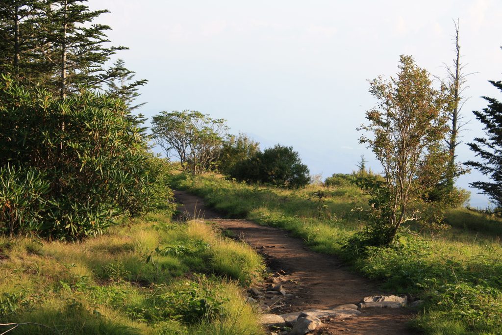
  • Andrews Bald: Start right here via the Forney Ridge Trail for a classic high‑country bald hike.
  • Appalachian Trail: Crosses Kuwohi at the high point of the AT in the Smokies.

Wildlife Notes

Bear sightings do happen along the road and in the area. Enjoy from a distance and give wildlife plenty of space.

Practicalities

  • Parking: A daily parking fee/tag is required in the park.
  • Restrooms: Basic vault toilets; they can be unpleasant at busy times—plan accordingly.
  • Bring: Water, a light jacket, and decent shoes for the steep grade.
  • Time: Expect up to 45 minutes at the contact station/parking area before or after your walk to the tower.

Pros

  • GSMA shop/bookstore for maps and souvenirs
  • Seasonal staff answering questions at the park’s highest point
  • Handy base for the 0.5‑mile paved walk to the observation tower

Cons

  • Road and contact station are seasonal; closed roughly Dec 1–Apr 1
  • Parking fills and crowds build late morning through mid‑afternoon
  • Restrooms are basic vault toilets that can be smelly

Tips

  • Arrive before 9 a.m. for easier parking and clearer views.
  • Bring your own water; drinking fountains aren’t listed here.
  • Pack a light jacket—temps at the summit can feel dramatically colder.
  • The road usually closes Dec 1–Apr 1; verify status before you go.
  • If clouds sock in the tower, consider hiking Andrews Bald from the same lot.
The Parkwolf tour guide sitting on a phone mounted in a car

Parkwolf Tour Guide

Like a tour guide in your car.

Save the places you found around Great Smoky Mountains, then let Parkwolf guide the drive between them.Download Parkwolf on the App Store