
Place · 0 mi away
Challenging

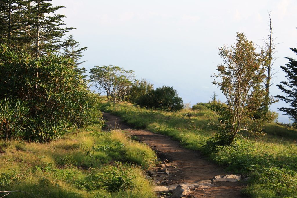
Forney Ridge drops straight off the Clingmans Dome parking area—unusual in the Smokies—and immediately feels like you’ve stepped into another world. Expect stone steps and rocky platforms to start, then a narrow, rooty path through high, cool spruce–fir forest. Most hikers turn around at Andrews Bald, but the full trail continues well past the bald toward Board Camp Gap and Springhouse Branch.
You’ve got two very different outings here. The popular option to Andrews Bald is roughly 3.6 miles round trip with a stout climb back to the lot. The full Forney Ridge out-and-back to the Springhouse Branch junction runs about 11.0 miles total and is generally considered strenuous, with roughly 2,800 feet of cumulative gain and typical times a little over 6 hours. Remember: you descend first, so the price is paid on the return.
About 1.8 miles in, Andrews Bald (around 5,920 feet) opens to sweeping views and, in mid-June, a showy bloom of Catawba rhododendron and flame azalea. It’s the park’s highest grassy bald and is actively maintained to keep encroaching forest at bay. Along the way, watch for dark, mossy spruce–fir, stunted by weather and long impacted by air pollution and the balsam woolly adelgid. Birders: listen for dark-eyed juncos flitting through the conifers.
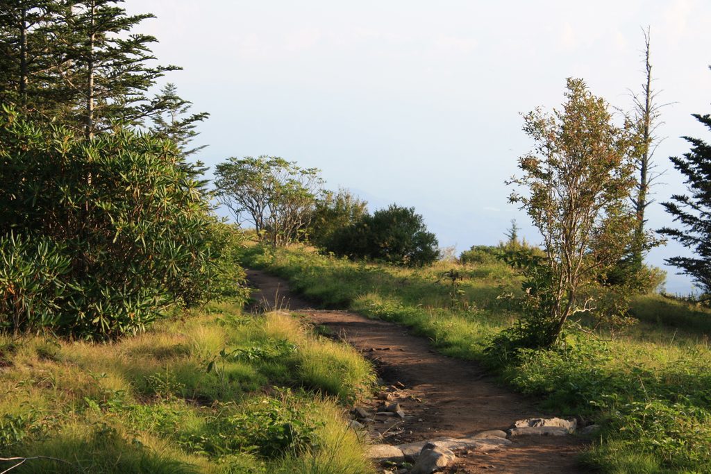
Footing is mixed: stonework and stairs near the start, then dirt, rocks, and roots with occasional boardwalks. Past Andrews Bald, the path tightens, sees far fewer boots, and can feel overgrown. After rain or freeze-thaw, expect slick stretches; in heavy rain the trail can channel water and make crossings tricky.
Late spring through early summer brings the bloom show on the bald; crisp fall days deliver the clearest long-range views. This is a 6,000+ ft trailhead—weather shifts fast. Ice can linger or form quickly, especially near the start. The Clingmans Dome road is typically open April 1–November 30, weather permitting. Start early to beat parking crush and get softer light at the bald; afternoons can be crowded near the lot.
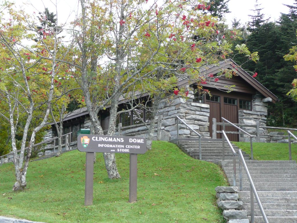
Park at the Clingmans Dome parking area; the Forney Ridge Trailhead is on the left just before the visitor center. A parking tag is required, and this area sees heavy pressure—arrive early. Seasonal pit toilets are available. Trekking poles help with the rocky steps, leaf-covered roots, and the long climb back. Dogs aren’t allowed on this trail. If you want mileage and solitude, continue past Andrews Bald toward Board Camp Gap or link longer loops via Springhouse Branch and Forney Creek—best for experienced hikers comfortable with rugged, occasionally overgrown terrain.
Clingmans Dome parking area; trailhead is on the left just before the visitor information center. A parking tag is required. Lot is often full—arrive early. Road typically open April 1–November 30; seasonal pit toilets available.
Expect a strenuous climb back to the trailhead. Footing is rocky and rooty; slick when wet or icy. After heavy rain the trail can funnel water and make crossings hazardous. Sections beyond Andrews Bald are narrower and can be overgrown.
Place · 0 mi away
Place · 0.4 mi away
Place · 0.4 mi away
Place · 1.1 mi away
Moderate · 0 mi away
Easy · 0 mi away
Moderate · 0 mi away
Easy · 0.1 mi away

Parkwolf Tour Guide
