Parking
Use the Bradley Fork Trailhead at the far north end of Smokemont Campground Road. A parking tag is required for vehicles parked more than 15 minutes. The nearest restroom is at Smokemont Campground.
Great Smoky Mountains National Park, TN · NC
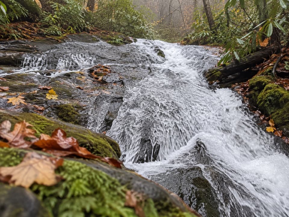
A streamside walk ends at a modest cascade over smooth bedrock.
Overview
Map & elevation
Plan your hike

The highest, rockiest slopes around here are a summer buffet for grizzly bears.
Great Smoky Mountains Tour Guide
Parkwolf is a GPS audio tour guide for Great Smoky Mountains National Park. As you drive, it chimes in with what’s ahead: hidden gems, upcoming stops, history, geology, and wildlife, right through your car’s speakers.
See the Great Smoky Mountains audio tourRecorded for this trailhead
Smokemont and Chasteen Creek Cascade“You're nearing Smokemont, the starting point for the walk to Chasteen Creek Cascade. The creek slides over quartz-streaked sandstone in a broad, fifteen-foot cascade, a modest waterfall after a wooded creek walk.”
Plays as you drive up to this trailhead in the Parkwolf Great Smoky Mountains Tour Guide.
More stories near here in the app
“Fantastic app with many points of information… It’s great to just turn on while you’re driving and it gives you an audio tour of the national Park. We love it!!!!”


Trail guide
This is a 3.6-mile round-trip out-and-back from the Bradley Fork Trailhead at Smokemont, following Bradley Fork and Chasteen Creek through a mostly wooded valley to Chasteen Creek Cascade. Allow about 2–3 hours; that is a practical estimate, not a posted hike time. Expect a gradual uphill approach, then retrace the same route. The draw is the creekside waterfall, not a summit or panorama.
Start at the far north end of Smokemont Campground Road. The wide approach follows Bradley Fork. After roughly 1.1–1.2 miles, cross Chasteen Creek and turn right onto Chasteen Creek Trail; Bradley Fork continues left. Lower Chasteen Backcountry Campsite 50 is shortly beyond the junction. Around 1.8–1.9 miles from the start, cross the creek again. At the horse hitching rail, take the narrow left spur along the water; the main trail climbs away to the right. Reverse those turns to return.
The payoff is a broad, low sheet of water sliding over smooth sandstone into a pool, rather than a tall plunge. It feels intimate and creekside. For a close photograph, frame the moving water with the worn bedrock from the trail-side edge; the broad rock surface is part of the view.
The Bradley Fork section is wide and well graded, with a gradual climb. The National Park Service notes occasional roots and rocks, and hikers share this route with horses. Two creek crossings and a narrower final spur call for more careful footing. Most of the walk stays wooded, with some openings and flowering dogwood, yellow birch, sycamore and tuliptree along the corridor.
Parking is at the far north end of Smokemont Campground Road. A parking tag is required when a vehicle is parked in the park for more than 15 minutes. Smokemont Campground is the nearest restroom, available year-round. Pets are prohibited on this trail.
Wildlife
 1,566 sightingsBlack BearMost seen around 7 PMSighting map
 899 sightingsElkMost seen around 7 AMSighting map
 13 sightingsBald EagleMost seen around 9 AMSighting map
 142 sightingsTimber RattlesnakeMost seen around 6 PMSighting map
 26 sightingsBobcatMost seen around 8 PMSighting map
 42 sightingsRiver OtterMost seen around 7 AMSighting map
Sighting maps show where each species has been reported across Great Smoky Mountains. Wildlife moves, so no sighting is guaranteed.
Keep exploring
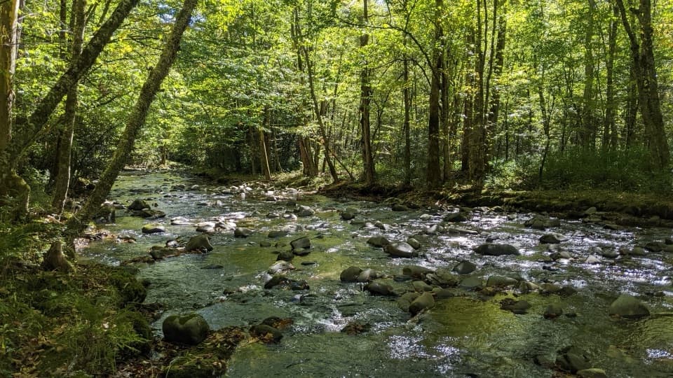 ChallengingBradley Fork Trail14.6 mi · 9.5 hr · At the trailheadA long creekside walk ends in a rocky climb to Hughes Ridge.
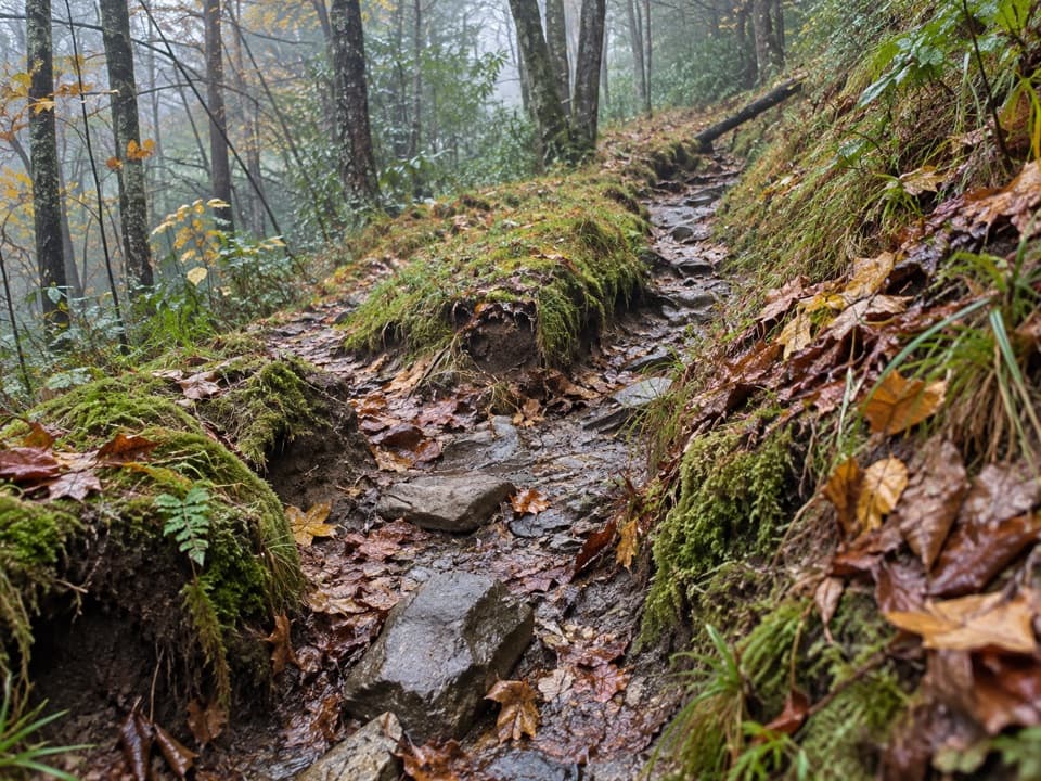 ChallengingDry Sluice Gap Trail16.4 mi · 10.5 hr · 0.1 mi awayA long Smokemont climb to the Appalachian Trail, then back.
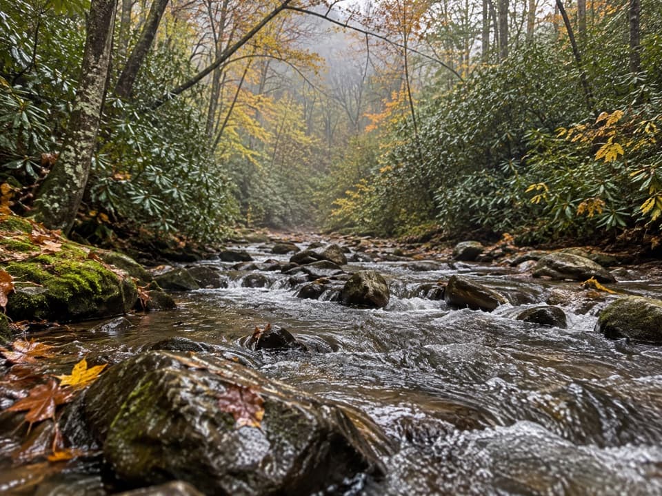 ModerateCabin Flats Trail9.9 mi · 5.5 hr · 0.1 mi awayA 10-mile creekside walk ends at a Smokies backcountry camp.
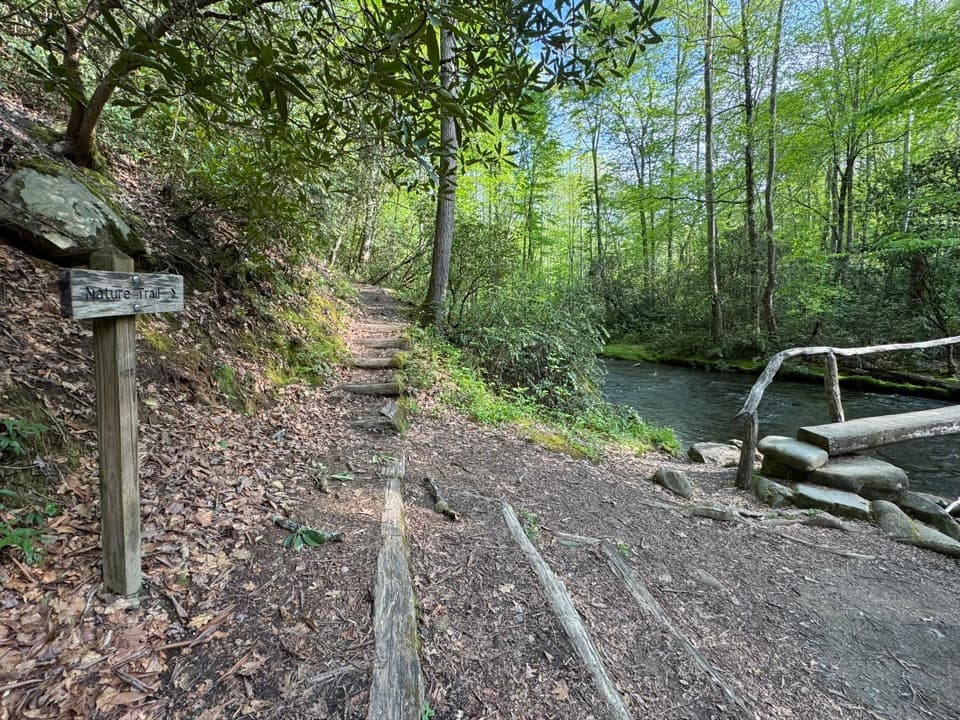 ModerateSmokemont Nature Trail0.6 mi · 45 min · 0.4 mi awayA short campground loop with creek crossings and a ridge view.
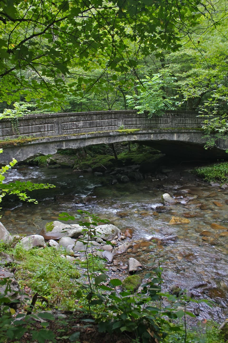 ModerateSmokemont Loop Trail6.1 mi · 4 hr · 0.5 mi awayCreekside approach, steep ridge climb, and Smokemont history.
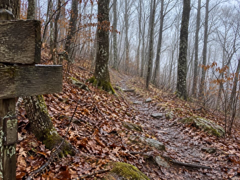 ChallengingNewton Bald Trail11 mi · 6.5 hr · 0.7 mi awayA steady forest climb to a wooded bald with few views.
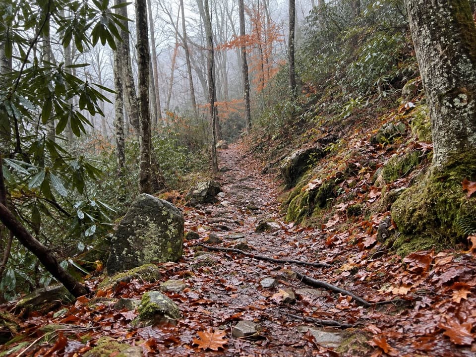 ModerateTow String Horse Trail2.2 mi · 1.3 hr · 1.5 mi awayA quiet woodland link between Tow String Horse Camp and Bradley Fork.
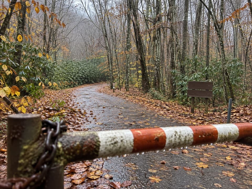 ModerateMingus Creek Trail5.8 mi · 4 hr · 2.9 mi awayAn old creek roadbed ends in a steep climb to Deeplow Gap.
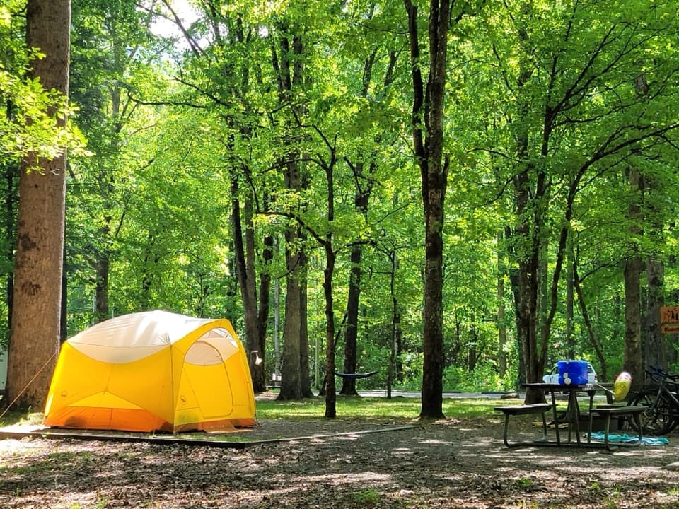 Campground · 0.2 mi awaySmokemont CampgroundA wooded Smokies campground on the site of a logging town.
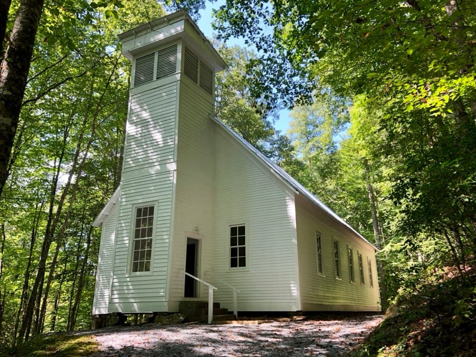 Sight · 0.7 mi awaySmokemont Baptist ChurchA hilltop church preserves Smokemont’s community story.
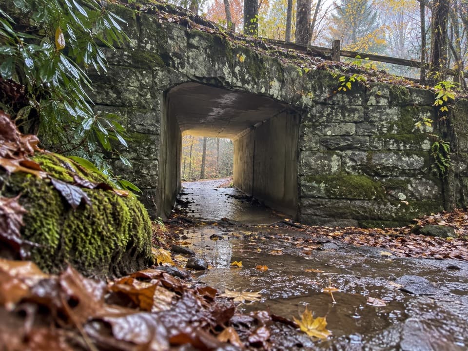 Sight · 0.8 mi awaySmokemont Riding StablesCross a river on horseback, or ride the Old Turnpike by wagon.
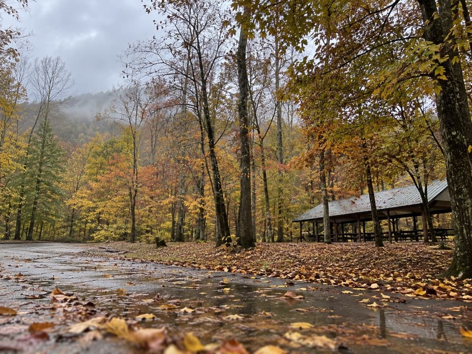 Picnic area · 1.5 mi awayCollins Creek Picnic AreaA shady picnic break with a short creekside walk
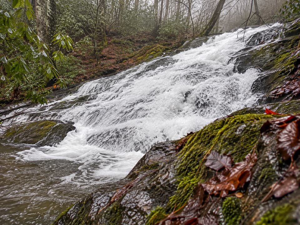 Sight · 1.7 mi awayChasteen Creek CascadeA 15-foot, quartz-streaked cascade beyond a wooded creek walk.
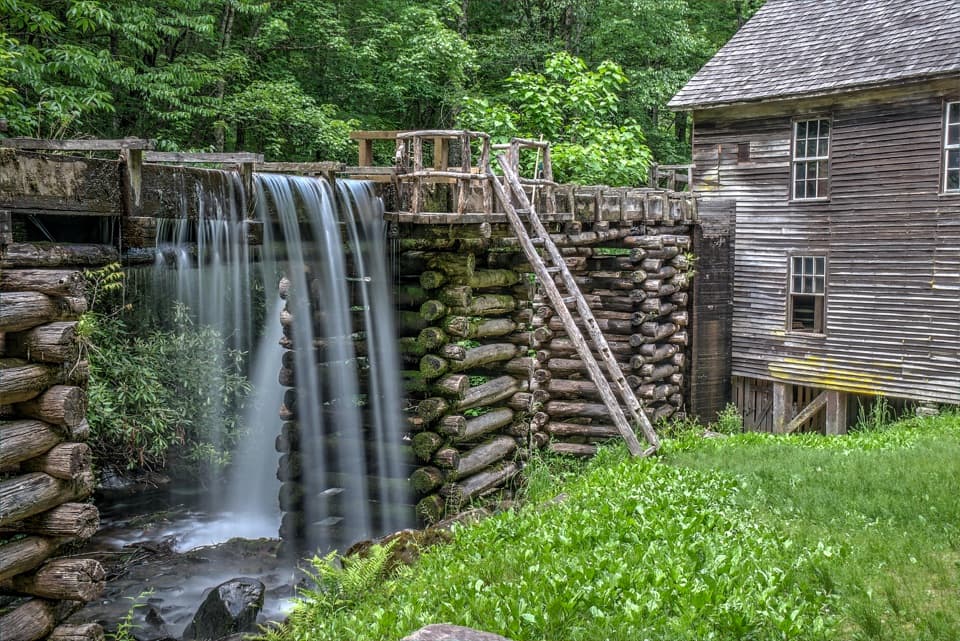 Sight · 3 mi awayMingus MillAn 1886 turbine mill with its flume beside Mingus Creek.
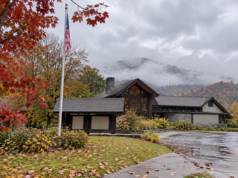 Visitor center · 3.5 mi awayOconaluftee Visitor CenterHistory indoors, elk country and an easy river walk outside.
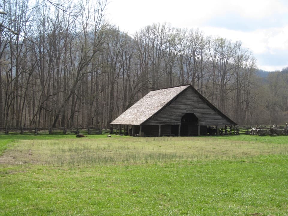 Sight · 3.5 mi awayMountain Farm MuseumA short walk through farm buildings gathered from across the Smokies.
Parkwolf’s Great Smoky Mountains ranking

The audio tour guide for the drive, plus offline maps, trails, and wildlife heatmaps for when the signal drops.





