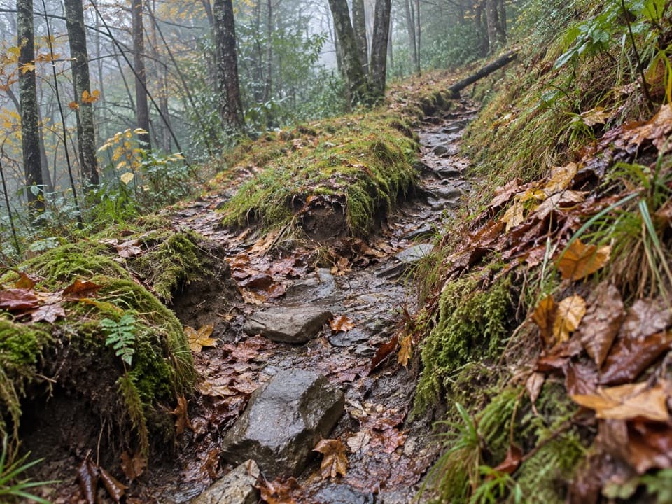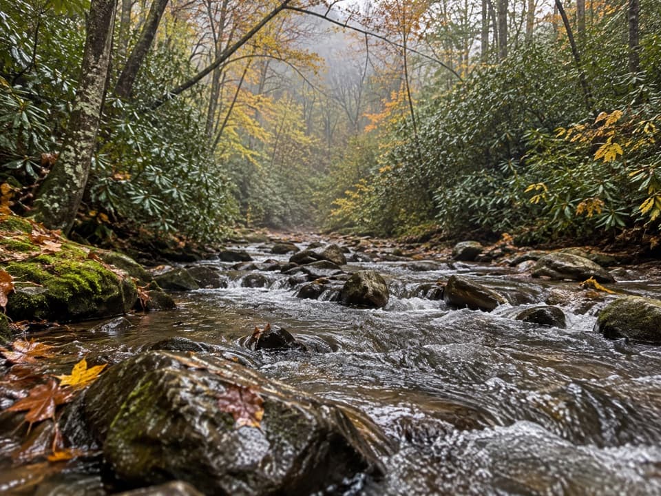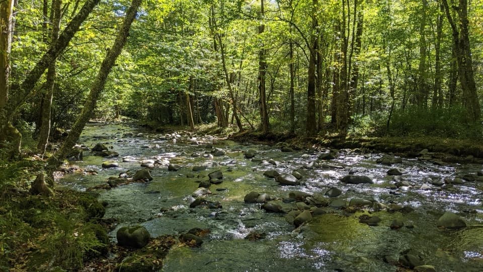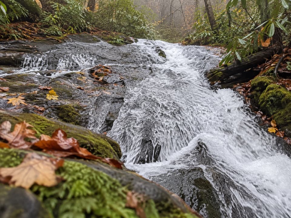
Chasteen Creek Cascade in Great Smoky Mountains National Park

Sight · Great Smoky Mountains National Park

Chasteen Creek Cascade

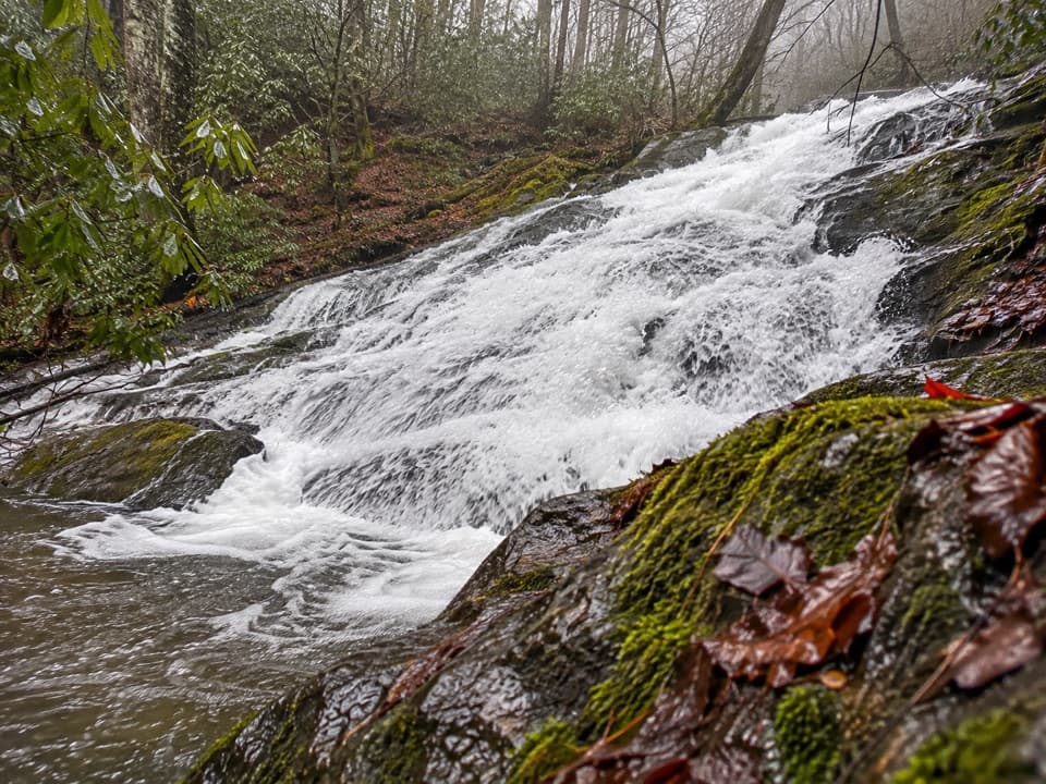
A 15-foot, quartz-streaked cascade beyond a wooded creek walk.

Type
Sight
Nearest trail
1.7 mi
Audio stories
1 nearby
  • Trailhead
  • Parking
  • Restrooms
  • Scenic viewpoint

Hear the audio tour

Smokemont and Chasteen Creek Cascade

Overview

About Chasteen Creek Cascade

Why stop

  • A broad cascade over distinctive quartz-streaked stone
  • A wooded approach beside Bradley Fork

Heads up

  • A 3.6-mile round trip with limited trailhead parking

Map

Where it is

Loading the Great Smoky Mountains map
Full map
SightChasteen Creek Cascade35.58740, -83.31071
Keep this map with you offline in the Parkwolf app

Plan your stop

Before you go

7 active Great Smoky Mountains alerts

  • ClosureHurricane Helene trail damage and backcountry restrictionsHurricane Helene damage has restricted backcountry trail access; avoid damaged crossings and observe trail-specific limits.Official details
  • CautionBear-related trail, campsite, and road restrictionsBear activity has closed trails, a shelter, and campsites and restricted pedestrian access on Cherokee Orchard Road; stay out of closed areas and follow vehicle-only rules.Official details

See all 7 alerts
A park ranger sits on a dash-mounted phone, talking, as Parkwolf’s Tour Guide plays “Army Cutworm Moths: A Grizzly Bear Buffet” on Grand Loop Road below Dunraven Pass in Yellowstone
Parkwolf Tour GuideThe highest, rockiest slopes around here are a summer buffet for grizzly bears.

Great Smoky Mountains Tour Guide

Your drive to Chasteen Creek Cascade, narrated.

Parkwolf is a GPS audio tour guide for Great Smoky Mountains National Park. As you drive, it chimes in with what’s ahead: hidden gems, upcoming stops, history, geology, and wildlife, right through your car’s speakers.

See the Great Smoky Mountains audio tour

Recorded for this place

Smokemont and Chasteen Creek Cascade
0:00 / 0:28
“You're nearing Smokemont, the starting point for the walk to Chasteen Creek Cascade. The creek slides over quartz-streaked sandstone in a broad, fifteen-foot cascade, a modest waterfall after a wooded creek walk.”

Plays as you drive up to Chasteen Creek Cascade in the Parkwolf Great Smoky Mountains Tour Guide.

More stories near here in the app

  • Collins Creek Picnic Area
  • A Flower with Ten Catapults
  • Reading the White Blazes
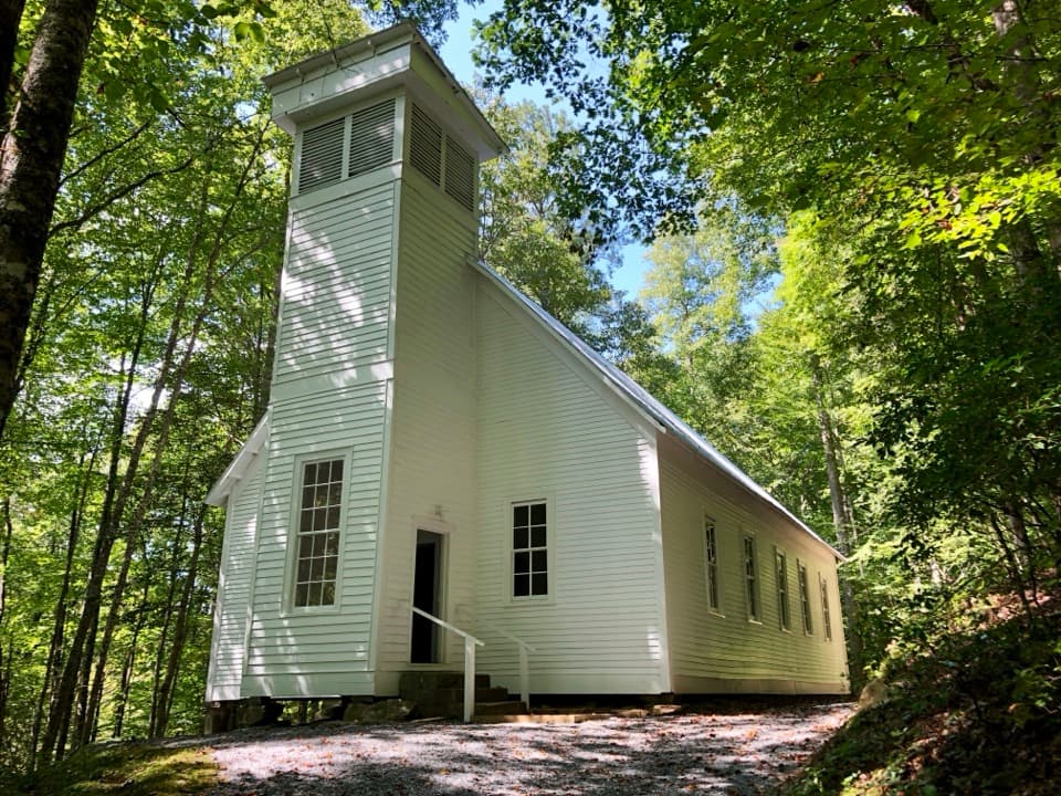
  • Smokemont Baptist Church
  • 200 audio storiesacross Great Smoky Mountains’s roads, triggered by GPS as you drive
  • Wildlife heatmapsfor Black Bear, Elk, Bald Eagle, and 13 more
  • Works offlinemaps, 197 trails, 137 places, and audio download before you lose signal
  • CarPlay readysimple controls built for the drive
★★★★★
“Fantastic app with many points of information… It’s great to just turn on while you’re driving and it gives you an audio tour of the national Park. We love it!!!!”
JMJamesApp Store review
Download Parkwolf on the App StoreGet Parkwolf on Google Play

4.7 from 8,600+ ratings

Guide

More about Chasteen Creek Cascade

The cascade at the end of the walkChasteen Creek Cascade is a 15-foot waterfall where the creek spreads over smooth,…

Chasteen Creek Cascade is a 15-foot waterfall where the creek spreads over smooth, quartz-streaked sandstone in the Oconaluftee area. Reaching it takes a 3.6-mile round trip from Bradley Fork Trailhead at Smokemont. Set aside time for the walk; parking at the trailhead is limited.

Along Bradley ForkThe route follows an old logging road beside Bradley Fork through hardwood forest, with open…

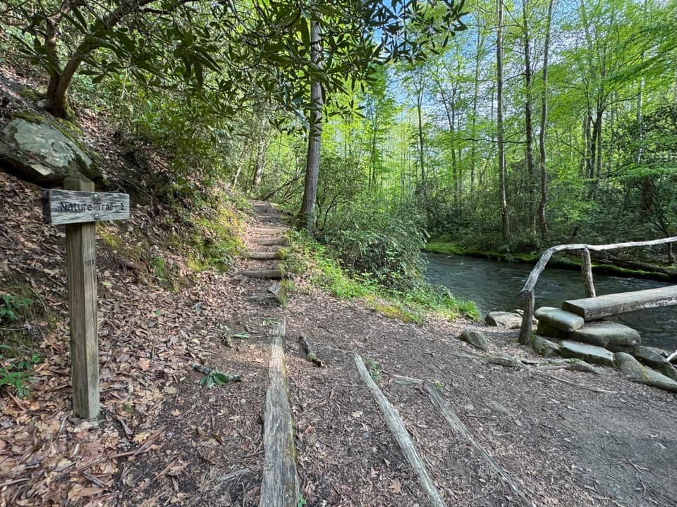
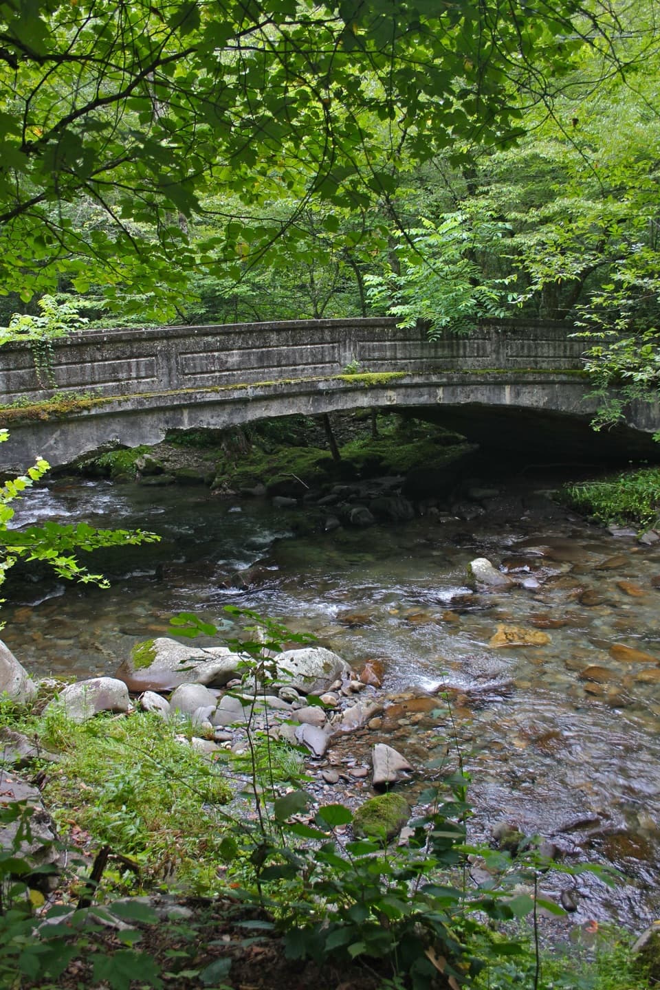
The route follows an old logging road beside Bradley Fork through hardwood forest, with open stretches and thin stands of flowering dogwood, yellow birch, sycamore, and tuliptree. It is relatively flat, though occasional roots and rocks break up the path. Horse riders use this stretch too, and pets aren't allowed. The nearest restroom is at Smokemont Campground.

Water, rock, and a local nameAt the cascade, look for quartz streaks in the sandstone beneath the water.

At the cascade, look for quartz streaks in the sandstone beneath the water. For a photo, keep the full sheet of water and that rock together so the distinctive surface stays visible around this modest drop. Spring brings abundant wildflowers along the route. Chasteen Creek was named for Chasteen Reagan, who lived in the area with his family before the park was established.

Wildlife

Wildlife in Great Smoky Mountains

All Great Smoky Mountains wildlife maps

Sighting maps show where each species has been reported across Great Smoky Mountains. Wildlife moves, so no sighting is guaranteed.

Keep exploring

Near Chasteen Creek Cascade

See it all on the map

Trails nearby

More stops nearby

Parkwolf’s Great Smoky Mountains ranking

Top sights in Great Smoky Mountains

All 137 places
  1. 1Kuwohi Observation TowerSight
  2. 2Newfound Gap OverlookSight
  3. 3Cable Mill Historic AreaSight
  4. 4Mountain Farm MuseumSight
  5. 5John Oliver CabinSight
  6. 6Mingus MillSight

Take Parkwolf to Great Smoky Mountains.

The audio tour guide for the drive, plus offline maps, trails, and wildlife heatmaps for when the signal drops.

4.7 from 8,600+ ratings

Download Parkwolf on the App StoreGet Parkwolf on Google Play