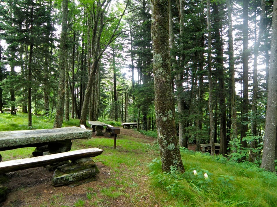
Heintooga Picnic Area

Shady, high-elevation picnic spot at the end of Heintooga Spur
Heintooga Picnic Area, Great Smoky Mountains National Park
InsideGreat Smoky Mountains National Park

Overview

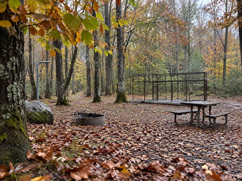
Tucked at the very end of the paved Heintooga Spur Road, this shady, high-elevation nook is the park’s highest picnic area. You’ll find 41 well-spaced sites, each with a table and charcoal grill, plus seasonal restrooms. It’s a quieter alternative to the busy valley picnic spots, and it doubles as a trailhead for the Flat Creek Trail, with the Balsam Mountain Nature Trail and campground just down the road.

Setting and vibe

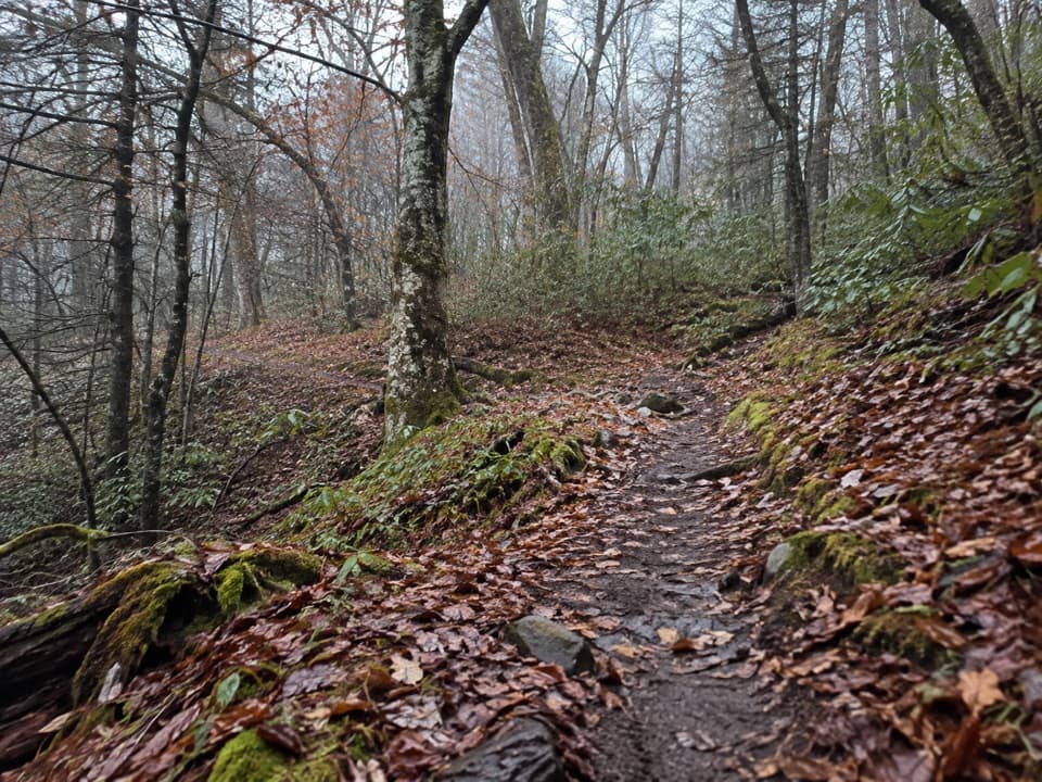
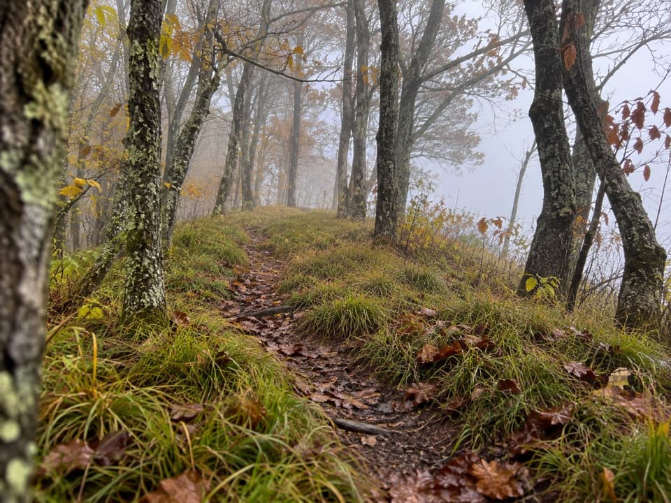
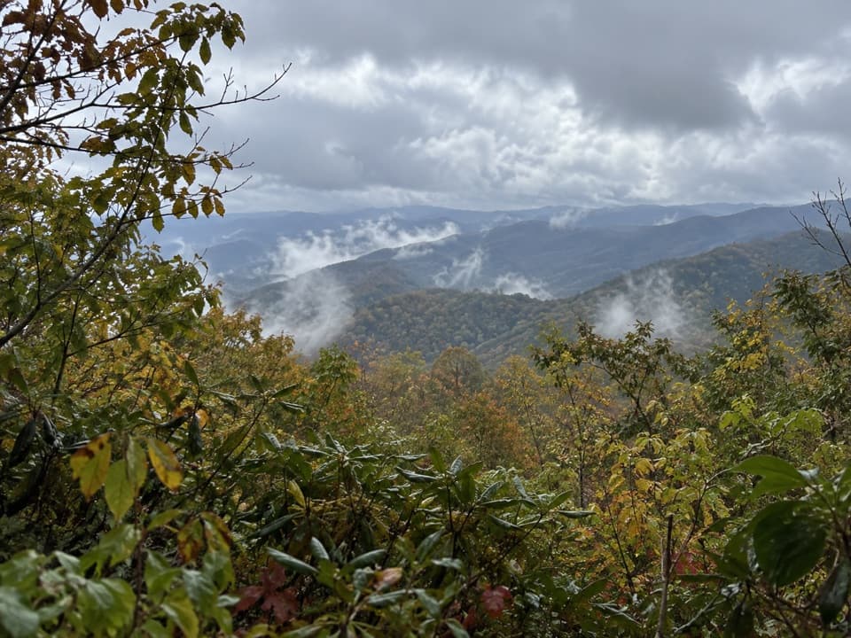
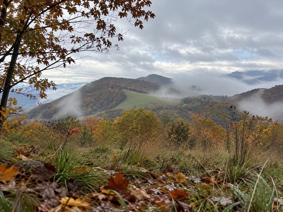
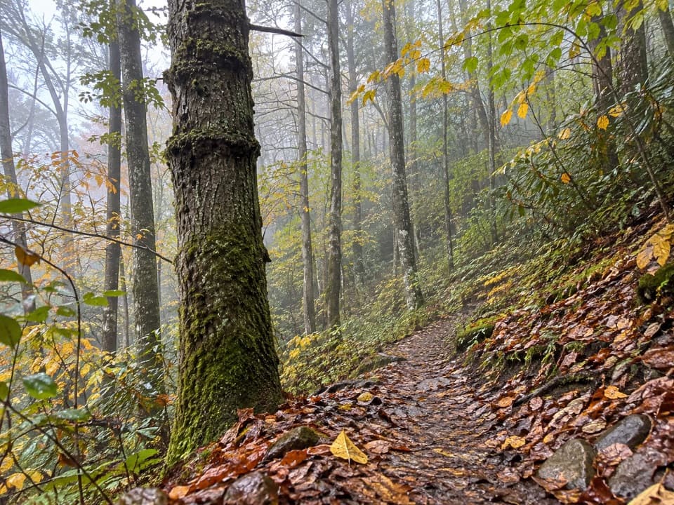
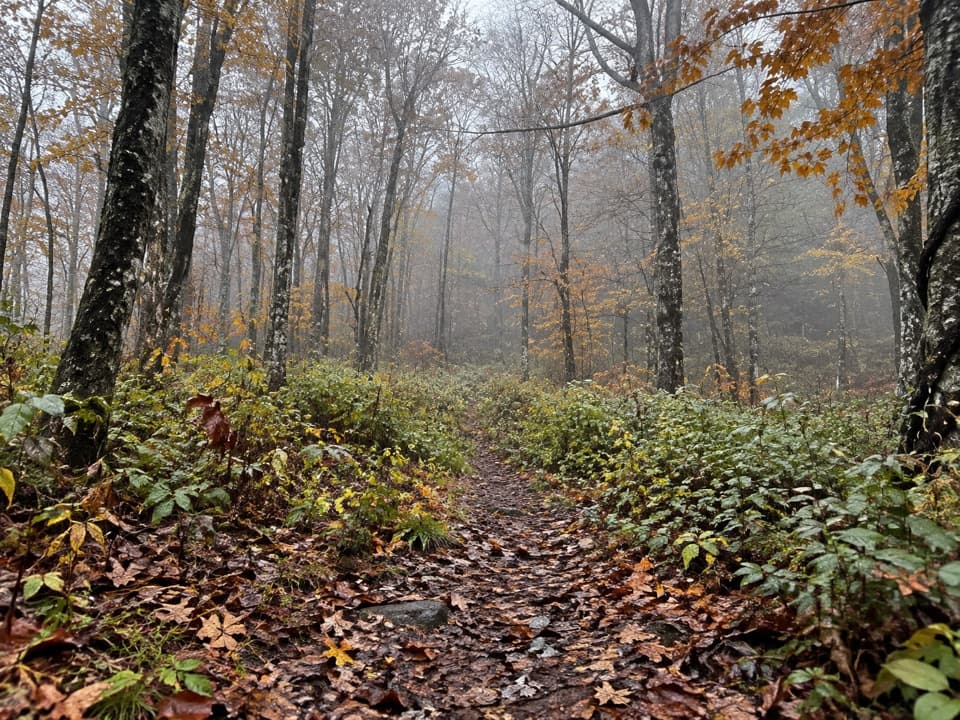
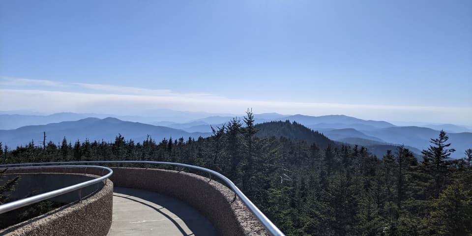
Expect a cool, spruce–fir feel and a picnic zone set in mature forest rather than a grand overlook. A nice bonus: some of the tables are historic, with stonework dating back to the CCC era. Views from the tables themselves are limited, but the drive up offers several overlooks for your vista fix.

Amenities and how it works

  • First-come, first-served; no reservations or site fees.
  • Charcoal grills at each table (charcoal only; no wood fires).
  • Seasonal restrooms; running water is available, and a dishwashing station is at nearby Balsam Mountain Campground.
  • Leashed pets are allowed; pack out or use bear-resistant trash bins and follow all bear-safety rules.

Getting there

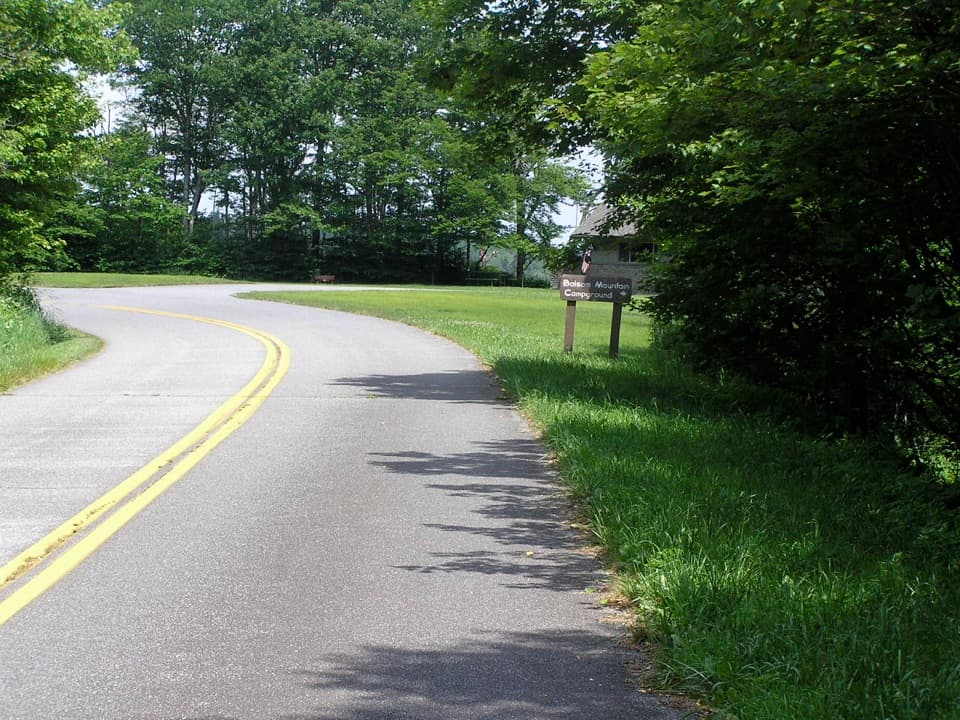
The picnic area sits 9 miles up the paved Heintooga Spur Road from the Blue Ridge Parkway. You’ll pass overlooks and the turn for Balsam Mountain Campground before the pavement ends at the picnic loop. The area isn’t obvious from the road—park by the restroom building and walk a short, fairly steep path up to the tables. At the Parkway–park boundary, you’ll also pass a Masonic memorial.

Wildlife and nearby things to do

This corridor is a good place to watch for elk along the road, especially in the meadows you’ll pass on the way up. Black bears are common—secure food, give animals plenty of space, and use the provided trash receptacles. For a leg-stretcher, start right in on Flat Creek Trail, or head a bit down the road to the Balsam Mountain Nature Trail.

Beyond the picnic area

Past the loop, the road becomes the one-way, seasonal gravel Round Bottom Road for 14 miles to Cherokee. It’s slow-going (think 15 mph) and best avoided by trailers or RVs. A regular car can handle it with care, but plan time and be cautious after heavy rain. If you’re not up for the dirt, the picnic loop is an easy turnaround.

Best time to visit

Open seasonally (typically mid-May to October) from sunrise to sunset. Weekdays are often the most peaceful, and this spot generally sees fewer crowds than lower-elevation picnic areas. Since the tables sit in forest shade, any time of day can be pleasant; pair your picnic with roadside overlooks on the drive for golden-hour views.

Pros

  • Highest-elevation picnic area in the park
  • 41 sites with tables and charcoal grills
  • Flat Creek Trail starts here

Cons

  • Seasonal only (typically mid-May to Oct)
  • No pavilion or electricity
  • Limited views from the tables

Tips

  • Open mid-May through October; verify seasonal status before you go.
  • Bring charcoal—grills are charcoal-only and wood fires are prohibited.
  • Sites are first-come, first-served and free to use.
  • Look for the restroom building; a short, steep path leads up to the tables.
  • Need a dishwashing station or assured potable water? Use nearby Balsam Mountain Campground.
The Parkwolf tour guide sitting on a phone mounted in a car

Parkwolf Tour Guide

Like a tour guide in your car.

Save the places you found around Great Smoky Mountains, then let Parkwolf guide the drive between them.Download Parkwolf on the App Store