Challenging

Enloe Creek Trail

Steep, remote Smokies creek gorge with bridges, cascades, and solitude
Enloe Creek Trail, Great Smoky Mountains National Park
Distance6.2 mi
Typical time4.5 hr
DifficultyChallenging
PetsNot allowed

Overview

If you want a wild, seldom-seen corner of the Smokies with real effort and real payoff, Enloe Creek is your ticket. Most hikers do an out-and-back of about 6.2 miles total with roughly 2,300 feet of climbing. Expect long, sustained grades, slick rocks, and a remote feel that keeps crowds away. Pushing to the off-trail Enloe Creek Falls adds a short, very steep bushwhack and bumps the outing closer to ~7 miles and ~2,500 feet of gain—worth it for some, not for others.

Route Snapshot

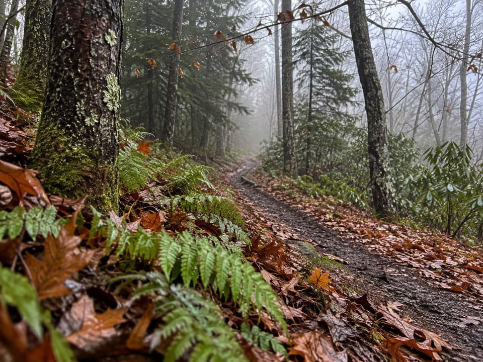
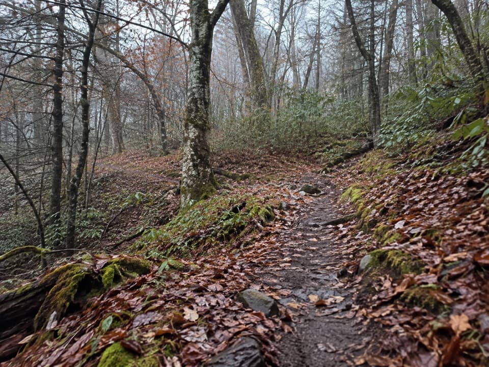
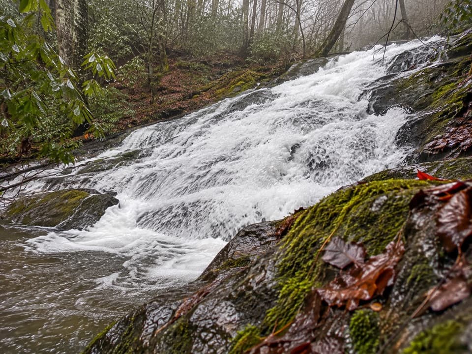
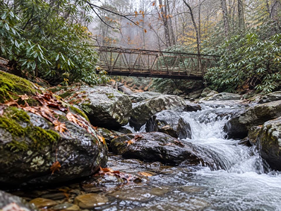
Commonly approached from Straight Fork Road via the Hyatt Ridge Trailhead, you’ll climb Hyatt Ridge and connect to Enloe Creek. The trail drops sharply into Raven Fork Gorge and crosses a stout steel bridge near Backcountry Campsite 47, then rolls past cascades and a footlog over Enloe Creek before climbing again toward the ridge. You’re almost always going up or down. Underfoot is often wet and rocky, with occasional blowdowns after storms. Trekking poles help.

Scenery and Feel

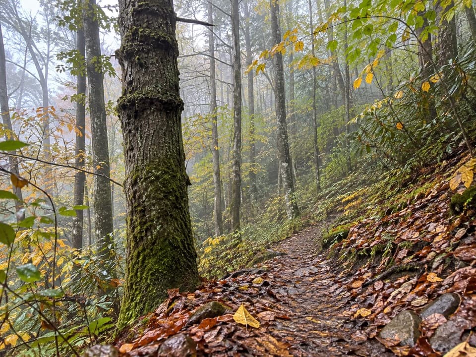
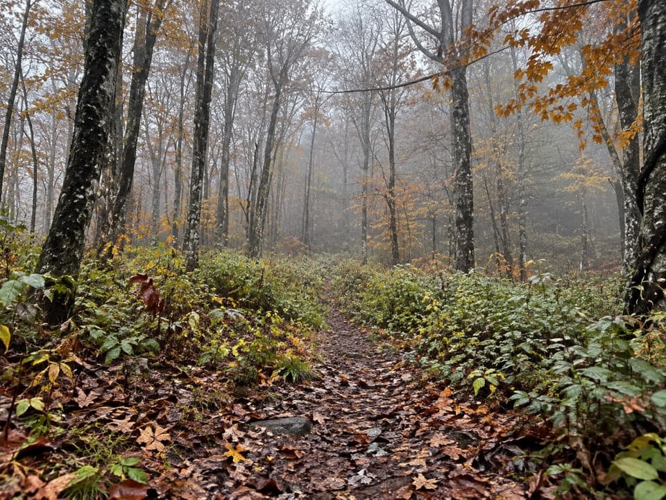
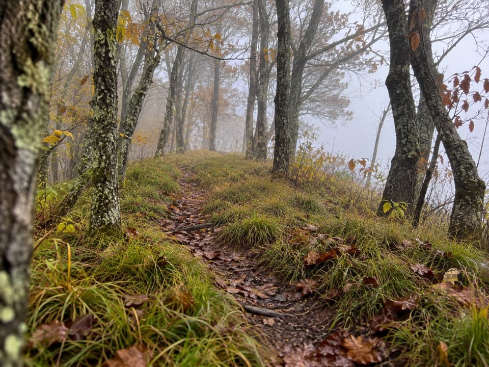
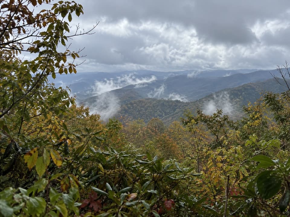
This hike trades sweeping vistas for gorge drama—boulders, a roaring river, and a deep-woods hush. Higher up, you’ll pass lush cove hardwood forest with old-growth character and excellent spring wildflowers. The Raven Fork bridge and the nearby swimming/cascade spots are popular turnarounds. If you’re chasing the named waterfall, know it’s not on the trail and requires a steep, scratchy, off-trail descent.

Difficulty and Who It’s For

It’s a legit hard hike due to sustained elevation changes and slick surfaces. If you like remote creek gorges, big bridges, and dark, mossy forest over their Instagram views, you’ll love it. If you’re after easy waterfalls or grand overlooks, there are better options.

Best Time to Hike

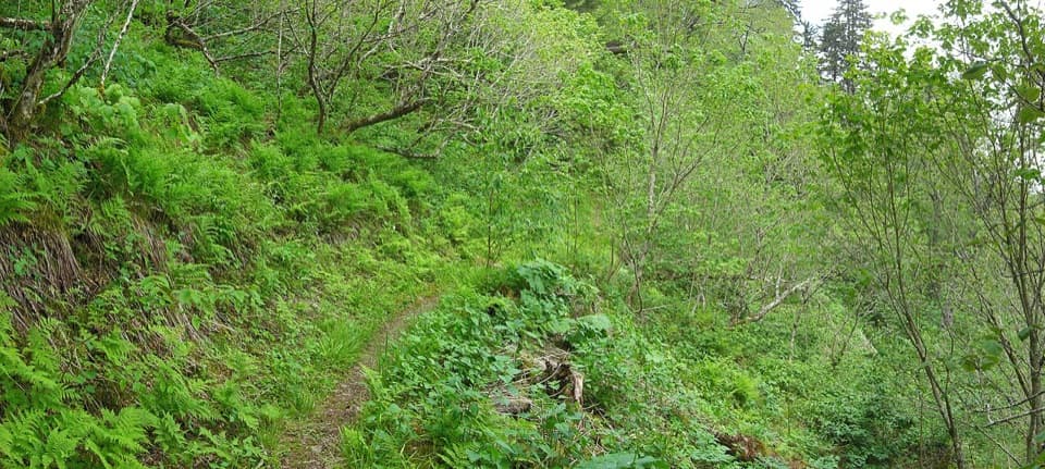
March through December is the sweet spot. Spring brings standout wildflowers; summer is lush but buggy and overgrown; fall is crisp and colorful. Start early for cooler temps on the climbs and better light in the gorge. After big storms, expect extra blowdowns and potentially limited road access.

Access, Parking, and Regulations

Access is typically from Straight Fork Road to the Hyatt Ridge Trailhead. After severe storms, hikers have reported road damage and a couple of miles of extra road walking—check conditions before you go. A paid day parking tag is required to leave a vehicle in the park. No dogs on this trail.

Tips

  • Poles for the grades and slick footlogs; sticky rubber helps on wet rock.
  • If the falls are your goal, know it’s a steep, off-trail bushwhack—skip it in high water or when vegetation is thick.
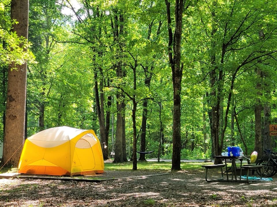
  • Backpackers: Campsite 47 sits just beyond the Raven Fork bridge; it’s compact and can be muddy—book permits as required.
  • Anglers with strong wading skills will find a challenging, rewarding brook trout fishery in Enloe Creek.

Pros

  • Rare solitude in the dramatic Raven Fork gorge, far from busy corridors
  • Lush cove hardwood forest with standout spring wildflowers and old-growth character
  • Legit brook trout water for skilled anglers seeking a rugged creek

Cons

  • The named waterfall is off-trail via a very steep bushwhack that many will find not worth it
  • After storms, road closures can add a lengthy approach and blowdowns
  • Wet, rocky tread and slick footlogs make footing tedious even when dry

Parking

Park at the Hyatt Ridge Trailhead off Straight Fork Road near Big Cove/Cherokee (approx. 35.608864, -83.222839). A paid day parking tag is required. After storms, the road may be closed, adding a ~2-mile walk to reach the trailhead.

Caution

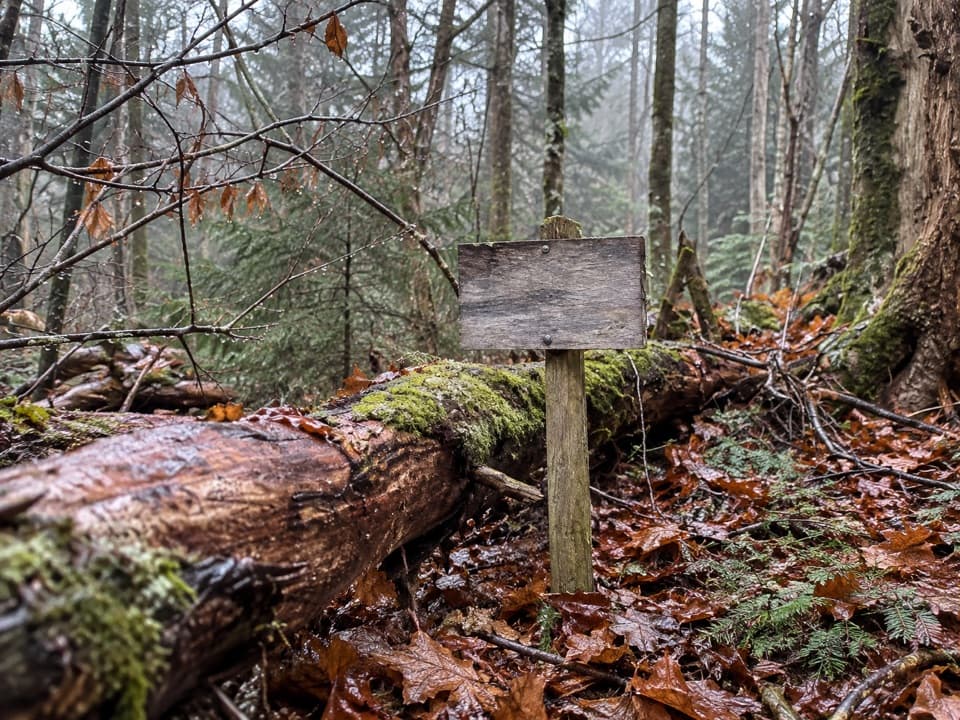
Sustained steep grades; very slick rocks and footlogs; frequent blowdowns after storms; sections can be unblazed; occasional horse/pack stock; the falls requires a steep off-trail bushwhack—attempt only if experienced.

The Parkwolf tour guide sitting on a phone mounted in a car

Parkwolf Tour Guide

Like a tour guide in your car.

Bring Great Smoky Mountains trail research into the car, with offline maps and stories that play as you drive.Download Parkwolf on the App Store