Hemphill Bald Trail in Great Smoky Mountains National Park

Great Smoky Mountains National Park, TN · NC

Hemphill Bald Trail

A long out-and-back to a grassy bald with mountain views.

Length
9.4mi
Time
6hr
Elev. change
459ft
Difficulty
Moderate
  • No dogs
  • High point 5,554 ft
  • #40 of 197 in Great Smoky Mountains

Hear the audio tour

Polls Gap and Hemphill Bald

Overview

About Hemphill Bald Trail

Why go

  • A long, relatively flat logging grade eases the first 2.5 miles.
  • The open bald gives broad views toward several named ranges and peaks.

Heads up

  • The 9.4-mile round trip takes most of a day.
  • The access road has a short seasonal window.
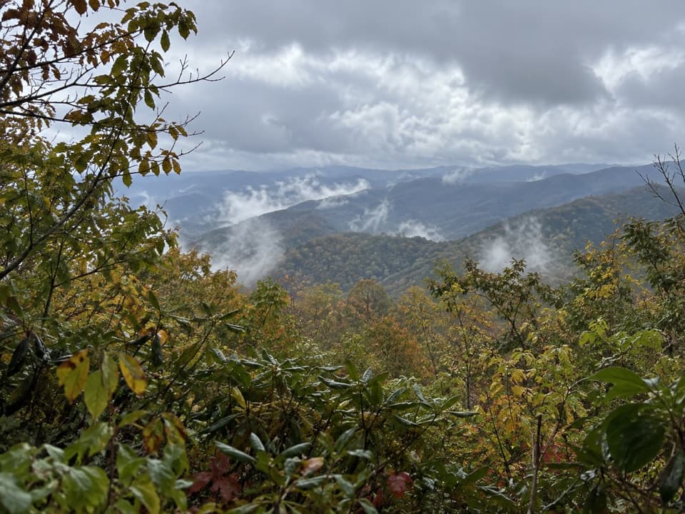
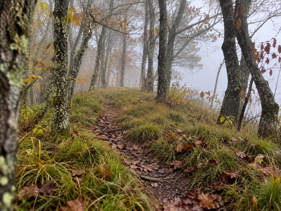
Hemphill Bald Trail is a 9.4-mile out-and-back from Polls Gap to a grassy summit opening with long views over the surrounding mountains. It makes sense if you want a substantial forest walk with a clear destination, not a quick roadside viewpoint. Allow about six hours, including a stop at the bald. The first 2.5 miles are relatively flat; the route gets hillier as it climbs to Little Bald Knob, drops into Pine Tree Gap, and climbs again to Hemphill Bald.
Parkwolf’s verdictIs this the hike for you?

Map & elevation

The route

Loading the Great Smoky Mountains map
Full map
Elevation5,095–5,554 ft
TrailheadPolls Gap parking area, Heintooga Ridge Road35.56316, -83.16209
Keep this map with you offline in the Parkwolf app

Plan your hike

Before you go

Parking

Park at Polls Gap on Heintooga Ridge Road; the trail starts from the right side of the lot. The road normally opens May 15 through October 31 and can close for snow, ice, or mud. A parking tag is required for vehicles parked more than 15 minutes. Lot capacity and toilets are unconfirmed.

Safety

No drinking-water source was confirmed at Polls Gap or along the route; carry enough for the full 9.4-mile outing. Pets are prohibited on this trail except service animals.

7 active Great Smoky Mountains alerts

  • ClosureHurricane Helene backcountry trail closures and hazardsHurricane Helene damage has closed backcountry trails and left hazardous crossings; avoid closed routes and heed trail-specific restrictions.Official details
  • CautionBear-related trail, road, shelter, and campsite restrictionsBear activity has closed trails, a shelter, and campsites and restricted pedestrian access on Cherokee Orchard Road; follow the vehicle restrictions and avoid closed areas.Official details
See all 7 alerts
A park ranger sits on a dash-mounted phone, talking, as Parkwolf’s Tour Guide plays “Army Cutworm Moths: A Grizzly Bear Buffet” on Grand Loop Road below Dunraven Pass in Yellowstone
Parkwolf Tour GuideThe highest, rockiest slopes around here are a summer buffet for grizzly bears.

Great Smoky Mountains Tour Guide

Your drive to Hemphill Bald Trail, narrated.

Parkwolf is a GPS audio tour guide for Great Smoky Mountains National Park. As you drive, it chimes in with what’s ahead: hidden gems, upcoming stops, history, geology, and wildlife, right through your car’s speakers.

See the Great Smoky Mountains audio tour

Recorded for this trailhead

Polls Gap and Hemphill Bald
0:00 / 0:25
“You're approaching Polls Gap, the trailhead for a long walk to Hemphill Bald's grassy opening and mountain views.”

Plays as you drive up to this trailhead in the Parkwolf Great Smoky Mountains Tour Guide.

More stories near here in the app

  • The Caterpillar's False Eyes
  • Flat Creek Trailhead
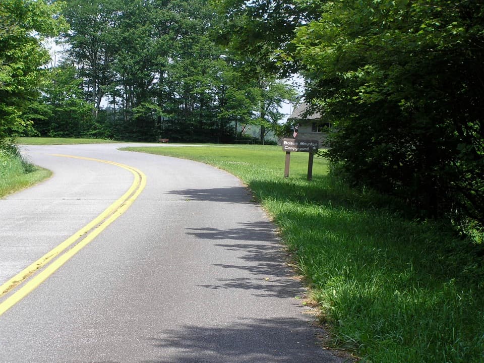
  • Balsam Mountain Campground and Nature Trail
  • Heintooga Picnic Area and Overlook
  • 188 audio storiesacross Great Smoky Mountains’s roads, triggered by GPS as you drive
  • Wildlife heatmapsfor Black Bear, Elk, Bald Eagle, and 13 more
  • Works offlinemaps, 197 trails, 100 places, and audio download before you lose signal
  • CarPlay readysimple controls built for the drive
★★★★★
“Fantastic app with many points of information… It’s great to just turn on while you’re driving and it gives you an audio tour of the national Park. We love it!!!!”
JMJamesApp Store review
Download Parkwolf on the App StoreGet Parkwolf on Google Play

4.7 from 8,600+ ratings

Trail guide

Hiking Hemphill Bald Trail

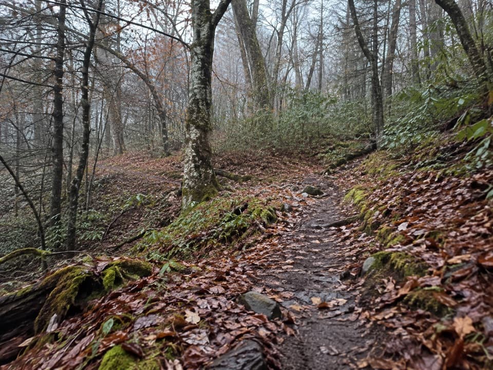
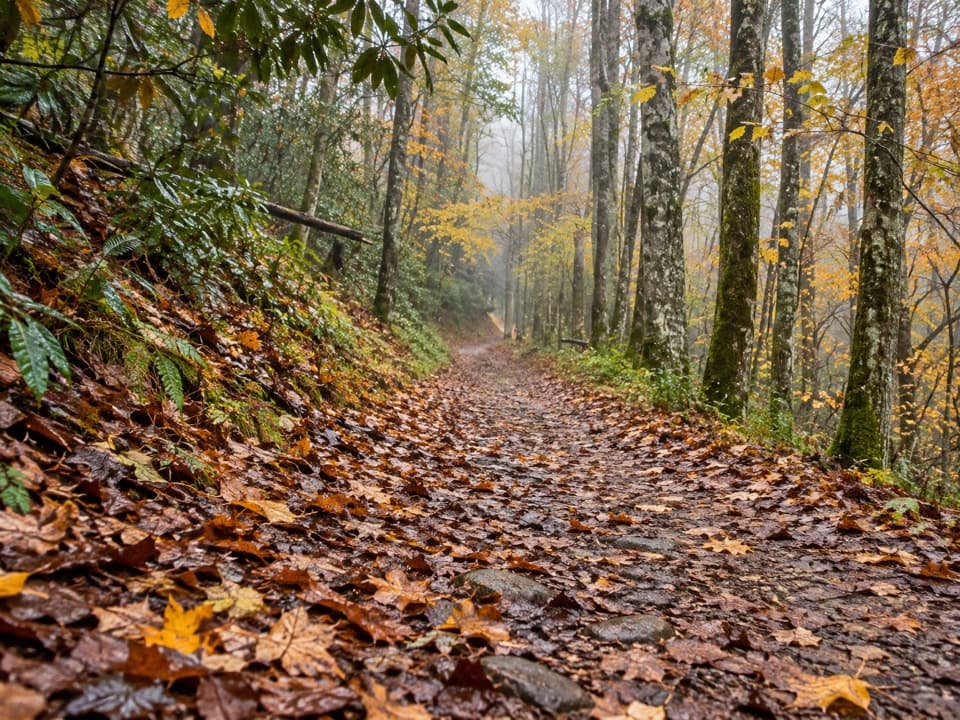
The way upFrom Polls Gap, the trail follows an old logging railroad grade for roughly 2.5 miles.

From Polls Gap, the trail follows an old logging railroad grade for roughly 2.5 miles. It is a gentler start than the distance might suggest. Then the route climbs along the park boundary to Little Bald Knob, around 5,500 feet, descends to Pine Tree Gap at about 5,200 feet, and makes its final climb to the bald, also around 5,500 feet. The return follows the same corridor, so the full distance includes the walk back to Polls Gap.

At Hemphill BaldThe payoff is an open grassy field beside Cataloochee Ranch, with a broad horizon toward the…

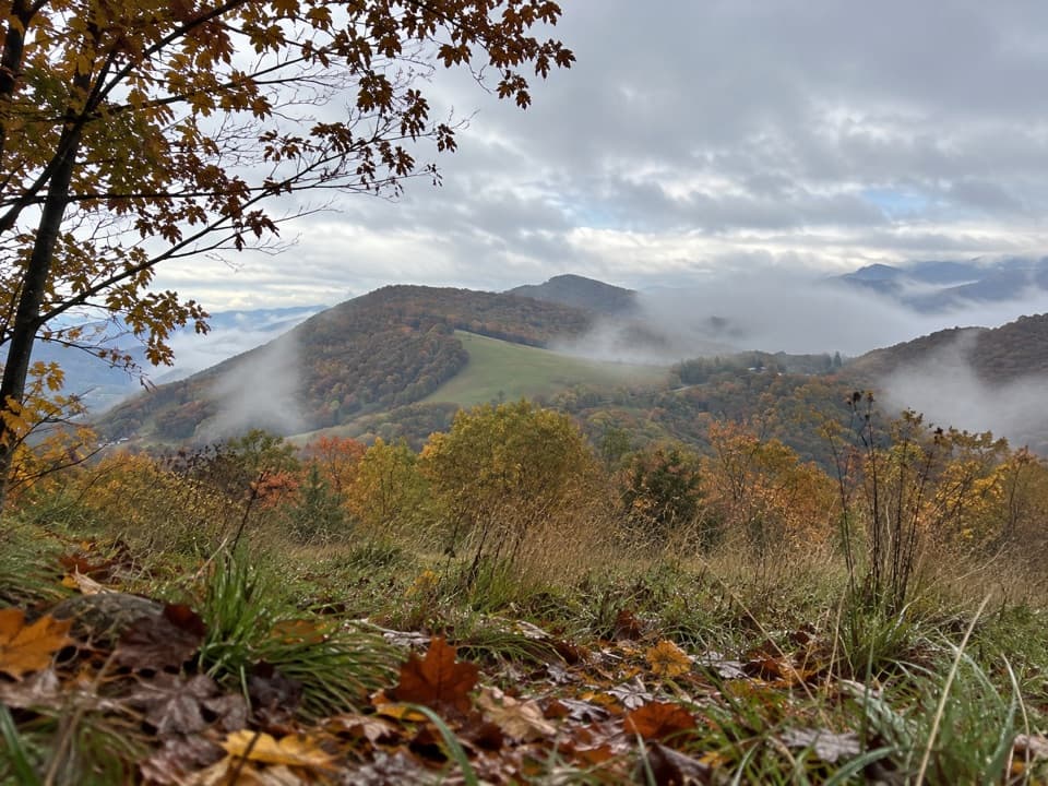
The payoff is an open grassy field beside Cataloochee Ranch, with a broad horizon toward the Plott Balsams, Mount Pisgah, Max Patch, and Mount Mitchell. A summit sighting device honors the ranch founders and helps pick out distant peaks. Take a few minutes here: the view is the reason to keep going after the long, steady approach.

A trail with older layersThe lower grade is a trace of the 1930s logging work by Suncrest Lumber Company.

The lower grade is a trace of the 1930s logging work by Suncrest Lumber Company. Near Little Bald Knob, chestnut rail fencing installed by the Civilian Conservation Corps in the 1930s was meant to keep cattle off land newly added to the park. In July, a trip report noted mayapple, snake root, and black cohosh along the route, with some black cohosh still blooming.

Plan the accessPark at Polls Gap on Heintooga Ridge Road; the trail starts from the right side of the lot.

Park at Polls Gap on Heintooga Ridge Road; the trail starts from the right side of the lot. The road normally opens from May 15 through October 31, but snow, ice, or mud can force a closure. A parking tag is required when a vehicle stays longer than 15 minutes. Lot capacity, toilets, and drinking water at Polls Gap are unconfirmed, and no food service was found there or along the route. Bring what you need for a long day. Pets are not allowed on this trail except service animals; the park allows leashed pets only on the Gatlinburg and Oconaluftee River trails.

Wildlife

Wildlife in Great Smoky Mountains

All Great Smoky Mountains wildlife maps

Sighting maps show where each species has been reported across Great Smoky Mountains. Wildlife moves, so no sighting is guaranteed.

Keep exploring

Near Hemphill Bald Trail

See it all on the map

Trails that start nearby

Places near the trailhead

Parkwolf’s Great Smoky Mountains ranking

Top-rated trails in Great Smoky Mountains

All 197 trails
  1. 1Mount Le Conte via Alum Cave TrailChallenging · 10 mi
  2. 2Charlies Bunion via Appalachian TrailModerate · 8 mi
  3. 3Alum Cave Trail to Alum Cave BluffsModerate · 4.6 mi
  4. 4Ramsey Cascades TrailChallenging · 8 mi
  5. 5Mount Cammerer TrailChallenging · 11.1 mi
  6. 6Gregory Ridge TrailChallenging · 11.4 mi

Take Parkwolf to Great Smoky Mountains.

The audio tour guide for the drive, plus offline maps, trails, and wildlife heatmaps for when the signal drops.

4.7 from 8,600+ ratings

Download Parkwolf on the App StoreGet Parkwolf on Google Play