Parking
Beech Gap Trailhead Parking #2 is on Straight Fork Road at Round Bottom; a short access spur meets the east arm. A parking tag is required for stays longer than 15 minutes.
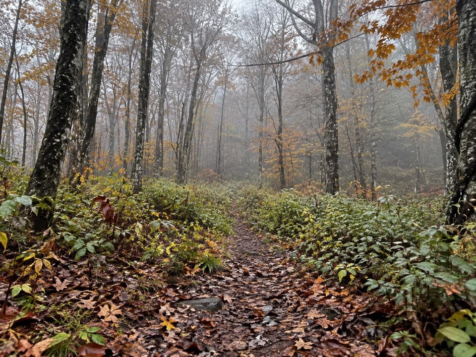
Great Smoky Mountains National Park, TN · NC
A five-mile climb to the Balsam Mountain Trail junction.
Overview
Map & elevation
Plan your hike

The highest, rockiest slopes around here are a summer buffet for grizzly bears.
Great Smoky Mountains Tour Guide
Parkwolf is a GPS audio tour guide for Great Smoky Mountains National Park. As you drive, it chimes in with what’s ahead: hidden gems, upcoming stops, history, geology, and wildlife, right through your car’s speakers.
See the Great Smoky Mountains audio tourRecorded for this area
Margaret Stevenson's Mountain“Margaret Stevenson hiked to Mount Le Conte seven hundred eighteen times. She was forty-eight when she made her first recorded trip, in nineteen sixty.”
Plays on the road 0.3 mi from the trailhead in the Parkwolf Great Smoky Mountains Tour Guide.
More stories near here in the app
“Fantastic app with many points of information… It’s great to just turn on while you’re driving and it gives you an audio tour of the national Park. We love it!!!!”


Trail guide
Beech Gap I is the east arm of Beech Gap Trail: a five-mile out-and-back from Round Bottom to the junction with Balsam Mountain Trail, with about 1,900 feet of climbing. Allow roughly four hours. The outward leg is a sustained woods climb, so choose it for a longer mountain walk rather than a quick stop.
The path follows an old railroad grade briefly, then turns sharply right and climbs. Keep to the Beech Gap tread; the old grade runs toward Straight Fork and is not the route to Balsam Mountain Trail. Turn around at the junction and retrace the same corridor. Loose rocks can hide beneath fallen leaves on the descent, so slow down when leaf cover obscures the tread.
Start at Beech Gap Trailhead Parking #2 on Straight Fork Road in Round Bottom. A park parking tag is required for vehicles parked longer than 15 minutes. Dogs are prohibited on this route. Food, drinking water and toilets were not confirmed at the lot or along the walk, so bring what you need.
Wildlife
 1,566 sightingsBlack BearMost seen around 7 PMSighting map
 899 sightingsElkMost seen around 7 AMSighting map
 13 sightingsBald EagleMost seen around 9 AMSighting map
 142 sightingsTimber RattlesnakeMost seen around 6 PMSighting map
 26 sightingsBobcatMost seen around 8 PMSighting map
 42 sightingsRiver OtterMost seen around 7 AMSighting map
Sighting maps show where each species has been reported across Great Smoky Mountains. Wildlife moves, so no sighting is guaranteed.
Keep exploring
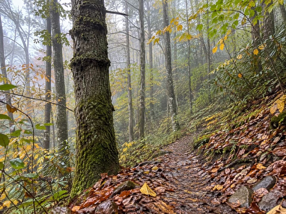 ChallengingHyatt Ridge Trail4.4 mi · 4 hr · 1.2 mi awayA steep forest climb ends at a remote backcountry camp.
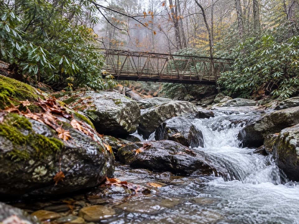 ChallengingEnloe Creek Trail5.4 mi · 5.5 hr · 1.2 mi awaySteel bridge and creek cascades reward a demanding backcountry traverse.
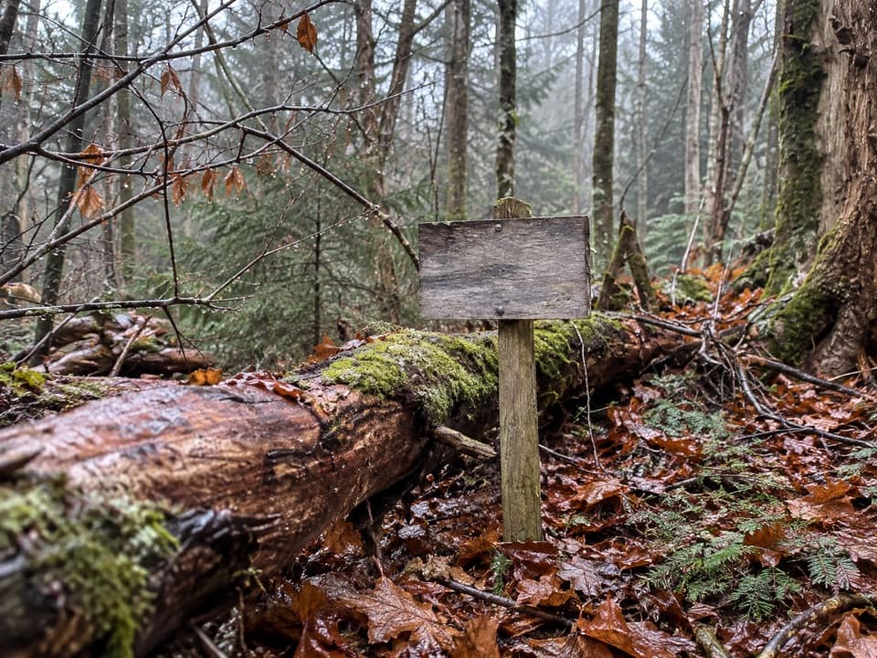 ModerateSpruce Mountain Trail2.3 mi · 1.8 hr · 1.8 mi awayMoss, spruce and a backcountry campsite after a short climb.
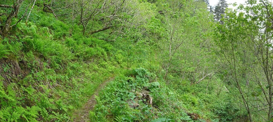 ChallengingBalsam Mountain Trail9.9 mi · 6.5 hr · 1.9 mi awaySpruce climb, quiet high ridge, long views in both directions.
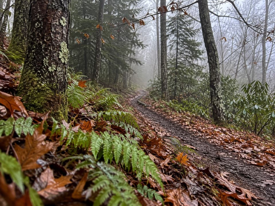 ModerateHughes Ridge Trail4.6 mi · 3.5 hr · 4.1 mi awayA remote ridge connector to the Appalachian Trail at Pecks Corner
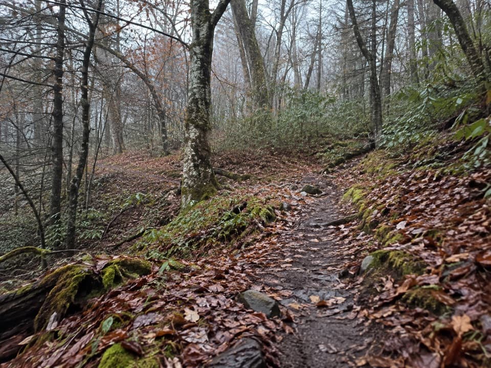 EasyBalsam Mountain Nature Trail1.3 mi · 45 min · 4.4 mi awayA short nature walk through high-elevation campground woods.
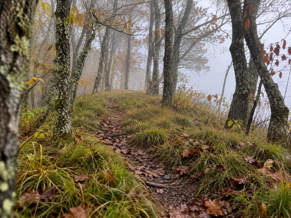 ModerateHemphill Bald Trail9.4 mi · 6 hr · 5 mi awayA long out-and-back to a grassy bald with mountain views.
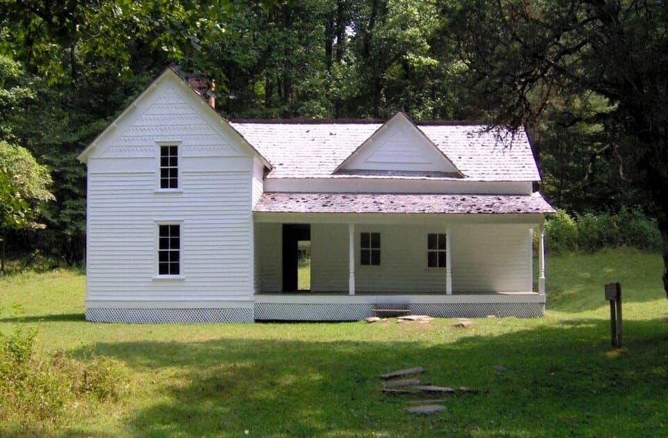 EasyRough Fork Trail to Steve Woody House2 mi · 1.3 hr · 5.1 mi awayA gentle creekside walk to a historic Cataloochee homestead.
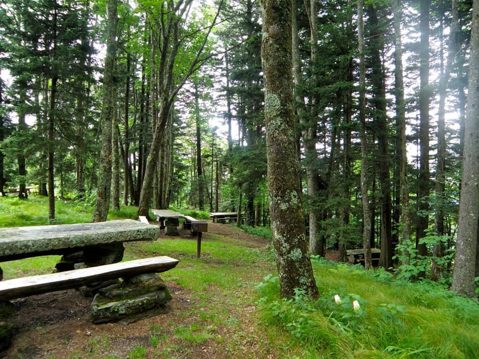 Picnic area · 3.9 mi awayHeintooga Picnic AreaHighest picnic area in the park, with the overlook close by.
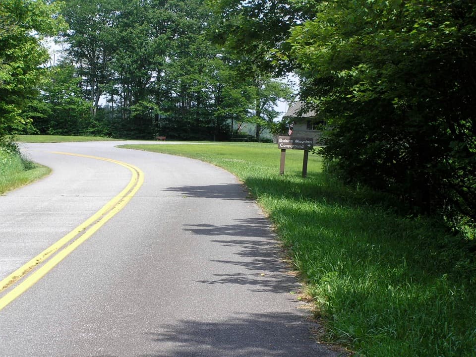 Campground · 4.5 mi awayBalsam Mountain CampgroundA cool, high-country stay at 5,310 feet.Sight · 4.8 mi awaySteve Woody HouseA streamside walk ends at Cataloochee's historic farmstead.
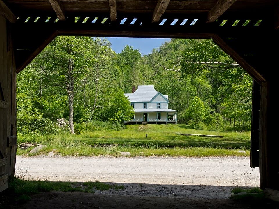 Sight · 5.3 mi awayCaldwell PlaceOld newspaper still lines the walls of this mountain home.
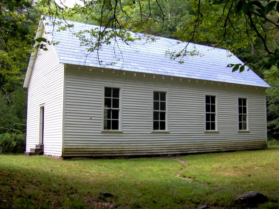 Sight · 5.5 mi awayBeech Grove SchoolA 1901 schoolhouse with a local story about fire.
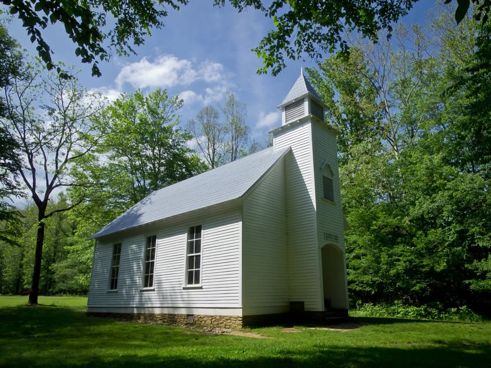 Sight · 5.7 mi awayPalmer ChapelA small valley church with a big role in Cataloochee's story.
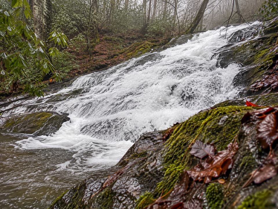 Sight · 6.1 mi awayChasteen Creek CascadeA 15-foot, quartz-streaked cascade beyond a wooded creek walk.
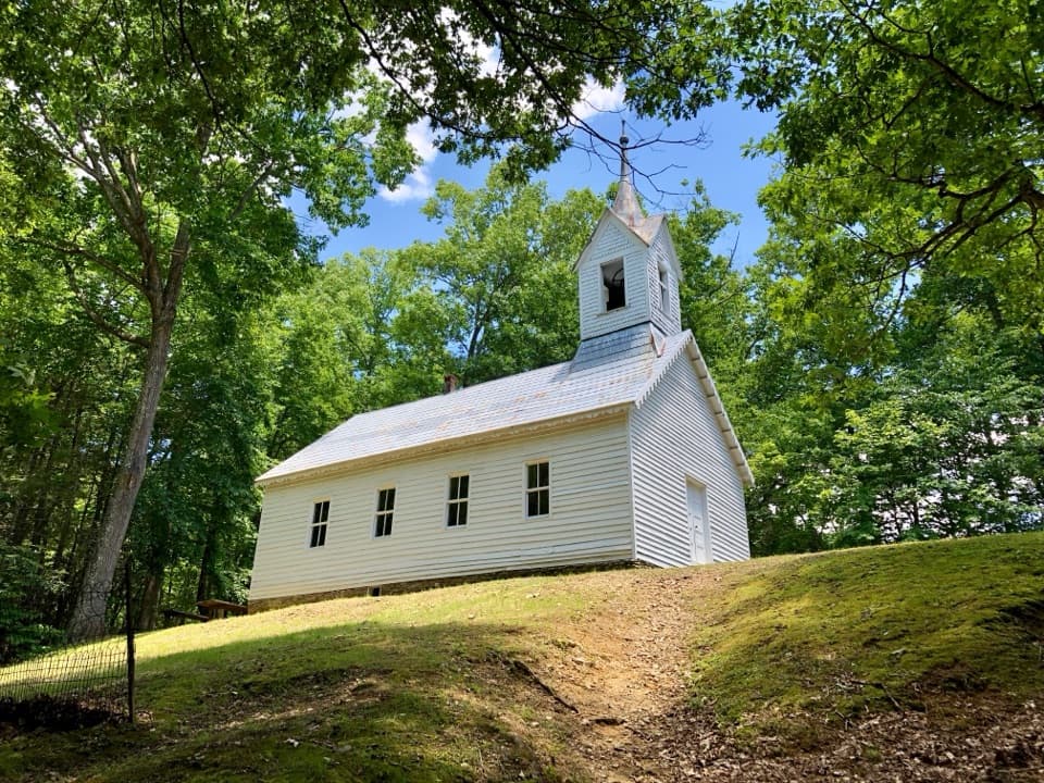 Sight · 7 mi awayLittle Cataloochee Baptist ChurchAn 1889 chapel with its original 400-pound bell rewards the hike
Parkwolf’s Great Smoky Mountains ranking

The audio tour guide for the drive, plus offline maps, trails, and wildlife heatmaps for when the signal drops.





