Parking
Use the roadside pullout where the trail meets Balsam Mountain Road; it has room for only a couple of vehicles. The road is one-way gravel and seasonal, so check its access before driving.
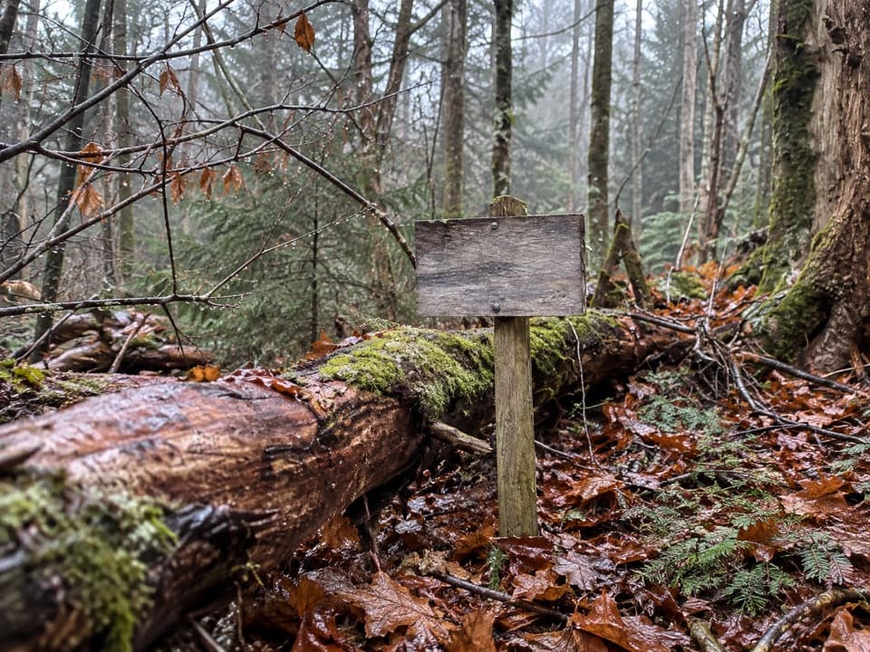
Great Smoky Mountains National Park, TN · NC
Moss, spruce and a backcountry campsite after a short climb.
Overview
Map & elevation
Plan your hike

The highest, rockiest slopes around here are a summer buffet for grizzly bears.
Great Smoky Mountains Tour Guide
Parkwolf is a GPS audio tour guide for Great Smoky Mountains National Park. As you drive, it chimes in with what’s ahead: hidden gems, upcoming stops, history, geology, and wildlife, right through your car’s speakers.
See the Great Smoky Mountains audio tourRecorded for this area
The Magnolia with Ears“If a woodland tree has enormous leaves clustered at the ends of its branches, check the base of a leaf. On Fraser magnolia, two small lobes stick out where the blade meets the stalk, looking like a pair of ears.”
Plays on the road 0.3 mi from the trailhead in the Parkwolf Great Smoky Mountains Tour Guide.
More stories near here in the app
“Fantastic app with many points of information… It’s great to just turn on while you’re driving and it gives you an audio tour of the national Park. We love it!!!!”


Trail guide
Spruce Mountain Trail is a 2.3-mile out-and-back from Balsam Mountain Road to Campsite 42. The mapped path is about 1.14 miles each way; allow 1½–2 hours for roughly 700 feet of climbing. The turnaround is a small backcountry clearing rather than a summit viewpoint. Balsam Mountain Road is one-way gravel with seasonal access, so check road access before driving. A parking tag is required for stops longer than 15 minutes.
The natural-surface trail climbs from the road through dense woods. The lower stretch begins among nettles and pines; after about three-quarters of a mile, red spruce become more prominent. Retrace the same tread on the return.
The path ends at a sparse clearing surrounded by spruce, with moss across the ground and Bear Branch nearby. There is no dependable water refill confirmed along the route, so carry what you need. Dogs are prohibited on this trail.
Wildlife
 1,566 sightingsBlack BearMost seen around 7 PMSighting map
 899 sightingsElkMost seen around 7 AMSighting map
 13 sightingsBald EagleMost seen around 9 AMSighting map
 142 sightingsTimber RattlesnakeMost seen around 6 PMSighting map
 26 sightingsBobcatMost seen around 8 PMSighting map
 42 sightingsRiver OtterMost seen around 7 AMSighting map
Sighting maps show where each species has been reported across Great Smoky Mountains. Wildlife moves, so no sighting is guaranteed.
Keep exploring
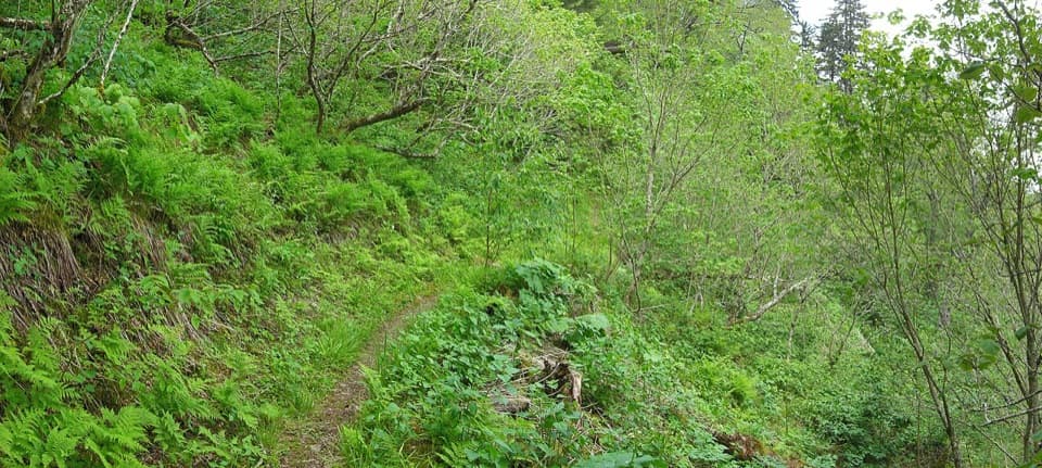 ChallengingBalsam Mountain Trail9.9 mi · 6.5 hr · 1.6 mi awaySpruce climb, quiet high ridge, long views in both directions.
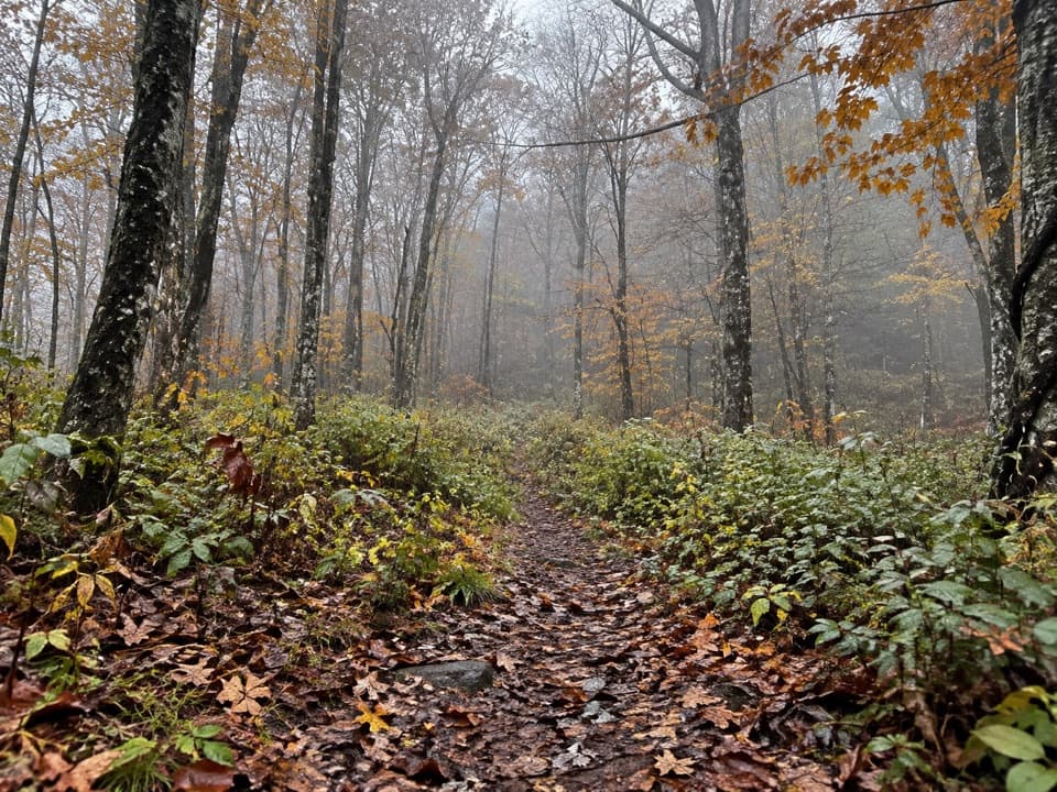 ChallengingBeech Gap I Trail5 mi · 4 hr · 1.8 mi awayA five-mile climb to the Balsam Mountain Trail junction.
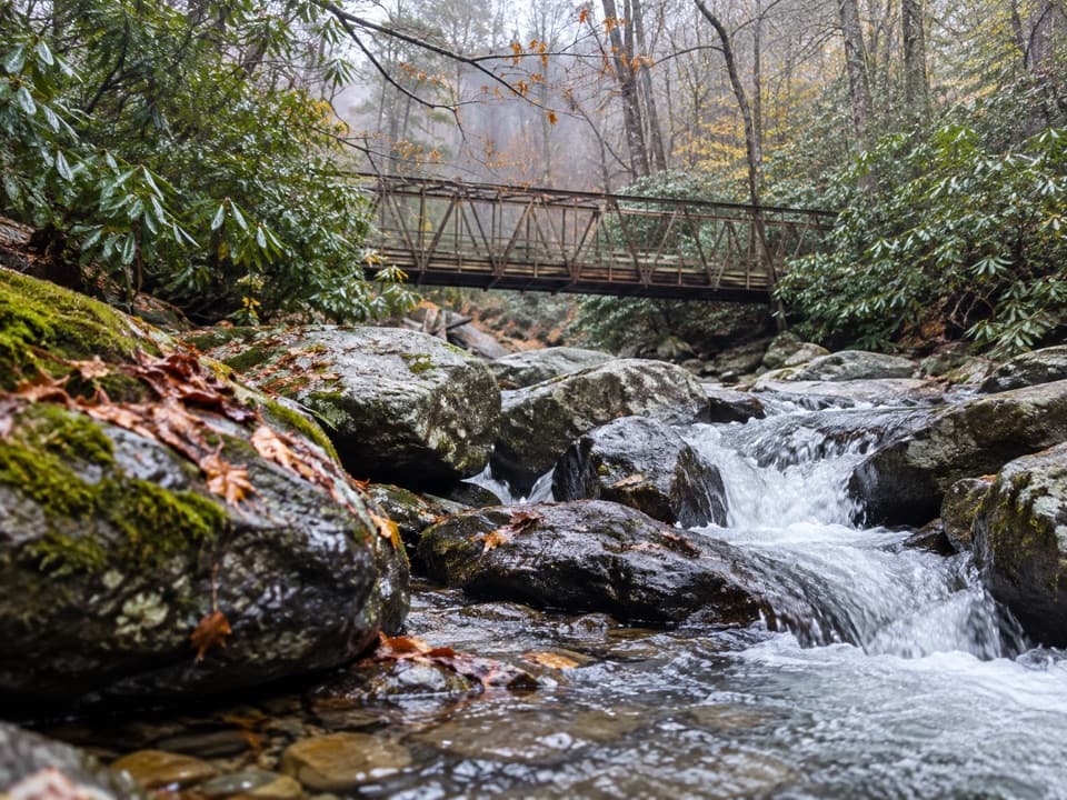 ChallengingEnloe Creek Trail5.4 mi · 5.5 hr · 2.2 mi awaySteel bridge and creek cascades reward a demanding backcountry traverse.
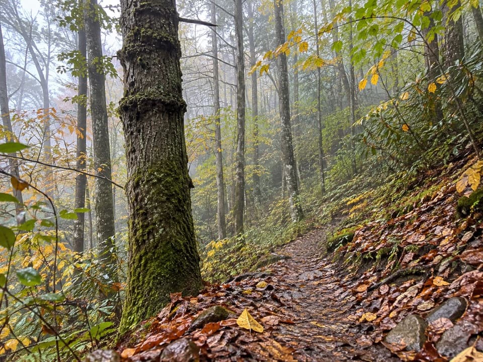 ChallengingHyatt Ridge Trail4.4 mi · 4 hr · 2.2 mi awayA steep forest climb ends at a remote backcountry camp.
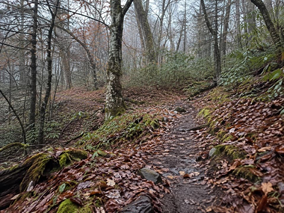 EasyBalsam Mountain Nature Trail1.3 mi · 45 min · 3.1 mi awayA short nature walk through high-elevation campground woods.
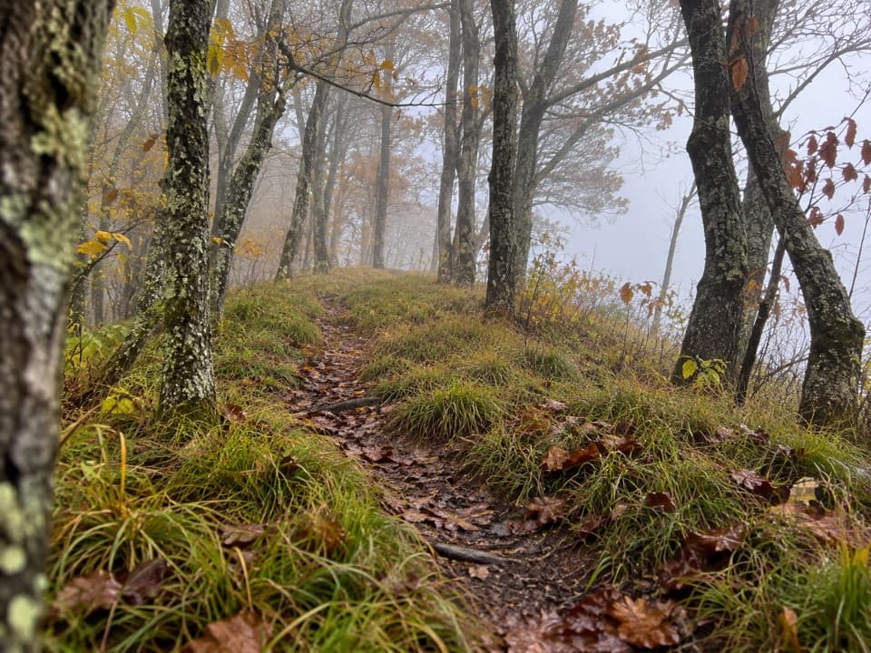 ModerateHemphill Bald Trail9.4 mi · 6 hr · 3.5 mi awayA long out-and-back to a grassy bald with mountain views.
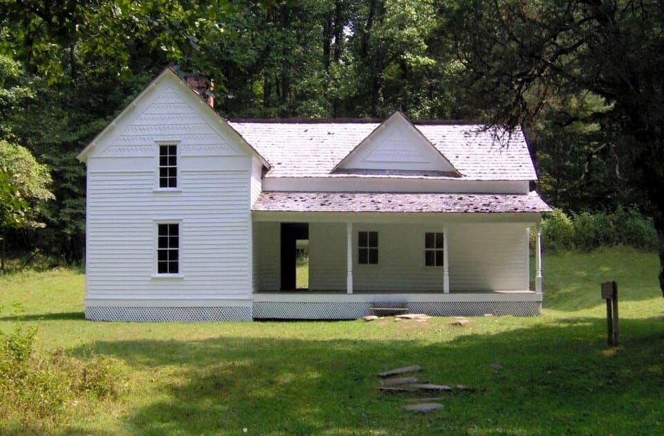 EasyRough Fork Trail to Steve Woody House2 mi · 1.3 hr · 3.6 mi awayA gentle creekside walk to a historic Cataloochee homestead.
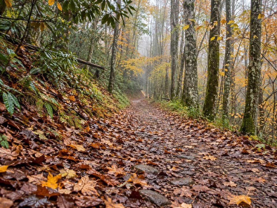 ModerateBig Fork Ridge Loop Trail9.3 mi · 5.5 hr · 3.7 mi awayRugged 9.3-mile loop with creek crossings and a Balsam Mountain view.
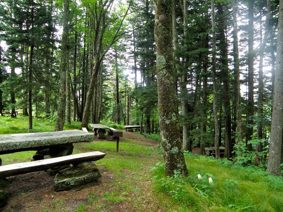 Picnic area · 2.6 mi awayHeintooga Picnic AreaHighest picnic area in the park, with the overlook close by.Sight · 3.2 mi awaySteve Woody HouseA streamside walk ends at Cataloochee's historic farmstead.
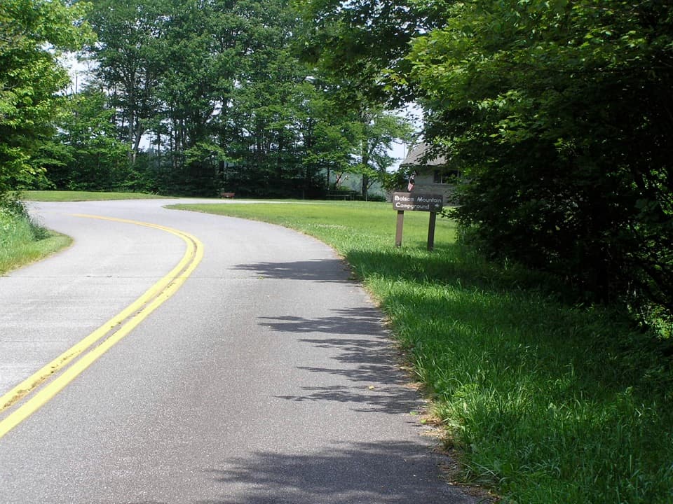 Campground · 3.2 mi awayBalsam Mountain CampgroundA cool, high-country stay at 5,310 feet.
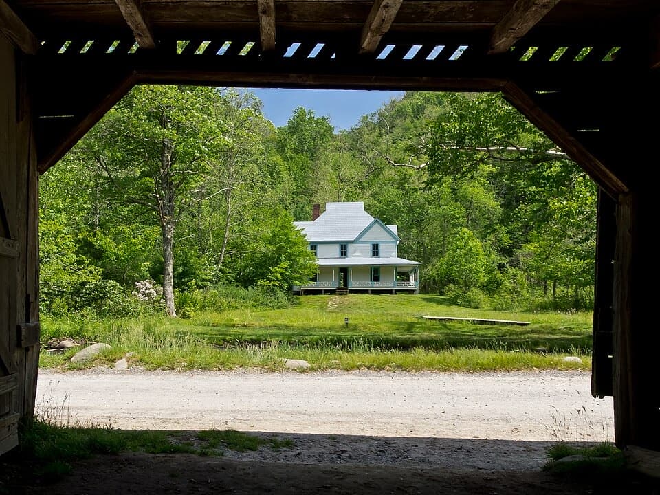 Sight · 3.9 mi awayCaldwell PlaceOld newspaper still lines the walls of this mountain home.
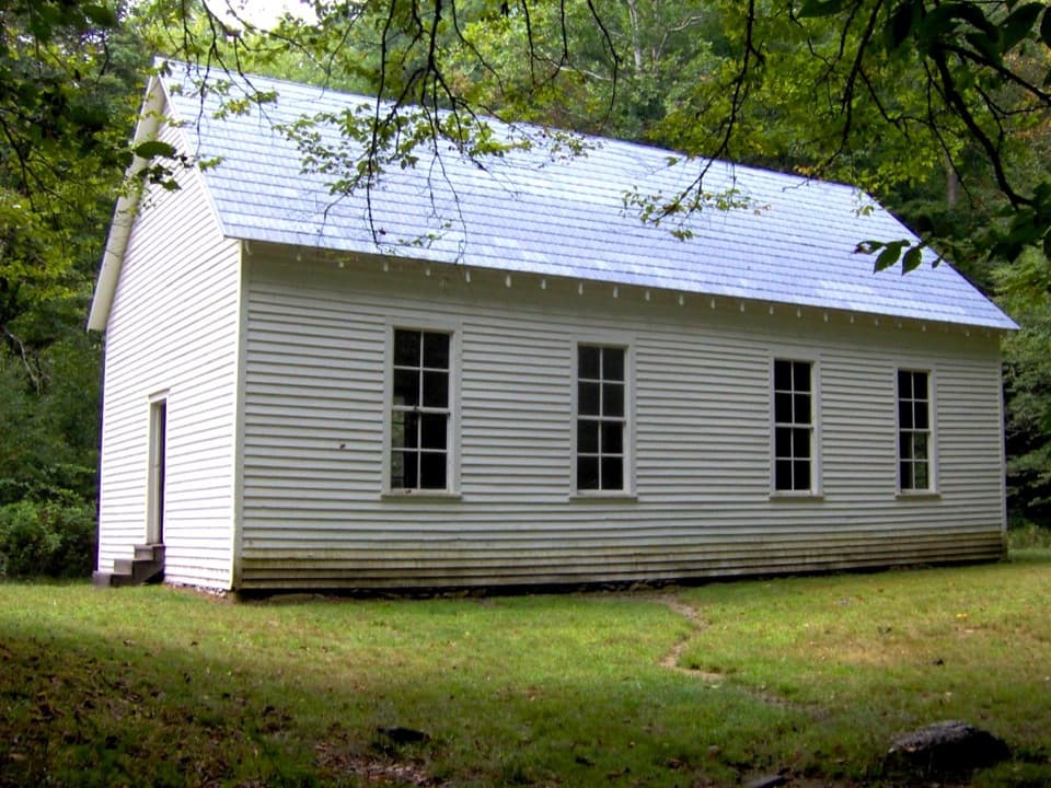 Sight · 4.1 mi awayBeech Grove SchoolA 1901 schoolhouse with a local story about fire.
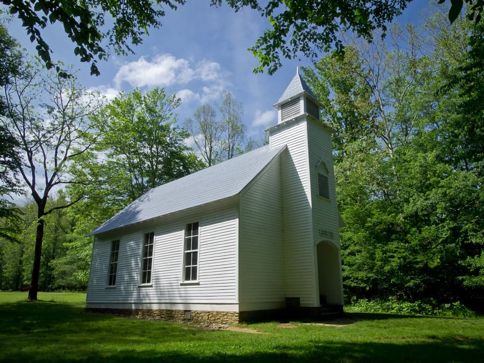 Sight · 4.4 mi awayPalmer ChapelA small valley church with a big role in Cataloochee's story.
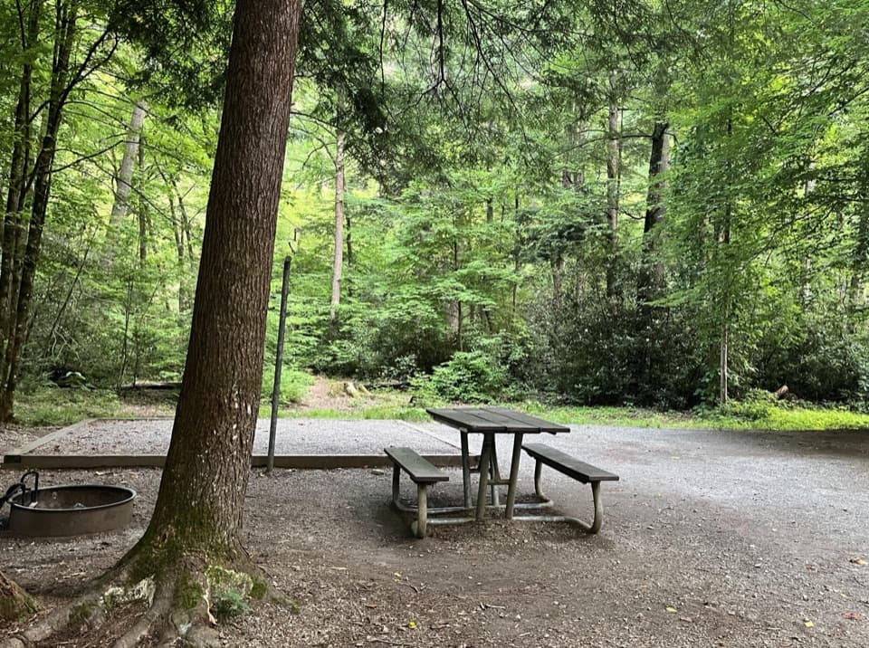 Campground · 5.7 mi awayCataloochee CampgroundCamp in a remote valley of old homesteads and elk country.
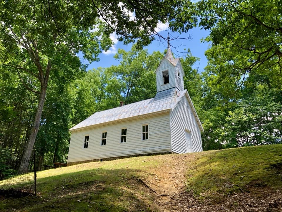 Sight · 6.1 mi awayLittle Cataloochee Baptist ChurchAn 1889 chapel with its original 400-pound bell rewards the hike
Parkwolf’s Great Smoky Mountains ranking

The audio tour guide for the drive, plus offline maps, trails, and wildlife heatmaps for when the signal drops.





