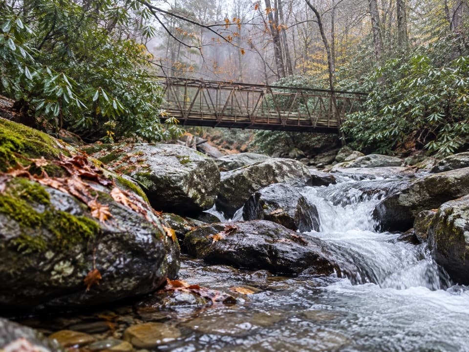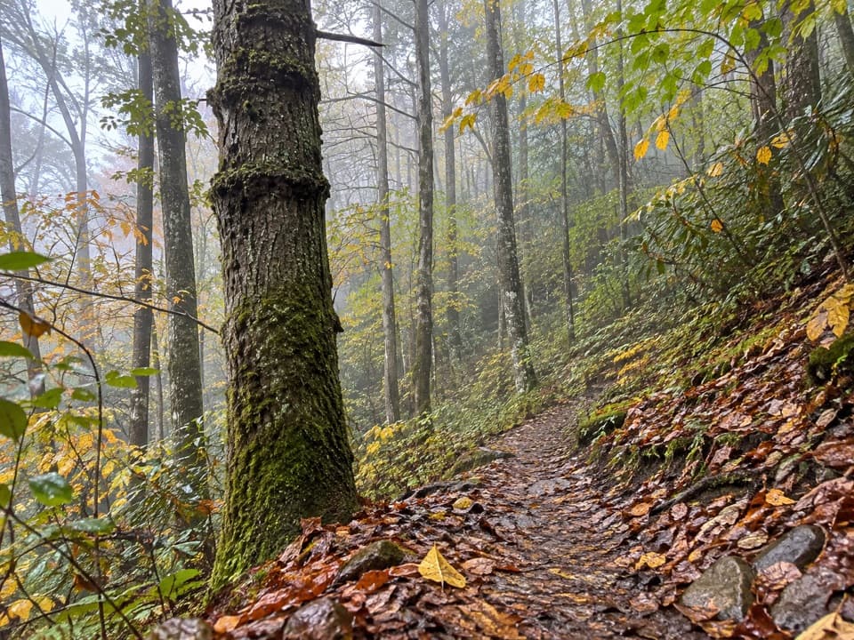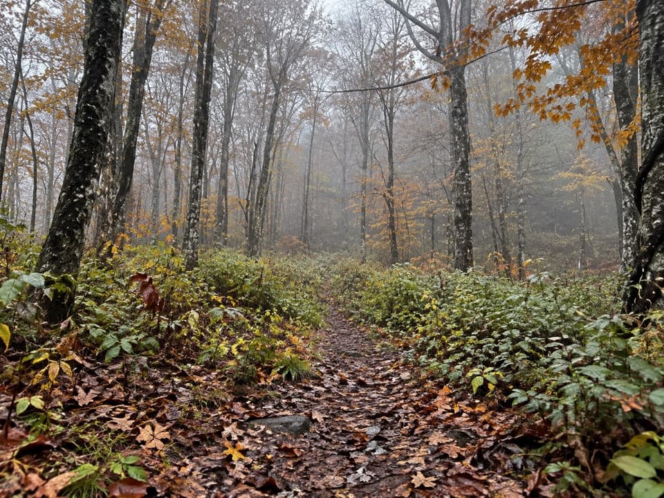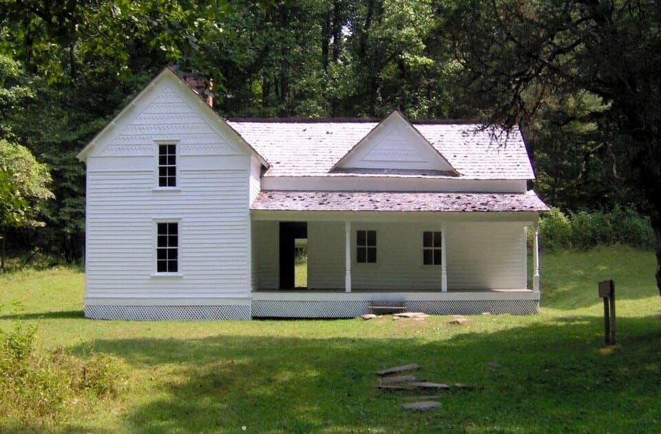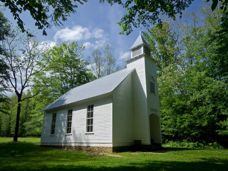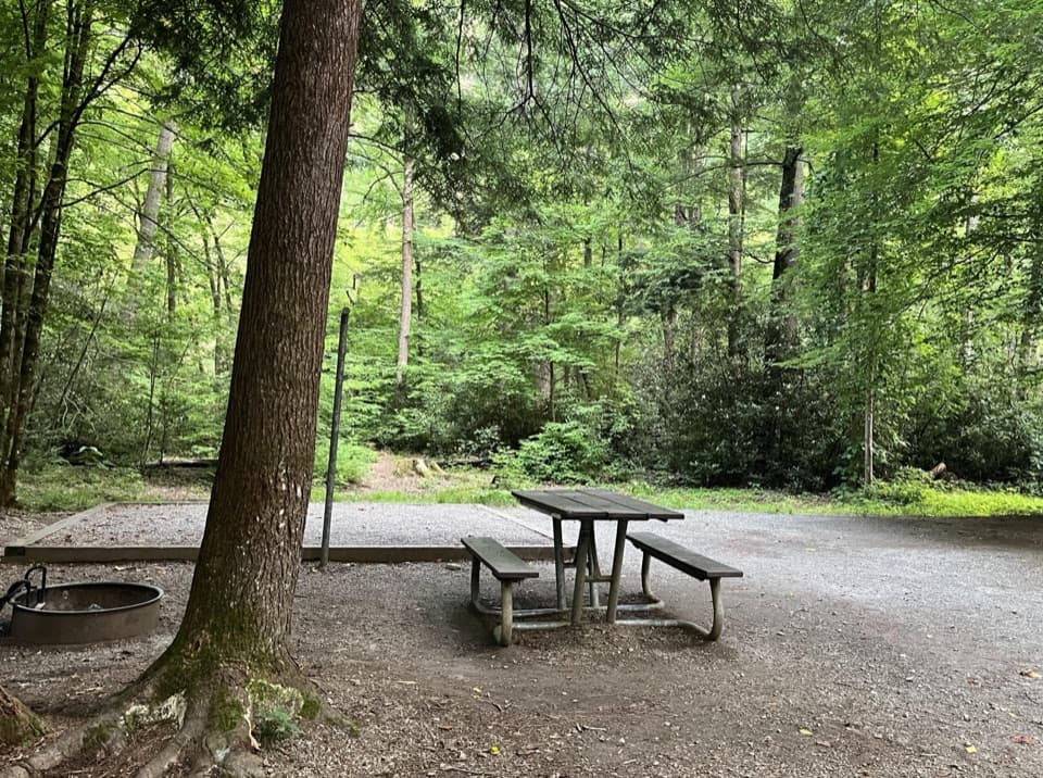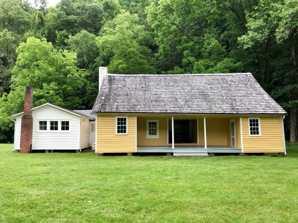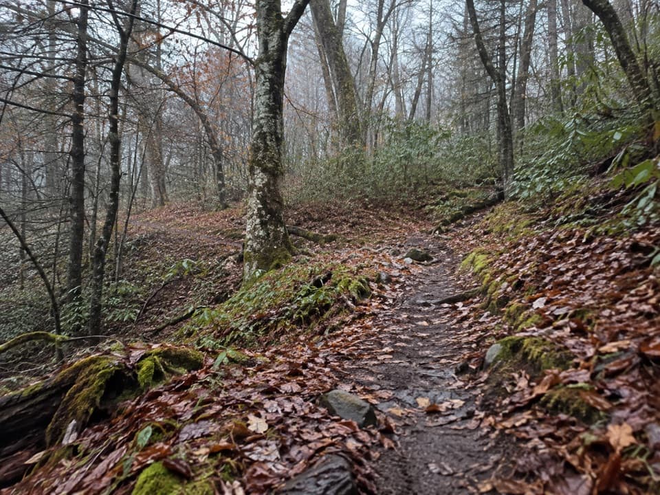
Balsam Mountain Nature Trail in Great Smoky Mountains National Park

Great Smoky Mountains National Park, TN · NC

Balsam Mountain Nature Trail

A short nature walk through high-elevation campground woods.

Length
1.3mi
Time
45min
Elev. change
144ft
Difficulty
Easy
  • No dogs
  • High point 5,371 ft
  • #98 of 197 in Great Smoky Mountains

Hear the audio tour

Balsam Mountain Campground and Nature Trail

Overview

About Balsam Mountain Nature Trail

Why go

  • A brief out-and-back on a natural-surface woods path
  • Easy to fit into a campground visit

Heads up

  • No named overlook or waterfall is marked
  • Campground access is seasonal

Map & elevation

The route

Loading the Great Smoky Mountains map
Full map
Elevation5,226–5,371 ft
TrailheadBalsam Mountain Campground Interpretive Trailhead, Site 4335.56707, -83.17525
Keep this map with you offline in the Parkwolf app

Plan your hike

Before you go

Parking

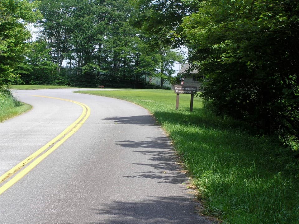
Enter Balsam Mountain Campground from Heintooga Ridge Road and use designated spaces. The campground map marks parking up the loop, not at the nature-trail start beside site 43; walk there on the campground road. The campground is typically closed October 12 through May 15.

7 active Great Smoky Mountains alerts

  • ClosureHurricane Helene backcountry trail closures and hazardsHurricane Helene damage has closed backcountry trails and left hazardous crossings; avoid closed routes and heed trail-specific restrictions.Official details
  • CautionBear-related trail, road, shelter, and campsite restrictionsBear activity has closed trails, a shelter, and campsites and restricted pedestrian access on Cherokee Orchard Road; follow the vehicle restrictions and avoid closed areas.Official details
See all 7 alerts
A park ranger sits on a dash-mounted phone, talking, as Parkwolf’s Tour Guide plays “Army Cutworm Moths: A Grizzly Bear Buffet” on Grand Loop Road below Dunraven Pass in Yellowstone
Parkwolf Tour GuideThe highest, rockiest slopes around here are a summer buffet for grizzly bears.

Great Smoky Mountains Tour Guide

Your drive to Balsam Mountain Nature Trail, narrated.

Parkwolf is a GPS audio tour guide for Great Smoky Mountains National Park. As you drive, it chimes in with what’s ahead: hidden gems, upcoming stops, history, geology, and wildlife, right through your car’s speakers.

See the Great Smoky Mountains audio tour

Recorded for this trailhead

Balsam Mountain Campground and Nature Trail
0:00 / 0:31
“Balsam Mountain Campground is coming up, a seasonal base for cooler summer camping in a remote corner of the mountains.”

Plays as you drive up to this trailhead in the Parkwolf Great Smoky Mountains Tour Guide.

More stories near here in the app

  • The Caterpillar's False Eyes
  • Heintooga Picnic Area and Overlook
  • Polls Gap and Hemphill Bald
  • Flat Creek Trailhead
  • 188 audio storiesacross Great Smoky Mountains’s roads, triggered by GPS as you drive
  • Wildlife heatmapsfor Black Bear, Elk, Bald Eagle, and 13 more
  • Works offlinemaps, 197 trails, 100 places, and audio download before you lose signal
  • CarPlay readysimple controls built for the drive
★★★★★
“Fantastic app with many points of information… It’s great to just turn on while you’re driving and it gives you an audio tour of the national Park. We love it!!!!”
JMJamesApp Store review
Download Parkwolf on the App StoreGet Parkwolf on Google Play

4.7 from 8,600+ ratings

Trail guide

Hiking Balsam Mountain Nature Trail

A short woods walkBalsam Mountain Nature Trail is a natural-surface interpretive path through the woods at Balsam…

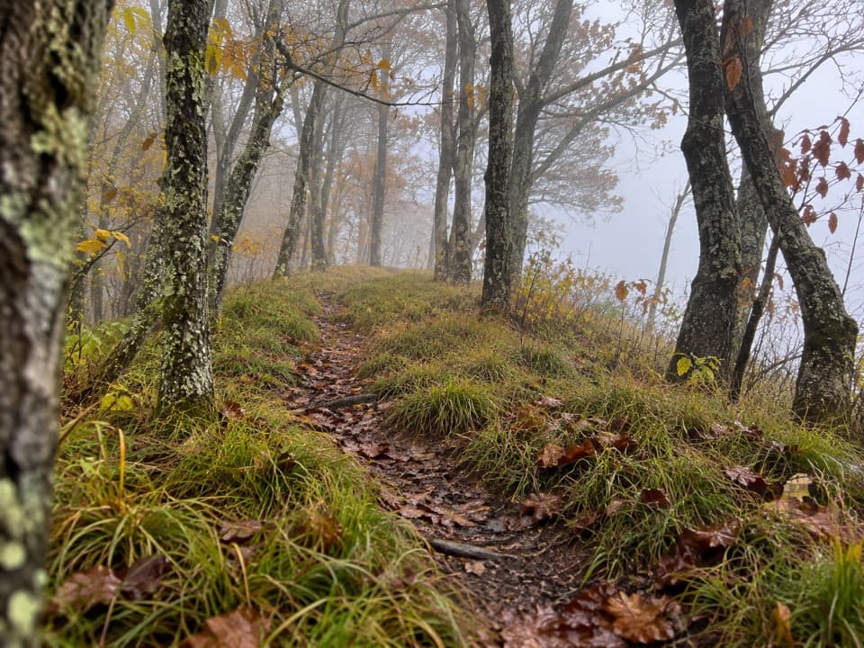
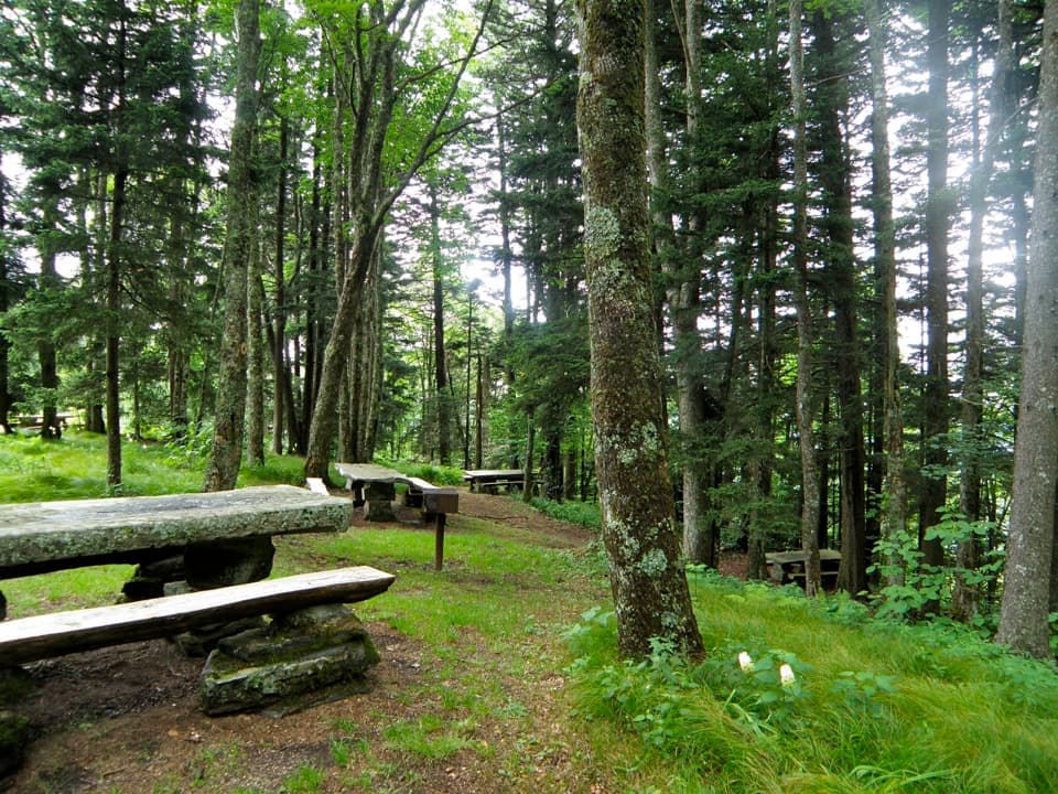
Balsam Mountain Nature Trail is a natural-surface interpretive path through the woods at Balsam Mountain Campground. The campground map places the signed start beside campsite 43. The mapped corridor runs about 0.66 mile one way; retracing it makes a roughly 1.3-mile out-and-back. The map labels an interpretive trail but names no overlook or waterfall, so choose this for a brief nature walk rather than a viewpoint destination.

How to walk itAllow about 30 to 60 minutes. The 1.

Allow about 30 to 60 minutes. The 1.3-mile total is an estimate based on walking the mapped corridor out and back; no separate loop or precise turnaround landmark is described. Stay on the same path and retrace it to the campground. The trail is listed as a natural surface, and the mapped line shows modest elevation variation rather than a long climb.

Access and rulesStart beside site 43 inside Balsam Mountain Campground.

Start beside site 43 inside Balsam Mountain Campground. The campground map marks parking farther up the loop road, not at the trail itself, so use designated spaces and walk to the trail marker. Access is seasonal: the campground is typically closed October 12 through May 15. Dogs are not allowed on this trail; leashed pets are permitted only on park roads and the Gatlinburg and Oconaluftee River trails.

Wildlife

Wildlife in Great Smoky Mountains

All Great Smoky Mountains wildlife maps

Sighting maps show where each species has been reported across Great Smoky Mountains. Wildlife moves, so no sighting is guaranteed.

Keep exploring

Near Balsam Mountain Nature Trail

See it all on the map

Trails that start nearby

Places near the trailhead

Parkwolf’s Great Smoky Mountains ranking

Top-rated trails in Great Smoky Mountains

All 197 trails
  1. 1Mount Le Conte via Alum Cave TrailChallenging · 10 mi
  2. 2Charlies Bunion via Appalachian TrailModerate · 8 mi
  3. 3Alum Cave Trail to Alum Cave BluffsModerate · 4.6 mi
  4. 4Ramsey Cascades TrailChallenging · 8 mi
  5. 5Mount Cammerer TrailChallenging · 11.1 mi
  6. 6Gregory Ridge TrailChallenging · 11.4 mi

Take Parkwolf to Great Smoky Mountains.

The audio tour guide for the drive, plus offline maps, trails, and wildlife heatmaps for when the signal drops.

4.7 from 8,600+ ratings

Download Parkwolf on the App StoreGet Parkwolf on Google Play