
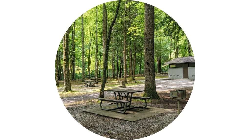
Place · 1.7 mi away
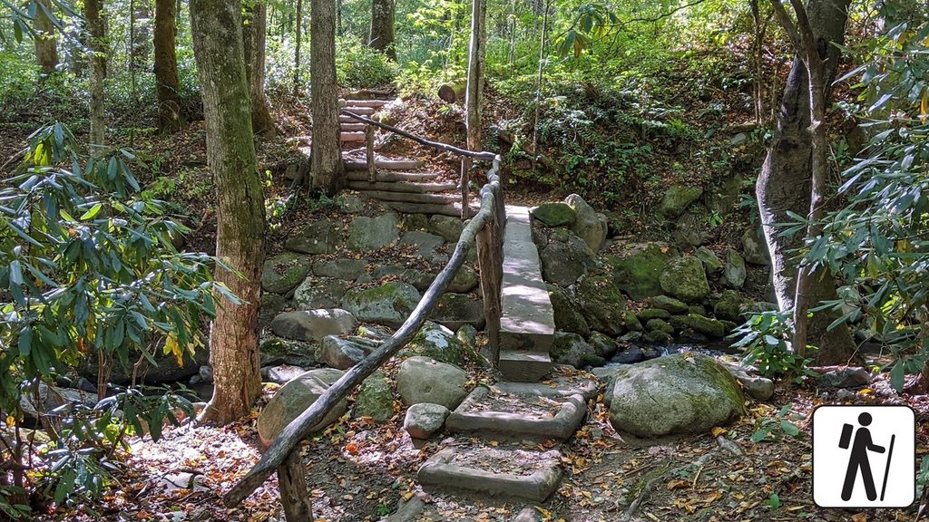
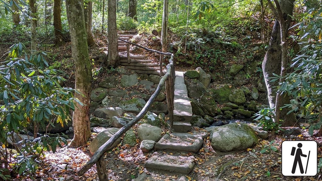
A short, rewarding detour on the Kephart Prong Trail leads to the remnants of a 1930s Civilian Conservation Corps camp—stonework tucked into a lush creek valley where the sound of water carries you up the trail. It’s one of the park’s most tangible peeks into the CCC story, without committing to a long hike.
The camp operated from 1933–1942. Crews based here built and maintained trails and parking areas, constructed a water system for Newfound Gap, and helped with Newfound Gap Road—work that still shapes how we experience the park today. During World War II, conscientious objectors reportedly lived and worked at the site, continuing maintenance and reforestation. The nearby WPA hatchery added another New Deal layer, supplying fish to area streams.
From the roadside pullout on Newfound Gap Road, cross the river on the footbridge and head 0.2 miles to the camp remains. The grade is steady but manageable; expect rocky tread and roots. The five log bridges feel secure but can be slick when wet or icy—sturdy footwear helps. Continue 2.1 miles total to reach Kephart Shelter if you want a longer out-and-back.
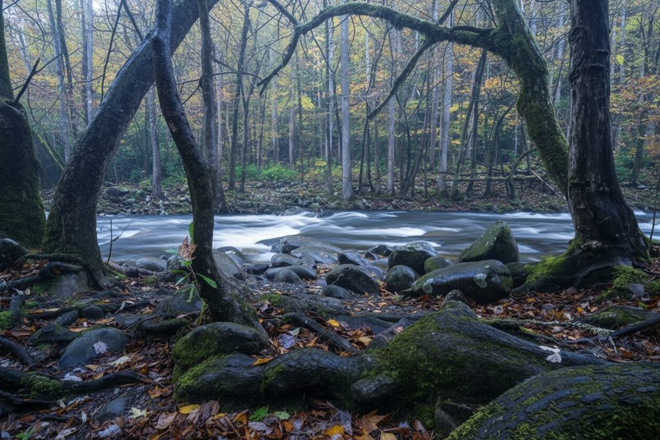
Kephart Prong chatters alongside the trail, forming occasional quiet bends where you can slow down and look for aquatic life. Forest layers include rosebay rhododendron, witch-hazel, strawberry bush, and a mix of maples and deciduous magnolias.
Aim for early morning on weekdays for an easier parking experience and a quieter walk. Avoid heavy rain and freeze–thaw periods if you’re uneasy on slick logs. After summer storms, expect mosquitoes and wet, mossy surfaces. Soft morning or late-day light plays nicely through the forest and along the creek.
Place · 1.7 mi away
Place · 2.7 mi away

Place · 3.1 mi away
Place · 3.2 mi away
Moderate · 0 mi away
Challenging · 0 mi away
Challenging · 0.3 mi away
Moderate · 2.3 mi away

Parkwolf Tour Guide
