Pros & cons
PROS
- Reliable solitude on a ridgeline that starts right off busy Newfound Gap Road
- Standout seasonal flora, from spring ephemerals to mid-summer lilies
CONS
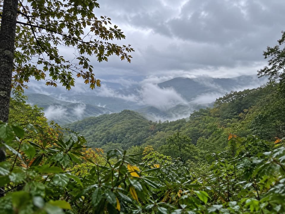
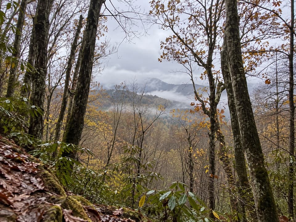
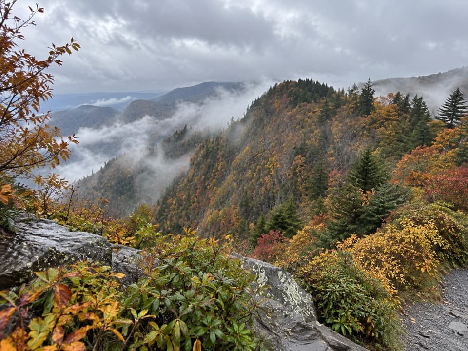
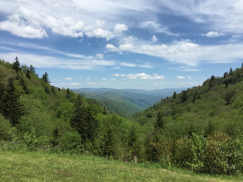
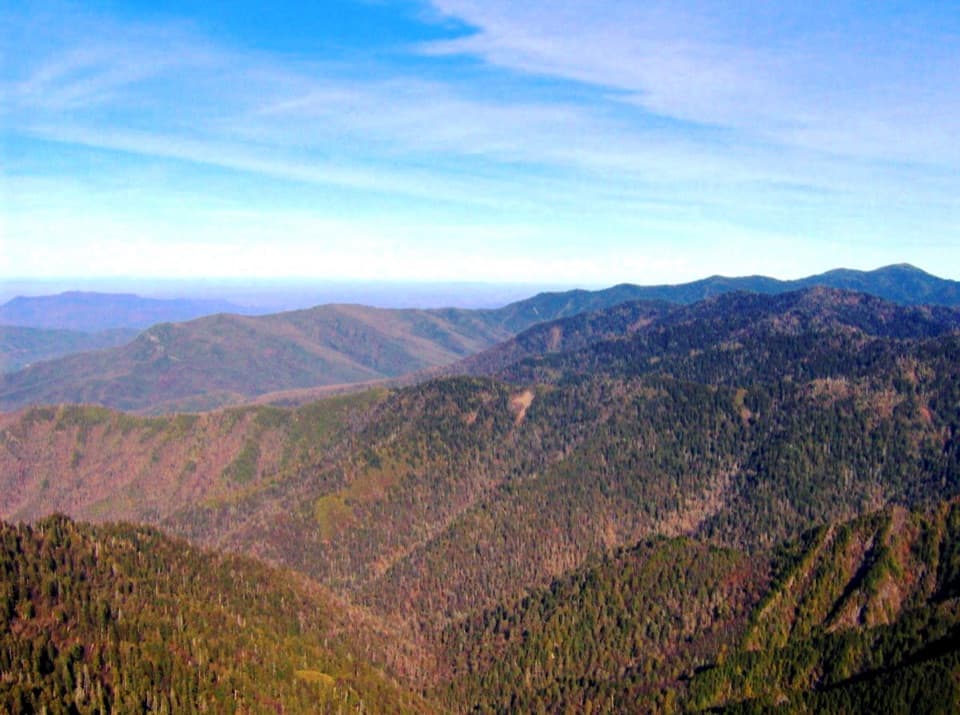
- Limited views most of the year due to dense forest
- No reliable water on the ridge
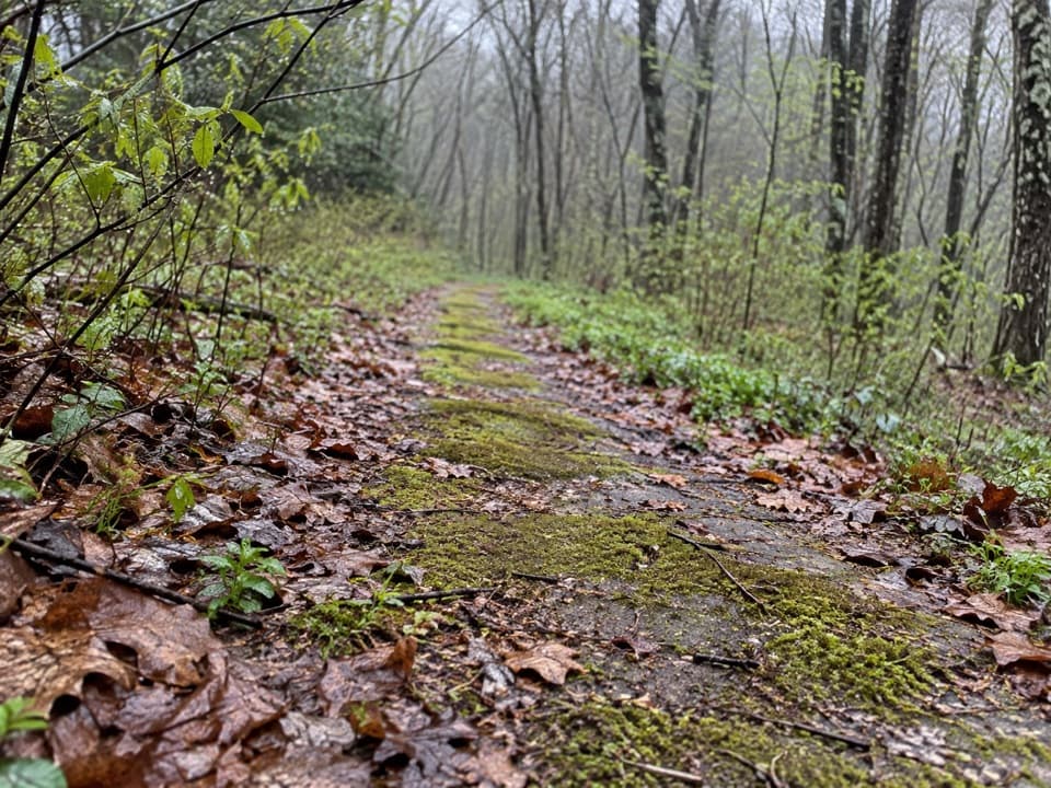
- Sections of canted, eroded tread near Nettle Creek Bald
Small, long pullout on Newfound Gap Road about 10 miles from Oconaluftee Visitor Center, in a right-hand hairpin; limited spaces and a park parking tag is required for longer stays.
No water on the ridge; carry all you need. Watch eroded, sloped tread near Nettle Creek Bald and along the narrow ridge toward Tuskee Gap. After storms, expect blowdowns; snow/ice can cause postholing. Dogs are not allowed. Shuttle needed for point-to-point itineraries.
Overview
Thomas Divide is a long, mostly forested ridgeline walk (~14 miles total end to end) that trades grand vistas for solitude and standout flora. Most day hikers sample a section rather than commit to the full length. A popular choice is the out-and-back to the Sunkota Ridge junction, about 9.3 miles total with roughly 1,500+ feet of rolling gain. Another classic is a point-to-point to Deep Creek using Newton Bald and Mingus Creek (about 11 miles) if you arrange a shuttle.
What the hike feels like
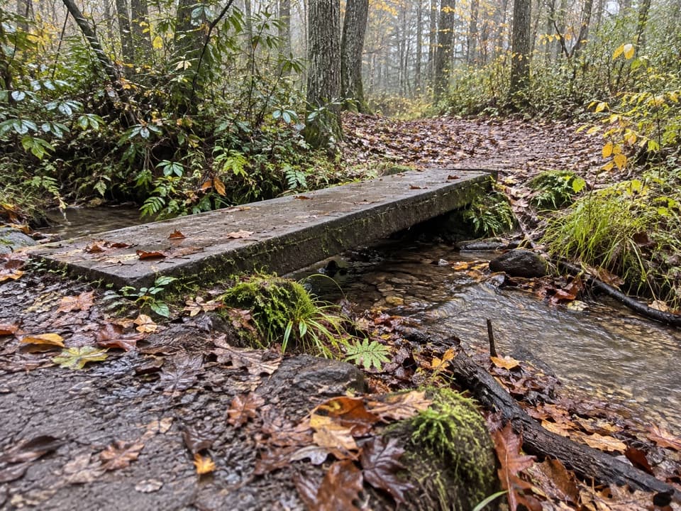
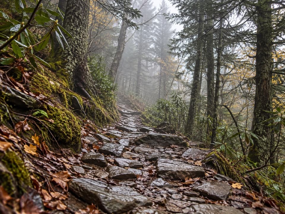
From the Newfound Gap Road trailhead, the tread starts a bit rocky/rooty, then settles into steady, moderate grades. At 1.8 miles you reach Kanati Fork—note that trail drops very steeply to the highway, so most stay on the ridge. Around 2.5 miles is Nettle Creek Bald, the high point, where the trail has some canted, eroded sections—watch your footing. Beyond, the ridge narrows toward Tuskee Gap with rhododendron and laurel thickening the greenery, before continuing to the low-key Sunkota Ridge junction at about 4.6 miles. Expect occasional blowdowns after storms and, following wet weather, some wet step-across spots on variants that include side trails.
Flora, fauna, and what to notice
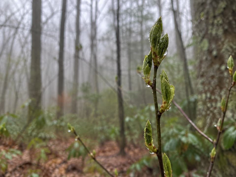
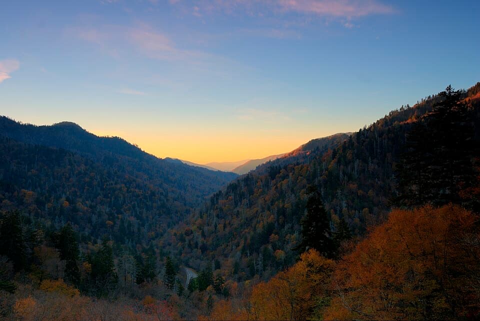
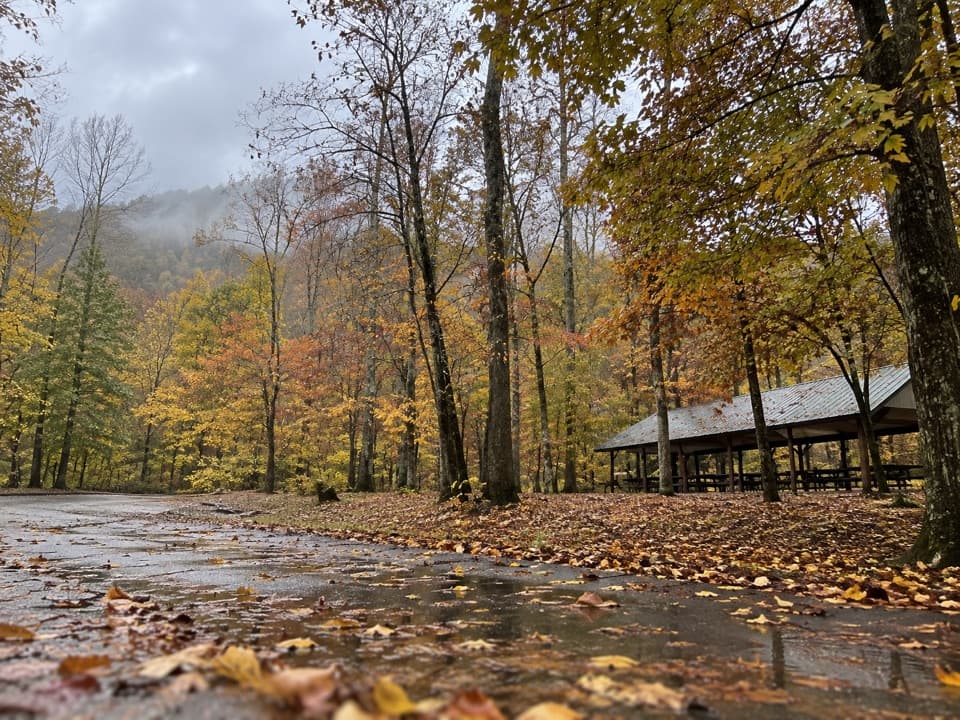
Botanically, this one shines: hemlock, beech, birch, and multiple maples dominate; at higher stretches you may brush into spruce/fir. Keep an eye out for remnant American chestnut logs. Spring brings ephemerals like spring beauties and fire pink; mid-summer can pop with Turk’s cap lilies and interesting fungi. You’ll likely see signs of non-native wild boar in the form of churned soil, and deer are around even if you only notice their tracks in snow.
Logistics and rules
There are no reliable water sources along the ridge—carry everything you’ll need. Dogs aren’t allowed on this trail (day hiking is permit-free; backcountry camping requires a reservation/permit). Parking is a long, narrow pullout in a right-hand hairpin on Newfound Gap Road, roughly 10 miles from the Oconaluftee Visitor Center; spots are limited, and a park-wide parking tag is required if you’ll be there more than a brief stop. Historically, segments can close after major events—check current conditions before you go. A good paper map makes the junctions and shuttle options simpler.
Best time to hike
Spring for wildflowers and comfortable temps; fall for color. Winter and early spring offer the best leaf-off glimpses through the trees, but snow/ice can slow you down and cause postholing. Summer brings lush growth—and occasional overgrowth near Nettle Creek Bald—so long pants are smart. Weekdays or early starts keep the ridge extra quiet and help with limited parking.
Is it for you?
If you love quiet ridge walking and botany-forward hiking, this is underrated and rewarding. If you’re chasing big Smokies panoramas and waterfalls, this isn’t the star—its charm is the steady, meditative forest and the feel of a spine trail that ties the park’s interior together.
Elevation
9.3 mi · 5.5 hrWhere it starts
35.5858, -83.3989Wildlife on this trail
Near Thomas Divide Trail
All places →All trails →
2 mi awayKanati Fork TrailRelentless climb, stellar spring wildflowers, and quiet cove forestChallenging · 6 mi · 5 hr
2.3 mi awayNewfound GapIconic state line overlook with big views and easy AT accessParking · Restroom
2.3 mi awayRockefeller MemorialHistoric terrace with big views right on the state lineParking · Restroom
2.3 mi awayCharlies Bunion (Appalachian Trail)Bite-size AT ridge walk to a dramatic, cliffy rock perchModerate · 8 mi · 4.3 hr
2.3 mi awayThe Jump Off TrailAiry cliff overlook off the AT with big views and fewer crowdsModerate · 6.4 mi · 4 hr
2.3 mi awayDry Sluice Gap TrailSteep, scenic drop from the AT into lush Bradley Fork covesChallenging · 4.2 mi · 3.2 hr
2.3 mi awayKephart Prong CCC CampShort walk to evocative CCC camp ruins beside a rushing creek
2.3 mi awayNorth Carolina–Tennessee State Line SignQuick border photo stop with big views at Newfound GapParking · Scenic Viewpoint