Parking
Use the roadside pullout on the left when driving south on Newfound Gap Road from Sugarlands; the trail entrance is across the road and the pullout is easy to miss. A parking tag is required for stays longer than 15 minutes.
Great Smoky Mountains National Park, TN · NC
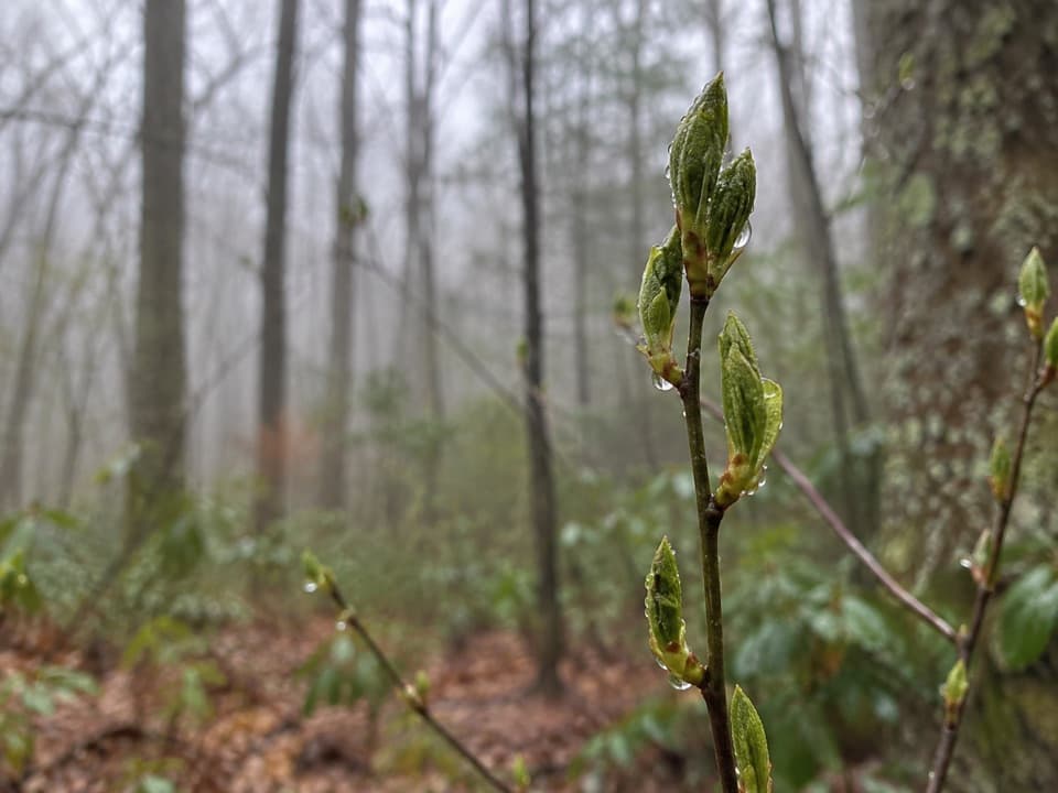
A steep climb earns a standout spring wildflower show.
Overview
Map & elevation
Plan your hike

The highest, rockiest slopes around here are a summer buffet for grizzly bears.
Great Smoky Mountains Tour Guide
Parkwolf is a GPS audio tour guide for Great Smoky Mountains National Park. As you drive, it chimes in with what’s ahead: hidden gems, upcoming stops, history, geology, and wildlife, right through your car’s speakers.
See the Great Smoky Mountains audio tourRecorded for this trailhead
Kanati Fork Trailhead and Quiet Walkway“Kanati Fork trailhead is ahead, a stop to consider for spring wildflowers, especially in April. Trilliums and trout lilies grow along the lower miles, so you can turn back before committing to the full climb.”
Plays as you drive up to this trailhead in the Parkwolf Great Smoky Mountains Tour Guide.
More stories near here in the app
“Fantastic app with many points of information… It’s great to just turn on while you’re driving and it gives you an audio tour of the national Park. We love it!!!!”


Trail guide
Kanati Fork Trail is a 5.76-mile out-and-back on a natural-surface path from Newfound Gap Road to the Thomas Divide Trail junction and back. The climb gains about 2,100 feet; allow roughly 4 to 5 hours. This is a wooded climb with a spring wildflower payoff, not a hike to a summit overlook. A 4-mile figure describes turning around at about 2 miles, before the ridge junction. Continue to Thomas Divide for the full mapped route, or use that shorter turnaround if the lower wildflower section is enough for your day.
The roadside pullout is on the left when driving south from Sugarlands; the trail entrance is across the road and the pullout is easy to miss. The park requires a parking tag for vehicles parked longer than 15 minutes. Dogs are not allowed on this trail; the park permits leashed pets only on the Gatlinburg and Oconaluftee River trails.
The first half-mile stays above Kanati Fork Creek. Leaf-off woods make the water easier to see in winter, while summer foliage screens it. The trail climbs through rhododendron and cove hardwood forest, crossing several small tributaries. Farther up, it rises above a ravine, traverses the creek's headwall, then makes a sharp switchback onto Thomas Ridge. The route ends at the Thomas Divide junction, with few long views along the way. Expect wet shoes and slick footing at creek crossings after rain.
The first couple of miles hold the main flower display. Early blooms can start in March, April is often the strongest month, and different species continue into summer. Trilliums, violets, Dutchman's breeches, trout lily and false Solomon's-seal are among the flowers reported along the trail. Tulip poplar, hemlock, yellow birch, magnolia, maple and basswood shape the canopy; rhododendron, mountain laurel and doghobble grow near the stream. The deciduous woods also bring fall color, while winter opens the creek to view.
Wildlife
 1,569 sightingsBlack BearMost seen around 7 PMSighting map
 900 sightingsElkMost seen around 7 AMSighting map
 13 sightingsBald EagleMost seen around 9 AMSighting map
 142 sightingsTimber RattlesnakeMost seen around 6 PMSighting map
 26 sightingsBobcatMost seen around 8 PMSighting map
 42 sightingsRiver OtterMost seen around 7 AMSighting map
Sighting maps show where each species has been reported across Great Smoky Mountains. Wildlife moves, so no sighting is guaranteed.
Keep exploring
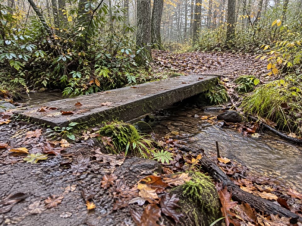 EasyKanati Fork Quiet Walkway0.4 mi · 15 min · At the trailheadA short forest walk to Beech Flats Prong.
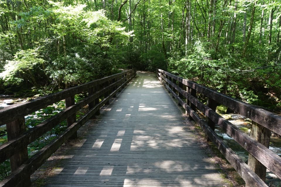 ModerateKephart Prong Trail4 mi · 2.5 hr · 0.3 mi awayFollow the stream to 1930s CCC remains and Kephart Shelter.
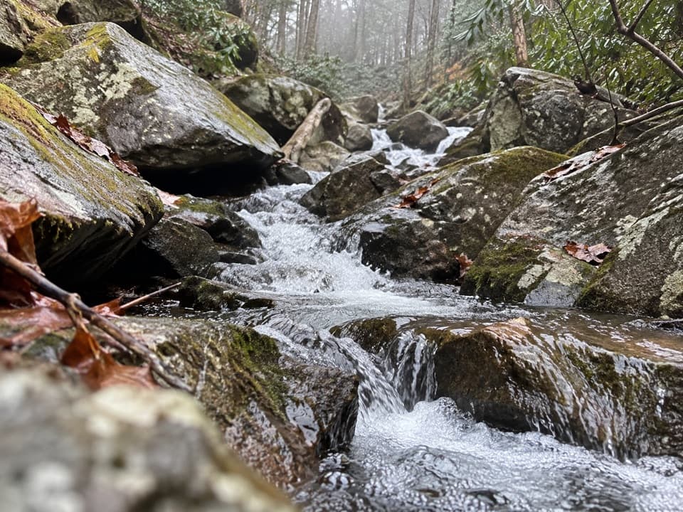 ChallengingSweat Heifer Creek Trail3.6 mi · 3.5 hr · 1.6 mi awayA steep wooded creek climb to the Appalachian Trail.
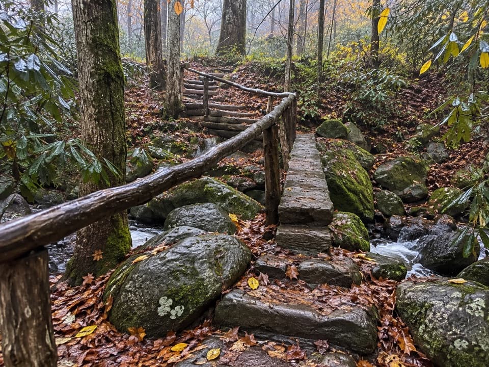 ChallengingGrassy Branch Trail2.6 mi · 3 hr · 1.6 mi awayA hard switchback climb through grassy openings to Dry Sluice Gap.
 ChallengingThomas Divide Trail13.6 mi · 8 hr · 2 mi awayA soft upper ridge gives way to a steep, 14-mile traverse.
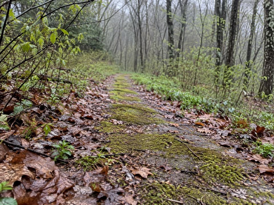 EasyBeech Flats Quiet Walkway1 mi · 45 min · 2.8 mi awayWalk a mossy old roadbed into the cool woods.
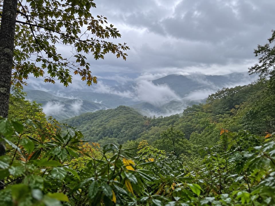 EasySwinging Bridge Quiet Walkway1 mi · 36 min · 3 mi awayA quiet ridge walk with a steady climb back to US 441.
 ChallengingDeep Creek Trail14.3 mi · 8 hr · 3.4 mi awayA long one-way descent from Newfound Gap Road to Deep Creek.
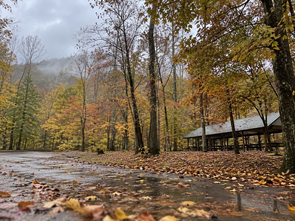 Picnic area · 2 mi awayCollins Creek Picnic AreaA shady picnic break with a short creekside walk
 Scenic pullout · 2.3 mi awayCharles A. Webb OverlookA quick pull-off for layered ridges and a glimpse of Kuwohi.
 Scenic pullout · 2.8 mi awaySwinging Bridges South OverlookLayered ridgelines from a short roadside pull-off.
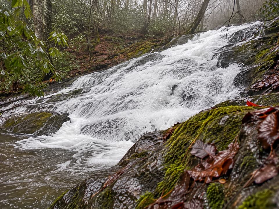 Sight · 3 mi awayChasteen Creek CascadeA 15-foot, quartz-streaked cascade beyond a wooded creek walk.
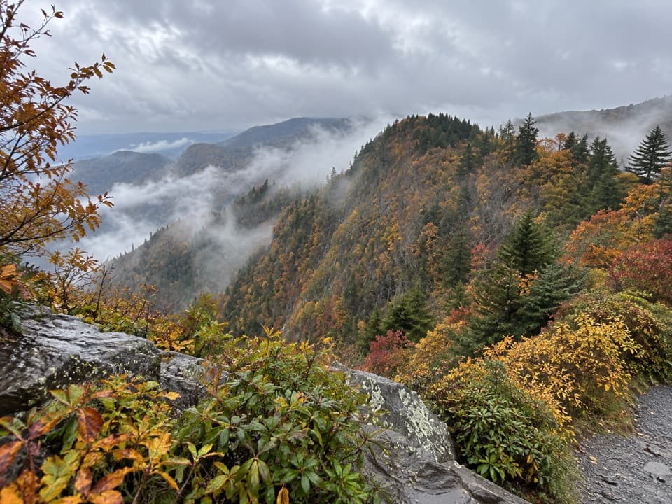 Scenic pullout · 3.3 mi awayDeep Creek Valley OverlookA roadside viewpoint over Deep Creek Valley
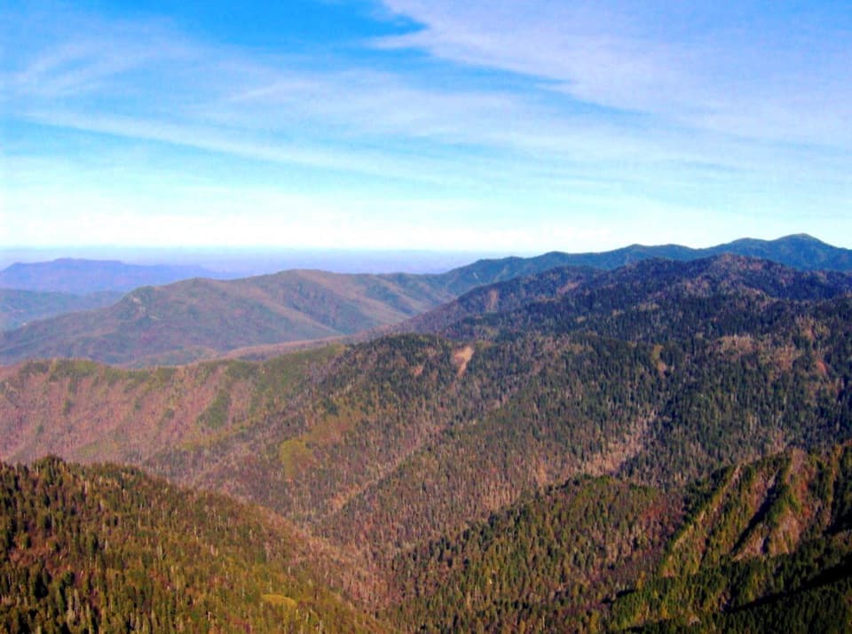 Sight · 3.5 mi awayThe JumpoffA rugged ridge walk ends at a cliff-edge panorama.
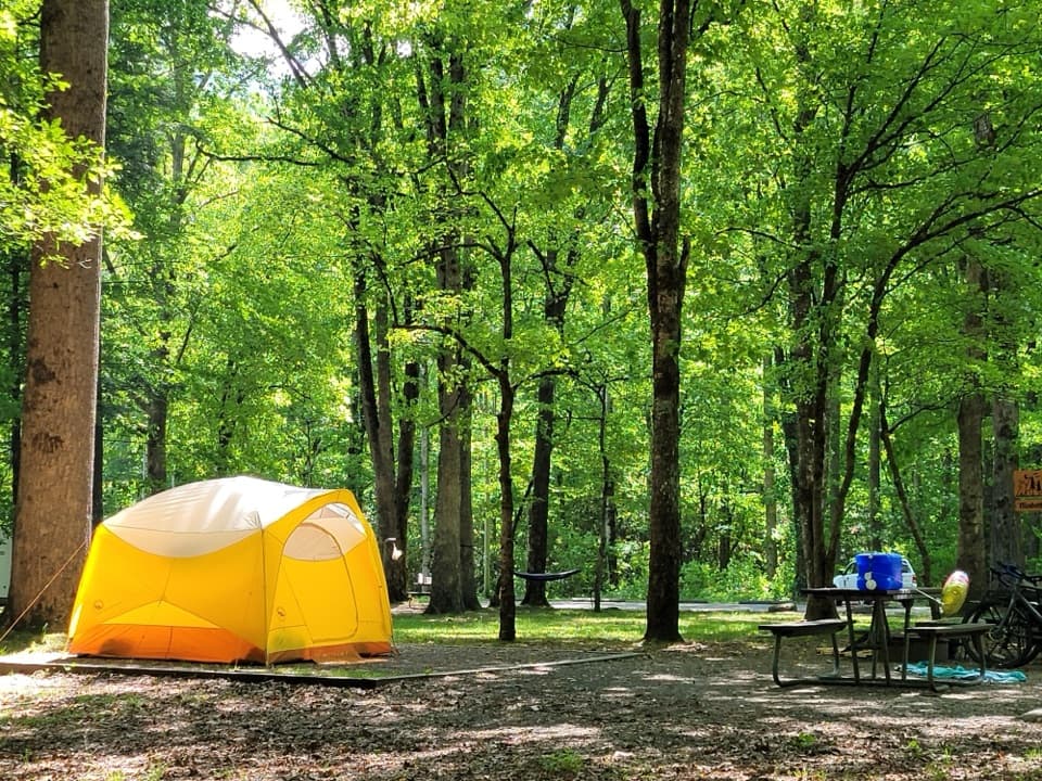 Campground · 3.5 mi awaySmokemont CampgroundA wooded Smokies campground on the site of a logging town.
 Sight · 3.6 mi awayCharlies BunionEight miles through forest to a raw, rocky mountain perch.
Parkwolf’s Great Smoky Mountains ranking

The audio tour guide for the drive, plus offline maps, trails, and wildlife heatmaps for when the signal drops.




