Parking
Use the Kephart Prong Trailhead pull-offs on both sides of Newfound Gap Road (US 441). Follow Kephart Prong Trail about 2 miles to Kephart Shelter, where Sweat Heifer begins.
Great Smoky Mountains National Park, TN · NC
A steep wooded creek climb to the Appalachian Trail.
Overview
Map & elevation
Plan your hike

The highest, rockiest slopes around here are a summer buffet for grizzly bears.
Great Smoky Mountains Tour Guide
Parkwolf is a GPS audio tour guide for Great Smoky Mountains National Park. As you drive, it chimes in with what’s ahead: hidden gems, upcoming stops, history, geology, and wildlife, right through your car’s speakers.
See the Great Smoky Mountains audio tourRecorded for this area
Kanati Fork Trailhead and Quiet Walkway“Kanati Fork trailhead is ahead, a stop to consider for spring wildflowers, especially in April. Trilliums and trout lilies grow along the lower miles, so you can turn back before committing to the full climb.”
Plays on the road 1.6 mi from the trailhead in the Parkwolf Great Smoky Mountains Tour Guide.
More stories near here in the app
“Fantastic app with many points of information… It’s great to just turn on while you’re driving and it gives you an audio tour of the national Park. We love it!!!!”


Trail guide
Sweat Heifer Creek Trail is a 3.6-mile, one-way point-to-point route from Kephart Shelter to its Appalachian Trail junction. Expect a steep climb of roughly 2,200 feet; allow about 3–4 hours for this segment. From the road, add about 2 miles each way on Kephart Prong Trail to reach Kephart Shelter. Walking the whole connector out and back to the road comes to about 11.2 miles.
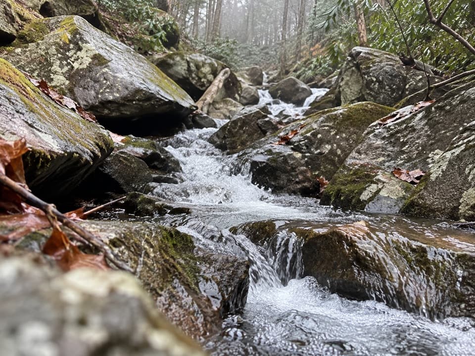
At the shelter, take Sweat Heifer left and cross Kephart Prong by bridge. Another footbridge spans a side stream before the path climbs around a ridge and into the creek drainage. Several small cascades spill across and below the trail; the lower drops are the most scenic. This is a creekside walk more than a summit hike, with native tread that is rocky in places and a steady ascent.
A 7.4-mile round trip from Kephart Prong Trailhead on US 441 turns around at Sweat Heifer Cascades, partway along the named trail. A separate 8.3-mile shuttle traverse from Newfound Gap follows the Appalachian Trail to Sweat Heifer, then continues via Kephart Prong to the US 441 trailhead. To reach the base of the lower cascades, you have to leave the maintained tread over slick rocks and rough banks; skip that scramble when footing is wet. Pets are not allowed. The creek's name is said to recall farmers driving cattle up for summer grazing.
Wildlife
 1,569 sightingsBlack BearMost seen around 7 PMSighting map
 900 sightingsElkMost seen around 7 AMSighting map
 13 sightingsBald EagleMost seen around 9 AMSighting map
 142 sightingsTimber RattlesnakeMost seen around 6 PMSighting map
 26 sightingsBobcatMost seen around 8 PMSighting map
 42 sightingsRiver OtterMost seen around 7 AMSighting map
Sighting maps show where each species has been reported across Great Smoky Mountains. Wildlife moves, so no sighting is guaranteed.
Keep exploring
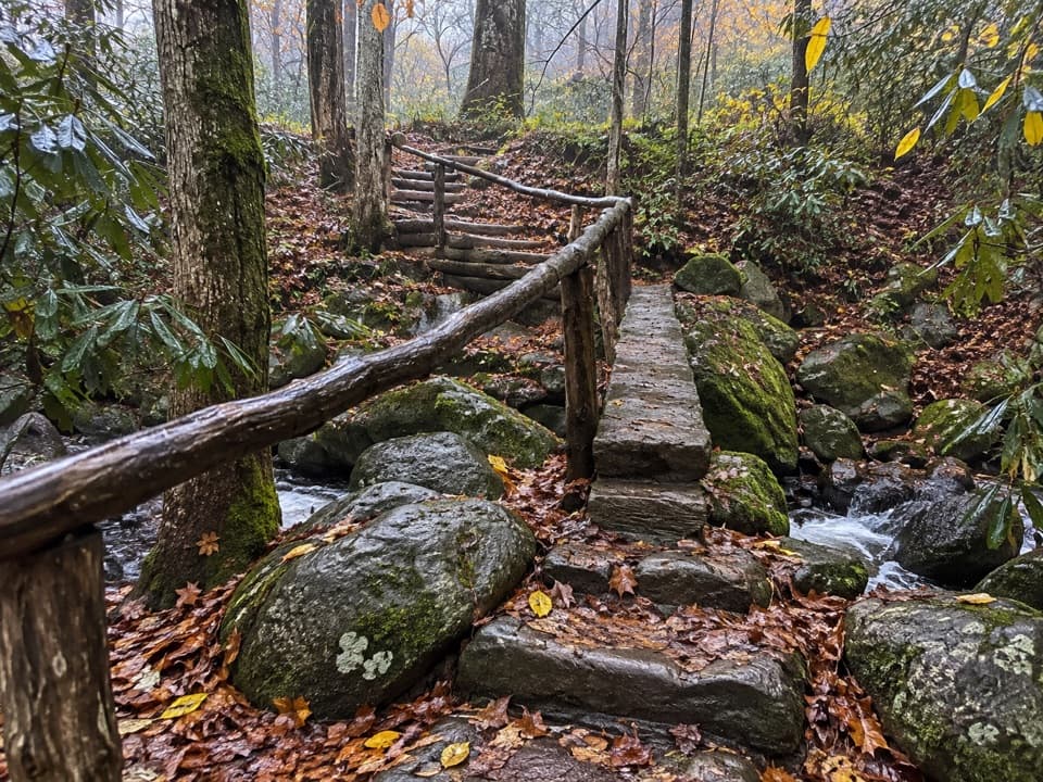 ChallengingGrassy Branch Trail2.6 mi · 3 hr · At the trailheadA hard switchback climb through grassy openings to Dry Sluice Gap.
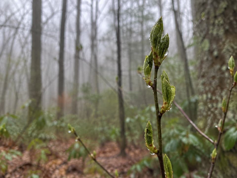 ChallengingKanati Fork Trail5.8 mi · 4.5 hr · 1.6 mi awayA steep climb earns a standout spring wildflower show.
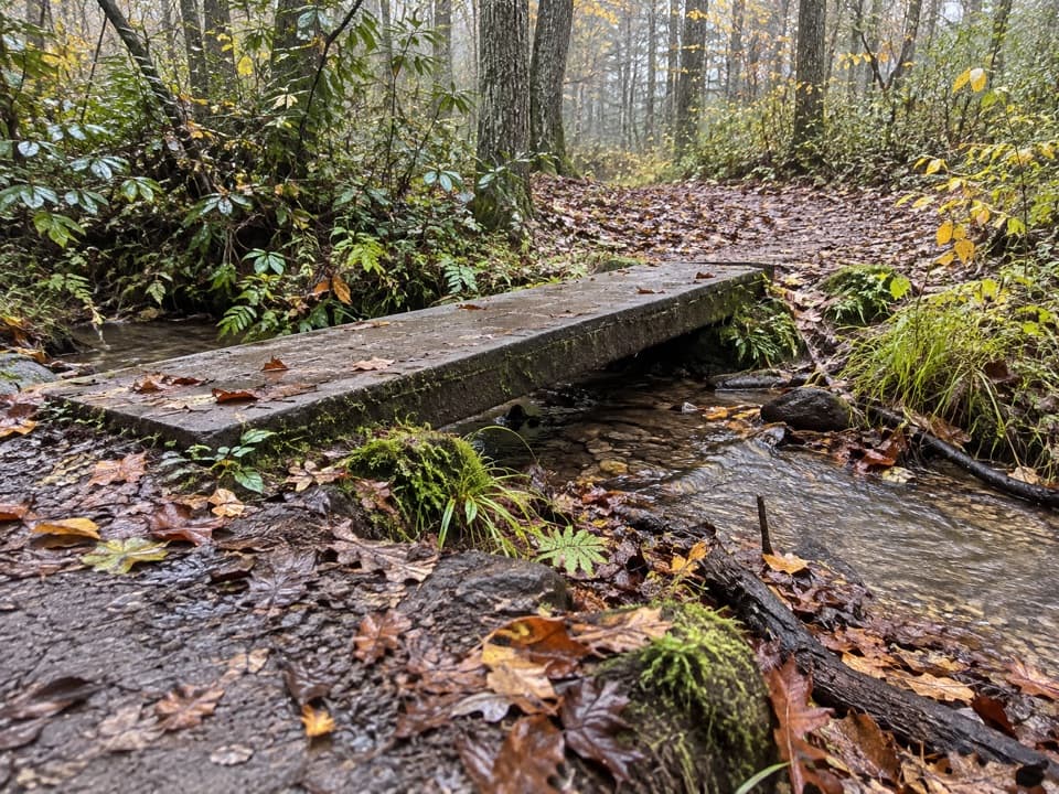 EasyKanati Fork Quiet Walkway0.4 mi · 15 min · 1.6 mi awayA short forest walk to Beech Flats Prong.
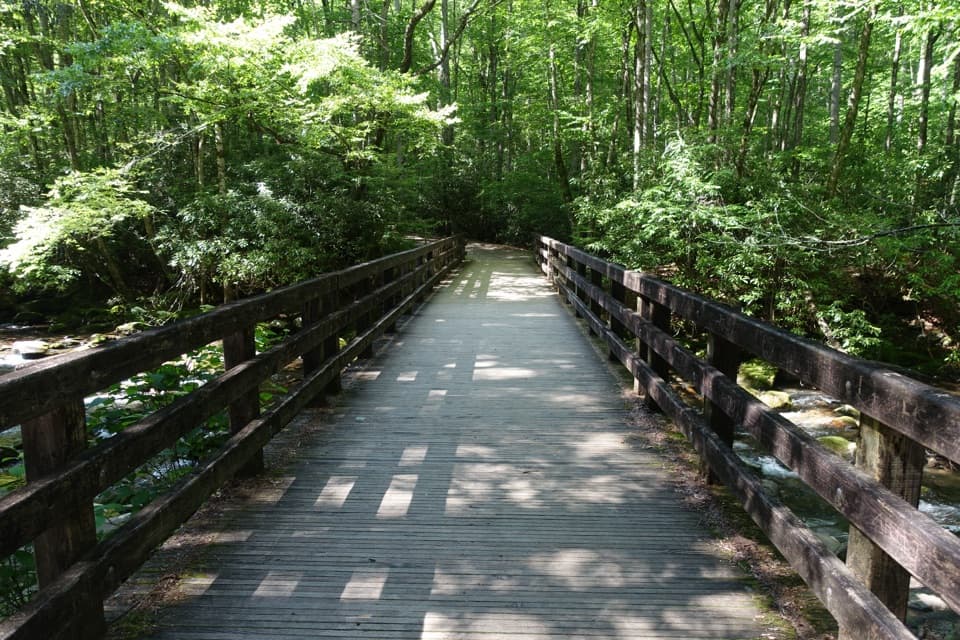 ModerateKephart Prong Trail4 mi · 2.5 hr · 1.8 mi awayFollow the stream to 1930s CCC remains and Kephart Shelter.
 ChallengingThomas Divide Trail13.6 mi · 8 hr · 2.4 mi awayA soft upper ridge gives way to a steep, 14-mile traverse.
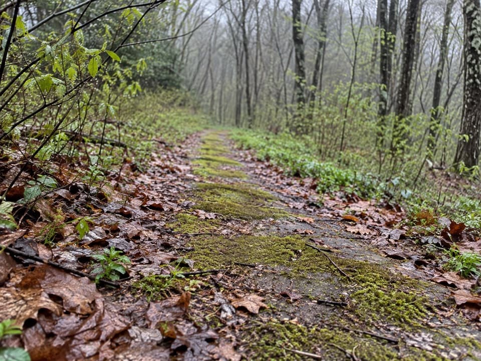 EasyBeech Flats Quiet Walkway1 mi · 45 min · 2.6 mi awayWalk a mossy old roadbed into the cool woods.
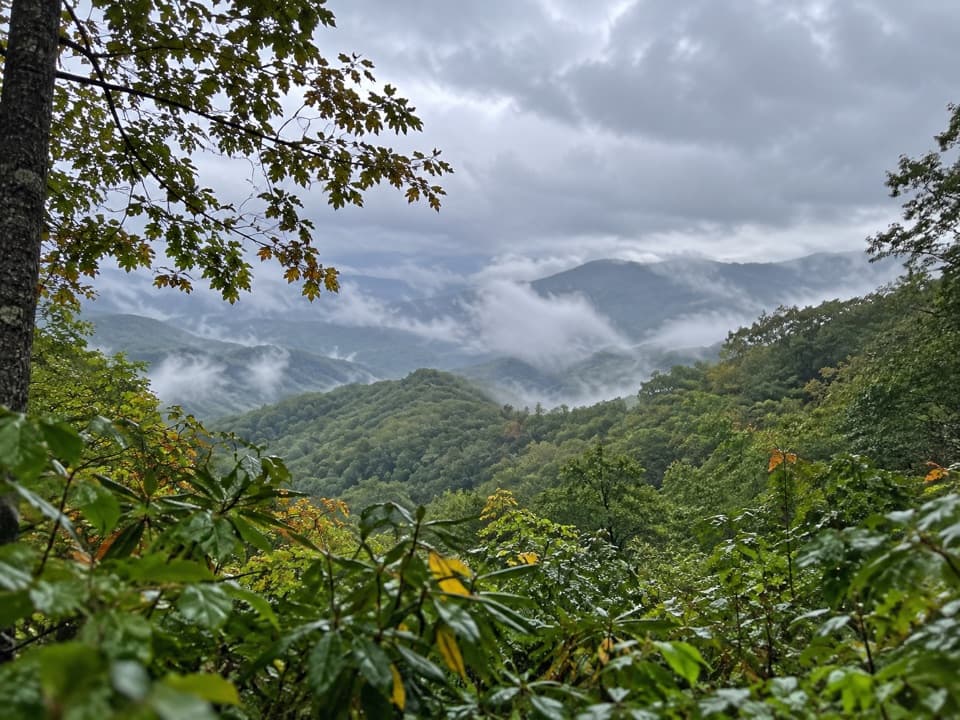 EasySwinging Bridge Quiet Walkway1 mi · 36 min · 2.9 mi awayA quiet ridge walk with a steady climb back to US 441.
 ChallengingDeep Creek Trail14.3 mi · 8 hr · 3.1 mi awayA long one-way descent from Newfound Gap Road to Deep Creek.
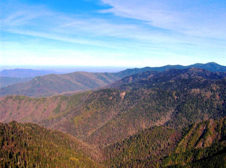 Sight · 2 mi awayThe JumpoffA rugged ridge walk ends at a cliff-edge panorama.
 Sight · 2 mi awayCharlies BunionEight miles through forest to a raw, rocky mountain perch.
 Scenic pullout · 2.6 mi awayCharles A. Webb OverlookA quick pull-off for layered ridges and a glimpse of Kuwohi.
 Scenic pullout · 2.7 mi awaySwinging Bridges South OverlookLayered ridgelines from a short roadside pull-off.
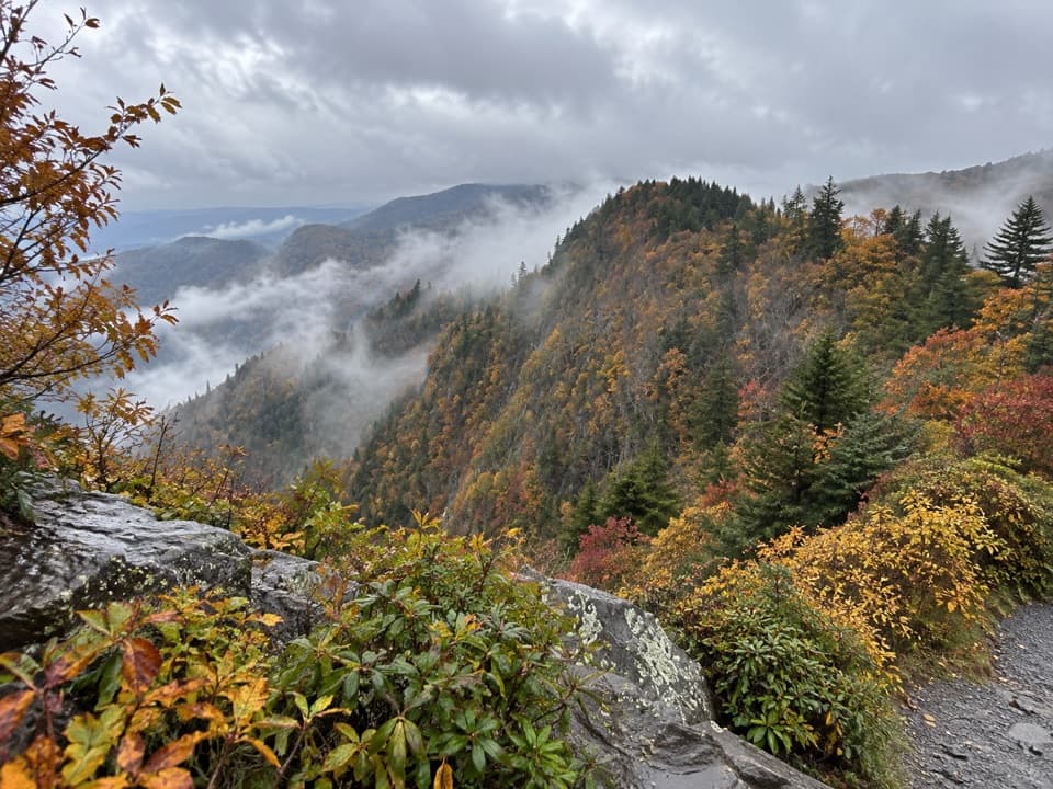 Scenic pullout · 3.1 mi awayDeep Creek Valley OverlookA roadside viewpoint over Deep Creek Valley
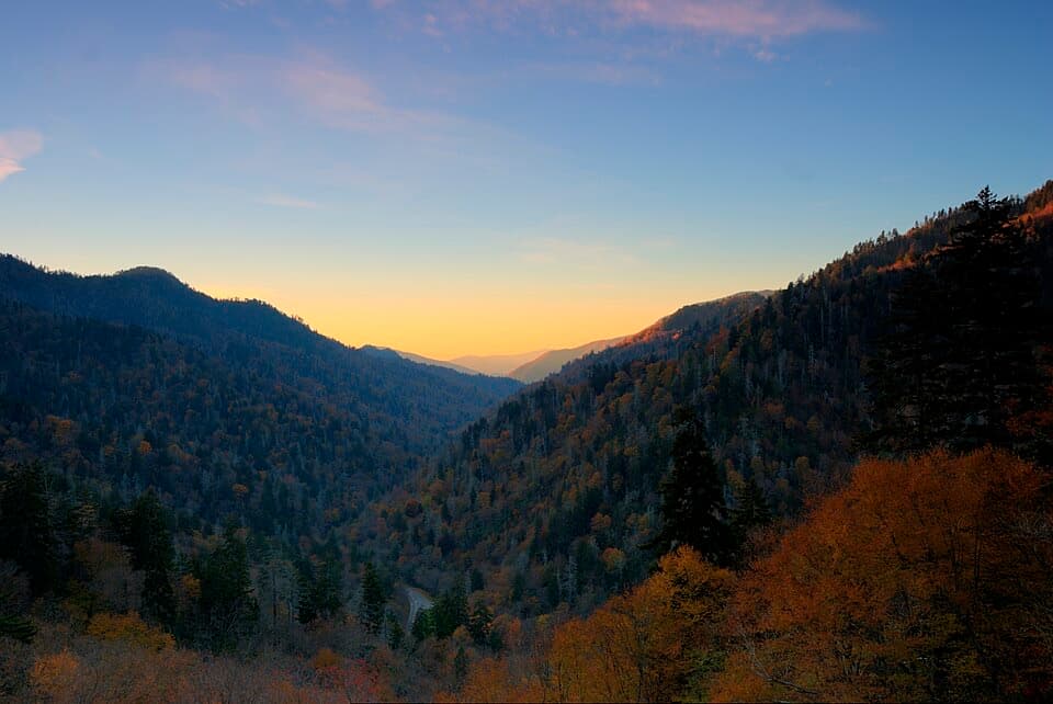 Sight · 3.1 mi awayBen Morton OverlookA west-facing Smokies overlook with a seasonal sunset alignment.
 Sight · 3.2 mi awayNewfound Gap OverlookA 5,046-foot pass, a state line, and a historic terrace.
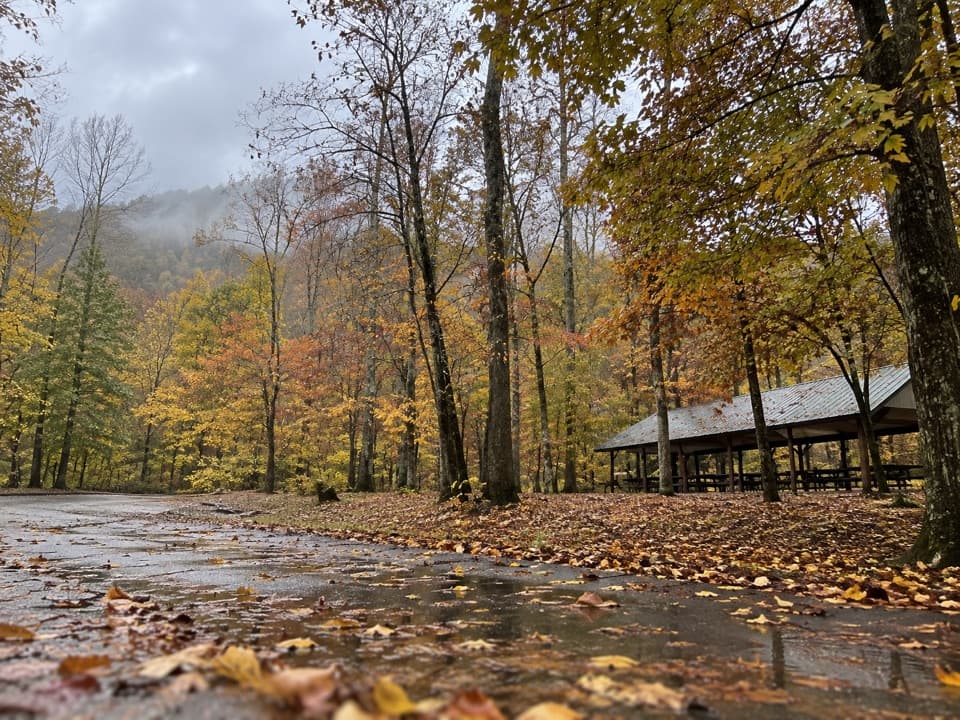 Picnic area · 3.4 mi awayCollins Creek Picnic AreaA shady picnic break with a short creekside walk
Parkwolf’s Great Smoky Mountains ranking

The audio tour guide for the drive, plus offline maps, trails, and wildlife heatmaps for when the signal drops.




