Pros & cons
PROS
- Unmatched 360-degree views from the tower
- Historic CCC-built tower at the highest elevation in the East
CONS
- Reaches only via steep, sustained climbs
- Stairs feel airy and can be wobbly; tiny cab at the top
Overview
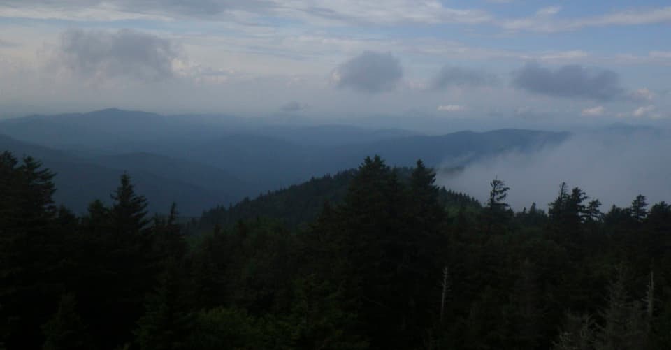
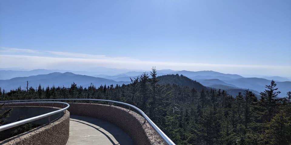
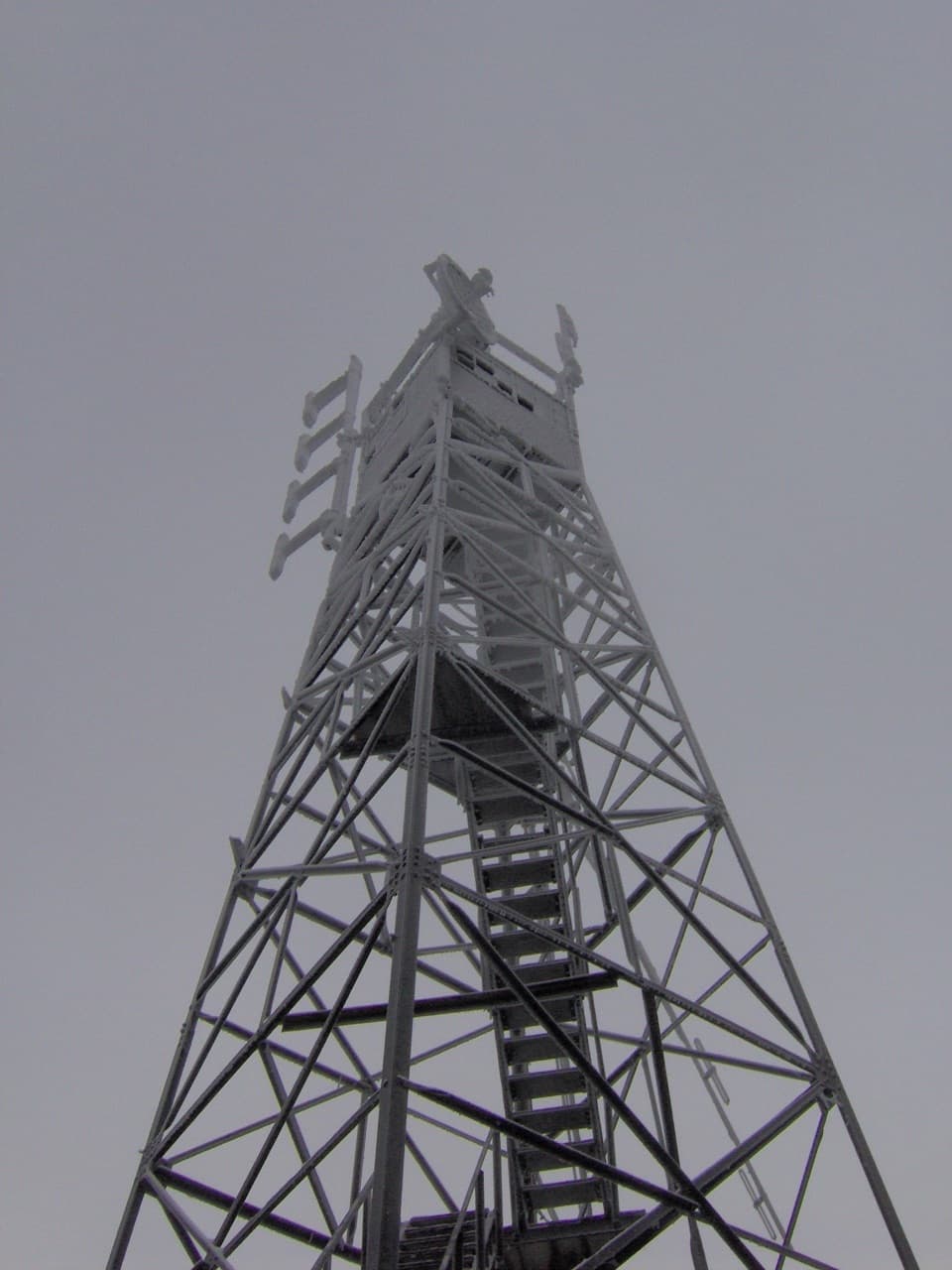
Perched atop 5,842 feet, this 60‑foot metal fire tower is a true Smokies trophy: highest‑elevation fire tower in the eastern U.S., built by the Civilian Conservation Corps in the 1930s. There are no views from the base—climb the stairs for the reward, and you’ll get sweeping, all‑directions mountain vistas on clear days.
The Hike In
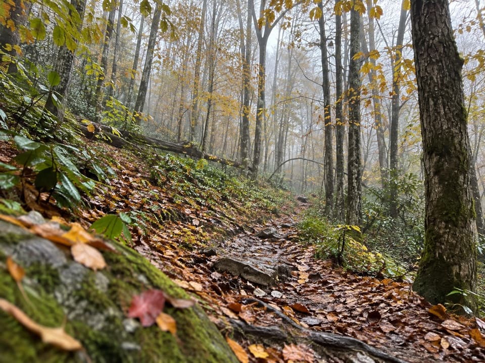
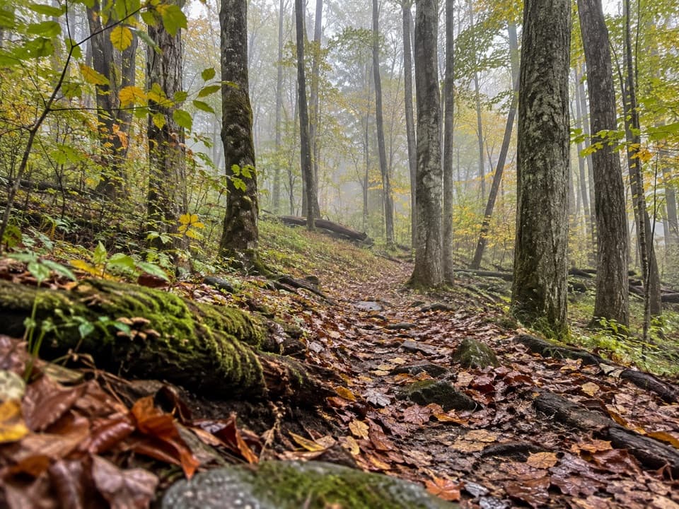
You earn this one. From Mount Sterling Gap, it’s roughly 2.7–2.8 miles with about 2,000 feet of gain—short but steep. From Big Creek via Baxter Creek Trail, plan on about 6.1–6.2 miles one way and 4,100+ feet of relentless climbing, among the steepest sustained ascents in the park. There’s also a demanding ~17‑mile loop via Big Creek → Swallow Fork → Mt. Sterling Ridge.
Access to Mount Sterling Gap is via a narrow, winding gravel road with very limited parking; Big Creek parking can also fill. Whichever route you take, expect a steady grind and minimal views until the summit.
What You’ll See Up Top
Climb the tower for the full panorama—on clear days you can pick out Smokies heavyweights in every direction. The cab holds only 3–4 people, so you may need to take turns. On windy days the old structure can feel shaky and exposed, and the stairs are steep with limited railings. Some visitors report cell signal at the top.
Nature & Notes
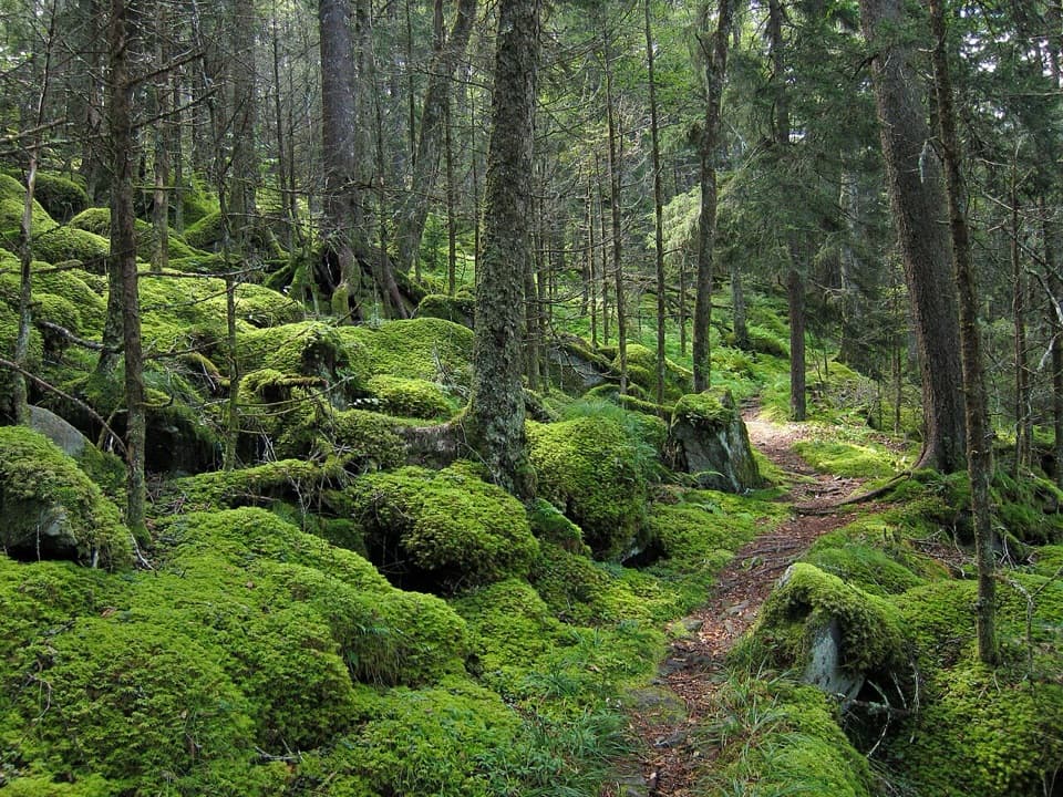
Spring brings wildflowers along the approach. Ecologically, Mount Sterling has history too—the balsam woolly adelgid that devastated many high‑elevation firs in the Smokies was first noted here in 1963. A designated backcountry campsite sits near the summit; it’s a rugged, no‑services spot.
Essentials and Regulations
There are no facilities at the summit—no water, restrooms, or trash cans. Dogs aren’t permitted on these trails. Parking longer than 15 minutes in the park requires a paid parking tag. Always check official park resources for current road/trail status and backcountry regulations.
Best Time to Visit
April through October is the prime season for hiking here. For the biggest views, aim for clear days; leaf‑off seasons further expand sightlines. Start early on weekends to beat limited parking. Avoid climbing the tower in high winds, lightning, or ice. Morning and late‑day light make the ridges pop for photography, but plan your turnaround with daylight to spare.
Where it is
35.7022, -83.1222Tips for Mount Sterling Fire Tower
- 01Climb the tower for views; there are none from the base.
- 02Choose a clear, calm day and skip the tower in wind, lightning, or ice.
- 03There’s no water or restroom at the summit—pack all you need and pack out trash.
- 04Parking is limited and access roads can be narrow gravel—arrive early.
- 05A paid parking tag is required and dogs aren’t allowed on these trails.
Amenities
Near Mount Sterling Fire Tower
All places →All trails →
1.4 mi awayMount Sterling TrailRelentless climb to a 360° panorama from a swaying historic tower.Challenging · 5.4 mi · 3.6 hr
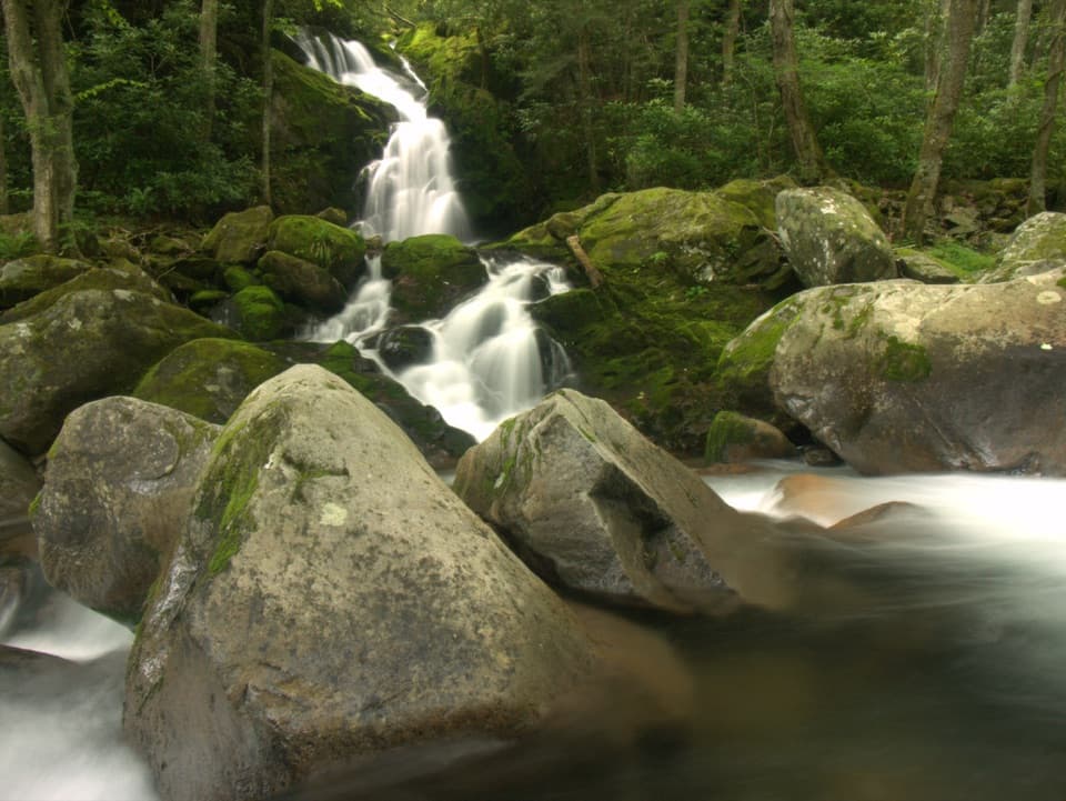
2.3 mi awayMouse Creek FallsCreekside hike to a photogenic 45-foot cascade via Big CreekParking · Restroom
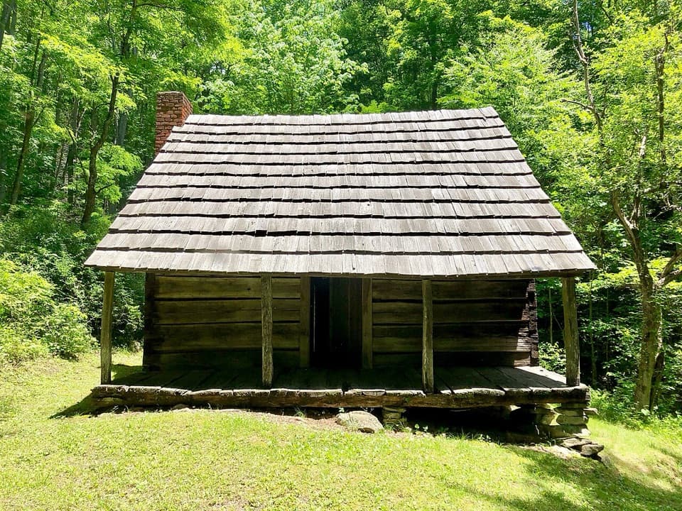
2.5 mi awayHannah CabinRestored 1864 homestead with a rare brick chimney on a quiet trail
2.6 mi awayBig Creek TrailheadShady creekside gateway to Midnight Hole and Mouse Creek FallsTrailhead · Restroom
2.7 mi awayLittle Cataloochee TrailQuiet history hike to cabins, a church, and elk countryChallenging · 10.6 mi · 5.5 hr
3 mi awayLittle Cataloochee ChurchHistoric ridge-top church with a ringable bell and hillside cemetery
3.5 mi awayBaxter Creek TrailRelentless climb to Mt. Sterling’s fire tower through old-growth woodsChallenging · 12.4 mi · 8 hr
4.1 mi awayChestnut Branch TrailSteady creekside climb to the AT with lush forest and solitudeChallenging · 4.2 mi · 2.5 hr